 Block
Leah, Georgia
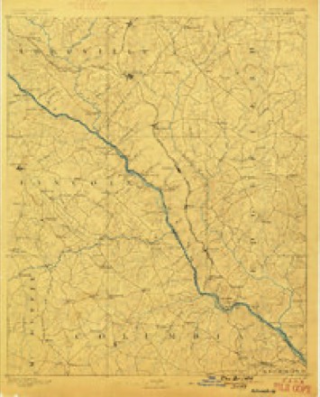
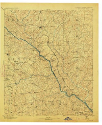
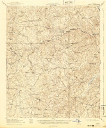
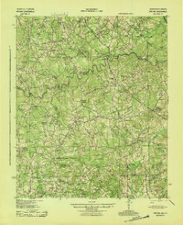
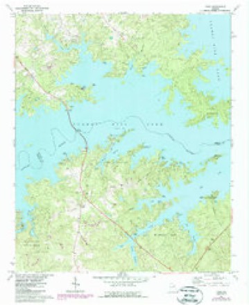
20 topographic sheets cover this place, the earliest surveyed in 1892 and the latest in 1988. It stands in the Appling census division. It lies in ZIP code area 30802. It stands on Canidy Branch. The Survey maps it on the Leah quadrangle.
Topographic sheets covering this place
11 surveys from 20 printed sheetsMatched by testing this settlement's coordinate against the published boundary of every sheet in the United States Geological Survey's historical collection. Each opens the scanned sheet at the Survey.
- 1892 USGS Mc Cormick quadrangle1:125000, 5 printings
- 1912 USGS Mc Cormick quadrangle1:125000
- 1921 USGS Appling quadrangle1:62500, 3 printings
- 1943 USGS Appling quadrangle1:62500
- 1953 USGS Athens quadrangle1:250000, 3 printings
- 1958 USGS Athens quadrangle1:250000
- 1959 USGS Athens quadrangle1:250000
- 1963 USGS Athens quadrangle1:250000
- 1971 USGS Leah quadrangle1:24000, 2 printings
- 1980 USGS Clark Hill Lake quadrangle1:100000
- 1988 USGS Athens quadrangle1:250000
Fires near this place
119 since 1992Regional context, not property-specific evidence. The federal wildfire occurrence database lists 119 fires within 5 miles of Leah between 1992 and 2019, burning about 306 acres in total. 7 started naturally. 12 were recorded as arson. Distance is straight-line from the map coordinates, so a fire counted here may appear on a neighbouring settlement's page as well.
| Reported cause | Fires |
|---|---|
| Debris and open burning | 55 |
| Missing data/not specified/undetermined | 16 |
| Arson/incendiarism | 12 |
| Equipment and vehicle use | 9 |
| Recreation and ceremony | 9 |
| Smoking | 8 |
| Natural | 7 |
| Misuse of fire by a minor | 3 |
The most recent of them, most recent first, with the day each was reported and the service that recorded it.
| Date | Cause | Size | Reported by | Name on the report |
|---|---|---|---|---|
| 8 September 2019 | Debris and open burning | under an acre | Georgia Forestry Commission | FY2020COLUMBIA001 |
| 28 September 2006 | Debris and open burning | 6.4 acres | Georgia Forestry Commission | not named |
| 21 September 2003 | Missing data/not specified/undetermined | under an acre | Georgia Forestry Commission | not named |
| 20 September 2011 | Debris and open burning | 11 acres | Georgia Forestry Commission | FY2012-COLUMBIA-014 |
| 16 September 1998 | Debris and open burning | under an acre | Georgia Forestry Commission | not named |
| 1 September 2011 | Smoking | under an acre | Georgia Forestry Commission | FY2012-COLUMBIA-009 |
| 9 August 2009 | Missing data/not specified/undetermined | 2.1 acres | Georgia Forestry Commission | not named |
| 4 August 2008 | Natural | 32 acres | Georgia Forestry Commission | not named |
Settlements close enough to share some of these fires:
Mines and quarries near this place
1 within 5 milesRegional context, not property-specific evidence. The federal mineral resources record lists 1 working within 5 miles of Leah: 1 past producer. None of them still produces. What was taken out: Gold. Distance is straight-line from the map coordinates, so a quarry counted here may appear on a neighbouring settlement's page as well.
| Where | Site | Commodity | Status | Recorded |
|---|---|---|---|---|
| Bohler (Mathis) | Gold | Past Producer | Vein |
Storms near this place
23 since 1998Regional context, not property-specific evidence. The National Weather Service names Leah in 23 storm reports between 1998 and 2023: 17 thunderstorm wind, 4 hail, 1 tornado, 1 funnel cloud. The reports record 3 injuries. Each account below is quoted exactly as the forecast office filed it, from the NOAA Storm Events Database, and each date opens the federal record of that event.
| When | Event | Place named | Harm | What the report says |
|---|---|---|---|---|
| April 2017 | Thunderstorm Wind | Leah | 2 hurt | Significant damage was done to a dock, 20 boats were destroyed, and another|20 to 30 boats suffered extensive damage, at Pointes West Army Resort in the Fort Gordon Recreational Area on Clarks Hill Lake. Several pine trees were also snapped, all facing easterly. 2 persons, who were on the dock at the time, suffered minor injuries as the dock overturned. |
| June 2016 | Thunderstorm Wind | Leah | 1 hurt | Downburst winds from a thunderstorm produced an area of significant damage to trees and property. The event occurred at Mistletoe State Park in northern Columbia County, GA. Nearly 200 trees had limb damage, were uprooted or snapped. There was a mixture of hardwood and softwood trees, however softwood trees made up most of the trees in this area of the park. There were approximately 10 vehicles that suffered significant damage. There were 10 to 15 campers that suffered significant damage with one overturned. The overturned camper was a pop-up camper. The wind being channeled into a couple of the coves may have produced some of the strongest winds with the event. The diameter of the trees damaged ranged from around 6 inches up to 2 feet. The damage stretched from the park ranger residence northward to the end of the point where the campground is located. This distance is approximately one half mile. There was one injury associated with this event. A 5 year old female child inside one of the campers that was struck by a fallen tree suffered a broken arm. About $25,000 in damage was done to the cabins at the park. Damage estimates for the vehicles and campers is unknown. |
| May 2010 | Thunderstorm Wind | Leah | $200,000 | A severe thunderstorm produced a microburst in the western end of Columbia County early this morning around 12:30 a.m. downing numerous trees and power lines. Quarter size hail was also reported in the affected area. ||Columbia County Roads & Bridges crews have been out since 2am clearing the trees from the roadways. The supervisor advised me at 7:45 a.m. that they were near finished clearing the fallen trees from the roadways.||One of the affected residents on Old Lincolnton Road in Appling advised me this morning that her family had been awakened by the loud boom of thunder and then saw the rain blowing sideways, followed by the large hail pounding on her home. Thats when a70-foot tall pine tree was blown over onto her home. ||All of the downed trees are laying in the same direction, indicating the microburst and not a tornado. However, the howling fierceness of the wind in a microburst is very much like a tornadojust in a straight line.||Below is a list of locations of reports of trees down, power lines down, and property damage:||Trees Down:||1. 104/Waters Edge Ln. |2. Crawford Place Dr/Ray Owens Rd.|3. Ridge Rd/104.|4. Cobbham Rd/Ray Owens Rd.|5. Ray Owens/Tom Bartles Rd.|6. Full Moon Dr/Keg Creek.|7. 3262 Ray Owens Rd.|8. Eubanks Rd/(104/Ray Owens).|9. Cobbham/Gales intersection. |10. Old Lincolnton Road/Tommy Shaw Drive.|11. 6400 block of Ridge Road.|12. Keg Creek/Full Moon Drive.|13. 6514 Washington Road.|14. Ridge Road/Bohler Drive.||Power Lines Down:||1. 3262 Ray Owens Rd.|2. Full Moon Dr/Keg Creek.|3. Ridge Rd/Ray Owens received @ 4am.|4. Eubanks Rd(104/Ray Owens).|5. Keg Creek/Full Moon.|6. 6514 Washington Road.||Property Damage:||1. 6633 Eubanks Dr.|2. Eubanks Dr./Suan Dr.|3. 4219 Old Lincolnton Road. |
| June 2013 | Thunderstorm Wind | Leah | $3,000 | Sheriff reported a couple of trees and a powerline down at a campground on Ridge Road. |
| July 2012 | Thunderstorm Wind | Leah | $2,000 | Sheriff reported powerlines down on Ridge Road. |
| July 2010 | Thunderstorm Wind | Leah | $2,000 | Sheriff reported a couple of trees down on Ridge Road. |
| July 2023 | Thunderstorm Wind | Leah | - | Multiple downed trees on Hwy 47 just south of Clarks Hill Lake. Time estimated. |
| December 2015 | Thunderstorm Wind | Leah | - | County Sheriff reported a tree down on Ray Owens Road and Eubank Drive. |
| April 2013 | Funnel Cloud | Leah | - | Columbia County CERT Team member and other members of the public saw a funnel cloud over the east end of the Ft. Gordon Recreation Area. |
| July 2012 | Hail | Leah | - | The public reported quarter size hail on Ridge Road. |
| April 2010 | Thunderstorm Wind | Leah | - | Spotter reported large limbs down along Ridge Road. |
| April 2010 | Thunderstorm Wind | Leah | - | Spotter reported large limbs down. |
| August 2009 | Thunderstorm Wind | Leah | - | Little River Marina reported large limbs down across the road. |
| June 2008 | Thunderstorm Wind | Leah | - | Several trees down and large limbs on campground roads. Several tents damaged and two campers slightly damaged by downed large limbs. Reported by park offials at the Ridge Rd. Corps of Engineers campground on Lake Thurmond. |
| June 2008 | Hail | Leah | - | Nickel size hail reported at Ridge Rd. Corps of Engineers campground on Lake Thurmond. |
| August 2008 | Thunderstorm Wind | Leah | - | Emergency manager reported some powerlines down from Chennault to the Midway area with outages. |
| May 2006 | Thunderstorm Wind | Leah | - | Emergency manager reported many trees and powerlines down in the Leah area. |
| January 2005 | Tornado (F0) | Leah | - | Storm Survey and witness reported a tornado touchdown at Little River marina. Trees were down and minor damage was done to a mobile home and the Marina store. |
| January 2005 | Hail | Leah | - | Public reported 3/4 inch hail. |
| November 2004 | Thunderstorm Wind | Leah | - | Highway Dept. reported large branches down in Leah. |
| June 2000 | Thunderstorm Wind | Leah | - | SKYWARN spotter reported trees down in Leah. |
| June 1998 | Thunderstorm Wind | Leah | - | Spotter reported trees down along highway 150. |
| May 1998 | Hail | Leah | - | Sheriff reported golf ball size hail. |
Nearest settlements
The eight closest, with where each one stands in the county. Distances are straight-line, computed from the Geographic Names Information System coordinates.
| Map | Place | Distance | Sheets |
|---|---|---|---|
| Dunn Chapel | 0.4 miles | 20 | |
| Phinizy | 3.7 miles | 20 | |
| Cluese (historical) | 3.7 miles | 20 | |
| Eubank (historical) | 4.0 miles | 20 | |
| Pollards Corner | 4.3 miles | 20 | |
| Winfield | 5.1 miles | 20 | |
| Winfield Hill | 5.3 miles | 19 | |
| Rosemont | 5.8 miles | 24 |
Provenance
This settlement is recorded in the Geographic Names Information System as feature 326362. The sheet list is computed by point-in-boundary test against the United States Geological Survey's historical topographic inventory. Both are works of the United States government and carry no copyright under 17 U.S.C. 105.
Wildfire. Short, Karen C. 2022. Spatial wildfire occurrence data for the United States, 1992-2020 [FPA_FOD_20221014]. 6th Edition. Fort Collins, CO: Forest Service Research Data Archive. https://doi.org/10.2737/RDS-2013-0009.6 Collected with United States Government funding and usable without additional permissions or fees.
Mines and quarries. USGS Mineral Resources Data System (MRDS) https://mrdata.usgs.gov/mrds/ A work of the United States government, no copyright under 17 U.S.C. 105.
Storms. NOAA National Centers for Environmental Information, Storm Events Database https://www.ncei.noaa.gov/stormevents/ A work of the United States government, no copyright under 17 U.S.C. 105. Narratives are quoted verbatim from the National Weather Service report and are not edited or summarised.