 Block
Lees Mill, Georgia
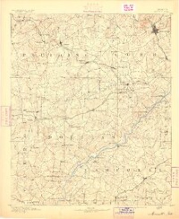
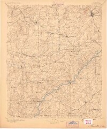
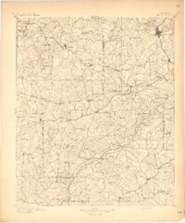
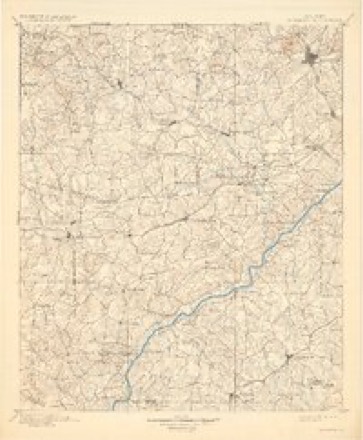
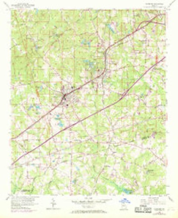
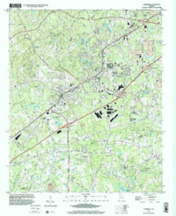
19 topographic sheets cover this place, the earliest surveyed in 1891 and the latest in 1999. It stands in the Fayetteville census division. It lies in ZIP code area 30214. It stands on Tar Creek. The Survey maps it on the Fairburn quadrangle.
Topographic sheets covering this place
10 surveys from 19 printed sheetsMatched by testing this settlement's coordinate against the published boundary of every sheet in the United States Geological Survey's historical collection. Each opens the scanned sheet at the Survey.
- 1891 USGS Marietta quadrangle1:125000
- 1895 USGS Marietta quadrangle1:125000
- 1897 USGS Marietta quadrangle1:125000
- 1901 USGS Marietta quadrangle1:125000, 4 printings
- 1953 USGS Atlanta quadrangle1:250000, 2 printings
- 1954 USGS Fairburn quadrangle1:24000, 6 printings
- 1957 USGS Atlanta quadrangle1:250000
- 1958 USGS Atlanta quadrangle1:250000
- 1981 USGS Atlanta quadrangle1:100000
- 1999 USGS Fairburn quadrangle1:24000




Fires near this place
101 since 1992Regional context, not property-specific evidence. The federal wildfire occurrence database lists 101 fires within 5 miles of Lees Mill between 1992 and 2019, burning about 392 acres in total. 6 started naturally. 22 were recorded as arson. Distance is straight-line from the map coordinates, so a fire counted here may appear on a neighbouring settlement's page as well.
| Reported cause | Fires |
|---|---|
| Debris and open burning | 39 |
| Arson/incendiarism | 22 |
| Misuse of fire by a minor | 10 |
| Recreation and ceremony | 8 |
| Smoking | 6 |
| Natural | 6 |
| Missing data/not specified/undetermined | 6 |
| Equipment and vehicle use | 2 |
| Railroad operations and maintenance | 2 |
The most recent of them, most recent first, with the day each was reported and the service that recorded it.
| Date | Cause | Size | Reported by | Name on the report |
|---|---|---|---|---|
| 9 September 2019 | Recreation and ceremony | 1.0 acres | Georgia Forestry Commission | FY2020FAYETTE001 |
| 16 September 1995 | Debris and open burning | under an acre | Georgia Forestry Commission | not named |
| 12 September 2014 | Natural | under an acre | Georgia Forestry Commission | FY2015-FAYETTE-001 |
| 16 August 2016 | Natural | under an acre | Georgia Forestry Commission | FY2017-FAYETTE-001 |
| 16 August 2012 | Railroad operations and maintenance | under an acre | Georgia Forestry Commission | FY2013-FAYETTE-002 |
| 8 July 1993 | Arson/incendiarism | 2.2 acres | Georgia Forestry Commission | not named |
| 26 July 1995 | Debris and open burning | under an acre | Georgia Forestry Commission | not named |
| 25 July 1995 | Arson/incendiarism | under an acre | Georgia Forestry Commission | not named |
Settlements close enough to share some of these fires:
Mines and quarries near this place
2 within 5 milesRegional context, not property-specific evidence. The federal mineral resources record lists 2 workings within 5 miles of Lees Mill: 1 past producer, 1 producer. 1 still produces. What was taken out: Stone, Crushed/Broken. Distance is straight-line from the map coordinates, so a quarry counted here may appear on a neighbouring settlement's page as well.
| Where | Site | Commodity | Status | Recorded |
|---|---|---|---|---|
| Scott Development Quarry | Stone, Crushed/Broken | Past Producer | ||
| Tyrone Quarry | Stone, Crushed/Broken | Producer |
Storms near this place
14 since 2006Regional context, not property-specific evidence. The National Weather Service names Lees Mill in 14 storm reports between 2006 and 2025: 5 thunderstorm wind, 3 tornado, 3 lightning, 2 hail. No death or injury is recorded in these reports. Each account below is quoted exactly as the forecast office filed it, from the NOAA Storm Events Database, and each date opens the federal record of that event.
| When | Event | Place named | Harm | What the report says |
|---|---|---|---|---|
| January 2006 | Tornado (F2) | Lees Mill | $2,000,000 | A damage survey conducted by the National Weather Service in Peachtree City Georgia and the Fayette County Emergency Management Director concluded that the F2 tornado, which originally developed in far south Fulton county just east of Palmetto continued into extreme northwest Fayette county. The overall tornado path length was seven miles, of which approximately three miles occurred within Fayette county. The maximum path width was 1/4 mile. The most significant damage associated with the tornado occurred in Fayette county. The tornado entered the county just south of Fairburn and just west of Georgia Highway 74 (Senoia Road) near Milam Road. In this area the tornado destroyed a small apartment home and rolled a hay baler approximately 15 yards from its origin. A number of trees were uprooted or snapped off in this area as well. The storm then skipped across Georgia Highway 74 just south of the Wendell Coffee Golf Center into the River Oaks Subdivision. A home on Westbourne Drive next to the Golf Center was damaged with trees down on the structure. A metal awning was also torn off the home. Further down the street, also in the River Oaks Subdivision, a large home was damaged beyond repair and about six others sustained minor to moderate damage, mainly to the roofs of the structures. While one family was trapped in their home during the event, they were rescued without injury. The tornado ended in the 600 block of Westbourne Drive in the River Oaks Subdivision. |
| August 2007 | Lightning | Lees Mill | $400,000 | The Fayette County Emergency Management Director reported that at least three homes and one business were struck by lighting resulting in fires and minor to moderate damage to the structures. A home on New Castle Drive in Fayetteville was a total loss and suffered $275,000 in damages. Another home on Georgia Highway 314 suffered $100,000 in damages, another on Buckeye Lane $10,000, and minor damage to a business at the Fayette Pavilion Shopping Center about two miles north of Fayetteville. There were several other lightning related calls to the fire department that evening, but no damage was reported at the other locations. |
| December 2011 | Tornado (EF0) | Lees Mill | $25,000 | A damage survey conducted by the National Weather Service Forecast Office in Peachtree City confirmed that a brief EF0 tornado affected far north Fayette county. The tornado touched down near Lees Mill Road just west of Georgia Highway 92 and traveled northeast about one mile before lifting just northeast of the end of Hill Road. Approximately 50 trees and six power poles were downed or snapped along the path of the tornado, especially along Hill Road. One home on Hill Road lost several shingles, a few gutters, and a portion of the flashing on its roof. A wooden fence was also destroyed at the same property from downed trees. WSR-88D also indicated that the circulation that spawned this tornado was likely associated with the same circulation that earlier spawned an EF1 tornado in Coweta county.||[12/22/11: Tornado #6, County #1-1, EF0, Fayette, 2011:032]. |
| July 2012 | Lightning | Lees Mill | $20,000 | The Fayette County Emergency Manager reported that a home was struck by lightning on North Highway 92. The fire was quickly extinguished, but the home sustained some smoke and electrical damage. |
| February 2019 | Tornado (EF0) | Lees Mill | $10,000 | A national Weather Service survey team found that an EF0 tornado with maximum winds of 70 mph and a maximum path width of 150 yards briefly touched down in northern Fayette County. Several trees were snapped or uprooted between Bentley Way and Thornton Way/Drive, including along Bentley Lane and New Oakridge Trail. [02/12/19: Tornado #1, County #1/1, EF-0, Fayette, 2019:001]. |
| August 2023 | Thunderstorm Wind | Lees Mill | $5,000 | Multiple trees down along Forest Ave near Long Rd. |
| July 2024 | Thunderstorm Wind | Lees Mill | $1,000 | Utility lines were downed in the 200 block of Rivers Road. |
| August 2023 | Thunderstorm Wind | Lees Mill | $1,000 | Power lines down at 1600 block of North Hwy 92. |
| August 2023 | Lightning | Lees Mill | $1,000 | Lightning struck tree which fell on powerlines at Lees Lake Rd and Buckeye Rd. |
| February 2025 | Hail | Lees Mill | - | Ham radio operator reports call of quarter size hail at hillside dr and valley green dr. |
| February 2025 | Thunderstorm Wind | Lees Mill | - | Ham radio operator reports tree down on roof with damage to structure at valley green dr and sandy creek rd. |
| January 2023 | Thunderstorm Wind | Lees Mill | - | Report of tree down on King Arthur Ct. |
| December 2021 | Flash Flood | Lees Mill | - | The Emergency Manager reported flooding of the Brogdon Road and New Hope Road intersection. Radar estimates indicate that between 1.5 to 2 inches of rain occurred over the area, on top of 1 to 2 inches that occurred the day before. These rainfall amounts, falling on saturated soils, produced high runoff rates and resulted in the flash flooding. |
| March 2017 | Hail | Lees Mill | - | The public reported quarter size hail off Westbourne Drive. |
Nearest settlements
The eight closest, with where each one stands in the county. Distances are straight-line, computed from the Geographic Names Information System coordinates.
| Map | Place | Distance | Sheets |
|---|---|---|---|
| River Forest | 1.1 miles | 19 | |
| McClenney Estates | 1.2 miles | 19 | |
| Hopeful | 1.6 miles | 21 | |
| Sandy Creek | 1.7 miles | 9 | |
| Bethany | 1.9 miles | 19 | |
| Sandy Ridge Estates | 2.0 miles | 19 | |
| Brogdon | 2.1 miles | 19 | |
| Fayette Acres | 2.2 miles | 10 |
Provenance
This settlement is recorded in the Geographic Names Information System as feature 1687834. The sheet list is computed by point-in-boundary test against the United States Geological Survey's historical topographic inventory. Both are works of the United States government and carry no copyright under 17 U.S.C. 105.
Wildfire. Short, Karen C. 2022. Spatial wildfire occurrence data for the United States, 1992-2020 [FPA_FOD_20221014]. 6th Edition. Fort Collins, CO: Forest Service Research Data Archive. https://doi.org/10.2737/RDS-2013-0009.6 Collected with United States Government funding and usable without additional permissions or fees.
Mines and quarries. USGS Mineral Resources Data System (MRDS) https://mrdata.usgs.gov/mrds/ A work of the United States government, no copyright under 17 U.S.C. 105.
Storms. NOAA National Centers for Environmental Information, Storm Events Database https://www.ncei.noaa.gov/stormevents/ A work of the United States government, no copyright under 17 U.S.C. 105. Narratives are quoted verbatim from the National Weather Service report and are not edited or summarised.