 Block
Luxomni, Georgia
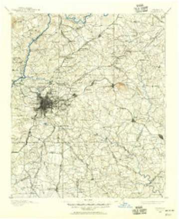
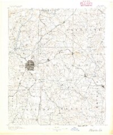
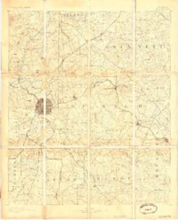
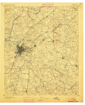
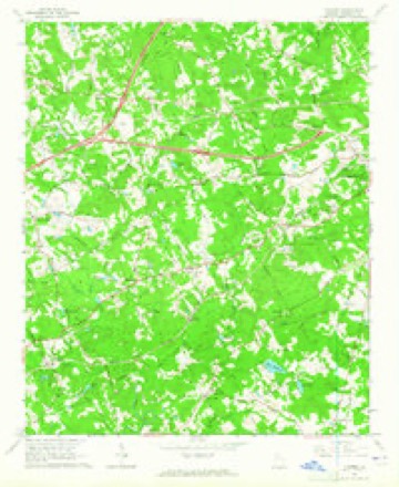
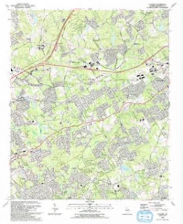
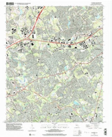
21 topographic sheets cover this place, the earliest surveyed in 1888 and the latest in 1999. It stands in the Lilburn census division. It lies in ZIP code area 30047. It stands on Camp Creek. The Survey maps it on the Luxomni quadrangle.
Topographic sheets covering this place
11 surveys from 21 printed sheetsMatched by testing this settlement's coordinate against the published boundary of every sheet in the United States Geological Survey's historical collection. Each opens the scanned sheet at the Survey.
- 1888 USGS Atlanta quadrangle1:125000
- 1890 USGS Atlanta quadrangle1:125000
- 1892 USGS Atlanta quadrangle1:125000
- 1895 USGS Atlanta quadrangle1:125000, 7 printings
- 1953 USGS Atlanta quadrangle1:250000, 2 printings
- 1957 USGS Atlanta quadrangle1:250000
- 1958 USGS Atlanta quadrangle1:250000
- 1963 USGS Luxomni quadrangle1:24000, 4 printings
- 1981 USGS Atlanta quadrangle1:100000
- 1992 USGS Luxomni quadrangle1:24000
- 1999 USGS Luxomni quadrangle1:24000




Fires near this place
60 since 1992Regional context, not property-specific evidence. The federal wildfire occurrence database lists 60 fires within 5 miles of Luxomni between 1992 and 2017, burning about 152 acres in total. None started naturally. 30 were recorded as arson. Distance is straight-line from the map coordinates, so a fire counted here may appear on a neighbouring settlement's page as well.
| Reported cause | Fires |
|---|---|
| Arson/incendiarism | 30 |
| Debris and open burning | 10 |
| Misuse of fire by a minor | 8 |
| Recreation and ceremony | 6 |
| Smoking | 2 |
| Missing data/not specified/undetermined | 2 |
| Equipment and vehicle use | 2 |
The most recent of them, most recent first, with the day each was reported and the service that recorded it.
| Date | Cause | Size | Reported by | Name on the report |
|---|---|---|---|---|
| 9 September 2007 | Arson/incendiarism | under an acre | Georgia Forestry Commission | not named |
| 22 August 1993 | Arson/incendiarism | 14 acres | Georgia Forestry Commission | not named |
| 2 August 1995 | Debris and open burning | under an acre | Georgia Forestry Commission | not named |
| 13 August 1995 | Arson/incendiarism | 1.2 acres | Georgia Forestry Commission | not named |
| 4 July 1996 | Recreation and ceremony | under an acre | Georgia Forestry Commission | not named |
| 30 July 2000 | Misuse of fire by a minor | 22 acres | Georgia Forestry Commission | FY2001-GWINNETT-004 |
| 26 July 1995 | Arson/incendiarism | under an acre | Georgia Forestry Commission | not named |
| 24 July 1995 | Arson/incendiarism | under an acre | Georgia Forestry Commission | not named |
Settlements close enough to share some of these fires:
Mines and quarries near this place
2 within 5 milesRegional context, not property-specific evidence. The federal mineral resources record lists 2 workings within 5 miles of Luxomni: 2 producers. All of them still produce. What was taken out: Stone, Crushed/Broken. Distance is straight-line from the map coordinates, so a quarry counted here may appear on a neighbouring settlement's page as well.
| Where | Site | Commodity | Status | Recorded |
|---|---|---|---|---|
| Norcross Quarry | Stone, Crushed/Broken | Producer | ||
| Norcross Shops | Stone, Crushed/Broken | Producer |
Storms near this place
16 since 2009Regional context, not property-specific evidence. The National Weather Service names Luxomni in 16 storm reports between 2009 and 2023: 10 thunderstorm wind, 2 hail, 2 lightning, 1 flash flood. The reports record 2 injuries. Each account below is quoted exactly as the forecast office filed it, from the NOAA Storm Events Database, and each date opens the federal record of that event.
| When | Event | Place named | Harm | What the report says |
|---|---|---|---|---|
| June 2018 | Thunderstorm Wind | Luxomni | 1 hurt, $100,000 | The local broadcast media reported a tree blown down onto an apartment building in Lawrenceville. Significant damage occurred to the apartment block and one minor injury was reported. |
| March 2021 | Thunderstorm Wind | Luxomni | 1 hurt, $12,000 | The Gwinnett County Emergency Manager reported trees blown down, including one onto a home and one onto powerlines, from Harvard Drive NW in Lilburn to Mirandy Way and Granada Place NW near Pleasant Hill. |
| July 2010 | Lightning | Luxomni | $150,000 | The Gwinnett County Emergency Management Director reported that lightning struck a home on Paisley Court in Lilburn. The resulting fire destroyed the single-story wood-frame home. |
| October 2020 | Tornado (EF0) | Luxomni | $100,000 | A National Weather Service survey team found that an EF0 tornado with maximum wind speeds of 80 mph and a maximum path width of 200 yards travelled 0.7 miles across a portion of northeast Lilburn in southwest Gwinnett County. The tornado touched down just west of Bethesda Park, between Lilburn and Lawrenceville and moved northwest, snapping or uprooting multiple trees in a residential area between Oak Park Drive NW and Sweetwater Drive. Several trees fell onto homes, but damage to these homes were minor. Before lifting, the tornado crossed Lawrenceville Highway, snapping a few additional trees. No injuries were reported. [10/10/20: Tornado #7, County #1/1, EF-0, Gwinnett, 2020:034]. |
| February 2020 | Thunderstorm Wind | Luxomni | $20,000 | The Gwinnett County Emergency Manager reported numerous trees and power lines blown down across the county from Norcross Duluth and Snellville to Lawrenceville and Suwanee. |
| June 2015 | Lightning | Luxomni | $10,000 | The Gwinnett County Emergency Manager reported a nursing home fire caused by lightning on Club Drive in Lawrenceville. |
| July 2020 | Thunderstorm Wind | Luxomni | $5,000 | The Gwinnett County Emergency Manager reported a few trees and power lines blown down from Tambec Trace NW in Lilburn to Vivid Drive SW in Stone Mountain. |
| June 2017 | Flash Flood | Luxomni | $5,000 | A USGS stream gage on the Sweetwater Creek at Club Drive NW in Lilburn reached flood stage and crest at 13.4 feet. Minor flooding occurred in the woodlands downstream from the gage, and portions of the Northwood Country Club Golf Course were flooded upstream of the gage. An old concrete golf cart bridge downstream of the gage was also flooded with a few feet of water. Radar estimates indicate that 3 to 4 inches of rain occurred over the area. |
| August 2023 | Thunderstorm Wind | Luxomni | $1,000 | Powerlines downed along Bob Hannah Circle NW. |
| June 2023 | Thunderstorm Wind | Luxomni | $1,000 | Tree down blocking roadway at intersection of Navajo Court and Indian way. |
| July 2020 | Thunderstorm Wind | Luxomni | $1,000 | The public reported a tree blown down along Ives Way. |
| January 2023 | Thunderstorm Wind | Luxomni | - | Report of powerlines down near intersection of Beaver Ruin Rd NW and Shady Dr NW. |
| January 2023 | Thunderstorm Wind | Luxomni | - | Report of trees causing powerlines down near intersection of Rebecca St NW and Charles St NW. |
| January 2023 | Thunderstorm Wind | Luxomni | - | Report of tree on building near intersection of Burns Rd NW and Walking Lane NW. |
| May 2017 | Hail | Luxomni | - | The public reported quarter size hail at the Murphy USA gas station in Lilburn. |
| August 2009 | Hail | Luxomni | - | A storm spotter observed penny to quarter-sized hail in the vicinity of the intersection of Lawrenceville Highway and Pleasant Hill Road. Winds gusts of 45 mph were also observed in the area. |
Nearest settlements
The eight closest, with where each one stands in the county. Distances are straight-line, computed from the Geographic Names Information System coordinates.
| Map | Place | Distance | Sheets |
|---|---|---|---|
| Sarann Woods | 0.6 miles | 21 | |
| Lester Woods | 0.7 miles | 21 | |
| Burnt Creek | 1.2 miles | 21 | |
| Berkshire (historical) | 1.4 miles | 21 | |
| Lilburn | 1.5 miles | 21 | |
| Beaver Hills | 1.5 miles | 21 | |
| Stoneview Acres | 1.7 miles | 21 | |
| Cedar Creek | 1.9 miles | 22 |
Elsewhere
Matched on this settlement's Geographic Names Information System number rather than its name, so it cannot be a different place of the same name in another state.
| Wikipedia article on Luxomni | An encyclopaedic summary. Its text is share-alike, so it is linked here rather than copied. |
| Wikidata item Q14686703 | The structured record the population and elevation above come from. Public domain (CC0). |
Provenance
This settlement is recorded in the Geographic Names Information System as feature 326381. The sheet list is computed by point-in-boundary test against the United States Geological Survey's historical topographic inventory. Both are works of the United States government and carry no copyright under 17 U.S.C. 105.
Wildfire. Short, Karen C. 2022. Spatial wildfire occurrence data for the United States, 1992-2020 [FPA_FOD_20221014]. 6th Edition. Fort Collins, CO: Forest Service Research Data Archive. https://doi.org/10.2737/RDS-2013-0009.6 Collected with United States Government funding and usable without additional permissions or fees.
Mines and quarries. USGS Mineral Resources Data System (MRDS) https://mrdata.usgs.gov/mrds/ A work of the United States government, no copyright under 17 U.S.C. 105.
Storms. NOAA National Centers for Environmental Information, Storm Events Database https://www.ncei.noaa.gov/stormevents/ A work of the United States government, no copyright under 17 U.S.C. 105. Narratives are quoted verbatim from the National Weather Service report and are not edited or summarised.