 Block
Moye, Georgia
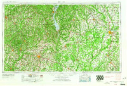
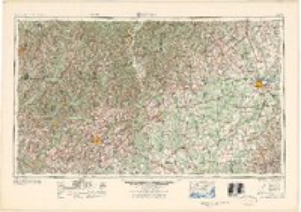
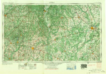
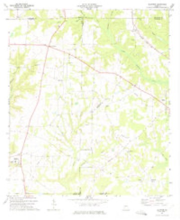
7 topographic sheets cover this place, the earliest surveyed in 1953 and the latest in 1981. It stands in the Edison census division. It lies in ZIP code area 39846. It stands on McKinnon Branch. The Survey maps it on the Bluffton quadrangle.
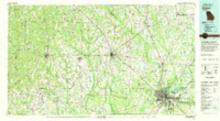
Topographic sheets covering this place
5 surveys from 7 printed sheetsMatched by testing this settlement's coordinate against the published boundary of every sheet in the United States Geological Survey's historical collection. Each opens the scanned sheet at the Survey.
- 1953 USGS Dothan quadrangle1:250000, 3 printings
- 1954 USGS Dothan quadrangle1:250000
- 1955 USGS Dothan quadrangle1:250000
- 1973 USGS Bluffton quadrangle1:24000
- 1981 USGS Albany quadrangle1:100000
Fires near this place
218 since 1992Regional context, not property-specific evidence. The federal wildfire occurrence database lists 218 fires within 5 miles of Moye between 1992 and 2020, burning about 656 acres in total. 6 started naturally. 9 were recorded as arson. Distance is straight-line from the map coordinates, so a fire counted here may appear on a neighbouring settlement's page as well.
| Reported cause | Fires |
|---|---|
| Debris and open burning | 154 |
| Equipment and vehicle use | 18 |
| Missing data/not specified/undetermined | 10 |
| Arson/incendiarism | 9 |
| Railroad operations and maintenance | 8 |
| Natural | 6 |
| Smoking | 5 |
| Misuse of fire by a minor | 4 |
| Recreation and ceremony | 4 |
The most recent of them, most recent first, with the day each was reported and the service that recorded it.
| Date | Cause | Size | Reported by | Name on the report |
|---|---|---|---|---|
| 9 September 2002 | Missing data/not specified/undetermined | under an acre | Georgia Forestry Commission | FY2003-CALHOUN-003 |
| 8 September 2018 | Arson/incendiarism | under an acre | Georgia Forestry Commission | FY2019CALHOUN001 |
| 8 September 1998 | Recreation and ceremony | under an acre | Georgia Forestry Commission | not named |
| 5 September 1997 | Debris and open burning | under an acre | Georgia Forestry Commission | not named |
| 29 September 1993 | Smoking | under an acre | Georgia Forestry Commission | not named |
| 24 September 2008 | Equipment and vehicle use | 2.0 acres | Georgia Forestry Commission | not named |
| 23 September 1997 | Equipment and vehicle use | 2.5 acres | Georgia Forestry Commission | not named |
| 2 September 2014 | Debris and open burning | 1.0 acres | Georgia Forestry Commission | FY2015-CALHOUN-001 |
Settlements close enough to share some of these fires:
Storms near this place
4 since 2016Regional context, not property-specific evidence. The National Weather Service names Moye in 4 storm reports between 2016 and 2018: 2 tornado, 2 thunderstorm wind. The reports record 5 injuries. Each account below is quoted exactly as the forecast office filed it, from the NOAA Storm Events Database, and each date opens the federal record of that event.
| When | Event | Place named | Harm | What the report says |
|---|---|---|---|---|
| April 2016 | Tornado (EF2) | Moye | 5 hurt, $150,000 | The combination of dual-polarization radar data and the damage survey show that the tornado initially touched down very close to the Clay/Randolph County line west of US Highway 27. The tornado then continued on a continuous path for nearly 16 miles across much of northwestern Calhoun County. Initial damage northwest of Edison, GA in northwestern Calhoun County was largely limited to downed or snapped trees. As the tornado neared Georgia Highway 216, there was an area of more concentrated damage along Magnolia Road. Two single wide mobile homes were destroyed at this location along with numerous snapped pine trees. Damage in this area was consistent with EF-1 damage or a maximum wind of around 100-105 mph. For the following four miles of the track, damage was once again limited to mostly downed or snapped trees. More significant damage occurred east of the Ichawaynochaway Creek north of Georgia Highway 37 near Dickey, GA. On Country Club Road, a single family residence was damaged, with a portion of the exterior brick wall collapsed, large sections of the roof removed, and debris blown 100-200 yards from the structure. Large trees near the residence were uprooted or snapped. Across the road, a double wide mobile home had some sections of walls and roof removed, and it was blown off its foundation by a couple feet. Additional large, healthy trees were snapped and uprooted at that location. Damage in this area was consistent with high end EF-1 to low end EF-2 damage, with a maximum wind of 110-120 mph. Even more significant damage occurred further east along the Dickey Bypass. Numerous trees in this area were snapped and uprooted. Along the south side of the road, a double-wide mobile home was completely obliterated with debris blown across the road about 50 yards or more into a tree line. This mobile home was strapped and anchored to the ground in several locations, with the anchors sticking into the ground approximately a foot. The mobile home frame separated completely and wrapped around a nearby tree. Numerous hardwood trees near the home were snapped. Damage at this location was the most intense along the track of this tornado and was consistent with strong EF-2 damage, with a maximum wind of 125 to 130 mph. Analysis of the damage patterns suggests that this mobile home may have been hit by a subvortex in the tornado, as debris was blown across the path of the tornado to the north. Most of the debris along the rest of the path tended to be blown in a more easterly direction. Just to the east of that residence, another house was damaged, with a small portion of the roof removed. The residents stated that the roof had separated from the walls, but set down again in a slightly different location. Almost all the pine trees near this house were snapped. The tree damage continued to the east for about another mile, with a medium sized shed or outbuilding also destroyed near the end of the tornado path. Total damage cost was estimated. |
| January 2017 | Tornado (EF2) | Moye | $200,000 | The tornado touched down in Clay County and moved northeast through the northwest corner of Calhoun County and into southern Randolph County. It caused extensive tree damage with nearly every tree in its path snapped through the Clay and Calhoun portions of the track. In addition, it flipped a mobile home in Clay County, injuring one person who was inside. The tornado caused major roof damage in Clay and Calhoun counties removing the roofing structure from two homes. It also caused minor roofing damage to several homes in all three counties. Damage cost was estimated. |
| August 2018 | Thunderstorm Wind | Moye | $3,000 | Widespread power outages occurred in western Calhoun county due to power lines down. |
| August 2018 | Thunderstorm Wind | Moye | - | A tree was blown down onto Wayback Road. |
Nearest settlements
The eight closest, with where each one stands in the county. Distances are straight-line, computed from the Geographic Names Information System coordinates.
| Map | Place | Distance | Sheets |
|---|---|---|---|
| Edison | 4.2 miles | 7 | |
| Parksville | 7.0 miles | 7 | |
| Dickey | 7.2 miles | 7 | |
| Turman | 8.0 miles | 7 | |
| Folks (historical) | 9.1 miles | 7 | |
| Morgan | 10.7 miles | 7 | |
| Cordrays Mill | 11.4 miles | 7 | |
| Arlington | 12.1 miles | 8 |
Provenance
This settlement is recorded in the Geographic Names Information System as feature 326410. The sheet list is computed by point-in-boundary test against the United States Geological Survey's historical topographic inventory. Both are works of the United States government and carry no copyright under 17 U.S.C. 105.
Wildfire. Short, Karen C. 2022. Spatial wildfire occurrence data for the United States, 1992-2020 [FPA_FOD_20221014]. 6th Edition. Fort Collins, CO: Forest Service Research Data Archive. https://doi.org/10.2737/RDS-2013-0009.6 Collected with United States Government funding and usable without additional permissions or fees.
Storms. NOAA National Centers for Environmental Information, Storm Events Database https://www.ncei.noaa.gov/stormevents/ A work of the United States government, no copyright under 17 U.S.C. 105. Narratives are quoted verbatim from the National Weather Service report and are not edited or summarised.