 Block
Nebo, Georgia
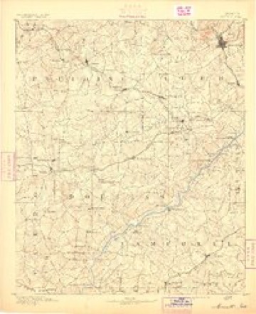
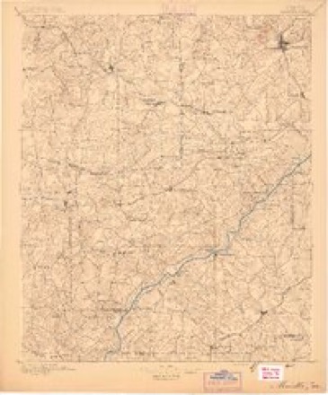
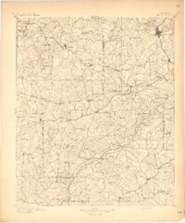
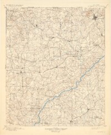
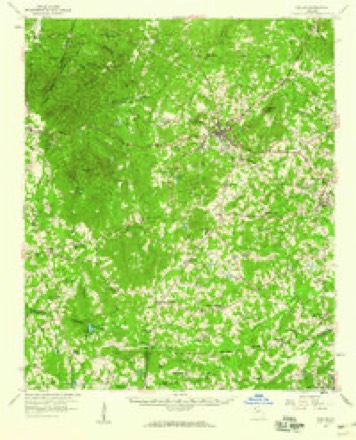
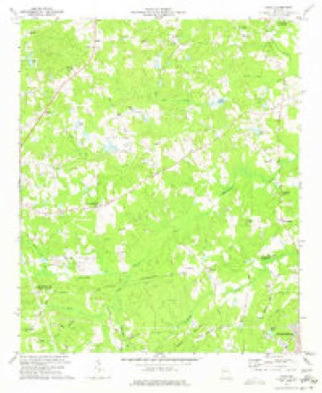
17 topographic sheets cover this place, the earliest surveyed in 1891 and the latest in 1981. It stands in the Hiram census division. It lies in ZIP code area 30157. The Survey maps it on the Nebo quadrangle.
Topographic sheets covering this place
10 surveys from 17 printed sheetsMatched by testing this settlement's coordinate against the published boundary of every sheet in the United States Geological Survey's historical collection. Each opens the scanned sheet at the Survey.
- 1891 USGS Marietta quadrangle1:125000
- 1895 USGS Marietta quadrangle1:125000
- 1897 USGS Marietta quadrangle1:125000
- 1901 USGS Marietta quadrangle1:125000, 4 printings
- 1953 USGS Atlanta quadrangle1:250000, 2 printings
- 1957 USGS Atlanta quadrangle1:250000
- 1958 USGS Atlanta quadrangle1:250000
- 1958 USGS Dallas quadrangle1:62500, 2 printings
- 1973 USGS Nebo quadrangle1:24000, 3 printings
- 1981 USGS Atlanta quadrangle1:100000




Fires near this place
479 since 1992Regional context, not property-specific evidence. The federal wildfire occurrence database lists 479 fires within 5 miles of Nebo between 1992 and 2020, burning about 811 acres in total. 6 started naturally. 138 were recorded as arson. Distance is straight-line from the map coordinates, so a fire counted here may appear on a neighbouring settlement's page as well.
| Reported cause | Fires |
|---|---|
| Debris and open burning | 241 |
| Arson/incendiarism | 138 |
| Misuse of fire by a minor | 31 |
| Missing data/not specified/undetermined | 28 |
| Equipment and vehicle use | 16 |
| Recreation and ceremony | 9 |
| Railroad operations and maintenance | 7 |
| Natural | 6 |
| Smoking | 3 |
The most recent of them, most recent first, with the day each was reported and the service that recorded it.
| Date | Cause | Size | Reported by | Name on the report |
|---|---|---|---|---|
| 8 September 2002 | Debris and open burning | under an acre | Georgia Forestry Commission | FY2003-PAULDING-013 |
| 8 September 1997 | Arson/incendiarism | under an acre | Georgia Forestry Commission | not named |
| 7 September 1999 | Recreation and ceremony | 1.0 acres | Georgia Forestry Commission | not named |
| 7 September 1998 | Debris and open burning | under an acre | Georgia Forestry Commission | not named |
| 6 September 2003 | Equipment and vehicle use | under an acre | Georgia Forestry Commission | not named |
| 6 September 1997 | Arson/incendiarism | under an acre | Georgia Forestry Commission | not named |
| 6 September 1997 | Arson/incendiarism | under an acre | Georgia Forestry Commission | not named |
| 6 September 1997 | Debris and open burning | under an acre | Georgia Forestry Commission | not named |
Settlements close enough to share some of these fires:
Mines and quarries near this place
10 of 13 shownRegional context, not property-specific evidence. The federal mineral resources record lists 13 workings within 5 miles of Nebo: 6 past producers, 4 prospects, 3 occurrences. None of them still produces. What was taken out: Mica, Sulfur, Iron-Pyrite, Zinc, Gold. Distance is straight-line from the map coordinates, so a quarry counted here may appear on a neighbouring settlement's page as well.
| Where | Site | Commodity | Status | Recorded |
|---|---|---|---|---|
| Berg Prospect | Iron-Pyrite, Copper | Occurrence | Pyrite | |
| Little Bob Mine | Copper, Sulfur, Zinc | Past Producer | ||
| Little Bob Mine | Copper, Iron-Pyrite, Zinc, Nickel, Cobalt | Past Producer | 1860, 1920 | |
| No Name | Gold | Past Producer | Vein | |
| Shirley Mine | Iron-Pyrite, Zinc | Occurrence | Massive Sulfide | |
| Shirley Mine | Gold | Past Producer | ||
| Berg Prospect | Sulfur | Prospect | ||
| Henry Winn Mine | Sulfur | Past Producer | ||
| Jack Moon Heirs Prospect | Sulfur | Prospect | ||
| Choran Prospect | Mica | Prospect |
Storms near this place
24 since 2005Regional context, not property-specific evidence. The National Weather Service names Nebo in 24 storm reports between 2005 and 2025: 20 thunderstorm wind, 3 flash flood, 1 tornado. No death or injury is recorded in these reports. Each account below is quoted exactly as the forecast office filed it, from the NOAA Storm Events Database, and each date opens the federal record of that event.
| When | Event | Place named | Harm | What the report says |
|---|---|---|---|---|
| August 2005 | Tornado (F0) | Nebo | $400,000 | The Paulding County Emergency Management Director reported that an F0 tornado touched down in the New Georgia Meadows Subdivision, about 1/2 mile southeast of the intersection of Nebo Road and Georgia Highway 61. This is about one mile north of the town of New Georgia. The tornado then traveled northwest crossing Georgia Highway 61 and eventually crossing Marshall Fuller Road, just west of Georgia Highway 61. The tornado dissipated as it crossed Nebo Road just west of Marshall Fuller Road about 1/2 mile west of Georgia Highway 61. The tornado path length was one mile with a maximum path width of 50 yards. Considerable damage was done to homes, vehicles, and trees in the area. Fifteen homes were damaged where the tornado first touched down in the New Georgia Meadows Subdivision, mostly on Brittaney Drive and Amanda Drive. Then 14 homes were damaged in the north part of Oak Leaf Township, mostly on Oak Leaf Drive, White Leaf Drive, and Red Leaf Drive. Next, the Crossroads Church sustained minor roof damage and a good number of trees were uprooted or blown down at the intersection of Georgia Highway 61 and Mayfield Road. As the tornado crossed Georgia Highway 61, six homes were damaged. A mobile home was damaged as the tornado crossed Marshall Fuller Road. Finally, six homes were damaged on Nebo Road where the tornado dissipated. All together, 45 homes and 12 vehicles were damaged along with extensive damage to trees and other landscaping in the area. However, damage was reported to be mostly minor to moderate, with none of the damaged structures rendered inhabitable. |
| June 2020 | Thunderstorm Wind | Nebo | $30,000 | The Paulding County Emergency Manager reported a few trees blown down in the eastern portion of the county. One tree fell onto a home, no injuries were reported. |
| March 2021 | Thunderstorm Wind | Nebo | $25,000 | The Paulding County Emergency Manager reported several trees blown down and a fence damaged along Wayne Meadows Court. Debris from the fence was blown into, and embedded in, the siding of a home along Wayne Meadows Court. |
| April 2019 | Thunderstorm Wind | Nebo | $25,000 | The Paulding County Emergency Manager reported numerous trees and power lines blown down from southeast of Dallas through northeast of Dallas. |
| February 2025 | Thunderstorm Wind | Nebo | $10,000 | Numerous trees down including one on a home in the area encompassed by bakers bridge rd, ridge rd, sweetwater church rd, and hwy 92. |
| August 2020 | Thunderstorm Wind | Nebo | $10,000 | The Paulding County Emergency Manager reported several trees and power lines blown down in the southern end of the county in the Brownsville area. |
| June 2023 | Thunderstorm Wind | Nebo | $2,000 | Emergency manager reported a tree and powerlines on a home along Bakers Bridge Road. |
| August 2023 | Thunderstorm Wind | Nebo | $2,000 | Emergency manager reported a tree down on powerline across roadway at intersection of Austin Bridge Rd and Ridge Rd. |
| August 2021 | Thunderstorm Wind | Nebo | $2,000 | The Paulding County Emergency Manager reported a few trees blown down from around New Georgia to Hiram. |
| July 2020 | Thunderstorm Wind | Nebo | $2,000 | The Paulding County Emergency Manager reported power lines blown down near the intersection of Villa Rica Highway and Pine Shadows Drive. |
| March 2025 | Thunderstorm Wind | Nebo | $1,000 | Tree blocking the road near the intersection of winn road and bobby austin road. |
| March 2025 | Thunderstorm Wind | Nebo | $1,000 | Tree blocking the roadway near the intersection of ray lee road and ridge road. |
| June 2025 | Thunderstorm Wind | Nebo | $1,000 | Tree reported down near the intersection of Ridge Rd and Seals Rd. |
| May 2024 | Thunderstorm Wind | Nebo | $1,000 | Large tree down blocking Villa Rica Hwy near Paul Aiken Rd. |
| January 2023 | Thunderstorm Wind | Nebo | $1,000 | Report of a tree down on Nebo Rd near intersection with Stone Creek. |
| August 2023 | Thunderstorm Wind | Nebo | $1,000 | Emergency Manager reported powerlines down across roadway at intersection of Bakers Bridge Rd and Bakers Bridge Circle. |
| July 2023 | Thunderstorm Wind | Nebo | $1,000 | Power lines on fire do to wind damage near Dallas Nebo Rd and Nebo Rd. |
| August 2023 | Thunderstorm Wind | Nebo | $1,000 | The emergency manager reported a tree down on powerlines at the intersection of Nebo Road and Swan Drive. |
| June 2023 | Thunderstorm Wind | Nebo | $1,000 | Emergency manager reported a tree blocking the road along Cole Creek Rd. |
| June 2023 | Thunderstorm Wind | Nebo | $1,000 | Emergency manager reported a tree blocking the Marshall Fuller Road off Villa Rica Hwy. |
| June 2022 | Thunderstorm Wind | Nebo | - | Report of numerous trees down near intersection of Bakers Bridge Rd and Ginnity Dr. |
| May 2021 | Flash Flood | Nebo | - | The Emergency Manager reported water from Lick Log Creek covering Garmon Road and Hunters Mill Drive. Radar estimates indicate that 2.5 to 4 inches of rain occurred over the area, resulting in the flash flooding. |
| May 2021 | Flash Flood | Nebo | - | The Emergency Manager reported Winn Road was impassable between Bobby Austin Road and South Paulding High School due to high water from a Sweetwater Creek tributary. Radar estimates indicate that between 2.5 and 3 inches of rain occurred over the area, resulting in the flash flooding. |
| December 2021 | Flash Flood | Nebo | - | The Emergency Manager reported flooding across Winn Road near the South Paulding High School due to high flow on a Sweetwater Creek tributary. Radar estimates indicate that between 1 to 2 inches of rain occurred over the area, on top of 2 to 4 inches that occurred the 24-hours before. These rainfall amounts, falling on saturated soils, resulted in the flash flooding. |
Nearest settlements
The eight closest, with where each one stands in the county. Distances are straight-line, computed from the Geographic Names Information System coordinates.
| Map | Place | Distance | Sheets |
|---|---|---|---|
| Denton Estates | 0.5 miles | 17 | |
| Meadowbrook | 0.6 miles | 17 | |
| Nebo Gardens | 0.7 miles | 17 | |
| Old Davis Mill Estates | 0.7 miles | 17 | |
| Swan Lake | 0.9 miles | 17 | |
| Country Club Estates | 1.0 miles | 17 | |
| Oak Creek | 1.0 miles | 17 | |
| Lake Swan | 1.1 miles | 17 |
Provenance
This settlement is recorded in the Geographic Names Information System as feature 332472. The sheet list is computed by point-in-boundary test against the United States Geological Survey's historical topographic inventory. Both are works of the United States government and carry no copyright under 17 U.S.C. 105.
Wildfire. Short, Karen C. 2022. Spatial wildfire occurrence data for the United States, 1992-2020 [FPA_FOD_20221014]. 6th Edition. Fort Collins, CO: Forest Service Research Data Archive. https://doi.org/10.2737/RDS-2013-0009.6 Collected with United States Government funding and usable without additional permissions or fees.
Mines and quarries. USGS Mineral Resources Data System (MRDS) https://mrdata.usgs.gov/mrds/ A work of the United States government, no copyright under 17 U.S.C. 105.
Storms. NOAA National Centers for Environmental Information, Storm Events Database https://www.ncei.noaa.gov/stormevents/ A work of the United States government, no copyright under 17 U.S.C. 105. Narratives are quoted verbatim from the National Weather Service report and are not edited or summarised.