 Block
North Atlanta, Georgia
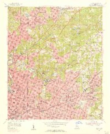
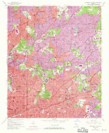
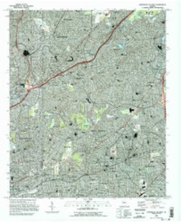
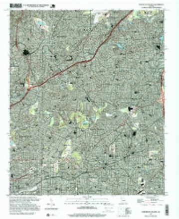
21 topographic sheets cover this place, the earliest surveyed in 1888 and the latest in 1997. It stands in the Chamblee-Doraville census division. It lies in ZIP code area 30319. The Survey maps it on the Northeast Atlanta quadrangle.
On record in North Atlanta
Buildings and businesses the archive holds for this place. Each opens its own page, with the source record it came from.
On the National Register within a mile 1 record
The National Register names another town for these. They stand within one mile of this settlement's coordinate.
 Oglethorpe University Historic Districtlisted 1994 · 0.7 miles away
Topographic sheets covering this place
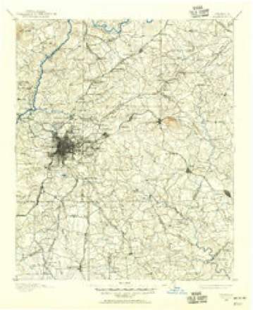
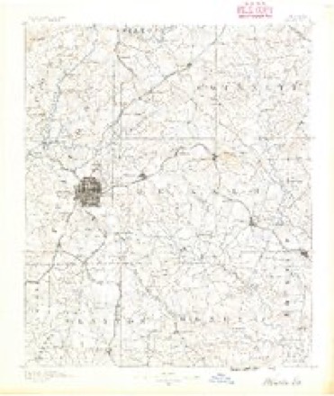
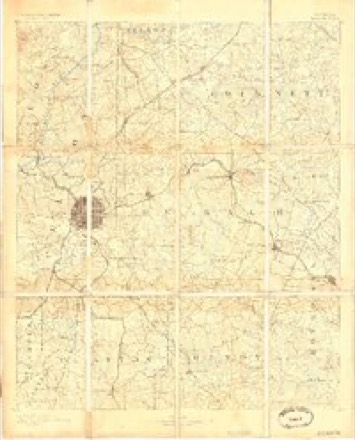
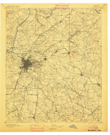
12 surveys from 21 printed sheetsMatched by testing this settlement's coordinate against the published boundary of every sheet in the United States Geological Survey's historical collection. Each opens the scanned sheet at the Survey.
- 1888 USGS Atlanta quadrangle1:125000
- 1890 USGS Atlanta quadrangle1:125000
- 1892 USGS Atlanta quadrangle1:125000
- 1895 USGS Atlanta quadrangle1:125000, 7 printings
- 1953 USGS Atlanta quadrangle1:250000, 2 printings
- 1954 USGS Decatur quadrangle1:24000
- 1954 USGS Northeast Atlanta quadrangle1:24000, 3 printings
- 1957 USGS Atlanta quadrangle1:250000
- 1958 USGS Atlanta quadrangle1:250000
- 1981 USGS Atlanta quadrangle1:100000
- 1993 USGS Northeast Atlanta quadrangle1:24000
- 1997 USGS Northeast Atlanta quadrangle1:24000




Fires near this place
6 since 1993Regional context, not property-specific evidence. The federal wildfire occurrence database lists 6 fires within 5 miles of North Atlanta between 1993 and 2016, burning about 19 acres in total. None started naturally. 3 were recorded as arson. Distance is straight-line from the map coordinates, so a fire counted here may appear on a neighbouring settlement's page as well.
| Reported cause | Fires |
|---|---|
| Arson/incendiarism | 3 |
| Equipment and vehicle use | 2 |
| Debris and open burning | 1 |
The most recent of them, most recent first, with the day each was reported and the service that recorded it.
| Date | Cause | Size | Reported by | Name on the report |
|---|---|---|---|---|
| 15 September 1993 | Equipment and vehicle use | under an acre | Georgia Forestry Commission | not named |
| 13 September 1993 | Arson/incendiarism | 1.9 acres | Georgia Forestry Commission | not named |
| 12 July 1993 | Arson/incendiarism | under an acre | Georgia Forestry Commission | not named |
| 9 March 1993 | Equipment and vehicle use | under an acre | Georgia Forestry Commission | not named |
| 2 October 2016 | Debris and open burning | 2.0 acres | Georgia Forestry Commission | FY2017-FULTON NORTH-001 |
| 14 October 1993 | Arson/incendiarism | 14 acres | Georgia Forestry Commission | not named |
Settlements close enough to share some of these fires:
Storms near this place
17 since 2000Regional context, not property-specific evidence. The National Weather Service names North Atlanta in 17 storm reports between 2000 and 2024: 7 thunderstorm wind, 7 flash flood, 2 hail, 1 flood. The reports record 1 injury. Each account below is quoted exactly as the forecast office filed it, from the NOAA Storm Events Database, and each date opens the federal record of that event.
| When | Event | Place named | Harm | What the report says |
|---|---|---|---|---|
| February 2020 | Thunderstorm Wind | North Atlanta | 1 hurt, $15,000 | The broadcast media reported a tree blown down onto I-285 westbound near Ashford-Dunwoody Road. The tree fell onto a car on I-285 with at least 1 injury reported. |
| May 2003 | Flash Flood | North Atlanta | $250,000 | Very heavy rain forced Peachtree Creek in North Atlanta to rise quickly to flood stage. The creek crested at 18.5 feet around 4 am EDT, 1.5 feet above the flood stage of 17.0 feet. Flooding of nearby roads, including Hanover West Drive, resulted. The lower levels of several apartments nearby were flooded as well as yards of homes near the creek. Nancy Creek, which flows into Peachtree Creek, was also in flood as a result of the heavy rain. |
| June 2013 | Thunderstorm Wind | North Atlanta | $70,000 | A National Weather Service storm survey team determined that the tree damaged caused in northern DeKalb County was a result of strong thunderstorm winds. Several trees were snapped or uprooted along Ashford Dunwoody Road Northeast, especially near Murphey Candler Park. Some trees were down on houses. Additional trees were snapped and uprooted off Lanier Drive Northeast, and a large tree was blown down across Peachtree Road Northeast not far from the Peachtree-Ashford Dunwoody intersection. |
| August 2020 | Thunderstorm Wind | North Atlanta | $7,000 | The DeKalb County Emergency Manager reported a few trees and power lines blown down across the northern portion of the county from Chamblee to Pine Lake. |
| June 2013 | Flash Flood | North Atlanta | $5,000 | A USGS stream gage on Nancy Creek at Johnson Ferry Road reached flood stage of 16 feet. The creek crest at 16.2 feet. This caused minor flooding in the woodlands along the creek and on the athletic fields of the Marist High School campus. Flooding of residential yards occurred also. |
| July 2000 | Thunderstorm Wind | North Atlanta | $5,000 | The public reported two trees down on Ashford Knoll Road in North Atlanta and a metal shed blown off its foundation a mile south of Cedar Grove in southwest DeKalb county. |
| July 2024 | Thunderstorm Wind | North Atlanta | $1,000 | A tree was reported down in the 3000 block of Ashford Dunwoody Road. |
| June 2015 | Thunderstorm Wind | North Atlanta | $1,000 | A tweet was received reporting one tree blown down at Ensign Court and Plantation Lane. |
| February 2024 | Thunderstorm Wind | North Atlanta | - | Weather station dw1905 Atlanta measured 71mph. |
| August 2023 | Flash Flood | North Atlanta | - | The Emergency Manager reported I-285 westbound in Dunwoody was impassable due to water on the road. Radar estimates indicate that between 2 and 2.5 inches of rain occurred over the area, resulting in the flash flooding. |
| April 2007 | Hail | North Atlanta | - | The public and an amateur radio operator reported penny to nickel-sized hail across the central portion of DeKalb county from just south of North Atlanta to Decatur and just southeast of Tucker. Pea-sized hail was observed near Emory University, but quarter-sized hail had been observed just a few minutes earlier in Buckhead just across the Fulton county line. |
| August 2006 | Flood | North Atlanta | - | Channel 11 News of Atlanta reported that heavy rain, on the order of two inches or so in a 1 1/2 hour period, resulted in flooding of the Cityscape Apartment Complex on North Avenue. Several parked cars were inundated with water and a few of the apartment complexes sustained water damage. The flooding was largely the result of poor drainage in the area during short-lived heavy rain events. |
| March 2005 | Flash Flood | North Atlanta | - | The official river gage at Peachtree Creek rose to 17.8 feet, which is 0.8 feet above the flood stage. Flooding results along Woodward Way and at the Bobby Jones Golf Course adjacent to the creek. Water also rises in the yards of several homes and apartments adjacent to the creek. |
| February 2005 | Hail | North Atlanta | - | The public reported nickel-sized hail on the northeast side of Atlanta. |
| July 2003 | Flash Flood | North Atlanta | - | Local Atlanta television news media reported that a number of roads were flooded across the western portion of the county. |
| May 2003 | Flash Flood | North Atlanta | - | The public reported flooding of several roads in the north part of the county. Briarcliff and Briarlake Roads were reported to be two to three feet under water and Cody Circle in Tucker had about five inches of water flowing over it. A small creek behind the Worthing Creek Apartments in Stone Mountain was out of its banks and flooding the apartment grounds. Official National Weather Service river gage readings showed that Peachtree Creek once again quickly rose above its flood stage of 17.0 feet as heavy rain continued in the area. This was the second time in a 12-hour period that flash flooding had occurred on the creek. Nancy Creek also rose quickly to flash flood stage. Nearby property and roadways were quickly flooded once again, but no significant damage to homes, businesses, or property were reported. |
| May 2003 | Flash Flood | North Atlanta | - | Official National Weather Service river gage readings showed that Peachtree Creek once again quickly rose above the flood stage of 17 feet in about a 2-hour period. The creek crested at 17.5 feet around 430 am EDT. As usual, flooding of nearby roads and property resulted. Flooding on Nancy Creek also occurs. The De Kalb Water Department also reported that Allgood Road was flooded out. |
Nearest settlements
The eight closest, with where each one stands in the county. Distances are straight-line, computed from the Geographic Names Information System coordinates.
| Map | Place | Distance | Sheets |
|---|---|---|---|
| Brookhaven | 0.5 miles | 21 | |
| Goodwin Crossing (historical) | 0.6 miles | 21 | |
| Humphries (historical) | 1.3 miles | 21 | |
| Plymouth Colony | 2.2 miles | 21 | |
| Northwoods | 2.7 miles | 21 | |
| Chamblee | 2.7 miles | 21 | |
| La Vista | 3.5 miles | 21 | |
| North Druid Hills | 3.6 miles | 21 |
Provenance
This settlement is recorded in the Geographic Names Information System as feature 332512. The sheet list is computed by point-in-boundary test against the United States Geological Survey's historical topographic inventory. Both are works of the United States government and carry no copyright under 17 U.S.C. 105.
Wildfire. Short, Karen C. 2022. Spatial wildfire occurrence data for the United States, 1992-2020 [FPA_FOD_20221014]. 6th Edition. Fort Collins, CO: Forest Service Research Data Archive. https://doi.org/10.2737/RDS-2013-0009.6 Collected with United States Government funding and usable without additional permissions or fees.
Storms. NOAA National Centers for Environmental Information, Storm Events Database https://www.ncei.noaa.gov/stormevents/ A work of the United States government, no copyright under 17 U.S.C. 105. Narratives are quoted verbatim from the National Weather Service report and are not edited or summarised.