 Block
Pittman, Georgia
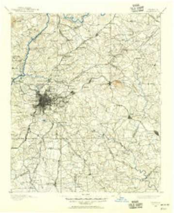
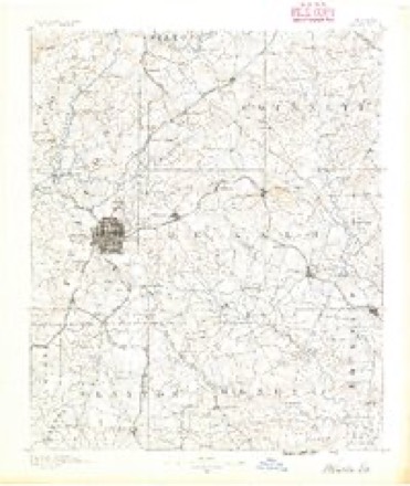
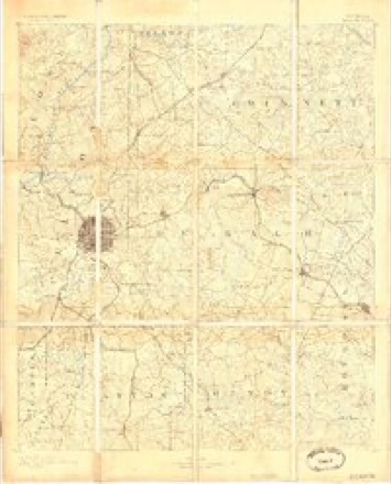
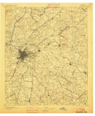
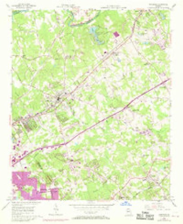
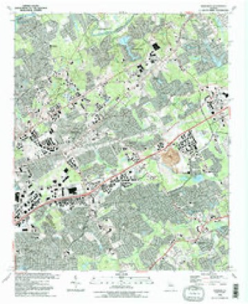
21 topographic sheets cover this place, the earliest surveyed in 1888 and the latest in 1992. It stands in the Norcross census division. It lies in ZIP code area 30096. It stands on Shetley Creek. The Survey maps it on the Norcross quadrangle.
Topographic sheets covering this place
10 surveys from 21 printed sheetsMatched by testing this settlement's coordinate against the published boundary of every sheet in the United States Geological Survey's historical collection. Each opens the scanned sheet at the Survey.
- 1888 USGS Atlanta quadrangle1:125000
- 1890 USGS Atlanta quadrangle1:125000
- 1892 USGS Atlanta quadrangle1:125000
- 1895 USGS Atlanta quadrangle1:125000, 7 printings
- 1953 USGS Atlanta quadrangle1:250000, 2 printings
- 1956 USGS Norcross quadrangle1:24000, 4 printings
- 1957 USGS Atlanta quadrangle1:250000
- 1958 USGS Atlanta quadrangle1:250000
- 1981 USGS Atlanta quadrangle1:100000
- 1992 USGS Norcross quadrangle1:24000, 2 printings




Fires near this place
60 since 1992Regional context, not property-specific evidence. The federal wildfire occurrence database lists 60 fires within 5 miles of Pittman between 1992 and 2017, burning about 185 acres in total. 1 started naturally. 32 were recorded as arson. Distance is straight-line from the map coordinates, so a fire counted here may appear on a neighbouring settlement's page as well.
| Reported cause | Fires |
|---|---|
| Arson/incendiarism | 32 |
| Debris and open burning | 15 |
| Recreation and ceremony | 5 |
| Misuse of fire by a minor | 3 |
| Missing data/not specified/undetermined | 2 |
| Natural | 1 |
| Equipment and vehicle use | 1 |
| Railroad operations and maintenance | 1 |
The most recent of them, most recent first, with the day each was reported and the service that recorded it.
| Date | Cause | Size | Reported by | Name on the report |
|---|---|---|---|---|
| 9 September 1993 | Arson/incendiarism | under an acre | Georgia Forestry Commission | not named |
| 9 September 1993 | Arson/incendiarism | under an acre | Georgia Forestry Commission | not named |
| 8 September 1993 | Arson/incendiarism | under an acre | Georgia Forestry Commission | not named |
| 7 September 1993 | Arson/incendiarism | under an acre | Georgia Forestry Commission | not named |
| 23 August 2000 | Debris and open burning | 2.0 acres | Chattahoochee River National Recreation Area | CHAT004217 |
| 21 August 1993 | Recreation and ceremony | 1.6 acres | Georgia Forestry Commission | not named |
| 2 August 1995 | Debris and open burning | under an acre | Georgia Forestry Commission | not named |
| 18 August 1995 | Arson/incendiarism | 7.2 acres | Georgia Forestry Commission | not named |
Settlements close enough to share some of these fires:
Mines and quarries near this place
4 within 5 milesRegional context, not property-specific evidence. The federal mineral resources record lists 4 workings within 5 miles of Pittman: 2 producers, 1 past producer, 1 prospect. 2 still produce. What was taken out: Stone, Crushed/Broken, Gold. Distance is straight-line from the map coordinates, so a quarry counted here may appear on a neighbouring settlement's page as well.
| Where | Site | Commodity | Status | Recorded |
|---|---|---|---|---|
| John Creek Placer | Gold | Past Producer | Stream Placer | |
| Mcclure | Gold | Prospect | Placer | |
| Norcross Quarry | Stone, Crushed/Broken | Producer | ||
| Norcross Shops | Stone, Crushed/Broken | Producer |
Storms near this place
12 since 2009Regional context, not property-specific evidence. The National Weather Service names Pittman in 12 storm reports between 2009 and 2025: 8 thunderstorm wind, 3 lightning, 1 hail. The reports record 1 injury. Each account below is quoted exactly as the forecast office filed it, from the NOAA Storm Events Database, and each date opens the federal record of that event.
| When | Event | Place named | Harm | What the report says |
|---|---|---|---|---|
| August 2009 | Lightning | Pittman | 1 hurt | Fox 5 TV of Atlanta relayed a report from the Gwinnett County Fire and Rescue Department of a lightning-related injury to a 15-year old female. The teenage female was injured by a nearby lightning strike in the 200 block of Club Lakes Parkway of Lawrenceville. The young female suffered numbness to her back and legs as a result of the lightning strike. She was transported to a local medical facility, then treated and released. |
| April 2013 | Hail | Pittman | $3,210,000 | Spotters, the public and broadcast media all reported golf ball sized hail from northeast of Norcross to Duluth. |
| August 2009 | Lightning | Pittman | $500,000 | WSB Television of Atlanta reported that lightning strikes resulted in at least three house fires in the Lawrenceville area. House fires were reported on Wildridge Drive in Duluth and San Marcos Drive and Stonebrook Court in Lawrenceville. Significant damage was reported to the attics of each of the affected homes. |
| July 2017 | Thunderstorm Wind | Pittman | $100,000 | The Gwinnett County Fire Department reported several trees blown down across the northwestern portion of the county. Trees fell on and damaged houses on West Lawrenceville Street, Milieo Place, Overlook Wood Way, and Whitfield Place Drive. No injuries were reported. |
| June 2017 | Thunderstorm Wind | Pittman | $30,000 | The Gwinnett County Emergency Manager reported numerous trees and a few power lines blown down northwest of Lawrenceville. Locations include North Fork Court where a tree fell on a house, Breckinridge Boulevard and Newpoint Place, Azalea Drive where a tree fell on a house, Weatherwood Trace where a tree fell on a house, Azalea Drive and Camp Perrin Road, Deer Run Road and The Circle, and between Village OaksLane and Gatewood Drive. No injuries were reported. |
| May 2018 | Thunderstorm Wind | Pittman | $15,000 | The Gwinnett County Emergency Manager reported trees and power lines blown down from around Buckingham Place Drive and Castlerock Drive in Berkeley Lake to around Elizabeth Way at 1st Avenue and on Lilburn Industrial Way in Lilburn. Minor damage was reported to a house on Buckingham Place Drive from a falling tree. No injuries were reported. |
| June 2016 | Lightning | Pittman | $15,000 | The Gwinnett County Emergency Manager reported a lightning-caused house fire on Brookhaven Run Circle in Duluth. |
| April 2020 | Thunderstorm Wind | Pittman | $4,000 | Multiple reports of trees down on either side of Pleasant Hill Road, just north of I-85. |
| April 2025 | Thunderstorm Wind | Pittman | $1,000 | Tree down in road on peachtree industrial road near s blakely lake rd. |
| February 2024 | Thunderstorm Wind | Pittman | $1,000 | Tree reported down on a house on Millerbrook Dr NW. |
| October 2014 | Thunderstorm Wind | Pittman | $250 | The Gwinnett County Emergency manager reported one tree down at the intersection of South Old Peachtree Road and South Berkley Lake Road. |
| January 2023 | Thunderstorm Wind | Pittman | - | Tree down on building near intersection of Buford Hwy and Roger St. |
Nearest settlements
The eight closest, with where each one stands in the county. Distances are straight-line, computed from the Geographic Names Information System coordinates.
| Map | Place | Distance | Sheets |
|---|---|---|---|
| Berkeley Manor | 0.4 miles | 21 | |
| Covered Bridge | 0.9 miles | 21 | |
| Beaverdam (historical) | 1.0 miles | 21 | |
| Berkeley Lake | 1.2 miles | 21 | |
| Howell Wood | 1.6 miles | 21 | |
| Carolina (historical) | 1.6 miles | 21 | |
| Hopkins Mill | 1.7 miles | 21 | |
| Adams Crossroads | 1.7 miles | 21 |
Provenance
This settlement is recorded in the Geographic Names Information System as feature 332699. The sheet list is computed by point-in-boundary test against the United States Geological Survey's historical topographic inventory. Both are works of the United States government and carry no copyright under 17 U.S.C. 105.
Wildfire. Short, Karen C. 2022. Spatial wildfire occurrence data for the United States, 1992-2020 [FPA_FOD_20221014]. 6th Edition. Fort Collins, CO: Forest Service Research Data Archive. https://doi.org/10.2737/RDS-2013-0009.6 Collected with United States Government funding and usable without additional permissions or fees.
Mines and quarries. USGS Mineral Resources Data System (MRDS) https://mrdata.usgs.gov/mrds/ A work of the United States government, no copyright under 17 U.S.C. 105.
Storms. NOAA National Centers for Environmental Information, Storm Events Database https://www.ncei.noaa.gov/stormevents/ A work of the United States government, no copyright under 17 U.S.C. 105. Narratives are quoted verbatim from the National Weather Service report and are not edited or summarised.