 Block
Red Rock, Georgia
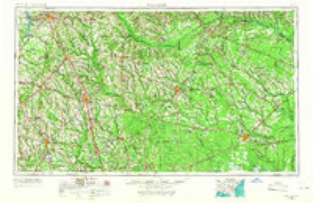
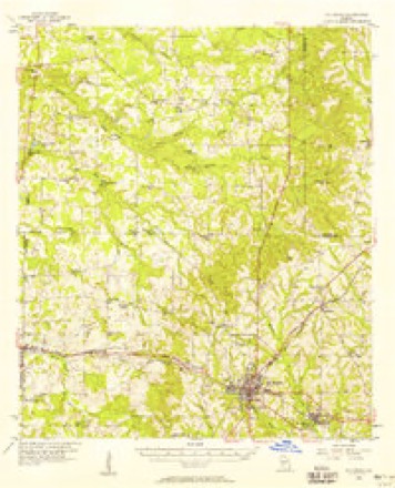
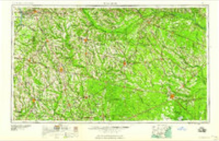
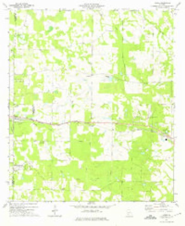
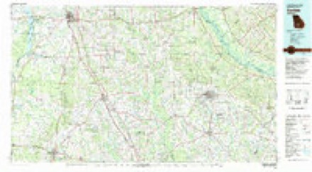
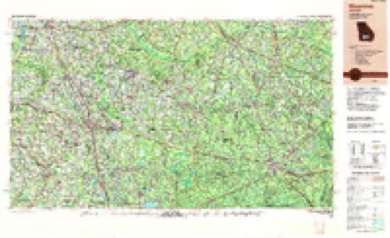
10 topographic sheets cover this place, the earliest surveyed in 1953 and the latest in 1988. It stands in the Sylvester census division. It lies in ZIP code area 31791. The Survey maps it on the Acree quadrangle.
Topographic sheets covering this place
6 surveys from 10 printed sheetsMatched by testing this settlement's coordinate against the published boundary of every sheet in the United States Geological Survey's historical collection. Each opens the scanned sheet at the Survey.
- 1953 USGS Waycross quadrangle1:250000, 2 printings
- 1956 USGS Sylvester quadrangle1:62500, 2 printings
- 1958 USGS Waycross quadrangle1:250000, 2 printings
- 1973 USGS Acree quadrangle1:24000, 2 printings
- 1981 USGS Cordele quadrangle1:100000
- 1988 USGS Waycross quadrangle1:250000
Fires near this place
415 since 1992Regional context, not property-specific evidence. The federal wildfire occurrence database lists 415 fires within 5 miles of Red Rock between 1992 and 2020, burning about 2,168 acres in total. 10 started naturally. 76 were recorded as arson. Distance is straight-line from the map coordinates, so a fire counted here may appear on a neighbouring settlement's page as well.
| Reported cause | Fires |
|---|---|
| Debris and open burning | 291 |
| Arson/incendiarism | 76 |
| Equipment and vehicle use | 15 |
| Natural | 10 |
| Missing data/not specified/undetermined | 8 |
| Recreation and ceremony | 8 |
| Misuse of fire by a minor | 5 |
| Smoking | 2 |
The most recent of them, most recent first, with the day each was reported and the service that recorded it.
| Date | Cause | Size | Reported by | Name on the report |
|---|---|---|---|---|
| 9 September 2011 | Debris and open burning | under an acre | Georgia Forestry Commission | FY2012-WORTH-005 |
| 8 September 2016 | Debris and open burning | under an acre | Georgia Forestry Commission | FY2017-WORTH-003 |
| 7 September 1996 | Debris and open burning | under an acre | Georgia Forestry Commission | not named |
| 5 September 2004 | Debris and open burning | under an acre | Georgia Forestry Commission | not named |
| 4 September 1995 | Arson/incendiarism | under an acre | Georgia Forestry Commission | not named |
| 4 September 1995 | Arson/incendiarism | under an acre | Georgia Forestry Commission | not named |
| 29 September 1997 | Equipment and vehicle use | under an acre | Georgia Forestry Commission | not named |
| 29 September 1995 | Debris and open burning | under an acre | Georgia Forestry Commission | not named |
Settlements close enough to share some of these fires:
Storms near this place
33 since 1996Regional context, not property-specific evidence. The National Weather Service names Red Rock in 33 storm reports between 1996 and 2026: 21 thunderstorm wind, 6 flood, 3 tornado, 2 hail. The reports record 31 injuries. Each account below is quoted exactly as the forecast office filed it, from the NOAA Storm Events Database, and each date opens the federal record of that event.
| When | Event | Place named | Harm | What the report says |
|---|---|---|---|---|
| January 2017 | Tornado (EF3) | Red Rock | 31 hurt, $5,000,000 | The EF3 tornado from Dougherty county continued all the way across Worth county into Turner county as an EF3 tornado with max winds estimated near 150 mph. In Worth County, it caused extensive damage to homes along Jewel Crowe Road. This was consistent with EF3 damage. Damage to homes and outbuildings consistent with EF2 damage was observed along Camp Osborn Road. A concrete block church on Zion Church Road was completely destroyed, justifying an EF3 rating at that point. Damage cost was estimated. |
| March 1996 | Tornado (F2) | Red Rock | $6,000,000 | no account filed |
| January 2017 | Tornado (EF1) | Red Rock | $500,000 | An EF1 tornado touched down just inside the Dougherty County line along Cordele Road before moving east northeast into Worth County. The tornado lifted just east of Highway 313. A strongly convergent signature was noted in the tree damage which supports the designation as a tornado. There was significant damage to the Camp Osborn area in far western Worth county where a group of boy scouts were staying overnight. Although thousands of trees were blown down with several buildings in the forest destroyed due to falling trees, the boy scouts remained safe due to receiving the warning with sufficient lead time to take shelter in a safer building. Max winds were estimated around 105 mph. Damage cost was estimated. |
| August 2012 | Thunderstorm Wind | Red Rock | $20,000 | WALB reported that a large pecan tree crashed through the roof of a home on Doles Road and into the living room and master bedroom closet. Farther down the road, another tree fell on a truck. Monetary damage was estimated. |
| March 2026 | Thunderstorm Wind | Red Rock | $10,000 | A tree was down on a home on Birch Rd. |
| April 2020 | Thunderstorm Wind | Red Rock | $10,000 | Numerous trees were blown down in the 3800 block of Highway 82 east of Sylvester. One home had roof damage in the area. |
| June 2010 | Thunderstorm Wind | Red Rock | $10,000 | Trees were blown down and a roof was blown off a trailer. The monetary damage figure provided is a rough estimate. |
| June 2023 | Thunderstorm Wind | Red Rock | $2,000 | A power line was blown down on Pearson Road near Woodcrest Road. |
| August 2018 | Thunderstorm Wind | Red Rock | $1,000 | A power line was blown down near Dogwood Lane and Wynn Drive. |
| March 2026 | Thunderstorm Wind | Red Rock | - | Trees were down and blocking Red Rock Rd. |
| March 2026 | Thunderstorm Wind | Red Rock | - | Trees were down and blocking Woodcrest Rd. |
| June 2025 | Thunderstorm Wind | Red Rock | - | A tree was down along Woodcrest Road. |
| August 2022 | Flash Flood | Red Rock | - | Water was reported over the roadway near Highway 300 and Camp Osborn Road. |
| March 2020 | Flood | Red Rock | - | Willow Road was closed to non-resident traffic due to flooding. |
| March 2020 | Flood | Red Rock | - | The dirt portion of Porters Corner Road was closed due to flooding. |
| March 2020 | Flood | Red Rock | - | Duran Road was completely underwater. |
| April 2020 | Thunderstorm Wind | Red Rock | - | Trees were blocking the road at Jewel Crowe Road and Blue Springs Road. |
| April 2017 | Thunderstorm Wind | Red Rock | - | Trees were blown down in the Woodcrest area. |
| April 2017 | Thunderstorm Wind | Red Rock | - | Trees were blown down along Mossy Oaks Drive. |
| January 2017 | Thunderstorm Wind | Red Rock | - | Trees were blown down near 200 Henry Road. |
| January 2017 | Thunderstorm Wind | Red Rock | - | Trees were blown down on Hillhouse Road. |
| January 2017 | Thunderstorm Wind | Red Rock | - | Trees were blown down onto Harris Road. |
| January 2017 | Thunderstorm Wind | Red Rock | - | Trees were blown down on Pearson Road at Woodcrest Road. |
| January 2017 | Thunderstorm Wind | Red Rock | - | Trees were blown down near Worthy and Rich Roads. |
| January 2017 | Thunderstorm Wind | Red Rock | - | Trees were blown down on Fowler Road. |
| January 2017 | Thunderstorm Wind | Red Rock | - | Trees were blown down on Crowe Lane. |
| January 2017 | Thunderstorm Wind | Red Rock | - | Several trees were blown down near Porters Corner Road. |
| December 2016 | Flood | Red Rock | - | Water was reported over Willow and Birch Roads due to a long duration of moderate to heavy rainfall. |
| December 2016 | Flood | Red Rock | - | Water was reported over South County Line Road south of Thomas Road due to a long duration of moderate to heavy rainfall. |
| June 2013 | Flood | Red Rock | - | Some localized flooding was reported by the Worth County E-911 facebook page near Highway 300 and Camp Osborne Road. |
| June 2011 | Hail | Red Rock | - | Pea to nickel sized hail covered some roads. |
| August 2008 | Thunderstorm Wind | Red Rock | - | A few trees were down on Mossy Oak Lane. |
| August 2000 | Hail | Red Rock | - | Dime size hail. Reported by a SKYWARN storm spotter. |
Nearest settlements
The eight closest, with where each one stands in the county. Distances are straight-line, computed from the Geographic Names Information System coordinates.
| Map | Place | Distance | Sheets |
|---|---|---|---|
| Mossy Oaks | 2.6 miles | 10 | |
| Artesia (historical) | 2.7 miles | 10 | |
| Willingham (historical) | 3.0 miles | 10 | |
| Camp Sherwood | 3.9 miles | 9 | |
| San Barnard (historical) | 4.2 miles | 9 | |
| Thomas Acres | 4.3 miles | 10 | |
| Gammage | 4.3 miles | 10 | |
| Isabella | 4.5 miles | 9 |
Provenance
This settlement is recorded in the Geographic Names Information System as feature 321409. The sheet list is computed by point-in-boundary test against the United States Geological Survey's historical topographic inventory. Both are works of the United States government and carry no copyright under 17 U.S.C. 105.
Wildfire. Short, Karen C. 2022. Spatial wildfire occurrence data for the United States, 1992-2020 [FPA_FOD_20221014]. 6th Edition. Fort Collins, CO: Forest Service Research Data Archive. https://doi.org/10.2737/RDS-2013-0009.6 Collected with United States Government funding and usable without additional permissions or fees.
Storms. NOAA National Centers for Environmental Information, Storm Events Database https://www.ncei.noaa.gov/stormevents/ A work of the United States government, no copyright under 17 U.S.C. 105. Narratives are quoted verbatim from the National Weather Service report and are not edited or summarised.