 Block
Rico, Georgia
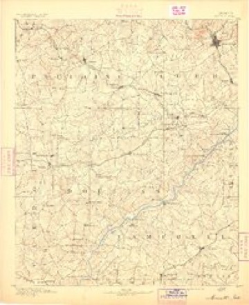
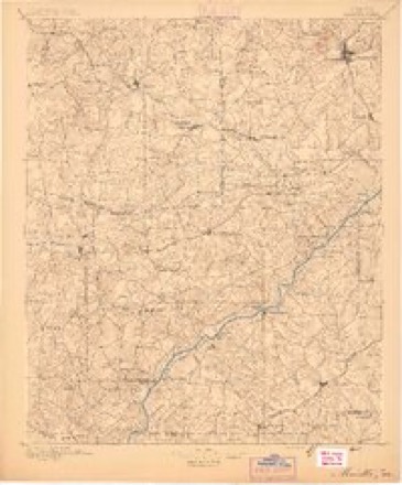
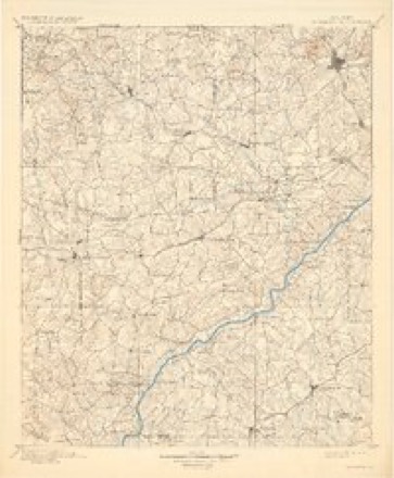
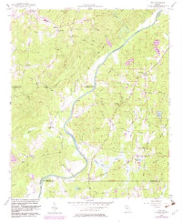
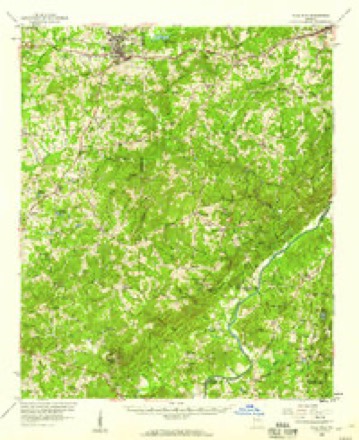
17 topographic sheets cover this place, the earliest surveyed in 1891 and the latest in 1981. It stands in the Palmetto census division. It lies in ZIP code area 30268. The Survey maps it on the Rico quadrangle.
Topographic sheets covering this place
10 surveys from 17 printed sheetsMatched by testing this settlement's coordinate against the published boundary of every sheet in the United States Geological Survey's historical collection. Each opens the scanned sheet at the Survey.
- 1891 USGS Marietta quadrangle1:125000
- 1895 USGS Marietta quadrangle1:125000
- 1897 USGS Marietta quadrangle1:125000
- 1901 USGS Marietta quadrangle1:125000, 4 printings
- 1953 USGS Atlanta quadrangle1:250000, 2 printings
- 1957 USGS Atlanta quadrangle1:250000
- 1958 USGS Atlanta quadrangle1:250000
- 1958 USGS Rico quadrangle1:24000, 3 printings
- 1958 USGS Villa Rica quadrangle1:62500, 2 printings
- 1981 USGS Atlanta quadrangle1:100000





Fires near this place
70 since 1992Regional context, not property-specific evidence. The federal wildfire occurrence database lists 70 fires within 5 miles of Rico between 1992 and 2016, burning about 602 acres in total. 1 started naturally. 14 were recorded as arson. Distance is straight-line from the map coordinates, so a fire counted here may appear on a neighbouring settlement's page as well.
| Reported cause | Fires |
|---|---|
| Debris and open burning | 41 |
| Arson/incendiarism | 14 |
| Equipment and vehicle use | 4 |
| Recreation and ceremony | 3 |
| Misuse of fire by a minor | 3 |
| Missing data/not specified/undetermined | 3 |
| Natural | 1 |
| Smoking | 1 |
The most recent of them, most recent first, with the day each was reported and the service that recorded it.
| Date | Cause | Size | Reported by | Name on the report |
|---|---|---|---|---|
| 23 September 2012 | Debris and open burning | 1.5 acres | Georgia Forestry Commission | FY2013-FULTON SOUTH-003 |
| 10 September 2005 | Arson/incendiarism | 5.0 acres | Georgia Forestry Commission | not named |
| 31 August 1993 | Debris and open burning | 2.6 acres | Georgia Forestry Commission | not named |
| 14 August 1995 | Misuse of fire by a minor | under an acre | Georgia Forestry Commission | not named |
| 15 July 1995 | Arson/incendiarism | 4.0 acres | Georgia Forestry Commission | not named |
| 6 June 1993 | Recreation and ceremony | 2.0 acres | Georgia Forestry Commission | not named |
| 3 June 2007 | Debris and open burning | 3.8 acres | Georgia Forestry Commission | not named |
| 26 June 2007 | Equipment and vehicle use | 15 acres | Georgia Forestry Commission | not named |
Settlements close enough to share some of these fires:
Mines and quarries near this place
2 within 5 milesRegional context, not property-specific evidence. The federal mineral resources record lists 2 workings within 5 miles of Rico: 1 past producer, 1 producer. 1 still produces. What was taken out: Gold, Sand and Gravel, Construction. Distance is straight-line from the map coordinates, so a quarry counted here may appear on a neighbouring settlement's page as well.
| Where | Site | Commodity | Status | Recorded |
|---|---|---|---|---|
| Circle P Ranch Sand Pit | Sand and Gravel, Construction | Producer | ||
| No Name | Gold | Past Producer | Vein |
Storms near this place
11 since 2008Regional context, not property-specific evidence. The National Weather Service names Rico in 11 storm reports between 2008 and 2025: 7 thunderstorm wind, 2 flood, 1 flash flood, 1 tornado. The reports record 1 injury. Each account below is quoted exactly as the forecast office filed it, from the NOAA Storm Events Database, and each date opens the federal record of that event.
| When | Event | Place named | Harm | What the report says |
|---|---|---|---|---|
| March 2018 | Thunderstorm Wind | Rico | 1 hurt, $100,000 | Numerous reports of trees and power lines blown down were received from the Fulton County Emergency Manager, 911 center and the local broadcast media. One large tree was blown down onto power lines and a vehicle on Mary George Avenue NW and an on-duty Atlanta Police Department officer was injured when another large tree was blown down onto his patrol car in the 2000 block of Northside Drive NW. About a dozen trees were blown down near the intersection of South Fulton Parkway and Cochran Mill Road and numerous trees and power lines were blown down around the Campbellton Road and Ridge Road. |
| September 2009 | Flood | Rico | $48,000,000 | Record and in some cases catastrophic, flooding continued to expand across the northern and western portions of the Atlanta metropolitan area as renewed rounds of showers and thunderstorms with very heavy rain tracked repeatedly over the same areas throughout the day. Portions of hundreds of roads in the county were closed from flooding and washed out bridges and/or culverts. Even the Downtown Connector, Interstate-75/85, was closed for several hours because of flooding causing major traffic backups in the area. Hundreds of homes, apartments, and businesses sustained significant flood damage. Record flooding was occurring on Peachtree Creek and Nancy Creek in the north part of Atlanta. A significant water treatment plant for the city of Atlanta was destroyed by flooding, with damage to this plant alone estimated to be $57,000,000. Monetary damage during this time frame across Fulton county was estimated to be at least $48 million. |
| September 2009 | Flood | Rico | $21,750,000 | Fulton county emergency management personnel and USGS stream gages confirmed that major to record flooding continued across much of the county. Hundreds of homes, apartments, businesses, and roads sustained damages from flooding. A number of culverts and/or bridges were washed out and several roads were closed. Flood waters began to recede after 830 am EDT on the 22nd, however many locations, especially along the Chattahoochee River and the western border of the county, remained in moderate to major flood through 715 am EDT on the 23rd. Monetary damage from flooding continued to mount, with damage nearing $22 million during this time period. |
| April 2017 | Tornado (EF1) | Rico | $100,000 | A National Weather Service survey team found that an EF-1 tornado, with maximum wind speeds of 90 MPH and a maximum path width of 150 yards, touched down along Campbellton Redwine Road in a rural part of southwest Fulton County. A few trees were snapped onto the roadway and in an adjacent field. The tornado moved northeast crossing Upper Wooten Road and Rico Road snapping and uprooting trees before moving through a heavily wooded area north of Upper Wooten Road into an area of bike trails. Hundreds of trees were blown down across these bike trails. The tornado then crossed into Cochran Mill Park snapping a few trees and crossed Cochran Mill Road before lifting just south of Rivertown Road. [04/03/17: Tornado #2, County #1/1, EF-1, Fulton, 2017:034]. |
| September 2019 | Thunderstorm Wind | Rico | $12,000 | A retired National Weather Service employee reported around a dozen large trees blown down along the trails in Cochran Mill Park. |
| February 2019 | Thunderstorm Wind | Rico | $6,000 | An off-duty National Weather Service employee reported a few trees blown down along Upper Wooten Road near the intersection with Cochran Mill Road and just outside of Cochran Mill Park. |
| April 2025 | Thunderstorm Wind | Rico | $5,000 | Report of two trees down and damage to outbuildings in chattahoochee hills, north of hwy 70. |
| April 2025 | Thunderstorm Wind | Rico | $2,000 | Report of two trees down in chattahoochee hills, south of hwy 70. |
| August 2023 | Thunderstorm Wind | Rico | $1,000 | Emergency Manager reported a tree down along Vernon Grove Rd and Rico Rd in Chattahoochee Hills. |
| August 2023 | Thunderstorm Wind | Rico | $1,000 | Emergency Manager reported a tree down along Campbellton Redwine Rd and S Fulton Pkwy. |
| July 2008 | Flash Flood | Rico | $1,000 | A survey conducted by the hydrologist at the National Weather Service Forecast Office in Peachtree City, Georgia and information obtained from the Fulton County Emergency Management Director concluded that flash flooding had occurred along and near Bear Creek at Campbellton-Redwine Road in south Fulton county, roughly seven miles northwest of Palmetto. This was the result of persistent thunderstorms that trained over the area during the evening hours. Rainfall of 3 to 5 inches fell across this area between 6 pm and midnight with two rounds of significant thunderstorms during this period. Significant water and mud erosion was observed along Campbellton-Redwine Road roughly 0.5 mile northwest of Bear Creek and another area of erosion noted along Woodruff Road approximately 0.2 mile west of Bear Creek. Bear Creek was estimated to have risen around two feet above bankful during this event. |
Nearest settlements
The eight closest, with where each one stands in the county. Distances are straight-line, computed from the Geographic Names Information System coordinates.
| Map | Place | Distance | Sheets |
|---|---|---|---|
| Chattahoochee Hills | 2.2 miles | 17 | |
| Rivertown | 2.9 miles | 16 | |
| Cackle Corner | 3.1 miles | 16 | |
| Goodes | 4.0 miles | 16 | |
| Mecca (historical) | 5.0 miles | 17 | |
| Redwine | 5.3 miles | 17 | |
| Cedar Grove | 5.3 miles | 17 | |
| Carlton Woods | 6.1 miles | 16 |
Provenance
This settlement is recorded in the Geographic Names Information System as feature 321590. The sheet list is computed by point-in-boundary test against the United States Geological Survey's historical topographic inventory. Both are works of the United States government and carry no copyright under 17 U.S.C. 105.
Wildfire. Short, Karen C. 2022. Spatial wildfire occurrence data for the United States, 1992-2020 [FPA_FOD_20221014]. 6th Edition. Fort Collins, CO: Forest Service Research Data Archive. https://doi.org/10.2737/RDS-2013-0009.6 Collected with United States Government funding and usable without additional permissions or fees.
Mines and quarries. USGS Mineral Resources Data System (MRDS) https://mrdata.usgs.gov/mrds/ A work of the United States government, no copyright under 17 U.S.C. 105.
Storms. NOAA National Centers for Environmental Information, Storm Events Database https://www.ncei.noaa.gov/stormevents/ A work of the United States government, no copyright under 17 U.S.C. 105. Narratives are quoted verbatim from the National Weather Service report and are not edited or summarised.