 Block
Rosemont Park, Georgia
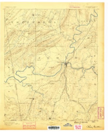
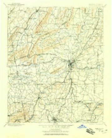
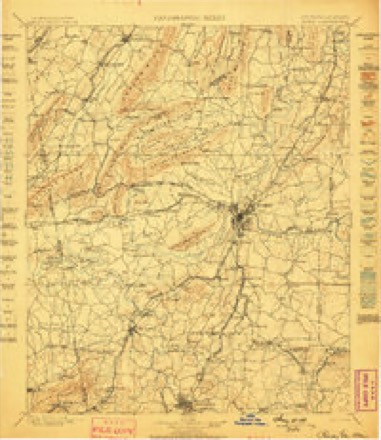
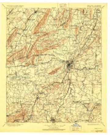
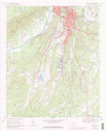
18 topographic sheets cover this place, the earliest surveyed in 1886 and the latest in 1981. It stands in the Rome census division. It lies in ZIP code area 30161. It lies near Saddle Mountain. The Survey maps it on the Rome South quadrangle.
Topographic sheets covering this place
10 surveys from 18 printed sheetsMatched by testing this settlement's coordinate against the published boundary of every sheet in the United States Geological Survey's historical collection. Each opens the scanned sheet at the Survey.
- 1886 USGS Rome quadrangle1:125000
- 1898 USGS Rome quadrangle1:125000
- 1899 USGS Rome quadrangle1:125000
- 1904 USGS Rome quadrangle1:125000, 4 printings
- 1955 USGS Rome quadrangle1:250000
- 1958 USGS Rome quadrangle1:250000, 3 printings
- 1961 USGS Rome quadrangle1:250000
- 1963 USGS Rome quadrangle1:250000
- 1968 USGS Rome South quadrangle1:24000, 3 printings
- 1981 USGS Rome quadrangle1:100000, 2 printings




Fires near this place
457 since 1992Regional context, not property-specific evidence. The federal wildfire occurrence database lists 457 fires within 5 miles of Rosemont Park between 1992 and 2019, burning about 1,908 acres in total. 7 started naturally. 154 were recorded as arson. Distance is straight-line from the map coordinates, so a fire counted here may appear on a neighbouring settlement's page as well.
| Reported cause | Fires |
|---|---|
| Debris and open burning | 191 |
| Arson/incendiarism | 154 |
| Equipment and vehicle use | 32 |
| Misuse of fire by a minor | 27 |
| Missing data/not specified/undetermined | 18 |
| Recreation and ceremony | 16 |
| Smoking | 12 |
| Natural | 7 |
The most recent of them, most recent first, with the day each was reported and the service that recorded it.
| Date | Cause | Size | Reported by | Name on the report |
|---|---|---|---|---|
| 7 September 2019 | Debris and open burning | 1.2 acres | Georgia Forestry Commission | FY2020FLOYD003 |
| 5 September 2010 | Arson/incendiarism | under an acre | Georgia Forestry Commission | FY2011-FLOYD-018 |
| 4 September 2007 | Smoking | under an acre | Georgia Forestry Commission | not named |
| 4 September 2007 | Misuse of fire by a minor | under an acre | Georgia Forestry Commission | not named |
| 3 September 2011 | Misuse of fire by a minor | under an acre | Georgia Forestry Commission | FY2012-FLOYD-016 |
| 29 September 2007 | Equipment and vehicle use | under an acre | Georgia Forestry Commission | not named |
| 29 September 1993 | Debris and open burning | 8.9 acres | Georgia Forestry Commission | not named |
| 27 September 2014 | Debris and open burning | 1.8 acres | Georgia Forestry Commission | FY2015-FLOYD-005 |
Settlements close enough to share some of these fires:
Mines and quarries near this place
10 of 16 shownRegional context, not property-specific evidence. The federal mineral resources record lists 16 workings within 5 miles of Rosemont Park: 9 past producers, 6 prospects, 1 producer. 1 still produces. What was taken out: Aluminum, Manganese, Stone, Crushed/Broken, Iron. Distance is straight-line from the map coordinates, so a quarry counted here may appear on a neighbouring settlement's page as well.
| Where | Site | Commodity | Status | Recorded |
|---|---|---|---|---|
| Rome City Shale Quarry | Clay | Past Producer | ||
| County Quarry | Stone, Crushed/Broken | Past Producer | ||
| Floyd County Quarry | Stone, Crushed/Broken | Producer | ||
| Johnson Property | Iron | Past Producer | ||
| Washington Bank | Iron | Past Producer | Residual | |
| Couper Property | Manganese | Past Producer | Residual | |
| Hillyer Property | Manganese | Prospect | 1919 | |
| Lot 44 | Manganese | Past Producer | 1901 | |
| Pattillo Property | Manganese | Prospect | 1919 | |
| Cochran Mine | Aluminum | Past Producer |
Storms near this place
8 since 2010Regional context, not property-specific evidence. The National Weather Service names Rosemont Park in 8 storm reports between 2010 and 2023: 7 thunderstorm wind, 1 flash flood. No death or injury is recorded in these reports. Each account below is quoted exactly as the forecast office filed it, from the NOAA Storm Events Database, and each date opens the federal record of that event.
| When | Event | Place named | Harm | What the report says |
|---|---|---|---|---|
| June 2018 | Thunderstorm Wind | Rosemont Park | $10,000 | The Floyd County Emergency Manager power lines blown down in southern portions of Rome from Cedar Avenue SW to East 18th Street which caused a structure fire. |
| April 2018 | Thunderstorm Wind | Rosemont Park | $3,000 | The Floyd County Emergency Manager reported a couple of trees blown down in the Rome area, including along Blacks Bluff Road and along Vaughn Road. |
| February 2014 | Thunderstorm Wind | Rosemont Park | $2,500 | The Floyd County 911 Center reported that several trees and power lines were blown down in and around the Rome area. |
| July 2010 | Thunderstorm Wind | Rosemont Park | $2,000 | The Floyd County 911 Center reported that three trees were down in Rome, one tree was down in Lindale, and another tree was down in Cave Spring during a 30-minute time frame from 500 pm to 530 pm EDT. Two trees were down at the intersection of Horseleg and River Streets and another tree was down on Crane Street in Rome. |
| June 2022 | Thunderstorm Wind | Rosemont Park | $1,000 | A tree was downed onto power lines on East 19th St. |
| April 2023 | Thunderstorm Wind | Rosemont Park | - | Report of tree down on convenience store at intersection of Maple Ave and E 20th St. |
| April 2023 | Thunderstorm Wind | Rosemont Park | - | Reports of multiple trees, limbs, and powerlines down across roadways, homes, and businesses west of Hwy 27 and east of Cave Spring Rd in Rome GA. |
| May 2017 | Flash Flood | Rosemont Park | - | Emergency Management reported several inches of water flowing over East 18th Street, near Crane Street. Radar-estimated rainfall amounts of 2.5 to 4.0 inches occurred over the local area. |
Nearest settlements
The eight closest, with where each one stands in the county. Distances are straight-line, computed from the Geographic Names Information System coordinates.
| Map | Place | Distance | Sheets |
|---|---|---|---|
| Saddle Mountain | 0.3 miles | 18 | |
| New Rome | 0.4 miles | 18 | |
| Atlanta Junction | 0.7 miles | 18 | |
| Gaither Park | 0.8 miles | 18 | |
| Forrest Heights | 0.9 miles | 18 | |
| Twickenham | 1.1 miles | 18 | |
| Woodpin Estates | 1.3 miles | 18 | |
| John Graham Homes | 1.6 miles | 18 |
Provenance
This settlement is recorded in the Geographic Names Information System as feature 353860. The sheet list is computed by point-in-boundary test against the United States Geological Survey's historical topographic inventory. Both are works of the United States government and carry no copyright under 17 U.S.C. 105.
Wildfire. Short, Karen C. 2022. Spatial wildfire occurrence data for the United States, 1992-2020 [FPA_FOD_20221014]. 6th Edition. Fort Collins, CO: Forest Service Research Data Archive. https://doi.org/10.2737/RDS-2013-0009.6 Collected with United States Government funding and usable without additional permissions or fees.
Mines and quarries. USGS Mineral Resources Data System (MRDS) https://mrdata.usgs.gov/mrds/ A work of the United States government, no copyright under 17 U.S.C. 105.
Storms. NOAA National Centers for Environmental Information, Storm Events Database https://www.ncei.noaa.gov/stormevents/ A work of the United States government, no copyright under 17 U.S.C. 105. Narratives are quoted verbatim from the National Weather Service report and are not edited or summarised.