 Block
Stilson, Georgia
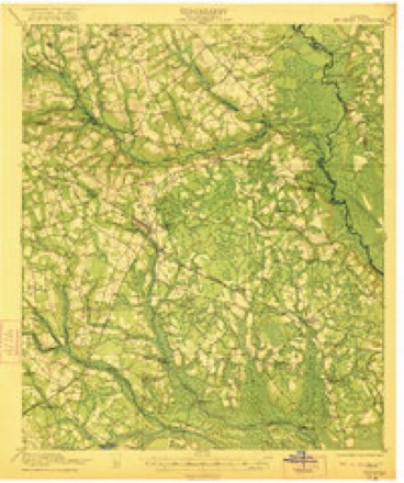
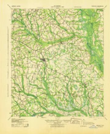
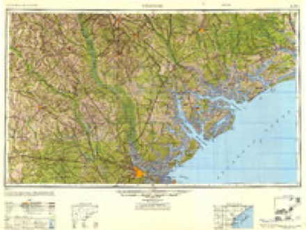
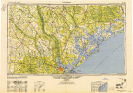
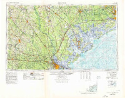
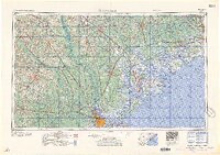
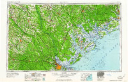
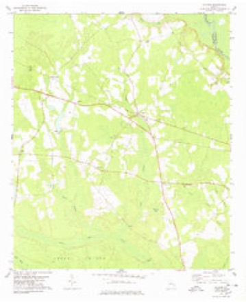
14 topographic sheets cover this place, the earliest surveyed in 1921 and the latest in 1981. It stands in the Nevils-Stilson census division. It lies in ZIP code area 30415. The Survey maps it on the Stilson quadrangle.
Topographic sheets covering this place
9 surveys from 14 printed sheetsMatched by testing this settlement's coordinate against the published boundary of every sheet in the United States Geological Survey's historical collection. Each opens the scanned sheet at the Survey.
- 1921 USGS Brooklet quadrangle1:62500, 2 printings
- 1943 USGS Brooklet quadrangle1:62500
- 1947 USGS Savannah quadrangle1:250000
- 1948 USGS Savannah quadrangle1:250000
- 1957 USGS Savannah quadrangle1:250000, 4 printings
- 1960 USGS Savannah quadrangle1:250000
- 1961 USGS Savannah quadrangle1:250000, 2 printings
- 1978 USGS Stilson quadrangle1:24000
- 1981 USGS Savannah quadrangle1:100000
Fires near this place
156 since 1992Regional context, not property-specific evidence. The federal wildfire occurrence database lists 156 fires within 5 miles of Stilson between 1992 and 2020, burning about 852 acres in total. 18 started naturally. 26 were recorded as arson. Distance is straight-line from the map coordinates, so a fire counted here may appear on a neighbouring settlement's page as well.
| Reported cause | Fires |
|---|---|
| Debris and open burning | 92 |
| Arson/incendiarism | 26 |
| Natural | 18 |
| Missing data/not specified/undetermined | 7 |
| Equipment and vehicle use | 5 |
| Recreation and ceremony | 4 |
| Misuse of fire by a minor | 3 |
| Smoking | 1 |
The most recent of them, most recent first, with the day each was reported and the service that recorded it.
| Date | Cause | Size | Reported by | Name on the report |
|---|---|---|---|---|
| 5 September 1997 | Arson/incendiarism | under an acre | Georgia Forestry Commission | not named |
| 30 September 1993 | Arson/incendiarism | 7.1 acres | Georgia Forestry Commission | not named |
| 27 September 2019 | Debris and open burning | under an acre | Georgia Forestry Commission | FY2020BULLOCH014 |
| 26 September 2006 | Debris and open burning | under an acre | Georgia Forestry Commission | not named |
| 25 September 2002 | Arson/incendiarism | 1.2 acres | Georgia Forestry Commission | FY2003-BULLOCH-009 |
| 21 September 2019 | Debris and open burning | under an acre | Georgia Forestry Commission | FY2020BULLOCH010 |
| 2 September 1993 | Debris and open burning | 3.9 acres | Georgia Forestry Commission | not named |
| 19 September 2019 | Debris and open burning | under an acre | Georgia Forestry Commission | FY2020BULLOCH007 |
Settlements close enough to share some of these fires:
Storms near this place
31 since 1996Regional context, not property-specific evidence. The National Weather Service names Stilson in 31 storm reports between 1996 and 2025: 21 thunderstorm wind, 8 hail, 1 flash flood, 1 tornado. The reports record 8 injuries. Each account below is quoted exactly as the forecast office filed it, from the NOAA Storm Events Database, and each date opens the federal record of that event.
| When | Event | Place named | Harm | What the report says |
|---|---|---|---|---|
| February 2017 | Tornado (EF2) | Stilson | 7 hurt | A National Weather Service storm survey team confirmed a tornado that tracked from southeastern Bulloch County to southwest Effingham County in Georgia on 02/09/2017. The tornado tracked east-southeast approximately 9 miles southeast of Brooklet, GA to Pineora, GA. ||The tornado began near Stillson Leefield Road, in Bulloch County, GA. Most of the damage within the first few miles of the event was due to many snapped and uprooted trees. ||The most significant damage occurred near the center of the path, in an area just west of South Old River Road to near Terrell Road, in Bulloch County, GA. There were several mobile homes along this portion of the path that were either completely destroyed, or severely damaged. The extent of damage to the mobile homes was the reason for the high end EF2 rating with estimated maximum wind speeds up to 130 mph. Two mobile homes just north of Little Hagan Road were completely destroyed, being flipped and tossed 30 to 40 feet from their foundations. One of the mobile homes in this area was not occupied, but the other one had five people inside, plus pets. All five were injured, one seriously, with broken bones in their neck. Two pets in the same mobile home survived, but one died from its injuries. There was also a car pushed 20 to 30 feet and a large metal trucking container, weighing approximately 9,000 pounds, pushed about 50 feet. ||Continuing about 200 yards southeast along the path, a single family home sustained moderate damage, mainly from projectiles and debris hitting it from the mobile homes upstream. A large carport/overhang was completely torn from the home, which then |fell on and damaged 3 cars. A large hole was punched through the north wall of the home from debris hitting the window and pushing into the home. Otherwise, some minor shingle damage was observed, with 20-30% of the shingles missing.||Another 200 yards southeast of this home was another mobile home that was severely damaged. It was lifted and rolled 30 to 40 feet off of its foundation, crushing 2 cars before coming to rest on the edge of a bluff. There were 2 people severely injured in this home with one pet injured.||The tornado then continued across the Ogeechee River into Effingham County. |
| July 1998 | Thunderstorm Wind | Stilson | 1 hurt | Tree fell on a car and injured 1 person. |
| August 2011 | Thunderstorm Wind | Stilson | $6,000 | Law enforcement reported numerous trees down in Hubert, Stilson and Arcola. |
| April 2013 | Thunderstorm Wind | Stilson | $3,000 | A Spotter reported several trees down in the Stilson Community. |
| December 2008 | Thunderstorm Wind | Stilson | $2,000 | A trained weather spotter reported several trees down and no power on Arkola Road 4 miles east southeast of Brooklet, Georgia. |
| June 2011 | Thunderstorm Wind | Stilson | $1,250 | A 911 center relayed a report of downed power lines along Mud Road. |
| April 2025 | Thunderstorm Wind | Stilson | $1,000 | The Bulloch County 911 Call Center reported one tree down on Lanes Church Road near the intersection with Old River Road South. |
| June 2025 | Thunderstorm Wind | Stilson | $1,000 | The Bulloch County 911 Call Center reported a tree down on Arcola Road near the intersection with Highway 26. |
| July 2012 | Thunderstorm Wind | Stilson | $1,000 | One tree down on Mud Road. |
| June 2011 | Thunderstorm Wind | Stilson | $1,000 | Law enforcement reported a tree down near Black Creek Church. |
| June 2023 | Thunderstorm Wind | Stilson | - | The public reported a localized downburst that damaged 3 homes on Shearouse Landing. A chicken coop was destroyed, 3 homes had shingle damage and several items in the yard were damaged or destroyed, including a swing set and a trampoline. |
| June 2023 | Thunderstorm Wind | Stilson | - | A Bulloch County emergency manager reported multiple trees down on South Old River Road at Shuman Road. |
| August 2023 | Thunderstorm Wind | Stilson | - | A Bulloch County emergency manager reported multiple trees down in Arcola, GA. |
| August 2023 | Thunderstorm Wind | Stilson | - | A Bulloch County emergency manager reported multiple trees down in Stilson, GA. |
| April 2019 | Hail | Stilson | - | Broadcast media relayed a report of golf ball size hail. |
| June 2018 | Hail | Stilson | - | The public reported nickel size hail and gusty winds for a few minutes. |
| May 2016 | Flash Flood | Stilson | - | A social media report showed that a portion of McElveen Road was washed out. |
| May 2009 | Hail | Stilson | - | The public reported penny size hail in Arcola Georgia. |
| June 2008 | Hail | Stilson | - | Baseball size hail was reported 4 miles north of Stilson, Georgia. |
| June 2008 | Hail | Stilson | - | Penny size hail was reported by an employee of a restaurant in Stilson, Georgia. |
| June 2004 | Thunderstorm Wind | Stilson | - | Thunderstorm winds knocked down trees and power lines. |
| August 2004 | Thunderstorm Wind | Stilson | - | Thunderstorm winds knocked down trees on to Highway 80. |
| July 2003 | Thunderstorm Wind | Stilson | - | Several trees and large limbs were knocked down. |
| July 2002 | Thunderstorm Wind | Stilson | - | Several trees down near Highway 119. |
| May 2001 | Thunderstorm Wind | Stilson | - | Several large trees uprooted. |
| June 2000 | Thunderstorm Wind | Stilson | - | Trees down. |
| July 1998 | Thunderstorm Wind | Stilson | - | Trees down. |
| January 2006 | Hail | Stilson | - | no account filed |
| June 2001 | Hail | Stilson | - | no account filed |
| April 1997 | Thunderstorm Wind | Stilson | - | no account filed |
| May 1996 | Hail | Stilson | - | no account filed |
Nearest settlements
The eight closest, with where each one stands in the county. Distances are straight-line, computed from the Geographic Names Information System coordinates.
Provenance
This settlement is recorded in the Geographic Names Information System as feature 323626. The sheet list is computed by point-in-boundary test against the United States Geological Survey's historical topographic inventory. Both are works of the United States government and carry no copyright under 17 U.S.C. 105.
Wildfire. Short, Karen C. 2022. Spatial wildfire occurrence data for the United States, 1992-2020 [FPA_FOD_20221014]. 6th Edition. Fort Collins, CO: Forest Service Research Data Archive. https://doi.org/10.2737/RDS-2013-0009.6 Collected with United States Government funding and usable without additional permissions or fees.
Storms. NOAA National Centers for Environmental Information, Storm Events Database https://www.ncei.noaa.gov/stormevents/ A work of the United States government, no copyright under 17 U.S.C. 105. Narratives are quoted verbatim from the National Weather Service report and are not edited or summarised.