Block
From the record
24 National Register listings published here.
Sources: the National Register database, National Park Service
61 topographic sheets and 7 fire insurance atlases across 2 places.
24 National Register listings published here.
Sources: the National Register database, National Park Service
Taken for the Office of War Information and the Farm Security Administration, who photographed the country between 1935 and 1944. Works of United States government photographers, with no known restriction on use. Each opens its catalogue record.
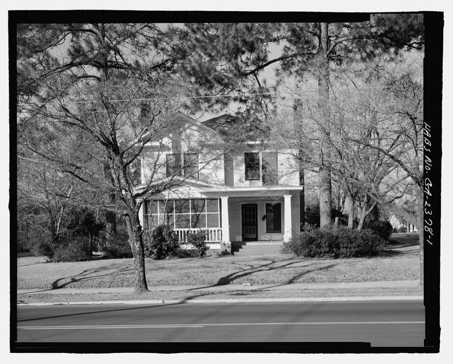
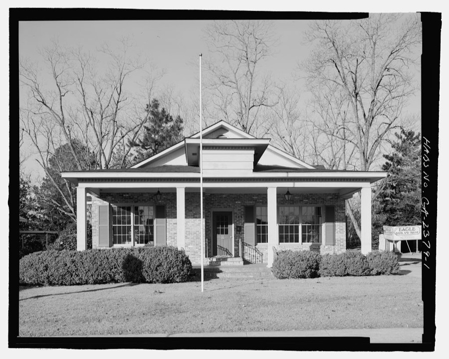
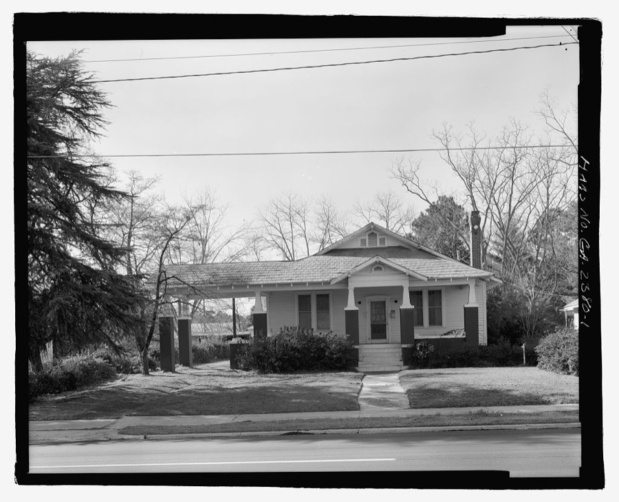
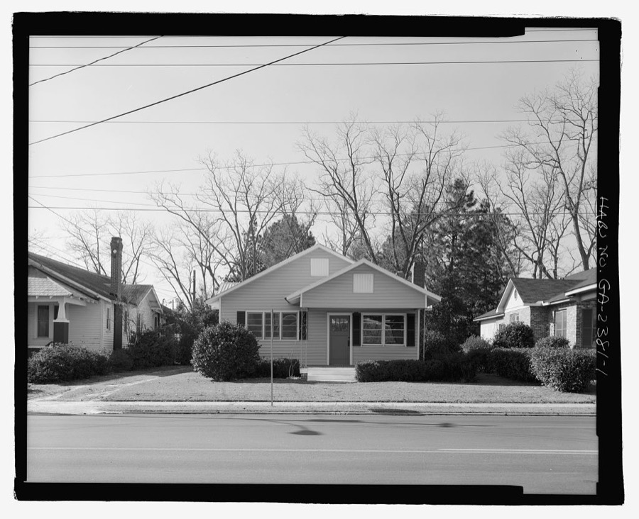
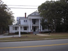
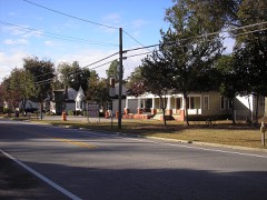
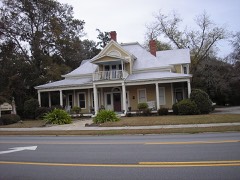
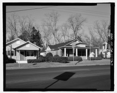
Every property in this county listed on the National Register of Historic Places, with the year it was listed and the federal nomination document.
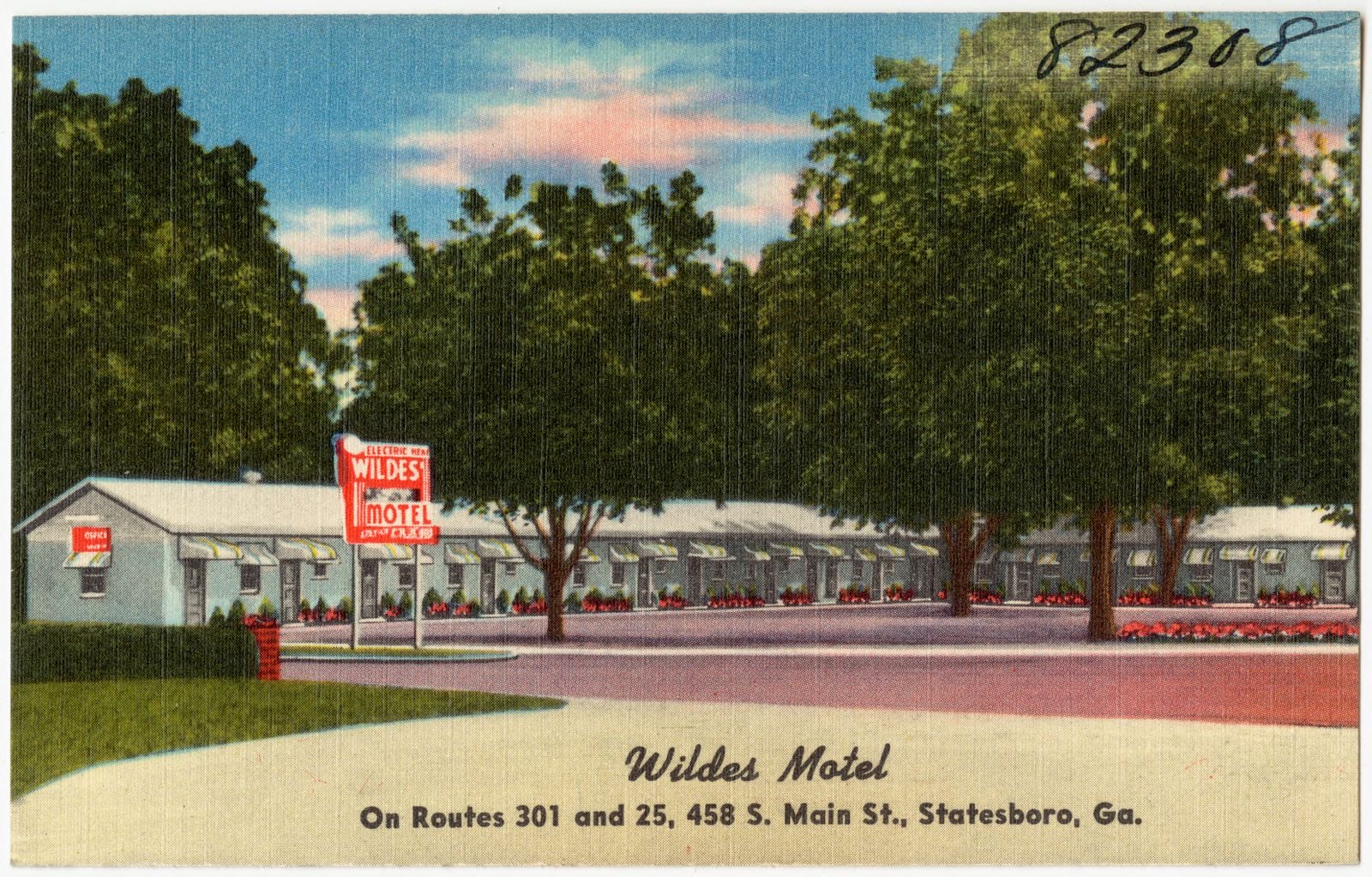
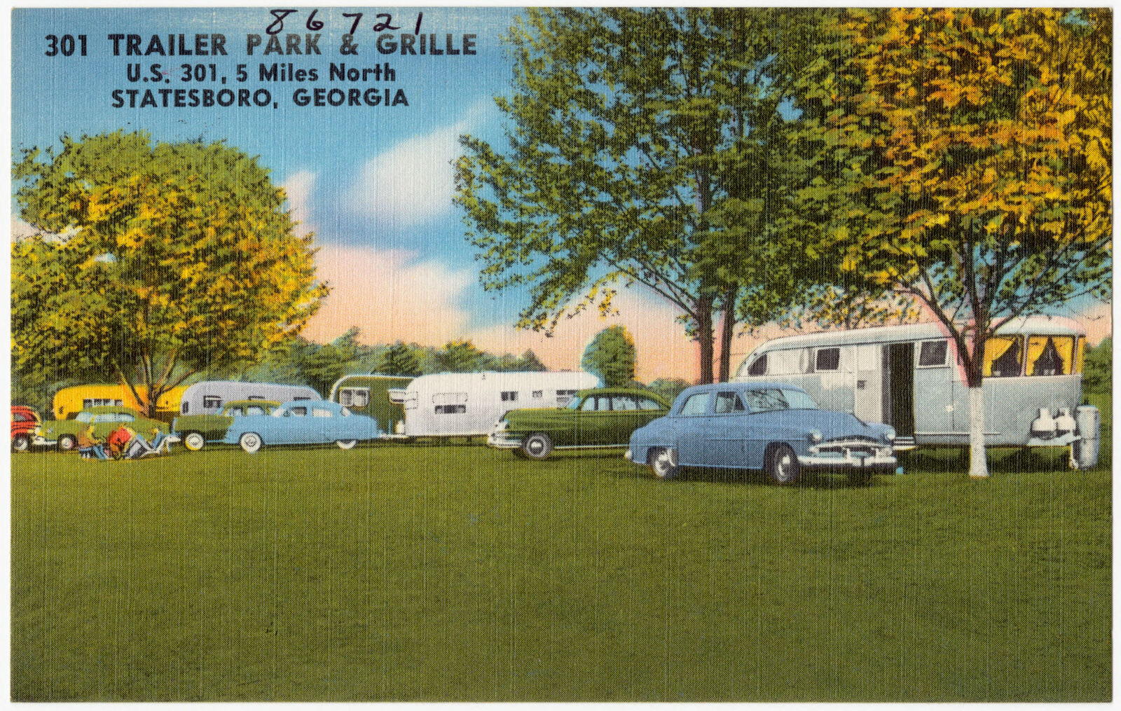
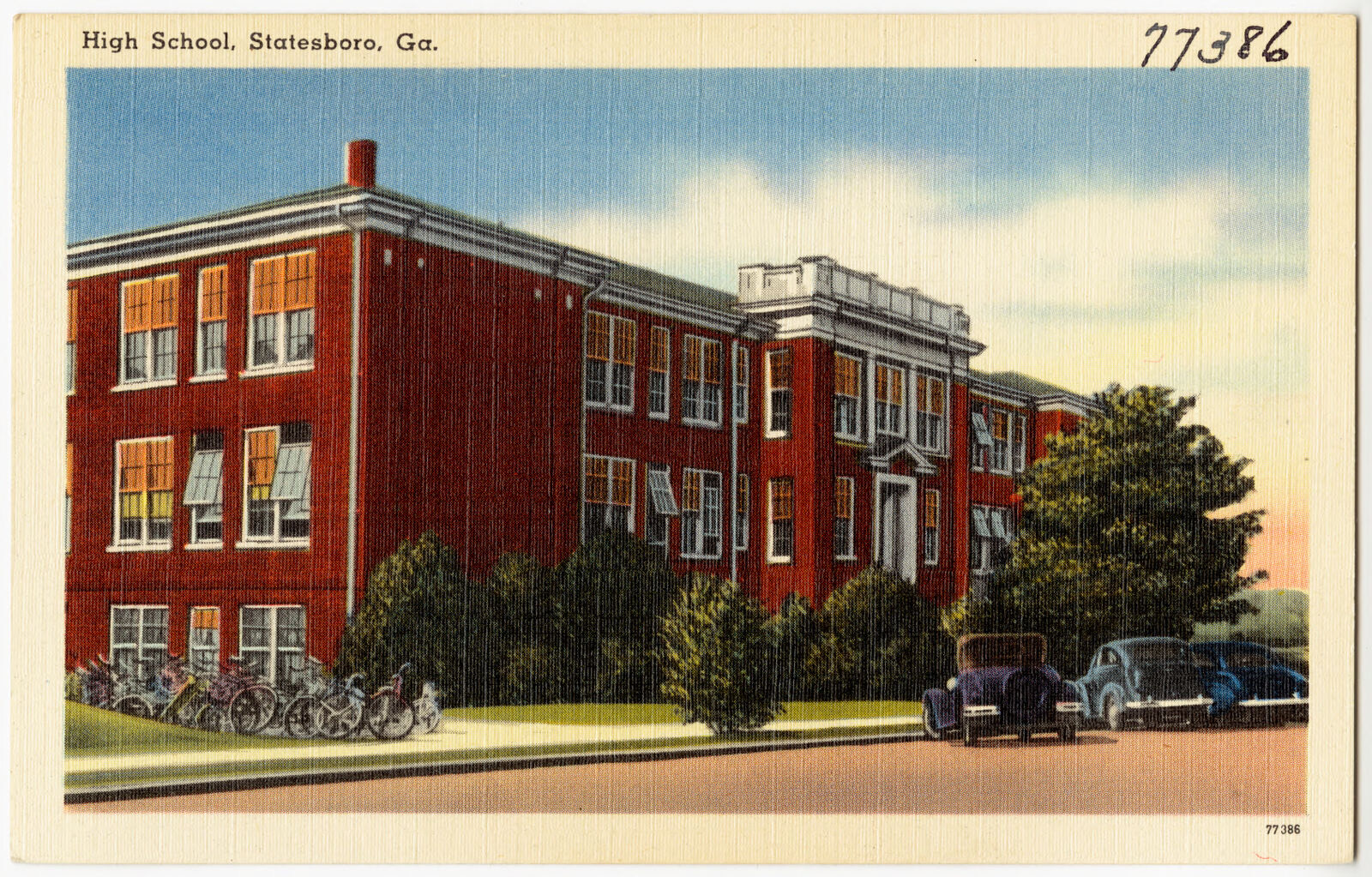
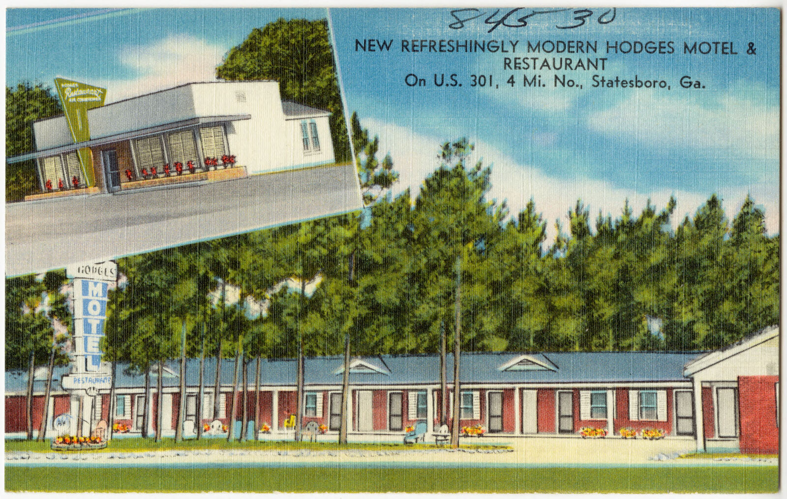
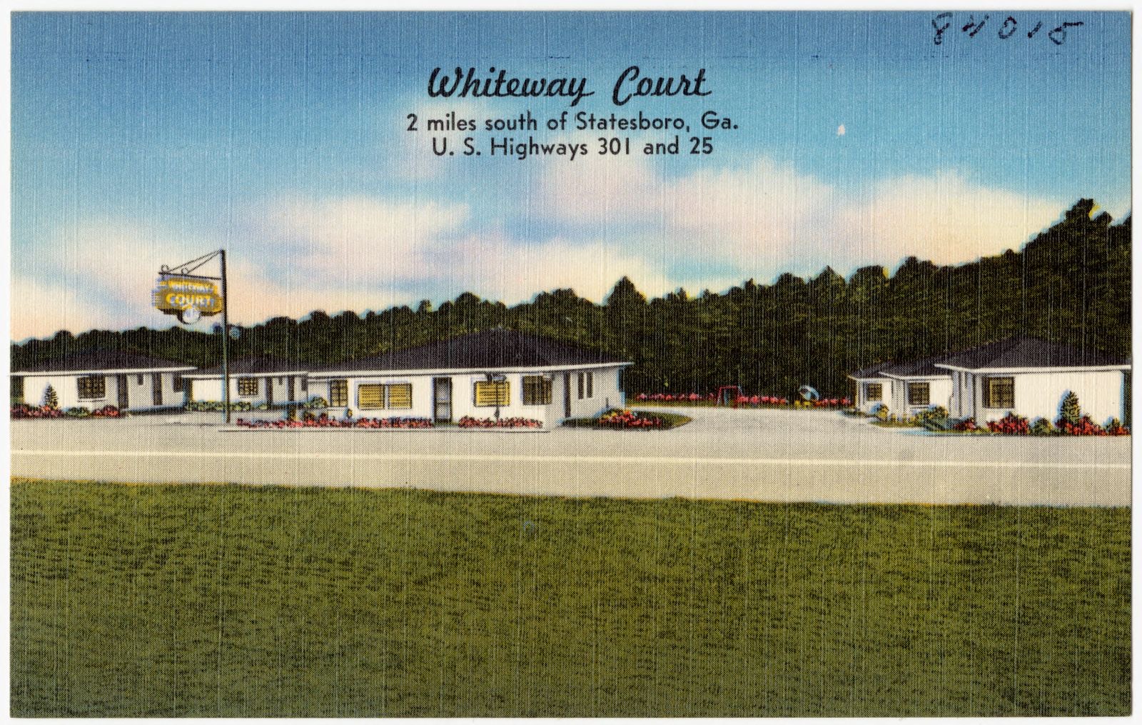
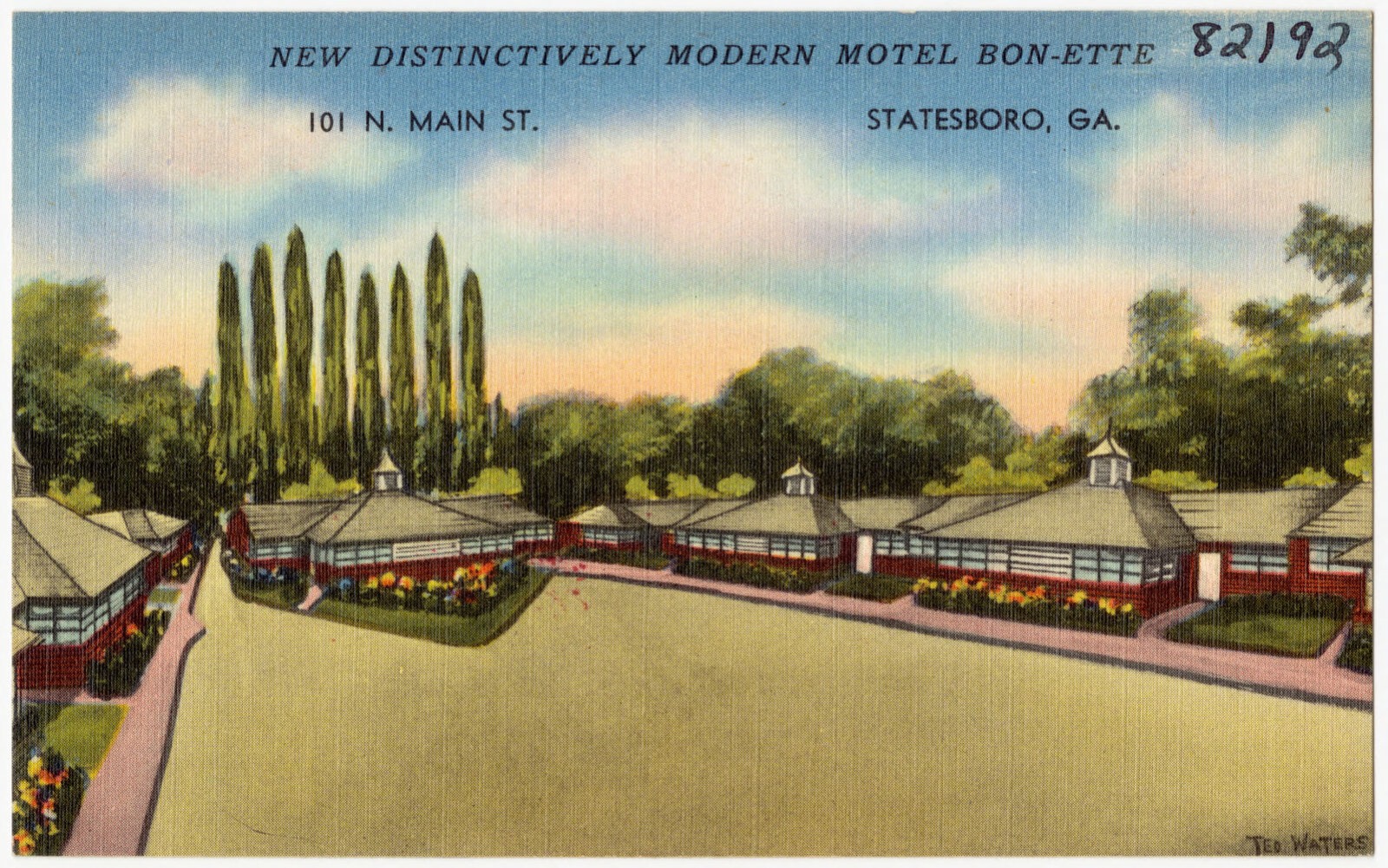
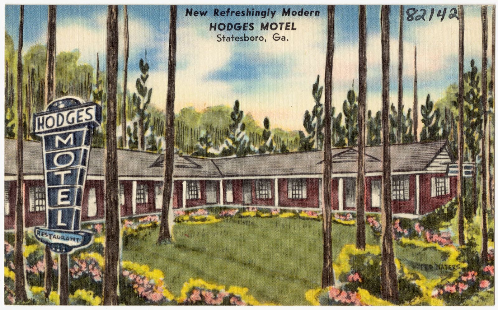
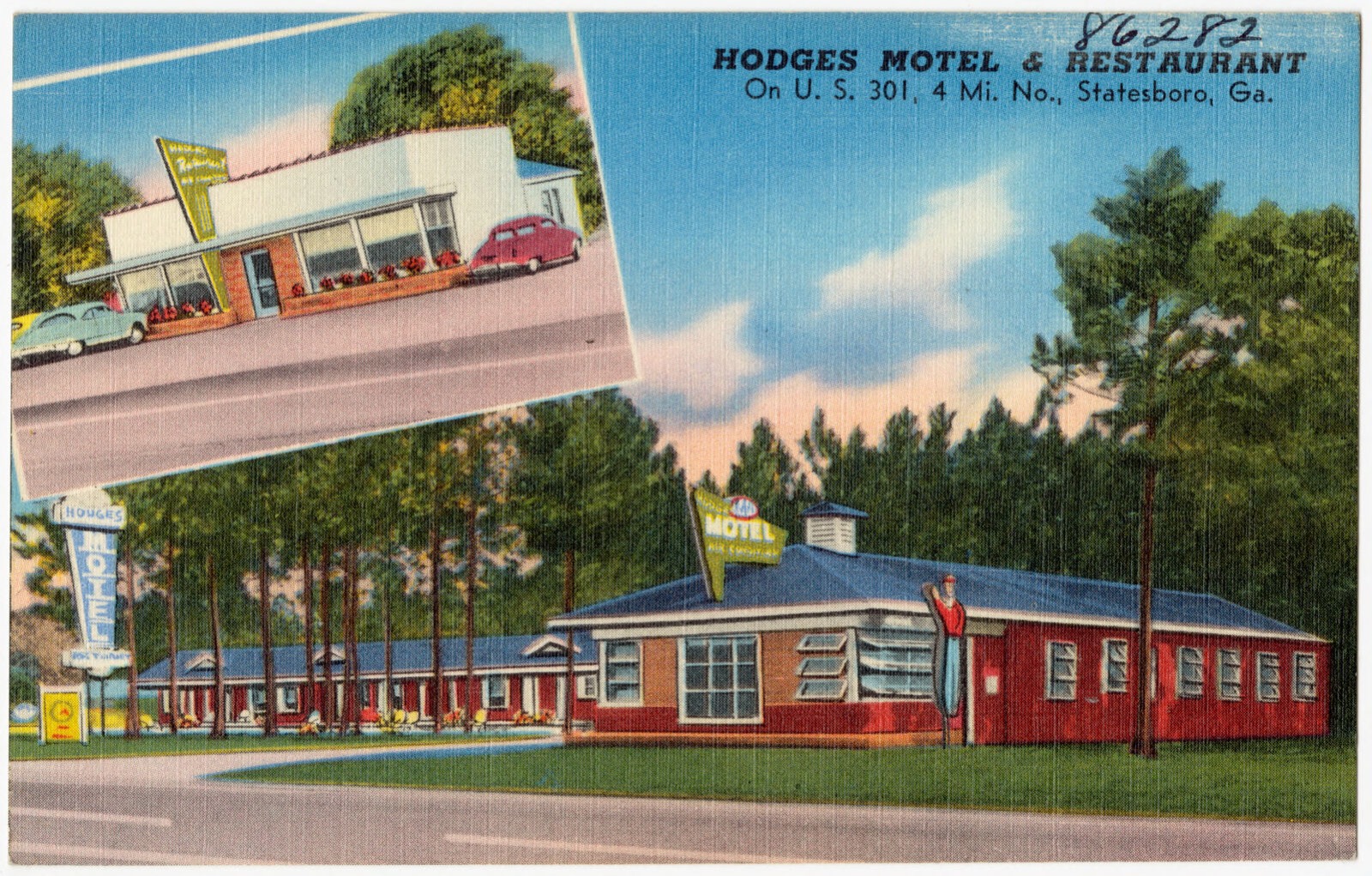
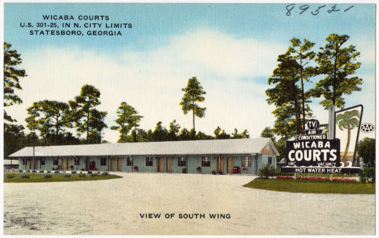
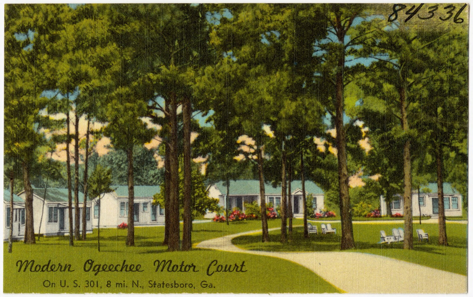
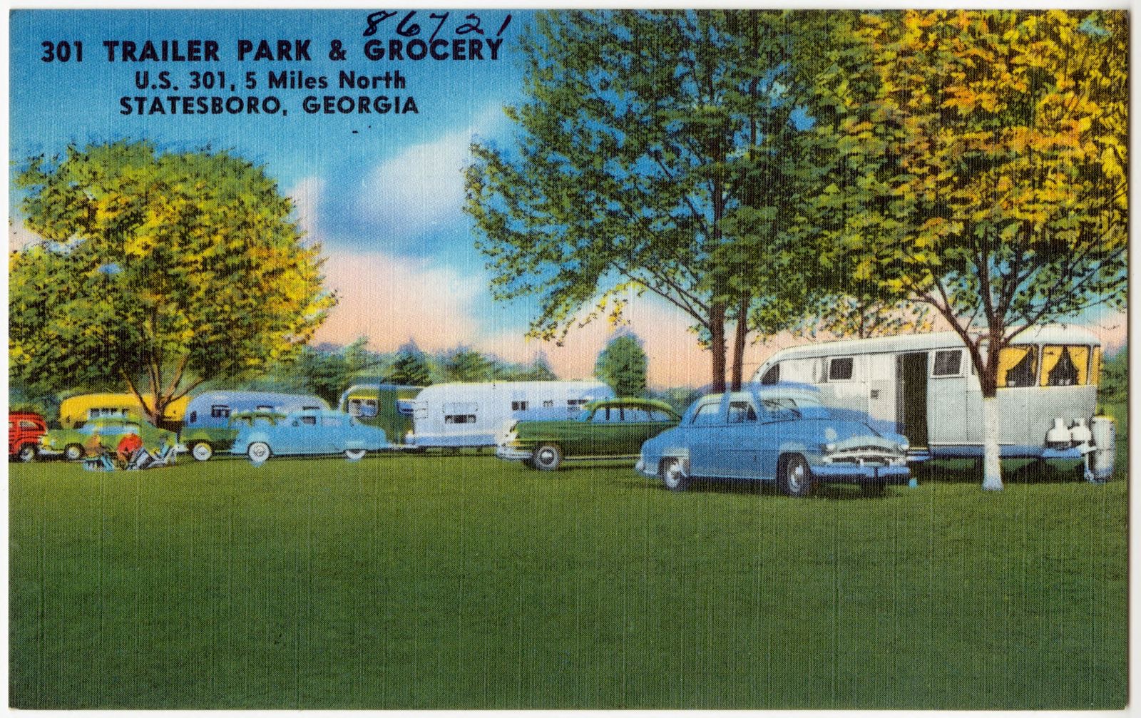
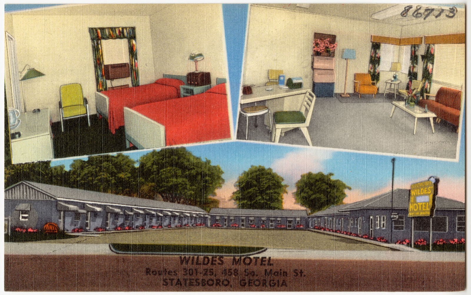
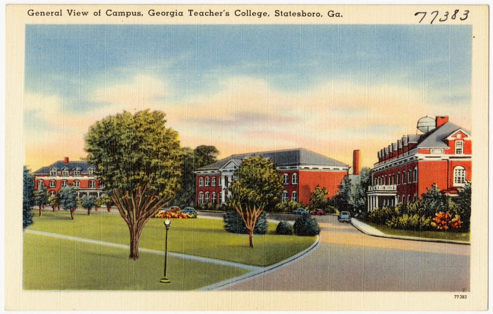
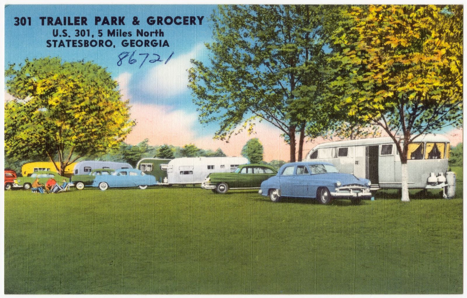
Selected from the Digital Public Library of America's 35 image records catalogued for this county. Every one shown here carries a public-domain status or a licence that permits reuse on a site that carries advertising; non-commercial, share-alike and restricted images are excluded. The selection is spread across the county's towns (at most eight per town), so no single institution's bulk upload crowds out the rest. Each opens the holding library's record, and the complete set at the Digital Public Library of America is one click away.




















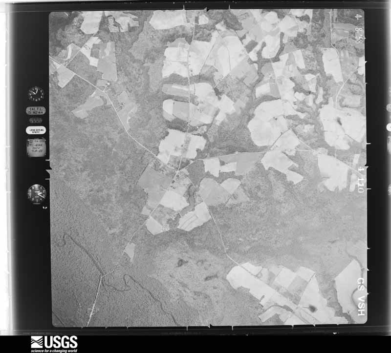
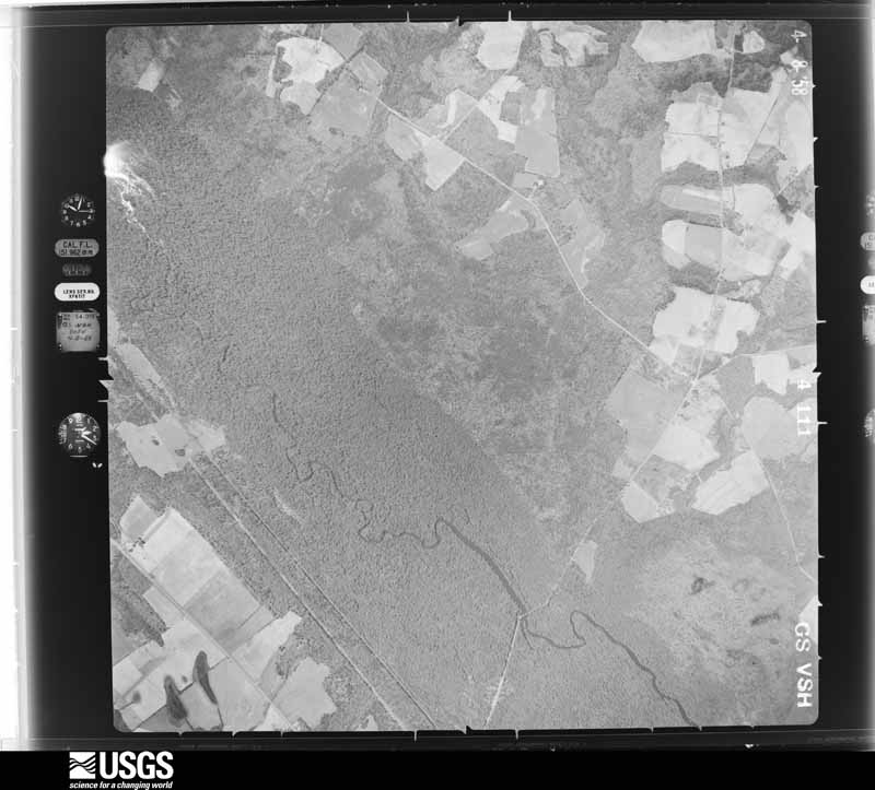
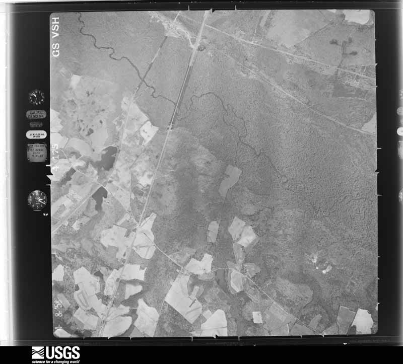
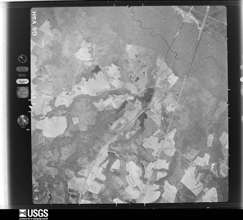
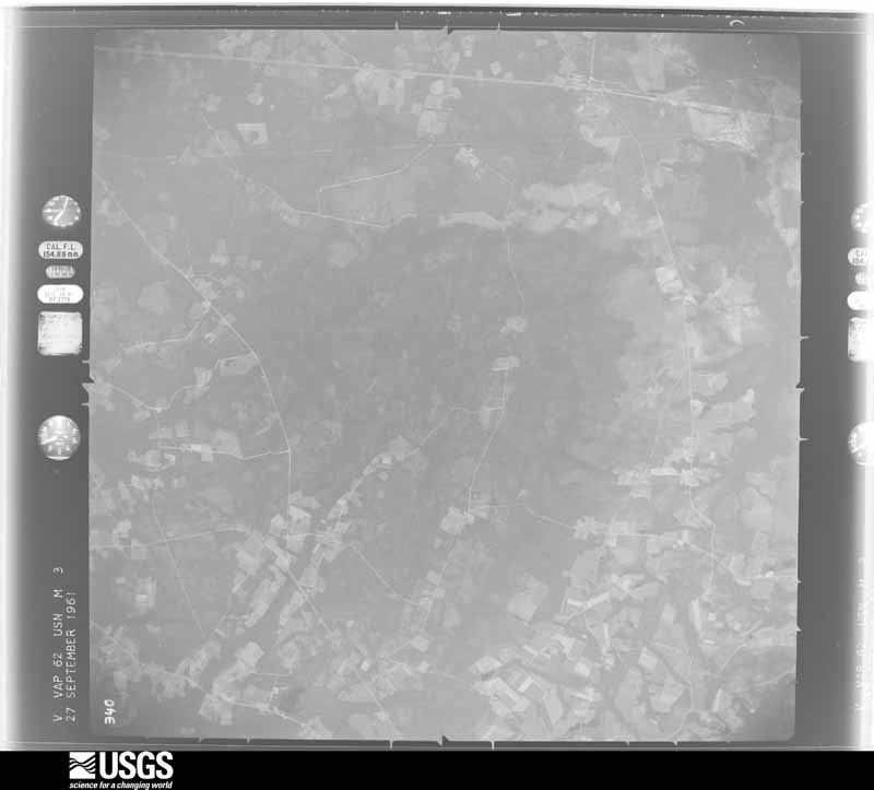
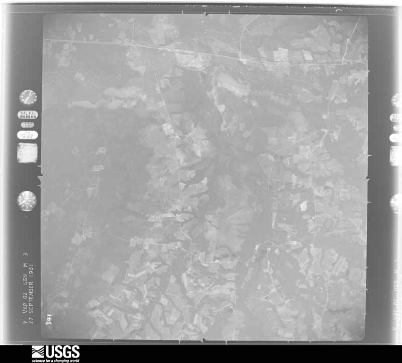
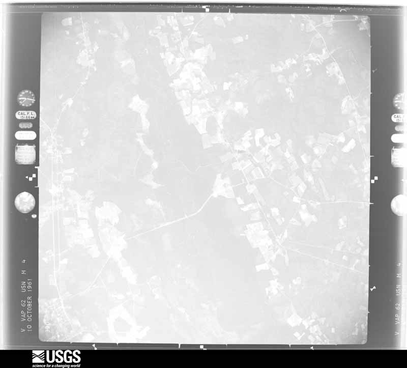
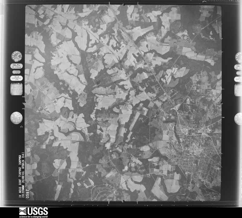
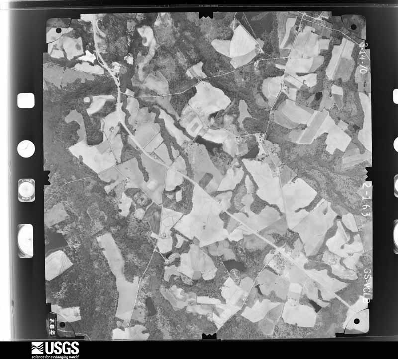
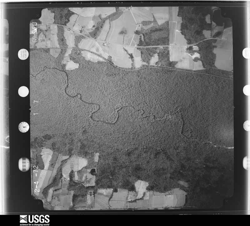
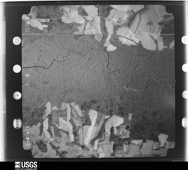
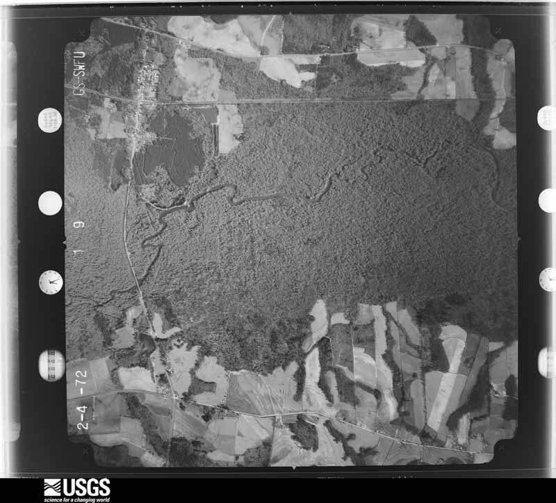
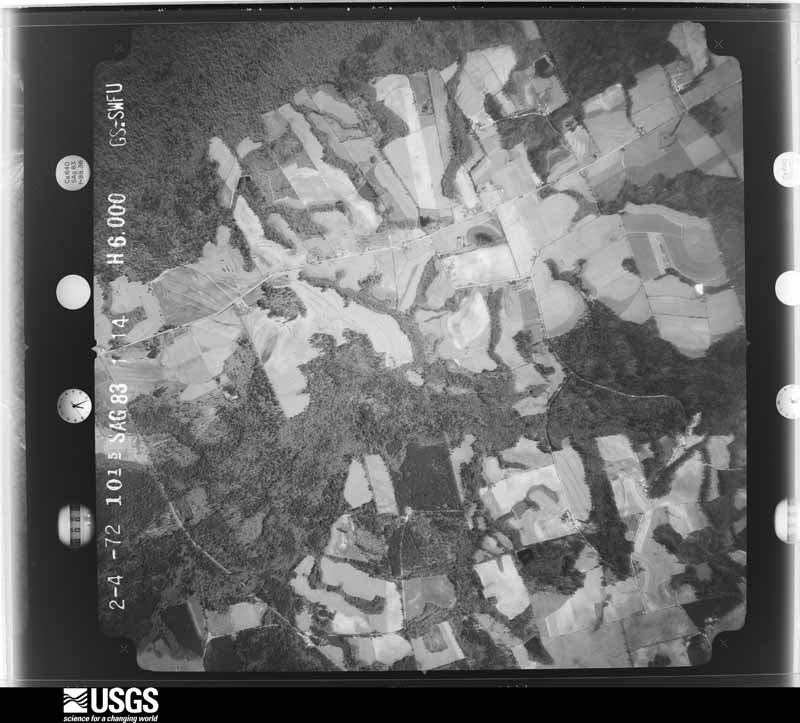
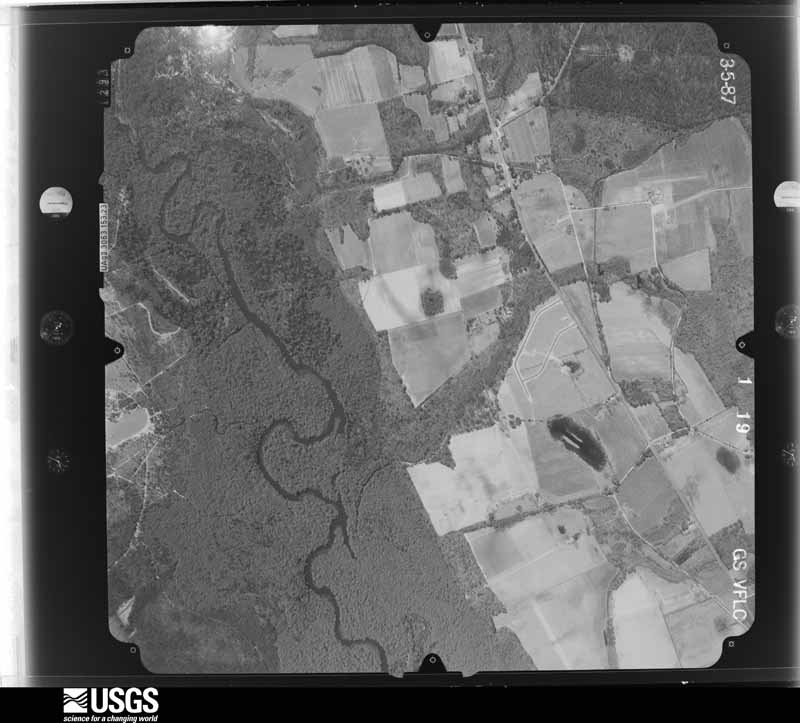
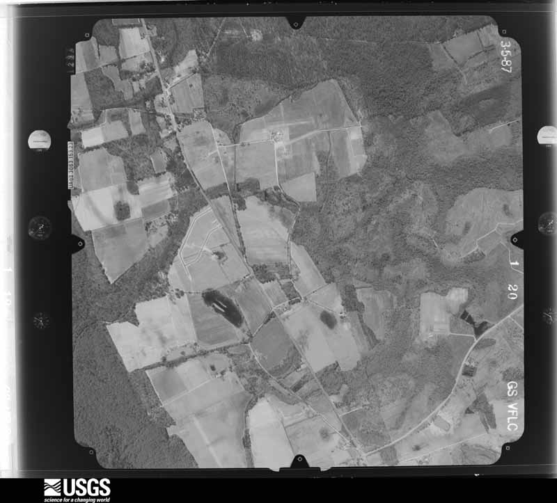
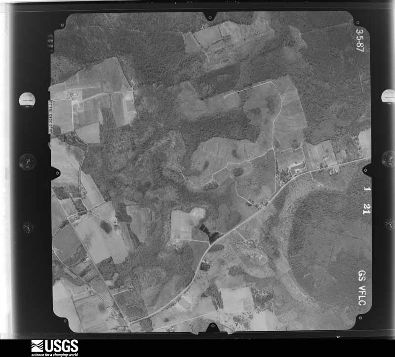
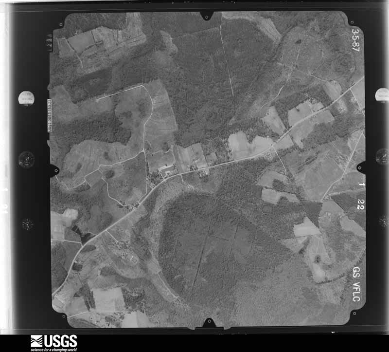
Flown by the U.S. Geological Survey between 1937 and 1989, the Aerial Photo Single Frames collection is the definitive mid-century view of the land: fields, roads and rivers as the camera saw them. The Survey holds 1,416 frames inside the rectangle that bounds this county; the 25 frames below were taken over the county itself, chosen across the decades of flights (at most four a year from that rectangle), so one flight cannot crowd out the rest. The full set is free to browse and download at EarthExplorer under the dataset Aerial Photo Single Frames.








The thermometers that kept this county's weather, as the federal records hold them. The extremes below are measured values from those records, not estimates.
Who lived here in 1950, one enumeration district at a time, as the Census Bureau described each district. Each row opens its official National Archives result, with Population Schedules and ED Maps available there.
Every wildfire the federal occurrence database records inside this county: 2,040 of them, burning about 10,140 acres. 117 started naturally and 244 were recorded as arson. Each settlement page carries the fires within five miles of it.
| Reported cause | Fires |
|---|---|
| Debris and open burning | 1318 |
| Arson/incendiarism | 244 |
| Natural | 117 |
| Missing data/not specified/undetermined | 99 |
| Equipment and vehicle use | 78 |
| Misuse of fire by a minor | 76 |
| Recreation and ceremony | 75 |
| Smoking | 28 |
| Railroad operations and maintenance | 5 |
The five largest, by the area the report gives. Four of them were set deliberately.
| Date | Cause | Size | Reported by | Name on the report |
|---|---|---|---|---|
| 27 May 2007 | Arson/incendiarism | 713 acres | Georgia Forestry Commission | not named |
| 17 April 1997 | Arson/incendiarism | 272 acres | Georgia Forestry Commission | not named |
| 12 November 2006 | Missing data/not specified/undetermined | 257 acres | Georgia Forestry Commission | not named |
| 31 January 2002 | Arson/incendiarism | 240 acres | Georgia Forestry Commission | FY2002-BULLOCH-063 |
| 17 February 1999 | Arson/incendiarism | 170 acres | Georgia Forestry Commission | not named |
| 14 May 1999 | Natural | 140 acres | Georgia Forestry Commission | not named |
| 5 April 2006 | Debris and open burning | 136 acres | Georgia Forestry Commission | not named |
| 8 August 2004 | Recreation and ceremony | 96 acres | Georgia Forestry Commission | not named |
Every settlement page carries the fires within five miles of it - see the settlement index below.
The NOAA Storm Events Database holds 516 reports for this county, causing no deaths, 49 injuries and about $4,550,600 in recorded property damage. Each settlement page carries the reports that name it.
| Kind of event | Reports |
|---|---|
| Thunderstorm Wind | 365 |
| Hail | 103 |
| Flash Flood | 20 |
| Tornado | 18 |
| Lightning | 5 |
| Flood | 2 |
| Funnel Cloud | 1 |
| Heavy Rain | 1 |
| Winter Storm | 1 |
The most serious of them, by death, then injury, then recorded damage. The accounts are quoted exactly as the forecast office filed them.
| When | Event | Place named | Harm | What the report says |
|---|---|---|---|---|
| May 1984 | Tornado (F2) | not stated | 30 hurt, $2,500,000 | no account filed |
| February 2017 | Tornado (EF2) | Stilson | 7 hurt | A National Weather Service storm survey team confirmed a tornado that tracked from southeastern Bulloch County to southwest Effingham County in Georgia on 02/09/2017. The tornado tracked east-southeast approximately 9 miles southeast of Brooklet, GA to Pineora, GA. ||The tornado began near Stillson Leefield Road, in Bulloch County, GA. Most of the damage within the first few miles of the event was due to many snapped and uprooted trees. ||The most significant damage occurred near the center of the path, in an area just west of South Old River Road to near Terrell Road, in Bulloch County, GA. There were several mobile homes along this portion of the path that were either completely destroyed, or severely damaged. The extent of damage to the mobile homes was the reason for the high end EF2 rating with estimated maximum wind speeds up to 130 mph. Two mobile homes just north of Little Hagan Road were completely destroyed, being flipped and tossed 30 to 40 feet from their foundations. One of the mobile homes in this area was not occupied, but the other one had five people inside, plus pets. All five were injured, one seriously, with broken bones in their neck. Two pets in the same mobile home survived, but one died from its injuries. There was also a car pushed 20 to 30 feet and a large metal trucking container, weighing approximately 9,000 pounds, pushed about 50 feet. ||Continuing about 200 yards southeast along the path, a single family home sustained moderate damage, mainly from projectiles and debris hitting it from the mobile homes upstream. A large carport/overhang was completely torn from the home, which then |fell on and damaged 3 cars. A large hole was punched through the north wall of the home from debris hitting the window and pushing into the home. Otherwise, some minor shingle damage was observed, with 20-30% of the shingles missing.||Another 200 yards southeast of this home was another mobile home that was severely damaged. It was lifted and rolled 30 to 40 feet off of its foundation, crushing 2 cars before coming to rest on the edge of a bluff. There were 2 people severely injured in this home with one pet injured.||The tornado then continued across the Ogeechee River into Effingham County. |
| May 1974 | Tornado (F1) | not stated | 6 hurt, $250,000 | no account filed |
| January 1997 | Tornado (F0) | Register | 4 hurt, $25,000 | no account filed |
| July 1998 | Thunderstorm Wind | Stilson | 1 hurt | Tree fell on a car and injured 1 person. |
| April 1988 | Thunderstorm Wind | not stated | 1 hurt | no account filed |
| March 2011 | Tornado (EF1) | Aaron | $250,000 | A National Weather Service storm survey confirmed and EF1 tornado with a path length of 3.1 miles and a maximum path width of 0.25 miles. One mobile home was completely destroyed and thrown 30 yards from its foundation by the tornado. Several outbuildings, sheds, and carports were damaged or destroyed and hundreds of trees were snapped or uprooted. |
| April 1975 | Tornado (F1) | not stated | $250,000 | no account filed |
| November 1974 | Tornado (F1) | not stated | $250,000 | no account filed |
| May 2008 | Tornado (EF1) | Denmark | $125,000 | A confirmed EF-1 Tornado touched down just to the east of Nevils, Georgia along Nesmith Proctor Road where a cluster of trees were snapped and blown down. The Tornado then moved rapidly east and crossed Interstate 16 near mile marker 125 where extensive tree damage occurred. The Tornado then moved across Highway 67 near Old Rocker Road where it partially destroyed the roof of a mobile home and damaged nearby trees. Finally the Tornado crossed Old Happy Road and moved through the Old Happy Farm where it completely destroyed a mobile home, several irrigation systems and a large storage shed before dissipating. ||The total path length was approximately 2.25 miles and the maximum sustained winds were estimated between 105 and 110 mph. Although considerable damage occurred with the Tornado, there were no injuries. |
| April 2011 | Thunderstorm Wind | Portal | $75,000 | An emergency manager reported that four structures received damage with multiple trees down near the intersection of Pecan Grove Road and CL Woods Road. One Church had steeple and porch damage. One mobile home was rolled over and destroyed. One tree fell on another home. One house had a front porch collapse. All damage was due to straight line winds. |
| August 2023 | Flash Flood | Statesboro | $55,000 | An emergency manager reported numerous dirt roads washed out across the northern portions of Bulloch County due to heavy rainfall associated with Tropical Storm Idalia. Flooding waters also came near to entering homes along Northlake and Westlake Drives. Numerous paved roads were also flooded with water flowing across them. Daily rainfall amounts between 6 to 8.43 inches were recorded by the time of flash flooding starting across the area. |
| August 2013 | Flash Flood | Statesboro | $50,000 | Bulloch County 911 dispatch relayed numerous reports of road closures in or near the Statesboro city limits. Approximately 20 to 25 water rescues were reported due to flooding in the first floor of an apartment complex and homes along Johnson Street and West Site Road as well as Hodges Circle. Two dam failures were also reported northeast of Statesboro. One of the dams was along Buck Creek Road. Twenty-two homes were also impacted in the Statesboro area. |
| March 2011 | Tornado (EF0) | Aaron | $40,000 | A National Weather Service storm survey confirmed an EF0 Tornado with a path length of 0.6 miles and a maximum path width of 100 yards. Two mobile homes had siding and under-siding damaged along with some minor shingle damage. The tornado also snapped and uprooted dozens of trees. |
| April 2011 | Thunderstorm Wind | Portal | $37,500 | Law enforcement reported a destroyed mobile home on Pecan Grove Road. |
| May 2010 | Thunderstorm Wind | Register | $30,000 | A Bulloch county official reported grain bins damaged, a roof blown off a home and multiple trees down in Register, Georgia. |
| November 2024 | Flash Flood | Statesboro | $25,000 | Bulloch County dispatch reported flood waters entering two homes just west of Statesboro. One home was on Hodges Circle and the other was on W Jones Avenue. |
| September 2011 | Hail | Middleground | $25,000 | Law Enforcement reported considerable hail damage across the northern portion of Bulloch county. The hail was reportedly golf ball size. |
| September 2011 | Thunderstorm Wind | Clito | $25,000 | Law Enforcement reported a large tree down on a house off of Lakeview Road, 2 miles east-southeast of Middleground, Georgia. The house sustained sufficient damage to result in the occupants being sheltered by the red cross. |
| September 1956 | Tornado (F1) | not stated | $25,000 | no account filed |
| September 2011 | Thunderstorm Wind | Middleground | $20,000 | The Public reported the tops sheared off of large and very tall pine trees, in Middleground, Georgia. |
| June 2010 | Lightning | Statesboro Muni Arpt | $20,000 | A house was on fire due to a lightning strike. |
| May 2010 | Thunderstorm Wind | Hubert | $20,000 | Bulloch county Emergency Management reported numerous trees downed by straight line winds, one of which fell on a home resulting in a moderate amount of roof damage. Winds also destroyed a storage shed. The damage occurred on R.T. Myers Road and T.R. Smith Road, 2 miles east of Bay, Georgia. |
| May 2007 | Thunderstorm Wind | Aaron | $20,000 | County dispatch reported widespread trees and power lines down across the northwest portion of the county. One tree fell on a house. |
| June 2009 | Thunderstorm Wind | Brooklet | $15,000 | Broadcast Media relayed a report of trees down and several roofs of homes damaged in the town of Brooklet, Georgia. |
| August 2014 | Flash Flood | Statesboro | $12,500 | The Bulloch County 911 Call Center reported several roads closed and automobiles stalled due to flooding. Flooding also caused water damage to a house on Johnson Street. Roads closed included Fair and Gentilly, Forest, Proctor, Ellis, Johnson, Chandler, Herty and Highway 67. Several rescues were needed for vehicles stalled in water half way up car doors. Parking lots were flooded in Georgia Southern Campus with water as deep as 2.5 feet. |
| March 2025 | Thunderstorm Wind | Statesboro Muni Arpt | $10,000 | An amateur radio operator reported power lines down near the intersection of Clito Road and 5 Chop Road. There was a power outage in this area, impacting about 1,200 homes. |
| November 2024 | Flash Flood | Jimps | $10,000 | Bulloch County dispatch reported flood waters entering a home on Turkey Trail due to heavy rainfall. |
| August 2013 | Flash Flood | Collegeboro | $10,000 | Reported flooding at the Georgia Villas near Georgia Southern University, relayed by broadcast media. There is an estimated two to three feet of standing water and partially submerged vehicles. |
| September 2011 | Thunderstorm Wind | Clito | $10,000 | Law Enforcement reported numerous large trees and power lines down, 2 miles south-southwest of Dover, Georgia. |
| May 2010 | Thunderstorm Wind | Hopeulikit | $10,000 | A trained weather spotter reported numerous large pine trees down along Akens Pond Road from Middleground Road to Sean Vickery Road 2 miles northeast of Hopeulikit, Georgia. |
| May 2010 | Lightning | Register | $10,000 | A Bulloch county official reported that lightning struck a clubhouse on Mike Brannen Road causing a fire. |
| May 2010 | Thunderstorm Wind | Aaron | $10,000 | The public reported ten 60 foot tall pine trees were snapped 20 feet from the top. All of the damaged trees were laying in the same direction. A tin roof measuring 10 feet in width was also blown off a small storage barn. The damage occurred 6 miles north of Portal Georgia. |
| May 2010 | Thunderstorm Wind | Aaron | $10,000 | The public reported 2 mobile homes shifted slightly off their foundations near the intersection of Motes Road and Old Portal Road. Surrounding buildings also received dents from hail. The damage occurred 5 miles north of Portal, Georgia. |
| June 2009 | Thunderstorm Wind | Statesboro | $10,000 | Bulloch county dispatch reported numerous trees and at least one power line down around Statesboro, Georgia. |
| May 2008 | Thunderstorm Wind | Esla | $10,000 | The Bulloch County Warning Point reported numerous trees down along Route 67 from near Interstate 16 to near the Bryan and Bulloch county line. |
| August 2007 | Thunderstorm Wind | Emit | $10,000 | Trees and Powerlines were reported down across Bulloch county. |
| August 2006 | Thunderstorm Wind | Statesboro | $10,000 | Tree down on a house in the Landing Subdivision. |
| June 1997 | Flash Flood | Register | $10,000 | Several roads were washed out when over three inhes of rain fell in just over 1 hour. |
| July 2012 | Thunderstorm Wind | Nevils | $8,000 | The Bulloch County 911 center relayed a report of trees and power lines down near the intersection of Union Church Road and Nevils Daisy Road. |
| July 2010 | Thunderstorm Wind | Hubert | $8,000 | The Emergency Manager of Bulloch county reported 10 pine trees down on Highway 80 near Kendricks Road, 4 miles west-southwest of Olney, Georgia. Two vehicles were reported to be blocked in by the downed trees. |
| June 1995 | Thunderstorm Wind | Statesboro | $8,000 | Thunderstorm winds knocked down trees and powerlines. |
| June 2010 | Thunderstorm Wind | Bland | $7,000 | The public reported 6 to 7 trees down within a 1 mile stretch on Highway 25. The public also reported dime size hail. |
| August 2011 | Thunderstorm Wind | Stilson | $6,000 | Law enforcement reported numerous trees down in Hubert, Stilson and Arcola. |
| August 2011 | Thunderstorm Wind | Bland | $6,000 | Law enforcement reported 6 trees down in the Portal, Georgia area. |
| March 2013 | Thunderstorm Wind | Statesboro | $5,250 | The Bulloch County 911 Call Center reported a tree fell on a house on the 100 block of South Roundtree Street. |
| May 2011 | Thunderstorm Wind | Statesboro | $5,000 | Law Enforcement reported a tree down down on a house off of South College Street in downtown Statesboro, Georgia. |
| May 2011 | Thunderstorm Wind | Statesboro | $5,000 | The public reported roof damage to 2 buildings at the Laurel Point apartments in Statesboro, Georgia. |
| September 2011 | Thunderstorm Wind | Clito | $5,000 | Law Enforcement reported a large tree down on Lakeview Baptist Church, 2 miles east-southeast of Middleground, Georgia. |
| May 2011 | Thunderstorm Wind | Statesboro | $5,000 | Law Enforcement reported multiple trees and power lines down in Statesboro, Georgia. |
| June 2009 | Thunderstorm Wind | Nevils | $5,000 | Law Enforcement reported trees and power lines down in the Old Groveland area of Nevils, Georgia. |
| May 2008 | Thunderstorm Wind | Esla | $5,000 | Numerous downed trees were reported by a trained weather spotter 5 miles southeast of Denmark, Georgia. |
| June 2007 | Thunderstorm Wind | Register | $5,000 | A billboard sign was snapped in half and many trees were reported down at the intersection of State Route 301 and Interstate 16. A Hotel door was also detached by the winds. |
| June 2007 | Thunderstorm Wind | Register | $5,000 | A tree fell on a home. |
| May 2007 | Thunderstorm Wind | Middleground | $5,000 | A trained storm spotter reported tops of large pine trees were broken off. |
| August 2007 | Thunderstorm Wind | Statesboro | $5,000 | One tree was reported to have fallen on a car on Lakeview Road in Statesboro. |
| August 2007 | Thunderstorm Wind | Aaron | $5,000 | Numerous trees were reported down at intersection of U.S. Route 80 and John B. Lanier Road. |
| July 2006 | Thunderstorm Wind | Clito | $5,000 | Trees and powerlines down. |
| April 1999 | Tornado (F0) | Statesboro | $5,000 | Roof partially torn off boat house, boat thrown some distance, several trees uprooted or snapped off. |
| June 1994 | Thunderstorm Wind | Nevils | $5,000 | Several large trees and power lines were downed by thunderstorm winds. |
Named settlements recorded in the Geographic Names Information System, each with the topographic sheets covering it. Villages, hamlets and abandoned places alike. Each is shown with the nearest named watercourse or landform and the survey quadrangle it falls on. The 2 places that were also surveyed for fire insurance come first, with the number of atlases and photographs held for them.
Portal census division · 30450 · Portal quadrangle
15 sheets, 1921 to 1981
Fire insurance: 2 atlases
Statesboro census division · 30458 · Statesboro quadrangle
17 sheets, 1920 to 1993
Fire insurance: 5 atlases
Nevils-Stilson census division · 30458 · On Big Branch · Daisy quadrangle
19 sheets, 1919 to 1981
Portal census division · 30450 · Portal quadrangle
15 sheets, 1921 to 1981
No longer a settlement
Portal census division · 30461 · On Nevills Creek · Hopeulikit quadrangle
15 sheets, 1921 to 1981
Register census division · 30452 · On Big Branch · Daisy quadrangle
19 sheets, 1919 to 1981
Statesboro census division · 30458 · Statesboro quadrangle
17 sheets, 1920 to 1993
No longer a settlement
Statesboro census division · 30458 · On Granna Branch · Statesboro quadrangle
17 sheets, 1920 to 1993
Statesboro census division · 30458 · On Granna Branch · Statesboro quadrangle
17 sheets, 1920 to 1993
Statesboro census division · 30461 · On Deal Branch · Statesboro quadrangle
17 sheets, 1920 to 1993
Statesboro census division · 30461 · On Wilson Branch · Dover quadrangle
16 sheets, 1918 to 1981
Brooklet census division · 30458 · On Gum Branch · Nevils quadrangle
16 sheets, 1920 to 1981
No longer a settlement
Statesboro census division · 30458 · On Granna Branch · Statesboro quadrangle
17 sheets, 1920 to 1993
Statesboro census division · 30458 · On Granna Branch · Statesboro quadrangle
17 sheets, 1920 to 1993
Statesboro census division · 30461 · On Deal Branch · Statesboro quadrangle
17 sheets, 1920 to 1993
Statesboro census division · 30458 · On Wolfpen Branch · Statesboro quadrangle
17 sheets, 1920 to 1993
Statesboro census division · 30461 · On Deal Branch · Statesboro quadrangle
17 sheets, 1920 to 1993
Statesboro census division · 30458 · On Wolfpen Branch · Statesboro quadrangle
17 sheets, 1920 to 1993
Nevils-Stilson census division · 30415 · On Sweeten Water Branch · Guyton quadrangle
16 sheets, 1919 to 1981
Statesboro census division · 30458 · On Dry Branch · Statesboro quadrangle
17 sheets, 1920 to 1993
Portal census division · 30450 · On Bunks Branch · Portal quadrangle
15 sheets, 1921 to 1981
No longer a settlement
Statesboro census division · 30461 · Statesboro quadrangle
17 sheets, 1920 to 1993
Statesboro census division · 30461 · Brooklet quadrangle
14 sheets, 1921 to 1981
No longer a settlement
Nevils-Stilson census division · 30415 · Groveland quadrangle
18 sheets, 1920 to 1981
Statesboro census division · 30458 · On Belcher Branch · Statesboro quadrangle
17 sheets, 1920 to 1993
Statesboro census division · 30458 · On Belcher Branch · Statesboro quadrangle
17 sheets, 1920 to 1993
Nevils-Stilson census division · 31308 · On Sweeten Water Branch · Guyton quadrangle
16 sheets, 1919 to 1981
Register census division · 30458 · On Big Branch · Daisy quadrangle
19 sheets, 1919 to 1981
Statesboro census division · 30458 · On Belcher Branch · Statesboro quadrangle
17 sheets, 1920 to 1993
Portal census division · 30450 · On Bunks Branch · Portal quadrangle
15 sheets, 1921 to 1981
Statesboro census division · 30458 · On Granna Branch · Statesboro quadrangle
17 sheets, 1920 to 1993
Statesboro census division · 30458 · Statesboro quadrangle
17 sheets, 1920 to 1993
Statesboro census division · 30458 · On Wolfpen Branch · Statesboro quadrangle
17 sheets, 1920 to 1993
The vanished settlements of Bulloch County: the places named above that are no longer on the map.
17 topographic sheets and 5 fire insurance atlases, 1908 to 1946
The complete index, with nothing left out. Each of these is a separate record with its own page: a federal survey report, or the case file that argued a property on to the National Register. Both are public domain and reproduced word for word.
The vanished settlements of Bulloch County, the places these records name that are no longer on the map.