 Block
Treadwell, Georgia
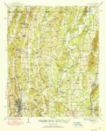
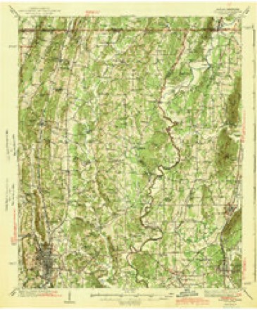
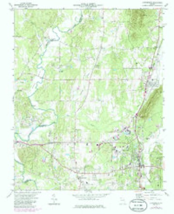
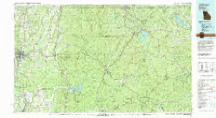
21 topographic sheets cover this place, the earliest surveyed in 1886 and the latest in 1981. It stands in the Chatsworth census division. It lies in ZIP code area 30705. The Survey maps it on the Chatsworth quadrangle.
Topographic sheets covering this place
12 surveys from 21 printed sheetsMatched by testing this settlement's coordinate against the published boundary of every sheet in the United States Geological Survey's historical collection. Each opens the scanned sheet at the Survey.
- 1886 USGS Dalton quadrangle1:125000
- 1892 USGS Dalton quadrangle1:125000
- 1897 USGS Dalton quadrangle1:125000, 4 printings
- 1938 USGS Chatsworth quadrangle1:48000
- 1938 USGS Dalton quadrangle1:62500, 2 printings
- 1943 USGS Dalton quadrangle1:62500, 2 printings
- 1955 USGS Rome quadrangle1:250000
- 1958 USGS Rome quadrangle1:250000, 3 printings
- 1961 USGS Rome quadrangle1:250000
- 1963 USGS Rome quadrangle1:250000
- 1972 USGS Chatsworth quadrangle1:24000, 3 printings
- 1981 USGS Dalton quadrangle1:100000




Fires near this place
478 since 1992Regional context, not property-specific evidence. The federal wildfire occurrence database lists 478 fires within 5 miles of Treadwell between 1992 and 2019, burning about 831 acres in total. 7 started naturally. 78 were recorded as arson. Distance is straight-line from the map coordinates, so a fire counted here may appear on a neighbouring settlement's page as well.
| Reported cause | Fires |
|---|---|
| Debris and open burning | 249 |
| Arson/incendiarism | 78 |
| Misuse of fire by a minor | 53 |
| Missing data/not specified/undetermined | 46 |
| Equipment and vehicle use | 21 |
| Smoking | 13 |
| Recreation and ceremony | 11 |
| Natural | 7 |
The most recent of them, most recent first, with the day each was reported and the service that recorded it.
| Date | Cause | Size | Reported by | Name on the report |
|---|---|---|---|---|
| 8 September 2006 | Debris and open burning | under an acre | Georgia Forestry Commission | not named |
| 7 September 2007 | Missing data/not specified/undetermined | under an acre | Georgia Forestry Commission | not named |
| 5 September 1999 | Arson/incendiarism | under an acre | Georgia Forestry Commission | not named |
| 5 September 1999 | Arson/incendiarism | 2.0 acres | Georgia Forestry Commission | not named |
| 4 September 1999 | Misuse of fire by a minor | under an acre | Georgia Forestry Commission | not named |
| 4 September 1993 | Debris and open burning | under an acre | Georgia Forestry Commission | not named |
| 3 September 1998 | Debris and open burning | 4.2 acres | Georgia Forestry Commission | not named |
| 29 September 1994 | Debris and open burning | under an acre | Georgia Forestry Commission | not named |
Settlements close enough to share some of these fires:
Mines and quarries near this place
9 within 5 milesRegional context, not property-specific evidence. The federal mineral resources record lists 9 workings within 5 miles of Treadwell: 5 past producers, 2 producers, 1 prospect, 1 occurrence. 2 still produce. What was taken out: Stone, Crushed/Broken, Barium-Barite, Marble, Dimension. Distance is straight-line from the map coordinates, so a quarry counted here may appear on a neighbouring settlement's page as well.
| Where | Site | Commodity | Status | Recorded |
|---|---|---|---|---|
| Jet Black Marble Co Quarry | Marble, Dimension | Past Producer | ||
| C.C.Keith Property | Barium-Barite | Past Producer | ||
| W.F.Hampton Property | Barium-Barite | Occurrence | ||
| Chatsworth Mine | Stone, Crushed/Broken | Producer | ||
| Cooper Pit | Stone, Crushed/Broken | Producer | ||
| County Quarry | Stone, Crushed/Broken | Past Producer | ||
| Farrar Tripoli Prospect | Stone, Crushed/Broken | Prospect | ||
| Southern Talc Slate Pit | Stone, Crushed/Broken | Past Producer | ||
| Eton Distr.-B | Past Producer | Residual |
Storms near this place
5 since 2015Regional context, not property-specific evidence. The National Weather Service names Treadwell in 5 storm reports between 2015 and 2025: 3 thunderstorm wind, 1 flash flood, 1 tornado. The reports record 8 deaths and 24 injuries. Each account below is quoted exactly as the forecast office filed it, from the NOAA Storm Events Database, and each date opens the federal record of that event.
| When | Event | Place named | Harm | What the report says |
|---|---|---|---|---|
| April 2020 | Tornado (EF2) | Treadwell | 8 killed, 24 hurt, $500,000 | A National Weather Service survey found that an EF2 tornado with maximum winds of 135 mph and a maximum path width of 860 yards occurred in Murray County. The tornado touched down along Mitchell Bridge Road, just northwest of the Indian Trace Golf Course where several trees were snapped. The tornado moved northeast crossing Highway 286 and Twin Lakes Road where a few trees were snapped or uprooted and|minor damage occurred to several homes. The tornado appeared to briefly strengthen around Ellis Circle where there was more notable exterior damage to homes and a greater number of trees uprooted. As the tornado continued northeast crossing Fullers Chapel Road, noticeable strengthening occurred. Aerial drone footage showed a wide swath of large trees blown down just before Norton Bridge Road. At least 8 double-wide manufactured homes were completely destroyed along Deer Park Drive, with several others sustaining some degree of damage. It was here the tornado quickly strengthened to EF2 intensity with winds around 125 MPH. Similar, significant, damage was seen along Ridgeview Lane and Fieldview Court, where additional manufactured homes were destroyed and a recently built cell tower was left crumpled by the intense winds. At this point, the tornado reached its peak intensity with maximum wind speeds around 135 MPH. The tornado maintained its EF2 intensity as it crossed over Zion Church Hill Road, just before Highway 225. As the strong tornado crossed Highway 225, a small single-family home was heavily damaged with just a couple of interior walls left standing. Along Jim Petty Road, 4 large chicken houses were damaged or destroyed with the debris thrown several hundred yards away. Further north along Jim Petty Road, near Hawkins Road, the damage appeared to lessen quickly with just a few trees blown down and minor roof damage to a shed. Some additional damage, mainly trees being snapped or uprooted, was seen along Halls Chapel Road, just before Temple Grove road. The tornado lifted just beyond this point, along Sumac Ridge. Eight people were killed and around 2 dozen injured in the area between Fullers Chapel Road and Jim Petty Road. [04/12/20: Tornado #2, County #1/1, EF-2, Murray, 2020:008]. |
| August 2024 | Thunderstorm Wind | Treadwell | $3,000 | Several trees down at goswick rd and mitchell bridge rd. |
| July 2024 | Thunderstorm Wind | Treadwell | $2,000 | Trees down on powerlines along Bettis Road . |
| June 2015 | Flash Flood | Treadwell | $2,000 | The Murray County emergency manager reported a few streams and drainage branches on the westside of Chatsworth had overflowed their banks and a few roads were under water 6 to 8 inches deep. Weather radars estimated 3 to 4 inches of rain occurred in less than 90 minutes. |
| June 2025 | Thunderstorm Wind | Treadwell | $1,000 | A tree was downed on Greeson Bend Road at Conasauga Way. |
Nearest settlements
The eight closest, with where each one stands in the county. Distances are straight-line, computed from the Geographic Names Information System coordinates.
| Map | Place | Distance | Sheets |
|---|---|---|---|
| Spring Place | 3.2 miles | 21 | |
| Chatsworth | 5.5 miles | 21 | |
| Oran | 5.5 miles | 21 | |
| Eton | 6.4 miles | 21 | |
| Fort Mountain (historical) | 6.4 miles | 21 | |
| Sumac | 7.9 miles | 19 | |
| Holley | 8.6 miles | 19 | |
| Crandall | 8.8 miles | 21 |
Provenance
This settlement is recorded in the Geographic Names Information System as feature 334571. The sheet list is computed by point-in-boundary test against the United States Geological Survey's historical topographic inventory. Both are works of the United States government and carry no copyright under 17 U.S.C. 105.
Wildfire. Short, Karen C. 2022. Spatial wildfire occurrence data for the United States, 1992-2020 [FPA_FOD_20221014]. 6th Edition. Fort Collins, CO: Forest Service Research Data Archive. https://doi.org/10.2737/RDS-2013-0009.6 Collected with United States Government funding and usable without additional permissions or fees.
Mines and quarries. USGS Mineral Resources Data System (MRDS) https://mrdata.usgs.gov/mrds/ A work of the United States government, no copyright under 17 U.S.C. 105.
Storms. NOAA National Centers for Environmental Information, Storm Events Database https://www.ncei.noaa.gov/stormevents/ A work of the United States government, no copyright under 17 U.S.C. 105. Narratives are quoted verbatim from the National Weather Service report and are not edited or summarised.