 Block
From the record
9 National Register listings published here.
Sources: the National Register database, National Park Service
48 topographic sheets cover 25 settlements here, and 9 properties are on the National Register of Historic Places.
9 National Register listings published here.
Sources: the National Register database, National Park Service
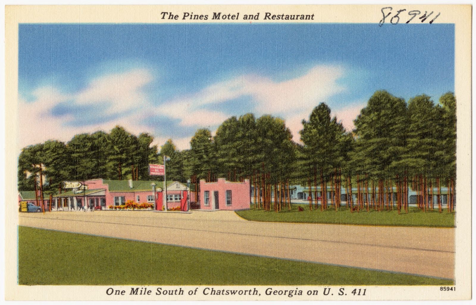
Taken for the Office of War Information and the Farm Security Administration, who photographed the country between 1935 and 1944. Works of United States government photographers, with no known restriction on use. Each opens its catalogue record.
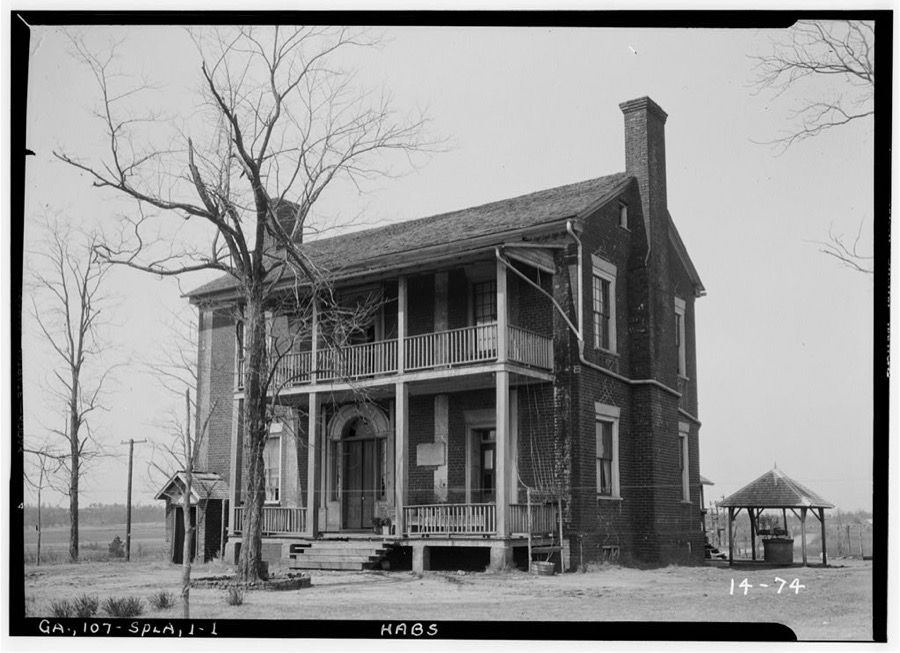
Every property in this county listed on the National Register of Historic Places, with the year it was listed and the federal nomination document.
| Photograph | Property | Type | Listed | Reference |
|---|---|---|---|---|
| Carter's Quarters | building | 1986 | 86000460 | |
| Chatsworth Downtown Historic District | district | 2005 | 05000693 | |
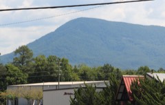 | Fort Mountain | site | 1977 | 77001587 |
 | Murray County Courthouse | building | 1980 | 80001123 |
| Murray County High School Historic District | district | 2004 | 04000628 | |
| Pleasant Valley Historic District | district | 2009 | 09000751 | |
| Spring Place Historic District | district | 2005 | 04000338 | |
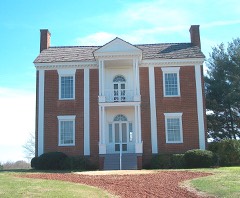 | Vann House | building | 1969 | 69000044 |
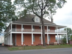 | Wright Hotel | building | 1982 | 82002456 |
Selected from the Digital Public Library of America's 1 image records catalogued for this county. Every one shown here carries a public-domain status or a licence that permits reuse on a site that carries advertising; non-commercial, share-alike and restricted images are excluded. The selection is spread across the county's towns (at most eight per town), so no single institution's bulk upload crowds out the rest. Each opens the holding library's record, and the complete set at the Digital Public Library of America is one click away.
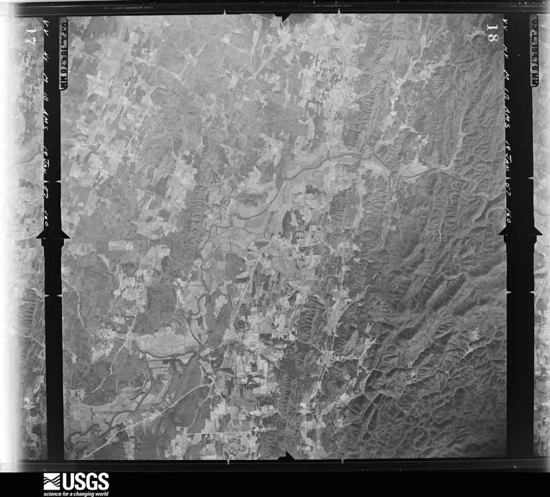
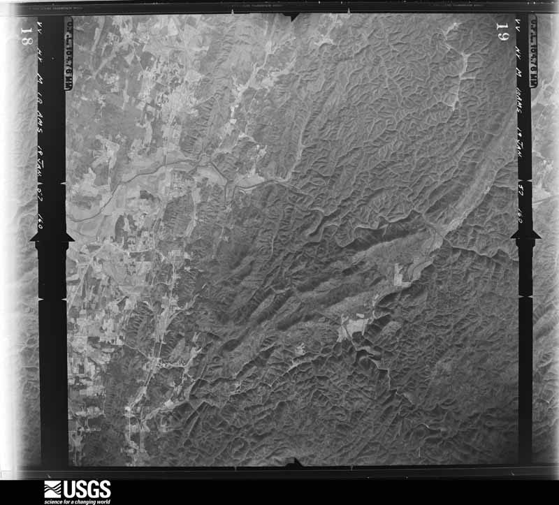
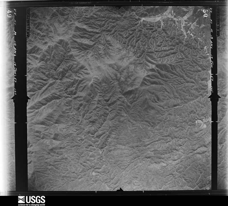
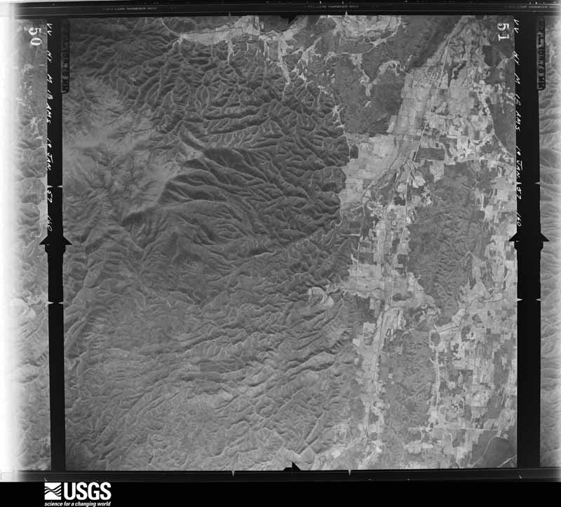
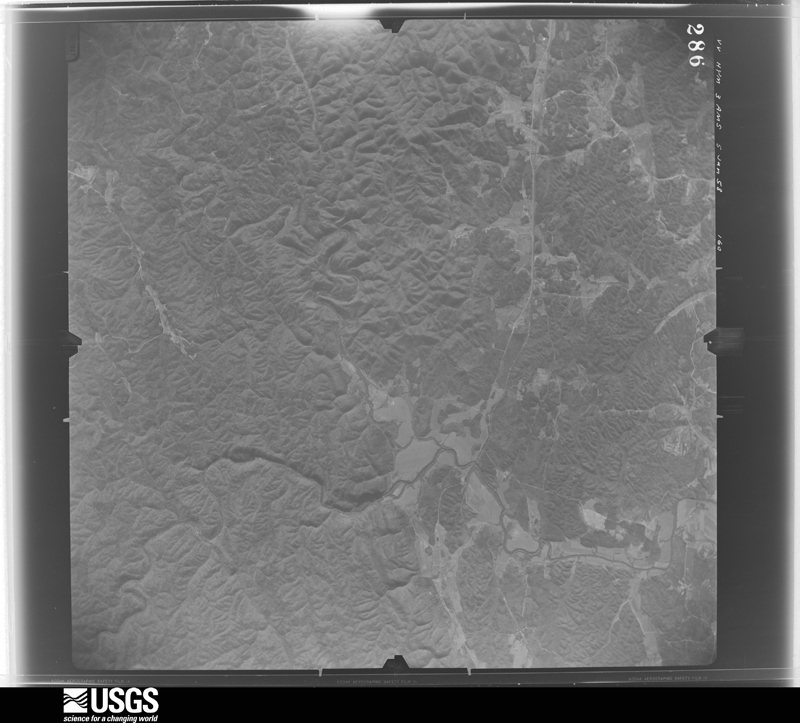
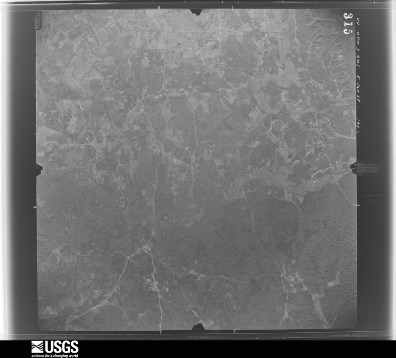
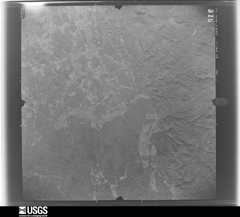
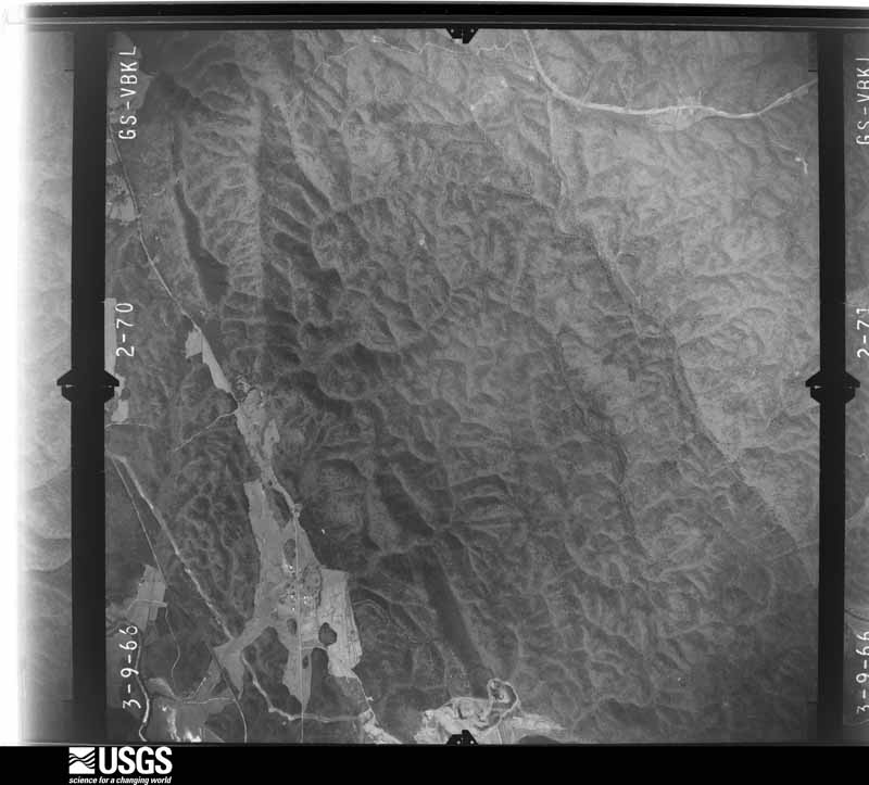
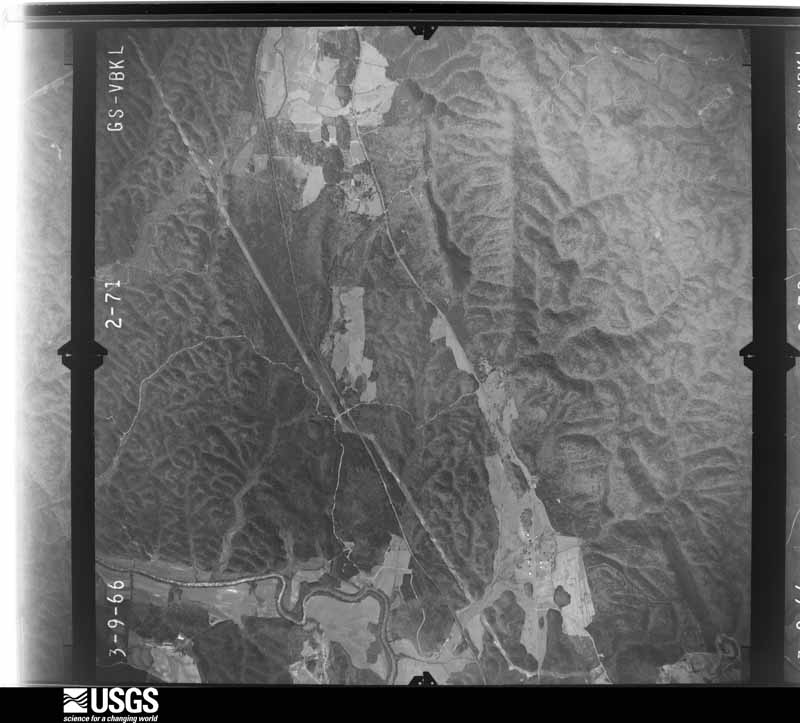
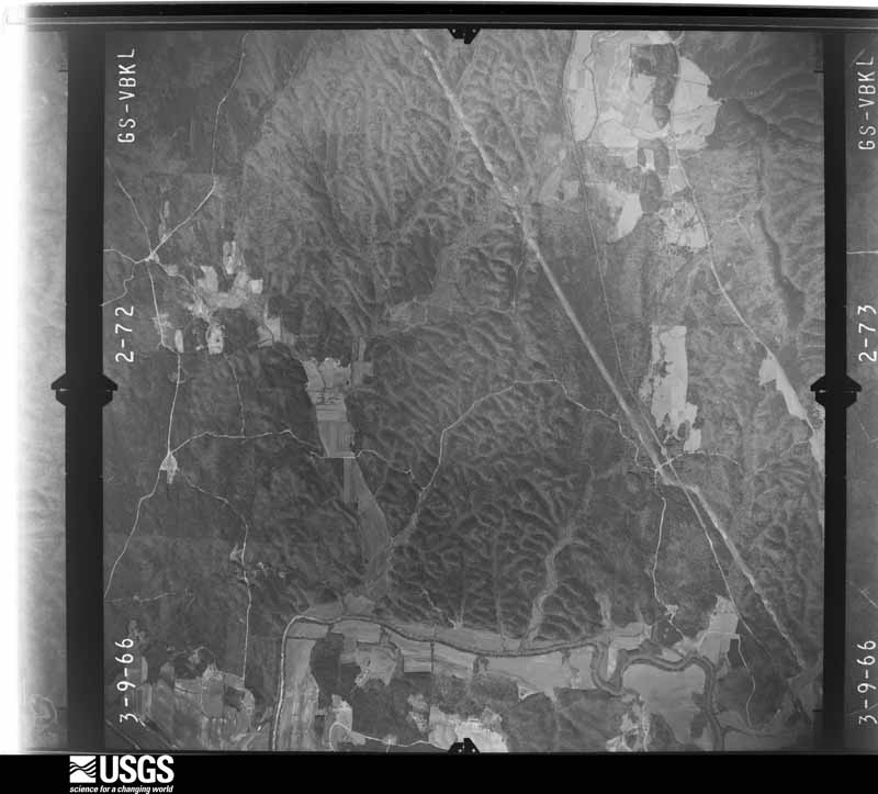
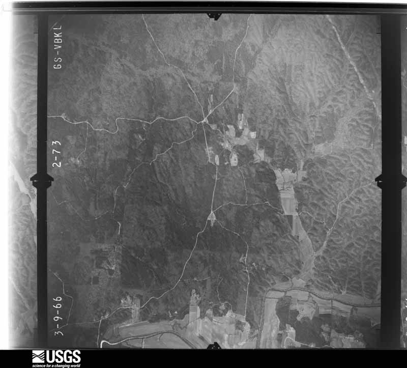
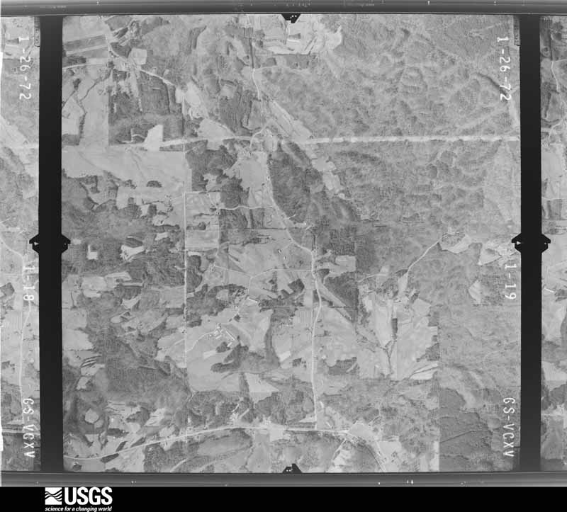
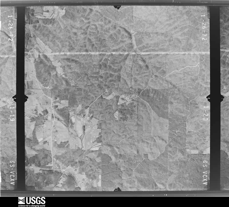
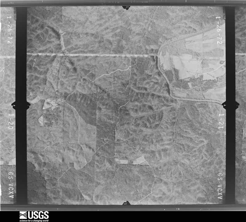
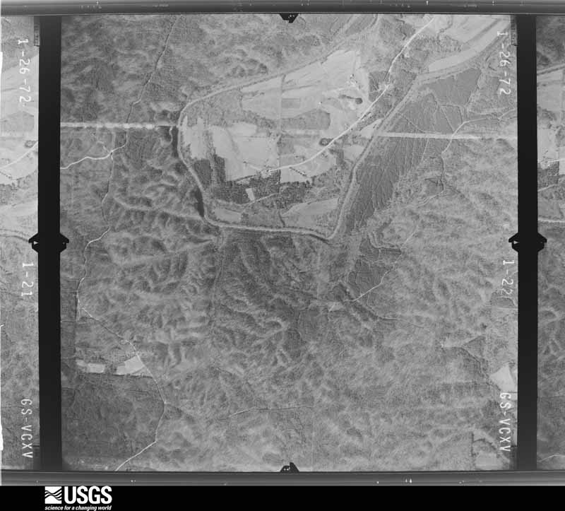
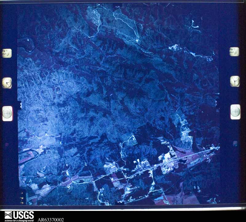
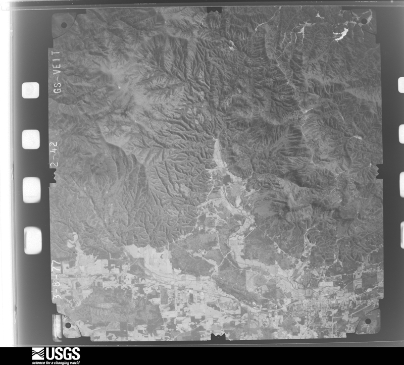
Flown by the U.S. Geological Survey between 1937 and 1989, the Aerial Photo Single Frames collection is the definitive mid-century view of the land: fields, roads and rivers as the camera saw them. The Survey holds 409 frames inside the rectangle that bounds this county; the 22 frames below were taken over the county itself, chosen across the decades of flights (at most four a year from that rectangle), so one flight cannot crowd out the rest. The full set is free to browse and download at EarthExplorer under the dataset Aerial Photo Single Frames.





The thermometers that kept this county's weather, and the gages that measured the flow of its streams, as the federal records hold them. The extremes below are measured values from those records, not estimates.
Who lived here in 1950, one enumeration district at a time, as the Census Bureau described each district. Each row opens its official National Archives result, with Population Schedules and ED Maps available there.
Every wildfire the federal occurrence database records inside this county: 1,335 of them, burning about 5,681 acres. 37 started naturally and 258 were recorded as arson. Each settlement page carries the fires within five miles of it.
| Reported cause | Fires |
|---|---|
| Debris and open burning | 708 |
| Arson/incendiarism | 258 |
| Missing data/not specified/undetermined | 125 |
| Misuse of fire by a minor | 87 |
| Equipment and vehicle use | 43 |
| Natural | 37 |
| Recreation and ceremony | 36 |
| Railroad operations and maintenance | 25 |
| Smoking | 14 |
| Power generation/transmission/distribution | 1 |
| Fireworks | 1 |
The five largest, by the area the report gives. One of them was set deliberately.
| Date | Cause | Size | Reported by | Name on the report |
|---|---|---|---|---|
| 15 March 1994 | Debris and open burning | 200 acres | Chattahoochee-Oconee National Forest | MILLER BR |
| 5 December 2006 | Missing data/not specified/undetermined | 196 acres | Georgia Forestry Commission | not named |
| 5 December 2006 | Equipment and vehicle use | 190 acres | Chattahoochee-Oconee National Forest | RIDLEY BRANCH |
| 15 March 2006 | Debris and open burning | 177 acres | Georgia Forestry Commission | not named |
| 8 November 2016 | Natural | 160 acres | Georgia Forestry Commission | FY2017-MURRAY-025 |
| 26 February 2017 | Recreation and ceremony | 129 acres | Chattahoochee-Oconee National Forest | MUSKRAT ROAD |
| 23 November 1999 | Arson/incendiarism | 120 acres | Georgia Forestry Commission | not named |
| 6 April 2002 | Debris and open burning | 110 acres | Chattahoochee-Oconee National Forest | FORT MTN. ESTATES |
Every settlement page carries the fires within five miles of it - see the settlement index below.
The NOAA Storm Events Database holds 215 reports for this county, causing 9 deaths, 63 injuries and about $7,133,050 in recorded property damage. Each settlement page carries the reports that name it.
| Kind of event | Reports |
|---|---|
| Thunderstorm Wind | 115 |
| Hail | 56 |
| Flash Flood | 16 |
| Tornado | 13 |
| Lightning | 7 |
| Flood | 4 |
| Heavy Rain | 4 |
The most serious of them, by death, then injury, then recorded damage. The accounts are quoted exactly as the forecast office filed them.
| When | Event | Place named | Harm | What the report says |
|---|---|---|---|---|
| April 2020 | Tornado (EF2) | Treadwell | 8 killed, 24 hurt, $500,000 | A National Weather Service survey found that an EF2 tornado with maximum winds of 135 mph and a maximum path width of 860 yards occurred in Murray County. The tornado touched down along Mitchell Bridge Road, just northwest of the Indian Trace Golf Course where several trees were snapped. The tornado moved northeast crossing Highway 286 and Twin Lakes Road where a few trees were snapped or uprooted and|minor damage occurred to several homes. The tornado appeared to briefly strengthen around Ellis Circle where there was more notable exterior damage to homes and a greater number of trees uprooted. As the tornado continued northeast crossing Fullers Chapel Road, noticeable strengthening occurred. Aerial drone footage showed a wide swath of large trees blown down just before Norton Bridge Road. At least 8 double-wide manufactured homes were completely destroyed along Deer Park Drive, with several others sustaining some degree of damage. It was here the tornado quickly strengthened to EF2 intensity with winds around 125 MPH. Similar, significant, damage was seen along Ridgeview Lane and Fieldview Court, where additional manufactured homes were destroyed and a recently built cell tower was left crumpled by the intense winds. At this point, the tornado reached its peak intensity with maximum wind speeds around 135 MPH. The tornado maintained its EF2 intensity as it crossed over Zion Church Hill Road, just before Highway 225. As the strong tornado crossed Highway 225, a small single-family home was heavily damaged with just a couple of interior walls left standing. Along Jim Petty Road, 4 large chicken houses were damaged or destroyed with the debris thrown several hundred yards away. Further north along Jim Petty Road, near Hawkins Road, the damage appeared to lessen quickly with just a few trees blown down and minor roof damage to a shed. Some additional damage, mainly trees being snapped or uprooted, was seen along Halls Chapel Road, just before Temple Grove road. The tornado lifted just beyond this point, along Sumac Ridge. Eight people were killed and around 2 dozen injured in the area between Fullers Chapel Road and Jim Petty Road. [04/12/20: Tornado #2, County #1/1, EF-2, Murray, 2020:008]. |
| April 1974 | Tornado (F4) | not stated | 1 killed, 2 hurt, $250,000 | no account filed |
| April 1974 | Tornado (F4) | not stated | 15 hurt, $2,500,000 | no account filed |
| April 1998 | Tornado (F1) | Cisco | 10 hurt, $200,000 | An apparent tornado touched down briefly, hitting a mobile home park in the Temple Grove, Higdon Road, and Turvey-Nichols Road areas in Cisco. Seven mobile homes were destroyed, 2 received major damage and 6 minor damage. One home had major structural damage and 14 had minor damage. Roofs were blown off houses and trees were scattered like toothpicks. There were no serious injuries, but 6 people were taken to the medical center, where they were treated and released. The intensity, width, and length were estimated. |
| April 1997 | Tornado (F0) | Chatsworth | 3 hurt, $100,000 | no account filed |
| April 1997 | Tornado (F0) | Sugar Creek | 3 hurt, $100,000 | no account filed |
| July 2018 | Thunderstorm Wind | Oran | 3 hurt, $75,000 | The Murray County Emergency Manager reported numerous trees blown down across the west side of Chatsworth from the Wildwood Estates neighborhood to the Springdale Estates neighborhood. A few homes received damage from falling trees. On Mary Avenue a tree fell onto a home trapping a family of 4 inside. Three family members were transported to the hospital with injuries, including a laceration to the head. |
| July 2003 | Thunderstorm Wind | Ramhurst | 2 hurt, $25,000 | The Murray county 911 center, the public, and the Daily Citizen of Dalton reported that a number of trees were blown down across the southern portion of the county, especially from Holley to Ramhurst and southward to the Gordon county line. The greatest damage appeared to be in the area between Ramhurst and Carters Lake, along old U.S. Highway 411 and Georgia Highway 136, where a number of large trees, some greater than two feet in diameter, were blown down onto the highways and several surrounding roads. County workers spent seven or more hours clearing the fallen trees from the roads. CSX railroad tracks in the area were also blocked for hours because of downed trees. Two women in the area were injured when a tree fell on them. Several large trees were also reported to have been blown down in the Holley area. Several thousand people in the county were left without power for several hours during the event. |
| April 1993 | Thunderstorm Wind | Chatsworth | 1 hurt, $5,000 | Thunderstorm winds downed several large trees and downed power lines along Georgia Highway 225. One man was injured from wind blown debris. |
| June 1994 | Tornado (F1) | Chatsworth | $500,000 | A brief tornado touched down and severely damaged a carpet mill on Duvall Road. The carpet mill had its roof removed and one wall blown down which caused approximately 100,000 dollars worth of damage.,, |
| July 2001 | Flash Flood | Countywide | $300,000 | The Dalton Daily Citizen, and other local newspapers, reported that extensive flooding was caused by up to 3 inches of rain in less than 2 hours. Flooding caused damage to businesses and residences alike. Damages to businesses were concentrated in Chatsworth, where up to twelve stores were flooded in the Murray Plaza Shopping Center. Water was reported to have been 6 inches deep in most of these businesses. Several homes were also flooded in Chatsworth, Eton, and scattered in other areas of the county, especially near the Tennessee border. Ten people had to be evacuated from a flooded mobile home park near the Tennessee border. |
| September 2009 | Lightning | Chatsworth | $250,000 | The Daily Citizen of Dalton reported that lightning struck and set the Rock Building on fire. This was the site of the first high school in Murray County. The building was completely destroyed from the fire. |
| May 2003 | Flash Flood | Countywide | $250,000 | The Murray county 911 center reported that a majority of the roads in the county were flooded out, several were completely inundated with water and were impassable. One family in the county has to be rescued from a flooded home. |
| February 1991 | Tornado (F1) | not stated | $250,000 | no account filed |
| April 1977 | Tornado (F1) | not stated | $250,000 | no account filed |
| April 2006 | Hail | Chatsworth | $200,000 | Numerous reports of hail ranging in size from pennies to quarters were received from the public from Chatsworth, Eton, and north of Ramhurst. One report of golf ball-sized hail was received from the public in Chatsworth. In addition, an amateur radio operator reported nickel-sized hail near Eton and estimated wind gusts at 66 mph. |
| November 1996 | Thunderstorm Wind | Eton | $200,000 | no account filed |
| June 2002 | Hail | Eton | $120,000 | Several amateur radio operators and the public reported that hail, ranging in size from dimes to golf balls, fell from 10 to 12 minutes and accumulated up to four inches deep on the ground in some spots. The hail damaged several cars and roofs of homes. In addition, the hail stripped trees and damaged corn crops in the area. |
| March 2017 | Tornado (EF1) | Spring Place | $100,000 | A National Weather Service survey team found that an EF-1 tornado with peak winds of 85 to 90 MPH traveled just under 3 miles across northern Chatsworth in Murray County. The tornado touched down just east of Highway 225 destroying a barn on Dogwood Circle. The tornado continued moving east striking a tractor-trailer storage facility along Lowy Road where it overturned a trailer and snapped or uprooted numerous trees. Continuing east, the tornado struck an industrial building at the intersection of Highland Road and Treadwell Road, peeling back a large section of the roof. An apartment complex across Treadwell Road suffered significant shingle damage and some minor structural damage to the roof. The tornado continued moving east snapping or uprooting trees along Keller Drive and then hit Murray County High School at Green Road and Old Dalton Ellijay Road. The tornado caused significant damage to the baseball fields blowing down a fence and a cinderblock wall and throwing a portion of the bleachers onto the field. The press box also sustained damage. The tornado continued east along West Chestnut Street uprooting and snapping trees, blowing a fence down and collapsing a carport onto a car and a house before dissipating as it reached Highway 411, or North 3rd Avenue. [03/01/17: Tornado #1, County #1/1, EF-1, Murray, 2017:030]. |
| July 2004 | Thunderstorm Wind | Chatsworth | $100,000 | The Daily Citizen of Dalton reported significant damage to trees and power lines in the Chatsworth area from thunderstorm winds. At one residence, nine trees were blown down, one causing minor damage to the roof. Another tree fell across the Mason apartments on Mount Carmel Road. Part of the tree went through the kitchen of one of the apartments. The tree also caused damage to the roof and other structural damage to the building. Two families were forced to relocate as a result of the damage. The strong winds and downed trees also knocked a power pole adjacent to the building down onto the apartments. Elsewhere in the county, at least eight roads were blocked by downed trees. |
| July 2005 | Flash Flood | South Portion | $75,000 | The Daily Citizen of Dalton reported that rainfall of five to six inches or more across the southern portion of the county resulted in considerable flooding. Much of the flooding was associated with Holly Creek in the southern portion of the county. Water was flowing over a bridge on Old Federal Road. Several other roads and a number of homes were also flooded in the area. |
| June 2006 | Lightning | Countywide | $50,000 | The Chatsworth Times reported that lightning strikes from repeated thunderstorms across the area during the evening hours caused damage at several locations. The most substantial damage was to a home on Green Road in Chatsworth. The lightning put a hole through a brick wall and set the insulation in the attic on fire. Elsewhere in the county, two trailers were set on fire by lightning, neither was completely destroyed, but both suffered considerable interior damage. Lightning also set a electrical transformer on fire at the Murray County High School. |
| June 2002 | Thunderstorm Wind | Chatsworth | $50,000 | The Daily Citizen newspaper of Dalton reported that numerous trees and power lines were blown down across the southern portions of the county. In addition, a tree fell on a trailer home and a limb fell on a pickup truck on Georgia Highway 52. Approximately 1000 residences were left without power much of the evening and about 100 remained without power well into the next day. Consequently, several businesses were forced to close for the next day. Power crews had difficulty restoring power to some locations because of tree debris blocking roads. |
| March 2010 | Hail | Chatsworth | $45,000 | The public observed golf ball-sized hail near Eton and quarter-sized hail west of Chatsworth. Radar data suggests that at least quarter-sized hail continued east to northeast of Eton to near Conasauga Lake on the eastern border of the county. |
| May 2006 | Hail | Fort Mountain | $40,000 | Personnel at the Cohutta Lodge at Fort Mountain State Park observed golf ball-sized hail. |
| July 2004 | Lightning | Chatsworth | $40,000 | The Daily Citizen newspaper of Dalton reported that lightning struck the radio tower of the county's 911 center causing extensive damage to radio and electronic equipment at the facility. Two antennas were damaged, two dispatch consoles, security cameras, computer equipment, and a backup generator. Two vehicles adjacent to the building were damaged by debris from antennas which fell during the lightning strike. |
| April 2013 | Thunderstorm Wind | Chatsworth | $30,000 | The public reported several large trees blown down. One fell on a house. |
| February 1999 | Lightning | Chatsworth | $30,000 | Lightning caused extensive fire damage to a home on Mount Carmel Church Road. |
| June 2015 | Thunderstorm Wind | Eton | $25,000 | The Murray County Emergency Manager reported that metal roofing was blown off of an auto parts business at the corner of Highway 76 and Highway 52 Alternate in Chatsworth. A couple of trees were also blown down in this area. Power lines were blown down along Highway 286 west of Eton. |
| June 2011 | Thunderstorm Wind | Chatsworth | $25,000 | The public and the Murray County 911 Center reported that dozens of trees and power lines were down across the county. |
| September 2004 | Flash Flood | Countywide | $25,000 | The Chatsworth Times reported some flooding in various areas throughout the county. A 100-yard stretch of Carlton Petty Road was washed out and a four-foot culvert of McGill Road near Rock Creek Road was washed out. Several other minor road erosions were observed throughout the county. |
| May 1997 | Flash Flood | Ramhurst | $25,000 | no account filed |
| May 1978 | Tornado (F1) | not stated | $25,000 | no account filed |
| July 1964 | Tornado (F1) | not stated | $25,000 | no account filed |
| November 1957 | Tornado (F1) | not stated | $25,000 | no account filed |
| December 2014 | Thunderstorm Wind | Chatsworth | $15,000 | The Murray County 911 Center reported numerous trees and power lines down across Chatsworth and southwest Murray County, including a tree down on a trailer on Elm Street and a roof blown off of a building on 3rd Avenue. |
| July 2010 | Thunderstorm Wind | Spring Place | $15,000 | The Murray County 911 Center reported that thunderstorm downburst winds blew down at least six trees southwest of Chatsworth near the intersection of Georgia Highway 225 and New Hope Church Road. In addition, a portion of the roof of a home was ripped off. Several large tree limbs were also down, falling on and causing damage to some vehicles. |
| April 2009 | Thunderstorm Wind | Cisco | $15,000 | The Murray County Emergency Management Director reported that several trees were blown down scattered about the county. The roof was blown off the porch of a mobile home and a portion of the siding was also off the home south of Chatsworth near the intersection of Smyrna Church Road and Blackwell Drive. |
| May 2008 | Thunderstorm Wind | Ramhurst | $15,000 | The local newspaper from Chatsworth reported that an apparent downburst or microburst caused up to two dozen trees to be blown down in the area between Ramhurst and Dennis in southeast Murray county. Most of the damage was along Old U.S. Highway 411. In addition, a couple of barns and a storage shed were destroyed. |
| July 2023 | Thunderstorm Wind | Chatsworth | $10,000 | Reports of numerous trees down across Murray County. |
| May 2003 | Thunderstorm Wind | Countywide | $10,000 | The public reported that a number of trees were blown down throughout the county. Local newspapers also reported that a number of trees and power lines were knocked down in the county. |
| July 1997 | Thunderstorm Wind | Chatsworth | $10,000 | Thunderstorm winds knocked down a couple of trees on Shield Road. A large tree was uprooted and fell on two cars in Rocky Face. |
| June 2016 | Thunderstorm Wind | Chatsworth | $8,000 | The Murray County 911 center reported power lines blown down in Chatsworth and trees blown down around the intersection of Old Highway 411 and Highway 282. |
| August 2015 | Thunderstorm Wind | Spring Place | $7,000 | An amateur radio operator reported utility lines down on Spring Place Smyrna Road near Leonard Bridge Road. |
| April 2011 | Thunderstorm Wind | Ramhurst | $7,000 | The Murray County 911 Center reported that several trees and power lines were down throughout the county. |
| July 2015 | Thunderstorm Wind | Chatsworth | $6,000 | The Murray County 911 Center reported several trees blown down in the Chatsworth area including on Highway 411 north and south and on Highway 52 Alternate. |
| November 2011 | Thunderstorm Wind | Eton | $6,000 | The Murray County 911 Center reported that 15 to 20 trees were down across the northern part of Chatsworth, mostly near Old Federal Road North. No structural damage was reported. |
| November 2018 | Thunderstorm Wind | Chatsworth | $5,000 | The Murray County Emergency Manager reported trees and power lines blown down in south Chatsworth from around the intersection of Highway 411 and Leonard Bridge Road to around the intersection of Red Road and Railroad Road. |
| August 2018 | Thunderstorm Wind | Cisco | $5,000 | The Murray County Emergency Manager reported multiple power lines blown down between Cisco and Tennga along Shields Road and Tennga Gregory Road. |
| April 2011 | Thunderstorm Wind | Ramhurst | $5,000 | The Murray County 911 Center reported that several trees were down across the southern half of the county. |
| August 2010 | Thunderstorm Wind | Ramhurst | $5,000 | The Murray County 911 Center reported that the roof was blown off a barn near the intersection of Maple Grove and Church Roads in the far southern part of the county, south of Ramhurst. Three trees were also down in this same general area. |
| January 2009 | Flood | Gregory | $5,000 | The Dalton Citizen of Dalton reported that heavy rain caused several creeks and streams across the county to overflow their banks. High water forced the closure of several roads. Approximately 4000 acres of the Perry Farm were flooded by the Conasauga River and Sumach Creek when they came out of their banks. Mill Creek rose out of its banks and flooded a trailer park on Third Avenue. Norton Bridge on the north end of the county was flooded and had to be closed as well as parts of Georgia Highway 225 North above Red Cut Road and Patricia Avenue in Spring Place. Also on Georgia Highway 255, saturated soil from the heavy rain caused a tree to fall on the road blocking the highway in both directions between Spring Place and Central for more than an hour. In addition, several pastures on Maddox Mill Road were flooded by Cohulla Creek. Two men stranded in high water near Old Georgia Highway 2 in Cisco had to be rescued and two other men had to be rescued from rising waters while boating down Jacks River. All were rescued without injury or incident. |
| September 2009 | Flood | Sinclair Lake | $5,000 | The USGS stream gage on the Conasauga River near Eton reached its flood stage of 12.0 feet at 630 pm EDT. The river runs along the Murray/Whitfield county line. The river remained above flood stage through 915 pm EDT. Monetary damage from this flooding was confined to minor debris removal to land adjacent to the river. No siginficant property damage was reported. |
| June 2008 | Lightning | Carters | $5,000 | The Murray County 911 Center reported that lightning struck a home in the Carters Lake area. No significant damage was reported. |
| July 2008 | Thunderstorm Wind | Cisco | $5,000 | The Murray County 911 Center reported that many trees and power lines were down across the county. Radar data suggests that most of this occurred in the western half of the county. |
| September 2007 | Lightning | Chatsworth | $5,000 | The Murray County Emergency Management Director reported that lightning struck the fire station. Several radios and computers were damaged. |
| August 2006 | Thunderstorm Wind | Chatsworth | $5,000 | The Daily Citizen of Dalton reported that a tree fell on a home on Harrier's Way during a strong thunderstorm. The tree caused some minor damage to the structure. |
| April 2005 | Thunderstorm Wind | Chatsworth | $5,000 | The Murray County 911 Center reported that three trees were blown down and a roof was blown off a minor structure. A trained spotter reported that wind gusts were estimated at 60 mph. |
| July 2003 | Flash Flood | South Portion | $5,000 | The Murray county 911 center reported that several roads in the south part of the county were flooded with water flowing over the roads. |
| May 2003 | Flash Flood | Countywide | $5,000 | The Murray county 911 center reported that a number of roads across the county were flooded and impassable. In addition, several creeks and streams were out of their banks. |
The Survey's mineral resources record lists 51 workings inside this county. 4 still produce and 47 are closed or unrecorded. Each settlement page carries the workings within five miles of it.
| Commodity | Workings |
|---|---|
| Talc-Soapstone | 19 |
| Iron | 16 |
| Stone, Crushed/Broken | 5 |
| Manganese | 4 |
| Barium-Barite | 2 |
| Copper | 1 |
| Manganese, Iron | 1 |
| Lead | 1 |
| Iron, Manganese | 1 |
The least common of them first, because a county's hundredth gravel pit says nothing its first ten did not.
| Where | Site | Commodity | Status | Recorded |
|---|---|---|---|---|
| Earnest Galena Prospect | Lead | Prospect | ||
| Green Property | Manganese, Iron | Unknown | 1918 | |
| Mill Creek Copper Prospect | Copper | Occurrence | ||
| Powell Property | Iron, Manganese | Prospect | 1919 | |
| C.C.Keith Property | Barium-Barite | Past Producer | ||
| W.F.Hampton Property | Barium-Barite | Occurrence | ||
| J.F.Love Property | Iron, Manganese | Prospect | ||
| Miller Property | Manganese | Prospect | 1919 | |
| Silver Property | Manganese | Occurrence | 1919 | |
| White Property | Manganese | Occurrence | 1919 | |
| Chatsworth Mine | Stone, Crushed/Broken | Producer | ||
| Farrar Tripoli Prospect | Stone, Crushed/Broken | Prospect | ||
| Fort Mountain Stone Quarry | Stone, Crushed/Broken | Past Producer | ||
| Hayes Rock Mine | Stone, Crushed/Broken | Past Producer | ||
| Southern Talc Slate Pit | Stone, Crushed/Broken | Past Producer | ||
| C.C. and J.H. Keith Property | Iron | Past Producer | ||
| Doogan Mt. Distr. | Iron | Past Producer | Residual | |
| F.M.Powell Property | Iron | Unknown | ||
| Hickey Property Mine-A? | Iron | Past Producer | Residual | |
| J.K. Keith Property | Iron | Past Producer | ||
| J.W.Coffey Property | Iron | Occurrence | ||
| Jessf Jackson Property | Iron | Occurrence | ||
| John Johnson Prospect | Iron | Occurrence | ||
| Keith Property | Iron | Past Producer | Residual | |
| Lafollette Coal and Iron Co Prosp | Iron | Prospect | ||
| Mrs.W.R.Davis Property | Iron | Occurrence | ||
| Poteet Property | Iron | Past Producer | Residual | |
| Poteet Property | Iron | Prospect | ||
| R.H.Oneal Property | Iron | Past Producer | ||
| W R Rymer Property | Iron | Prospect | ||
| Bramlet Mine and Prospect | Talc-Soapstone | Past Producer | ||
| Chicken Creek Mine | Talc-Soapstone | Past Producer | ||
| Cohutta Mill | Talc-Soapstone | Past Producer | ||
| Cohutta Mine | Talc-Soapstone | Past Producer | ||
| Earnest Mine | Talc-Soapstone | Past Producer | ||
| Fields Prospect | Talc-Soapstone | Prospect | ||
| Fort Mountain Mine | Talc-Soapstone | Past Producer | ||
| Georgia Mine | Talc-Soapstone | Past Producer | ||
| Georgia Talc Mine | Talc-Soapstone | Past Producer | ||
| Hammock Prospect | Talc-Soapstone | Prospect | ||
| Latch Mine | Talc-Soapstone | Past Producer | ||
| Lindsey Mine | Talc-Soapstone | Producer | ||
| Old Cohutta Mine | Talc-Soapstone | Past Producer | ||
| Pickering Mine | Talc-Soapstone | Past Producer | ||
| Rock Cliff Mine | Talc-Soapstone | Producer | ||
| Rock Creek Road Prospect | Talc-Soapstone | Prospect | ||
| Russel Prospect | Talc-Soapstone | Prospect | ||
| Slate Pit | Talc-Soapstone | Past Producer | ||
| Southern Mill | Talc-Soapstone | Producer | ||
| Eton Distr.-A | Past Producer | Residual | ||
| Eton Distr.-B | Past Producer | Residual |
Named settlements recorded in the Geographic Names Information System, each with the topographic sheets covering it. Villages, hamlets and abandoned places alike. Each is shown with the nearest named watercourse or landform and the survey quadrangle it falls on.
Casey Springs census division · 30705 · On Little Sugar Creek · Calhoun NE quadrangle
19 sheets, 1886 to 1981
Chatsworth census division · 30705 · On Mineral Springs Branch · Ramhurst quadrangle
19 sheets, 1886 to 1981
Chatsworth census division · 30705 · On Willbanks Branch · Oakman quadrangle
19 sheets, 1886 to 1981
Chatsworth census division · 30705 · On Rock Creek · Chatsworth quadrangle
21 sheets, 1886 to 1981
Crandall-Eton census division · 30711 · On Cohutta Springs Branch · Tennga quadrangle
22 sheets, 1886 to 1997
Chatsworth census division · 30705 · On Mineral Springs Branch · Ramhurst quadrangle
19 sheets, 1886 to 1981
Crandall-Eton census division · 30711 · On Cohorn Branch · Crandall quadrangle
21 sheets, 1886 to 1981
Crandall-Eton census division · 30705 · Near Camp Ground Mountain · Chatsworth quadrangle
21 sheets, 1886 to 1981
Chatsworth census division · 30705 · On Rock Creek · Chatsworth quadrangle
21 sheets, 1886 to 1981
No longer a settlement
Chatsworth census division · 30705 · On Mill Creek · Crandall quadrangle
21 sheets, 1886 to 1981
Casey Springs census division · 30705 · On Rock Branch · Calhoun NE quadrangle
19 sheets, 1886 to 1981
Crandall-Eton census division · 30711 · On Muddy Branch · Tennga quadrangle
22 sheets, 1886 to 1997
No longer a settlement
Chatsworth census division · 30705 · Near Camp Ground Mountain · Chatsworth quadrangle
21 sheets, 1886 to 1981
Crandall-Eton census division · 30705 · On McIntire Branch · Beaverdale quadrangle
19 sheets, 1886 to 1981
Casey Springs census division · 30705 · On Little Sugar Creek · Calhoun NE quadrangle
19 sheets, 1886 to 1981
No longer a settlement
The vanished settlements of Murray County: the places named above that are no longer on the map.
The complete index, with nothing left out. Each of these is a separate record with its own page: a federal survey report, or the case file that argued a property on to the National Register. Both are public domain and reproduced word for word.
The vanished settlements of Murray County, the places these records name that are no longer on the map.