 Block
Trickum, Georgia
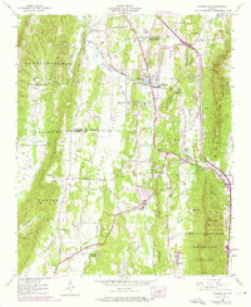
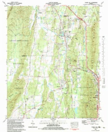
25 topographic sheets cover this place, the earliest surveyed in 1886 and the latest in 1983. It stands in the West Whitfield census division. It lies in ZIP code area 30740. It stands on Hopkins Branch. The Survey maps it on the Tunnel Hill quadrangle.
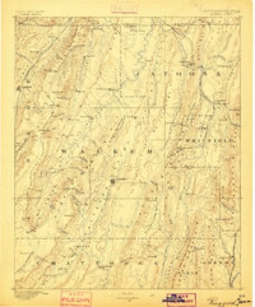
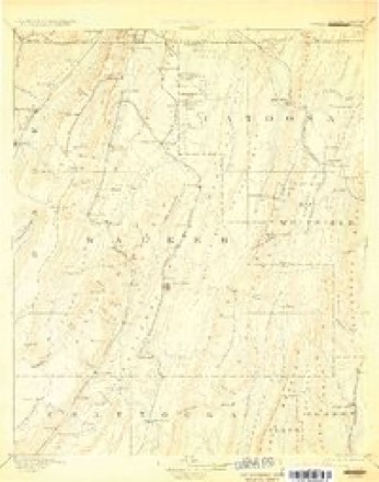
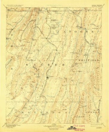
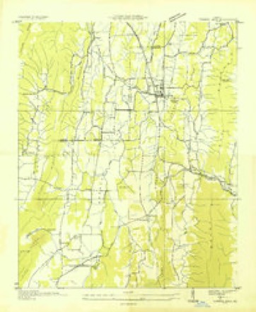
Topographic sheets covering this place
11 surveys from 25 printed sheetsMatched by testing this settlement's coordinate against the published boundary of every sheet in the United States Geological Survey's historical collection. Each opens the scanned sheet at the Survey.
- 1886 USGS Ringgold quadrangle1:125000
- 1892 USGS Catoosa quadrangle1:125000, 2 printings
- 1892 USGS Ringgold quadrangle1:125000, 7 printings
- 1935 USGS Tunnel Hill quadrangle1:24000
- 1943 USGS Tunnel Hill quadrangle1:24000, 5 printings
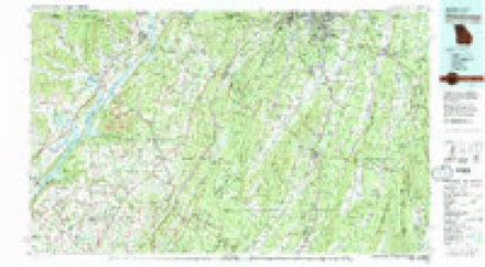
- 1955 USGS Rome quadrangle1:250000
- 1958 USGS Rome quadrangle1:250000, 3 printings
- 1961 USGS Rome quadrangle1:250000
- 1963 USGS Rome quadrangle1:250000
- 1981 USGS Chickamauga quadrangle1:100000, 2 printings
- 1983 USGS Tunnel Hill quadrangle1:24000




Fires near this place
338 since 1992Regional context, not property-specific evidence. The federal wildfire occurrence database lists 338 fires within 5 miles of Trickum between 1992 and 2020, burning about 2,904 acres in total. 6 started naturally. 55 were recorded as arson. Distance is straight-line from the map coordinates, so a fire counted here may appear on a neighbouring settlement's page as well.
| Reported cause | Fires |
|---|---|
| Debris and open burning | 197 |
| Arson/incendiarism | 55 |
| Equipment and vehicle use | 26 |
| Misuse of fire by a minor | 23 |
| Missing data/not specified/undetermined | 15 |
| Recreation and ceremony | 10 |
| Smoking | 6 |
| Natural | 6 |
The most recent of them, most recent first, with the day each was reported and the service that recorded it.
| Date | Cause | Size | Reported by | Name on the report |
|---|---|---|---|---|
| 8 September 1999 | Debris and open burning | under an acre | Georgia Forestry Commission | not named |
| 6 September 1999 | Equipment and vehicle use | under an acre | Georgia Forestry Commission | not named |
| 6 September 1993 | Missing data/not specified/undetermined | under an acre | Georgia Forestry Commission | not named |
| 5 September 1995 | Debris and open burning | under an acre | Georgia Forestry Commission | not named |
| 30 September 1997 | Debris and open burning | under an acre | Georgia Forestry Commission | not named |
| 30 September 1993 | Debris and open burning | under an acre | Georgia Forestry Commission | not named |
| 26 September 1993 | Debris and open burning | 34 acres | Georgia Forestry Commission | not named |
| 24 September 2010 | Debris and open burning | 2.0 acres | Georgia Forestry Commission | FY2011-WHITFIELD-009 |
Settlements close enough to share some of these fires:
Mines and quarries near this place
1 within 5 milesRegional context, not property-specific evidence. The federal mineral resources record lists 1 working within 5 miles of Trickum: 1 occurrence. None of them still produces. What was taken out: Manganese. Distance is straight-line from the map coordinates, so a quarry counted here may appear on a neighbouring settlement's page as well.
| Where | Site | Commodity | Status | Recorded |
|---|---|---|---|---|
| Catoosa Mining Co Prospects | Manganese | Occurrence |
Storms near this place
13 since 2009Regional context, not property-specific evidence. The National Weather Service names Trickum in 13 storm reports between 2009 and 2025: 12 thunderstorm wind, 1 flash flood. No death or injury is recorded in these reports. Each account below is quoted exactly as the forecast office filed it, from the NOAA Storm Events Database, and each date opens the federal record of that event.
| When | Event | Place named | Harm | What the report says |
|---|---|---|---|---|
| March 2010 | Thunderstorm Wind | Trickum | $75,000 | A damage survey conducted by the National Weather Service Forecast office in Peachtree City, Georgia confirmed that extensive damage to trees and property southwest of Tunnel Hill was the result of a thunderstorm downburst with wind gusts estimated to be 70 mph. The wind was also accompanied by 1/4 to 1/2 inch-diameter hail and very heavy rain. The hail lasted up to five minutes at several spots along the path of the downburst and accumulated up to a depth of 12 to 18 inches at some locations. Some of the hail was still on the ground up to 6 hours later. The downburst affected a 3-mile long and 1-mile wide area, beginning near the intersection of Dogwood Valley Road and Houston Valley Road and ending near the intersection of Cottonwood Mill Road and Mount Vernon Road. At least 100 trees were down along the path of the downburst. Two mobile homes suffered extensive damage as a result of the downed trees. Tin roofs were torn off a few barns. Several homes sustained at least minor shingle damage. |
| August 2016 | Thunderstorm Wind | Trickum | $15,000 | The Whitfield County Emergency Manager reported several trees blown down across the county, including on Mill Creek Road, Beaverdale Road, Tate Road, McArthur Road and Lafayette Road at Old Ringgold Road. A tree was blown down onto a house on Pat Cleburne Lane in Tunnel Hill. |
| September 2009 | Flash Flood | Trickum | $15,000 | The Whitfield County Emergency Management Director reported significant flash flooding in many parts of the county. Several roads west of Rocky Face were flooded and closed as creeks exceeded flood stage in the area. Dogwood Valley Road and Dunnigan Road were among some of the more significant roads closed in the area. Many schools in the county were closed for at least two days because of impassable roads. Monetary damage to roads, bridges, and culverts was estimated at $15,000. |
| May 2025 | Thunderstorm Wind | Trickum | $10,000 | Emergency manager reported multiple trees down along Houston Valley Rd, most concentrated in the vicinity of Deerfield Way, Crane Way, and Valley Way. |
| June 2018 | Thunderstorm Wind | Trickum | $8,000 | The Whitfield County 911 center reported trees and power lines blown down from southwest of Rocky Face near the intersection of Lafayette Road and Logan Road to northwest of Dalton around the intersection of Crow Valley Road and Ashton Woods Way to Varnell near the intersection of Suffolk Way and Palomino Drive. |
| March 2017 | Thunderstorm Wind | Trickum | $5,000 | The Whitfield County Emergency Manager reported several trees blown down around the 1400 block of LaFayette Road. . |
| March 2021 | Thunderstorm Wind | Trickum | $3,000 | The Whitfield County Emergency Manager reported a few trees blown down around the intersection of LaFayette Road and McArthur Road. |
| June 2020 | Thunderstorm Wind | Trickum | $3,000 | The Whitfield County Emergency Manager reported a few trees blown down from west of Dalton near the intersection of LaFayette Highway and Old Ringgold Road to Old Praters Mill Road east of Varnell. |
| August 2024 | Thunderstorm Wind | Trickum | $1,000 | Large tree blocking both lanes of traffic near the intersection of kala wy and old ringgold rd. |
| August 2024 | Thunderstorm Wind | Trickum | $1,000 | Tree reported down across the road near the intersection of lafayette rd and mcarthur rd. |
| May 2024 | Thunderstorm Wind | Trickum | $1,000 | A tree was downed on Houston Valley Rd at Vaughn Drive. |
| May 2024 | Thunderstorm Wind | Trickum | $1,000 | A tree was downed on Lafayette Rd at Logan Rd. |
| May 2024 | Thunderstorm Wind | Trickum | $1,000 | A tree was downed on Dunnagan Rd at Lafayette Rd. |
Nearest settlements
The eight closest, with where each one stands in the county. Distances are straight-line, computed from the Geographic Names Information System coordinates.
| Map | Place | Distance | Sheets |
|---|---|---|---|
| Mount Vernon | 1.8 miles | 25 | |
| Callaway Mill | 2.8 miles | 25 | |
| Rocky Face | 3.0 miles | 25 | |
| Hassler Mill | 3.5 miles | 25 | |
| Tunnel Hill | 3.7 miles | 25 | |
| Gordon Springs (historical) | 4.0 miles | 25 | |
| Mill Creek | 4.9 miles | 25 | |
| Dalton | 6.2 miles | 21 |
Elsewhere
Matched on this settlement's Geographic Names Information System number rather than its name, so it cannot be a different place of the same name in another state.
| Wikidata item Q122549213 | The structured record the population and elevation above come from. Public domain (CC0). |
Provenance
This settlement is recorded in the Geographic Names Information System as feature 333262. The sheet list is computed by point-in-boundary test against the United States Geological Survey's historical topographic inventory. Both are works of the United States government and carry no copyright under 17 U.S.C. 105.
Wildfire. Short, Karen C. 2022. Spatial wildfire occurrence data for the United States, 1992-2020 [FPA_FOD_20221014]. 6th Edition. Fort Collins, CO: Forest Service Research Data Archive. https://doi.org/10.2737/RDS-2013-0009.6 Collected with United States Government funding and usable without additional permissions or fees.
Mines and quarries. USGS Mineral Resources Data System (MRDS) https://mrdata.usgs.gov/mrds/ A work of the United States government, no copyright under 17 U.S.C. 105.
Storms. NOAA National Centers for Environmental Information, Storm Events Database https://www.ncei.noaa.gov/stormevents/ A work of the United States government, no copyright under 17 U.S.C. 105. Narratives are quoted verbatim from the National Weather Service report and are not edited or summarised.