 Block
From the record
14 National Register listings published here.
Sources: the National Register database, National Park Service
72 topographic sheets and 9 fire insurance atlases across 1 place.
14 National Register listings published here.
Sources: the National Register database, National Park Service
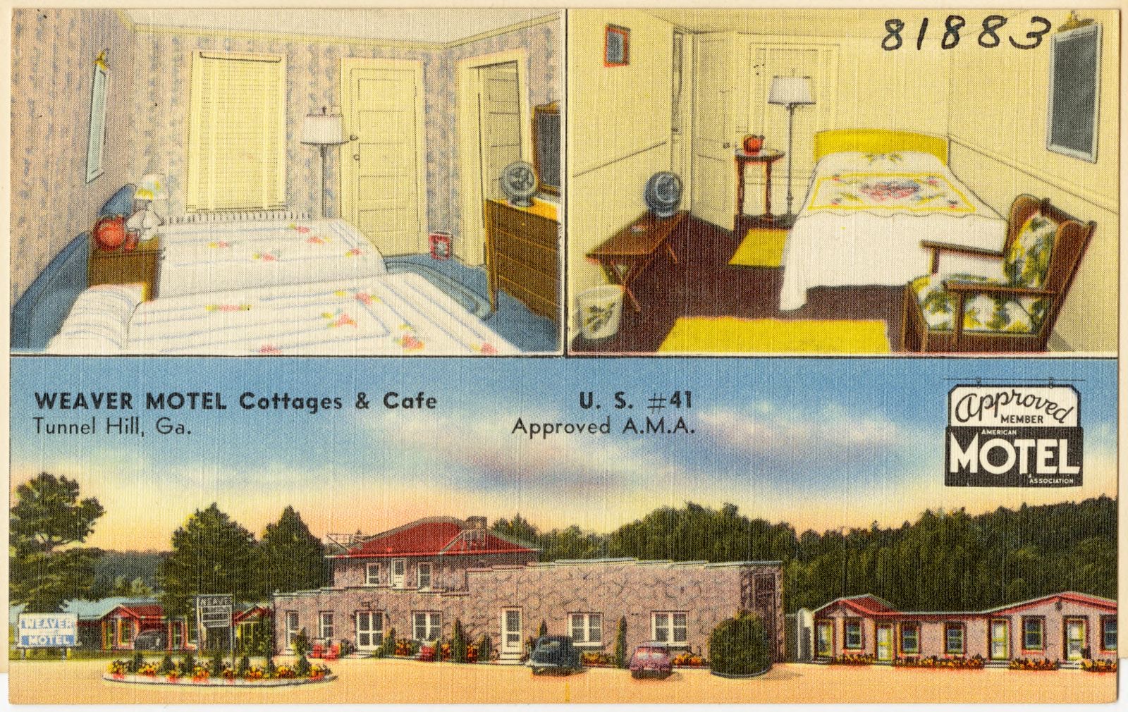
Taken for the Office of War Information and the Farm Security Administration, who photographed the country between 1935 and 1944. Works of United States government photographers, with no known restriction on use. Each opens its catalogue record.
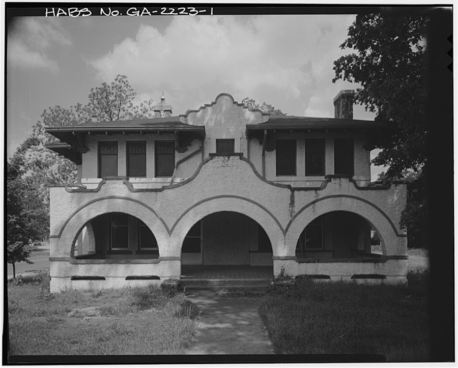
Every property in this county listed on the National Register of Historic Places, with the year it was listed and the federal nomination document.
| Photograph | Property | Type | Listed | Reference |
|---|---|---|---|---|
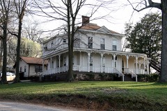 | Thomas A. Berry House | building | 1984 | 84001303 |
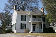 | Ainsworth E. Blunt House | building | 1980 | 80004460 |
| Crown Mill Historic District | district | 1979 | 79000751 | |
 | Dalton Commercial Historic District | district | 1988 | 88001831 |
| Dalton Commercial Historic District (Boundary Increase) | district | 2006 | 06000288 | |
 | William C. Martin House | building | 1982 | 82002497 |
 | Masonic Lodge No. 238 | building | 1996 | 96000127 |
| McCarty Subdivision Historic District | district | 2002 | 02000714 | |
 | Prater's Mill | building | 1978 | 78001010 |
 | A.D. Strickland Store | building | 2005 | 05000405 |
| Thornton Avenue-Murray Hill Historic District | district | 1992 | 92000669 | |
 | Western and Atlantic Depot | building | 1978 | 78001009 |
 | Western and Atlantic Railroad Tunnel at Tunnel Hill | structure | 2002 | 01001431 |
Drawn when these were printed as single large sheets: the town seen from the air, and the county divided into its farms with every owner named. Each opens the original at the Library of Congress.
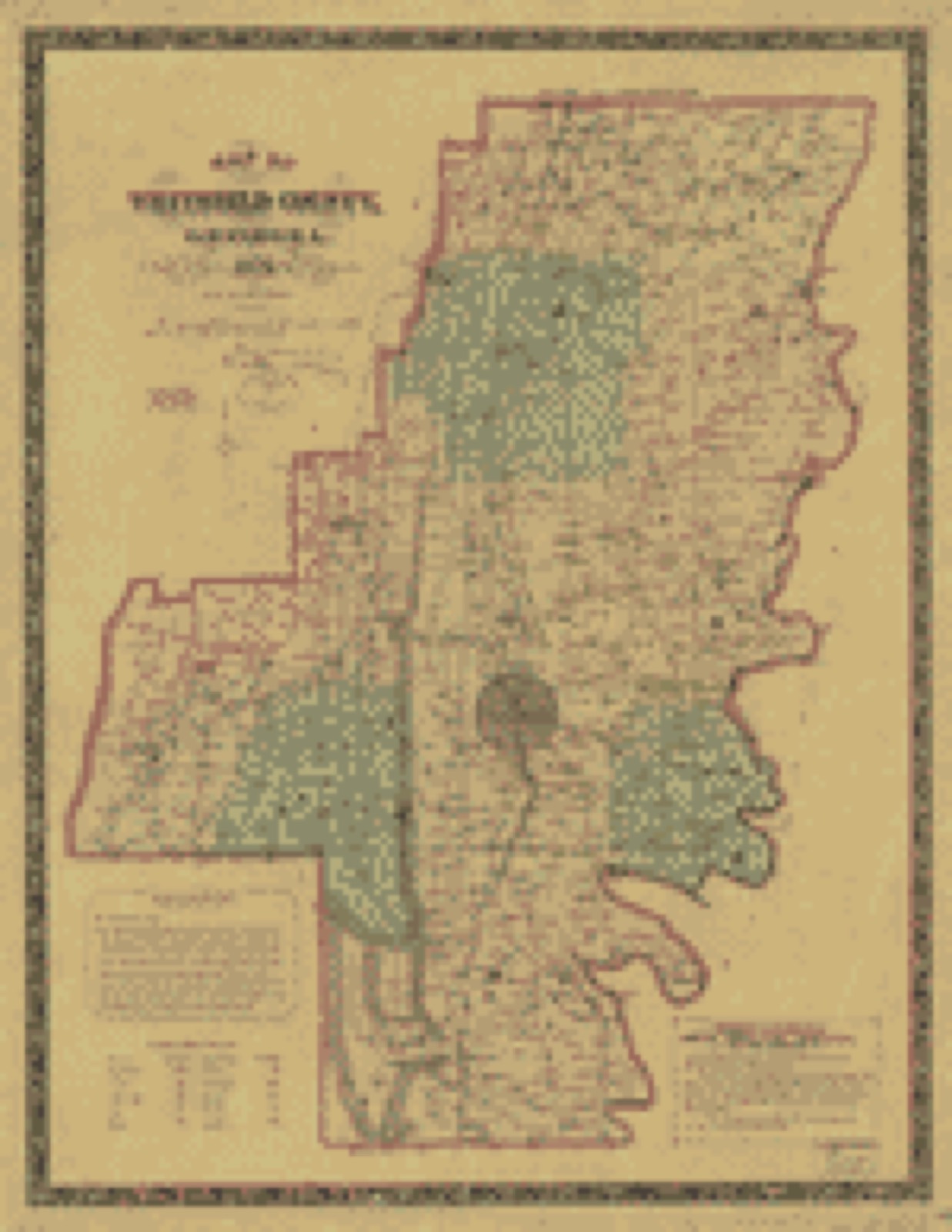
Selected from the Digital Public Library of America's 1 image records catalogued for this county. Every one shown here carries a public-domain status or a licence that permits reuse on a site that carries advertising; non-commercial, share-alike and restricted images are excluded. The selection is spread across the county's towns (at most eight per town), so no single institution's bulk upload crowds out the rest. Each opens the holding library's record, and the complete set at the Digital Public Library of America is one click away.
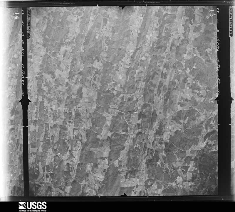
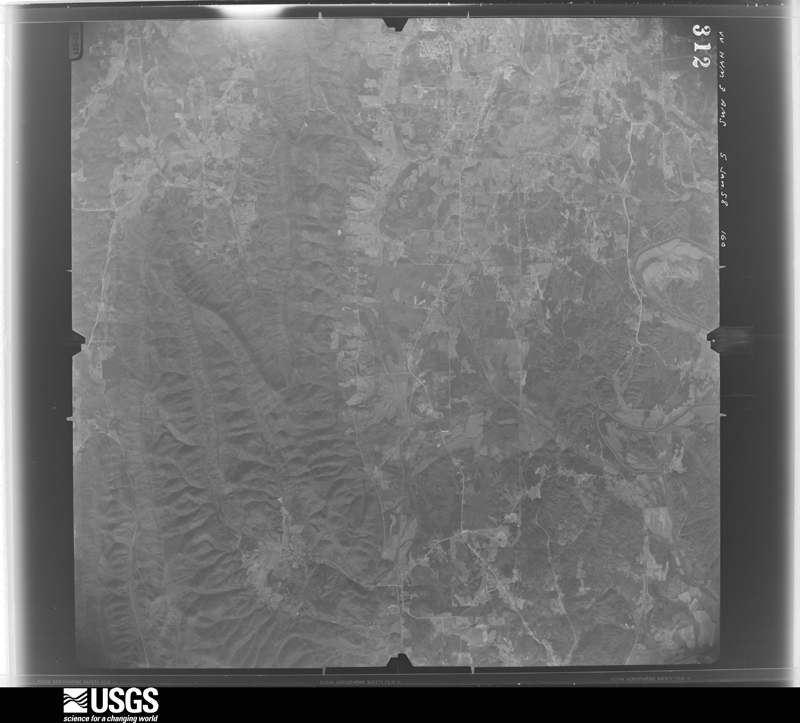
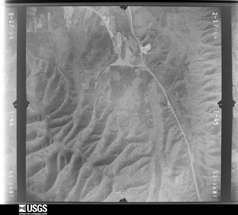
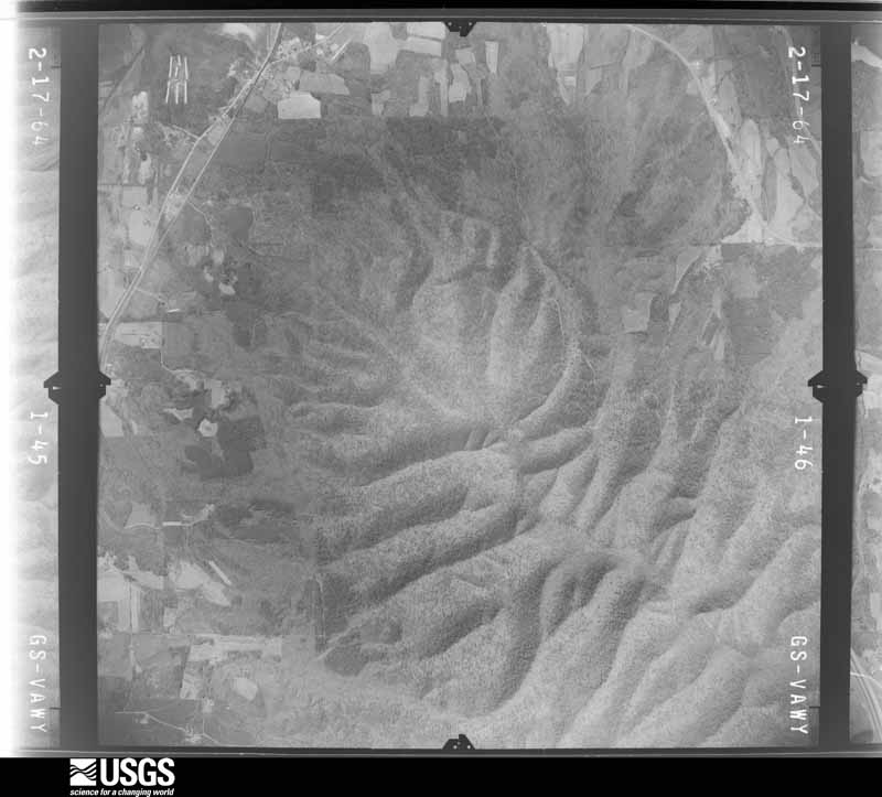
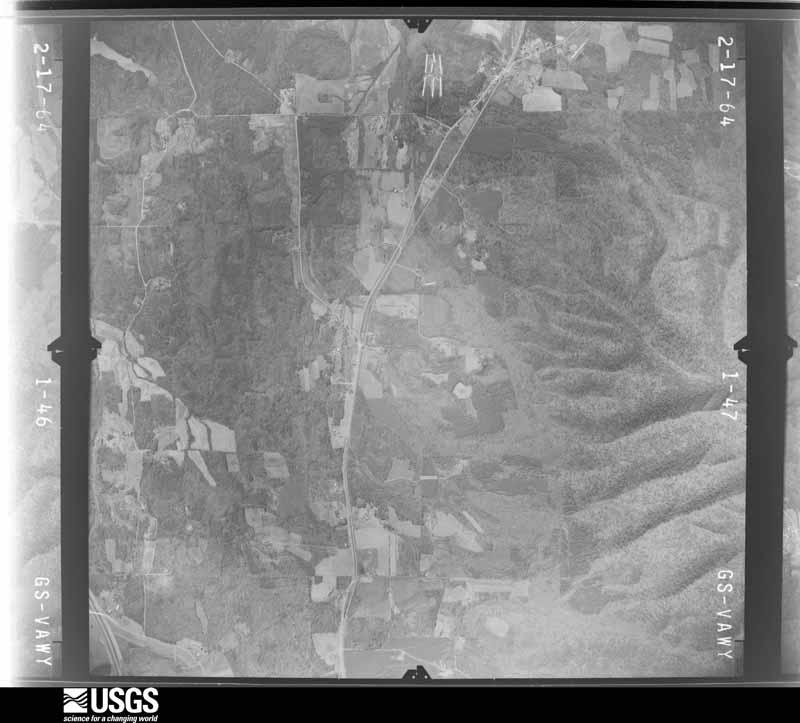
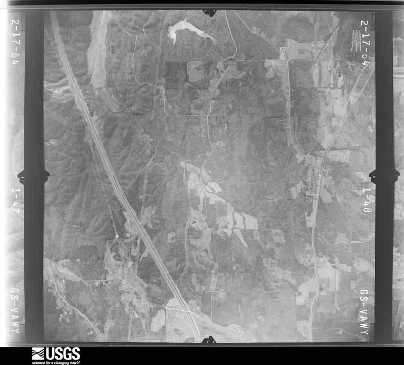
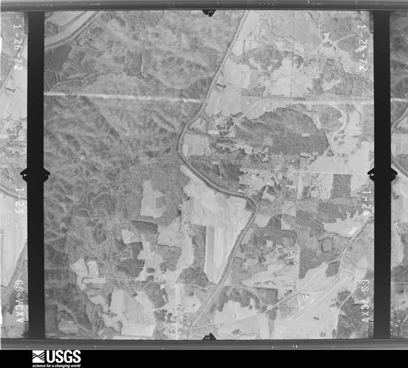
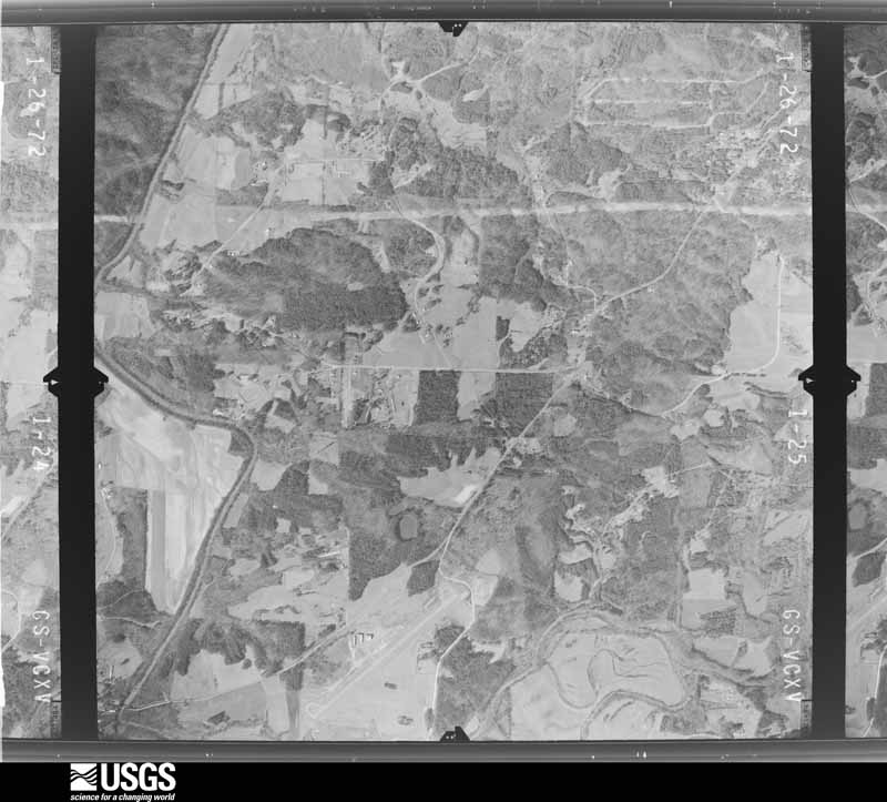
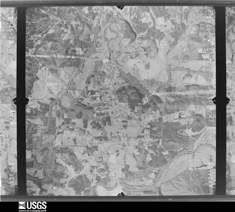
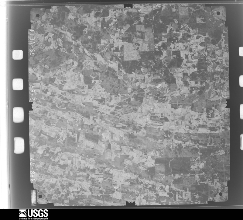
Flown by the U.S. Geological Survey between 1937 and 1989, the Aerial Photo Single Frames collection is the definitive mid-century view of the land: fields, roads and rivers as the camera saw them. The Survey holds 305 frames inside the rectangle that bounds this county; the 18 frames below were taken over the county itself, chosen across the decades of flights (at most four a year from that rectangle), so one flight cannot crowd out the rest. The full set is free to browse and download at EarthExplorer under the dataset Aerial Photo Single Frames.








The thermometers that kept this county's weather, and the gages that measured the flow of its streams, as the federal records hold them. The extremes below are measured values from those records, not estimates.
Who lived here in 1950, one enumeration district at a time, as the Census Bureau described each district. Each row opens its official National Archives result, with Population Schedules and ED Maps available there.
Every wildfire the federal occurrence database records inside this county: 1,077 of them, burning about 5,217 acres. 17 started naturally and 162 were recorded as arson. Each settlement page carries the fires within five miles of it.
| Reported cause | Fires |
|---|---|
| Debris and open burning | 610 |
| Arson/incendiarism | 162 |
| Misuse of fire by a minor | 80 |
| Equipment and vehicle use | 67 |
| Missing data/not specified/undetermined | 59 |
| Recreation and ceremony | 47 |
| Smoking | 20 |
| Natural | 17 |
| Railroad operations and maintenance | 14 |
| Fireworks | 1 |
The five largest, by the area the report gives. One of them was set deliberately.
| Date | Cause | Size | Reported by | Name on the report |
|---|---|---|---|---|
| 4 December 1999 | Equipment and vehicle use | 1,281 acres | Georgia Forestry Commission | not named |
| 27 October 2016 | Debris and open burning | 590 acres | Georgia Forestry Commission | FY2017-WHITFIELD-015 |
| 22 March 2019 | Debris and open burning | 195 acres | Chattahoochee-Oconee National Forest | DICK'S RIDGE ASSIST |
| 15 August 2007 | Recreation and ceremony | 190 acres | Georgia Forestry Commission | ROCKY FACE MTN FIRE |
| 8 March 2006 | Debris and open burning | 89 acres | Georgia Forestry Commission | not named |
| 28 February 2010 | Debris and open burning | 81 acres | Chattahoochee-Oconee National Forest | RED WINE COVE |
| 28 February 2010 | Debris and open burning | 80 acres | Georgia Forestry Commission | FY2010-WHITFIELD-001 |
| 10 September 2002 | Arson/incendiarism | 63 acres | Georgia Forestry Commission | FY2003-WHITFIELD-005 |
Every settlement page carries the fires within five miles of it - see the settlement index below.
The NOAA Storm Events Database holds 361 reports for this county, causing 3 deaths, 30 injuries and about $8,975,950 in recorded property damage. Each settlement page carries the reports that name it.
| Kind of event | Reports |
|---|---|
| Thunderstorm Wind | 223 |
| Hail | 70 |
| Flash Flood | 36 |
| Lightning | 12 |
| Tornado | 7 |
| Heavy Rain | 6 |
| Flood | 6 |
| Debris Flow | 1 |
The most serious of them, by death, then injury, then recorded damage. The accounts are quoted exactly as the forecast office filed them.
| When | Event | Place named | Harm | What the report says |
|---|---|---|---|---|
| April 1974 | Tornado (F4) | not stated | 2 killed, 25 hurt, $2,500,000 | no account filed |
| July 2018 | Lightning | Fillmore | 1 killed | A man was reported struck by lightning near Dalton on the 4th of July and later died. Officials confirmed the fatality several days after the event. Exact time is unknown. |
| May 1983 | Tornado (F1) | not stated | 3 hurt, $250,000 | no account filed |
| July 2003 | Thunderstorm Wind | Countywide | 1 hurt, $25,000 | The Whitfield county 911 center reported that a number of trees and power lines were blown down across the county. The Daily Citizen of Dalton reported that one tree fell on a home in Dalton and another fell on an abandoned car. In another incident, a girl was injured when a tree fell on her as she was coming in from docking a boat. Several thousand people in the county were left without power for several hours during the event. |
| July 2001 | Lightning | Tunnel Hill | 1 hurt | The Dalton Daily Citizen reported that a man was injured when lightning struck a nearby tree. The lightning bolt traveled from the tree through a wooden shed, in which the man was working, then down a shovel hanging on the wall and then on to the man's foot. The shovel was splintered. The man's foot turned completely black during the incident and remained numb for four hours. The man was taken to an emergency room and remained there for four hours before recovering and being released. |
| June 2011 | Thunderstorm Wind | Rocky Face | $1,250,000 | Amateur radio operators and the public reported that hundreds of trees were down across the county from west of Rocky Face to Dalton. Wind gusts were estimated at 65 to 70 mph. At least 40 homes across the county sustained minor to moderate damage from fallen trees. Four homes in Dalton and two homes in Rocky Face suffered extensive damage from trees which fell on the structures. Multiple trees and several power lines were down on Cleveland Highway north of Dalton. A number of power lines were down throughout the city of Dalton. |
| May 2003 | Flash Flood | Countywide | $1,000,000 | A trained spotter and cooperative observer for the National Weather Service reported that extensive flooding of roads was occurring across the county. The observer had recorded nearly five inches of rain in about three hours. A partial road collapse was noted on Georgia Highway 2 at Lee Bryant road just east of Prater Mill. Flooding was quite extensive on Georgia Highway 71 and U.S. Highway 76 around Dalton and several roads in the area had to be closed, including the South Dixie Highway in Dalton and several roads to the Brooks subdivision off Georgia Highway 71 in Dalton. Dalton city schools were closed because of flooding and several county school buses were stranded because of washed out, flooded, and closed roads. Local newspapers reported that there was a mudslide above the Shaw Industries Carpet plant in Dalton. As a result, trees tumbled into utility cables interrupting power and resulting in a temporary shutdown of the plant. Nearby, the flood waters and mudslide affected the company parking lots with water and mud inundating three cars. Other buildings nearby were also affected, including a car dealers showroom, which was flooded when a roadside culvert was washed out, and several apartments, which were flooded when an adjacent creek overflowed its banks. Mill Creek also overflowed onto U.S. Highway 41. |
| September 2009 | Flood | Red Clay | $500,000 | The Whitfield County Emergency Management Director reported that significant flooding continued across much of the county during this time frame. A number of roads remained flooded, impassable and closed. Dozens of homes and businesses were flooded. Coahulla Creek at Keith's Mill near Dalton exceeded flood stage of 16 feet at 1157 am EDT and remained above flood stage for several days. Additional monetary damage during this time frame was estimated to be $500,000. |
| March 2008 | Heavy Rain | Dalton | $300,000 | The Whitfield County Emergency Management Director reported that the older of two pillow manufacturing facility buildings collapsed as a result of the weight of rain water runoff on the roof of the two adjacent buildings. The older building was in need of repair. The wash-out effect caused by the water runoff resulted in the collapse of a wall on the older of the two buildings, which result in the roof caving in as well. Because of the age and condition of the building, it was considered a total loss. |
| September 2014 | Flash Flood | Callaway Mill | $250,000 | The Whitfield County Deputy Emergency Manager reported numerous reports of flooded roads and small drainage creeks in the Dalton area. Heavy rain of 4 to 6 inches caused flood waters to enter some buildings including a church and a car dealership on North Glenwood Avenue. A roof collapsed at a carpet plant on 5th Avenue due to the rain which flooded the building. Firefighters rescued several motorists stranded in high water on Willowdale Road. A USGS stream gage on Mill Creek at Chattanooga Avenue on the north side of Dalton reached flood stage of 11 feet. It crest at 11.7 feet. |
| September 2009 | Flood | Red Clay | $250,000 | Whitfield county emergency management personnel and USGS stream gages confirmed that major flooding continued across much of the county. Several homes, apartments, businesses, and roads sustained damage from flooding. Several roads were closed. Monetary damages from flooding continued to mount, with an additional $250,000 incurred during this time frame, nearly all of which occurred prior to 845 am EDT on the 22nd. Flood waters began to recede after 845 am EDT on the 22nd, but many locations remained flooded through 845 am EDT on the 23rd. |
| September 2009 | Flood | Varnell | $200,000 | The Whitfield County Emergency Management Director reported that considerable flooding continued in portions of the county, especially the northern areas. Several roads remained under water as earlier flash flooding subsided, but aerial flooding continued for several hours. Some homes and businesses continued to experience flooding during this time period. Monetary damage during this time frame was estimated at $200,000. |
| November 2003 | Heavy Rain | Dalton | $125,000 | A storm spotter for the National Weather Service reported that a poorly, yet recently constructed building housing a graphic printing company, collapsed during a heavy rain event. The heavy rain caused the poorly anchored concrete support pillars to collapse. The building was a total loss. |
| June 2011 | Lightning | Toonnerville | $100,000 | The Whitfield County Emergency Management Director reported that a commercial structure on Beaverdale Road was set on fire by lightning. No specific details regarding damages were provided. |
| October 2010 | Thunderstorm Wind | Tunnel Hill | $100,000 | The Whitfield County Emergency Management Director reported that a home on Alpison Road in Cohutta was destroyed when several large trees fell on the structure. Amateur radio operators relayed reports that school buses encountered several downed trees and power outages. The Whitfield County Emergency Management Director also reported that a few trees were down around Dalton with scattered power outages. |
| June 2001 | Thunderstorm Wind | Countywide | $100,000 | The Whitfield County 911 center reported that numerous trees were down from Dalton, to Beaverdale, to the eastern border of the county near Chatsworth. Trees were reported down on Keith Road, Feeder Ridge Road, Walnut Avenue, and Bethel Church Road in Dalton. On Keith Road, a mobile home was destroyed when a tree fell on the trailer. Extensive damage also occurred at the old historic Prater's Mill State Park and Fairgrounds, east of Varnell. Damage occurred to exhibit booths and stands as some were blown over and others were damaged by fallen trees. A stage was toppled over, a ticket booth was damaged, and the roof was ripped off a shed. Power lines were also down at the park . There were several other reports of damage nearby with a tree down on a car near Prater's Mill, minor damage at Edward's Park on Cleveland Highway, and several roads blocked by fallen trees. Tin roofs were also blown off a chicken house and a barn. At the Whitfield Industrial Park, 4,500 gallons of waste water overflowed because a tree fell on a nearby power line which knocked out power to the Enterprise Lift Pump Station. A storm spotter measured winds at 60 mph with a Davis wind measuring device. |
| July 2000 | Thunderstorm Wind | Dalton | $85,000 | The public and an amateur radio operator reported numerous trees down throughout the city of Dalton and just east of Dalton in the Lakeview Estates area. The Dalton Public Works Department reported that about 12 homes were damaged in Dalton when trees fell on them. |
| March 2013 | Thunderstorm Wind | Gordon Spgs | $75,000 | The Whitfield County Emergency Manager reported that numerous trees were blown down north of Dalton. One fell on a home on Concord Drive and another fell on a home on Mitchell Bridge Road. |
| March 2010 | Thunderstorm Wind | Trickum | $75,000 | A damage survey conducted by the National Weather Service Forecast office in Peachtree City, Georgia confirmed that extensive damage to trees and property southwest of Tunnel Hill was the result of a thunderstorm downburst with wind gusts estimated to be 70 mph. The wind was also accompanied by 1/4 to 1/2 inch-diameter hail and very heavy rain. The hail lasted up to five minutes at several spots along the path of the downburst and accumulated up to a depth of 12 to 18 inches at some locations. Some of the hail was still on the ground up to 6 hours later. The downburst affected a 3-mile long and 1-mile wide area, beginning near the intersection of Dogwood Valley Road and Houston Valley Road and ending near the intersection of Cottonwood Mill Road and Mount Vernon Road. At least 100 trees were down along the path of the downburst. Two mobile homes suffered extensive damage as a result of the downed trees. Tin roofs were torn off a few barns. Several homes sustained at least minor shingle damage. |
| June 2002 | Thunderstorm Wind | Countywide | $75,000 | The Daily Citizen newspaper of Dalton reported that strong thunderstorms downed numerous trees and several power lines across the county. One home in Dalton sustained considerable damage as a large tree fell through the home essentially collapsing in one corner of the house. The majority of the downed trees and power lines were in the Beaverdale and Dawnville areas in the eastern portion of the county, with less damage in the Tunell Hill and Dalton areas. Approximately 1000 residents were without power for several hours, and about 100 residents remained without power well into the next day. Consequently, several businesses were forced to close for the next day. Power crews had difficulty restoring power to some locations because of tree debris blocking roads in some areas. |
| April 2020 | Flash Flood | Callaway Mill | $60,000 | The Emergency Manager reported a home flooded on Varnell Road and a couple homes flooded on Yardley Lane likely due to high water on Tanyard Creek and Crow Valley Creek, respectively. Radar estimates indicate that 4 to 6 inches of rain occurred over the area, resulting in flash flooding. |
| February 2011 | Thunderstorm Wind | Cohutta | $60,000 | The Whtifield County Emergency Management Director reported that several trees were down in the far northern part of the county near the Tennessee border. Two trees had fallen on homes calling damage to the structures. A portion of Georgia Highway 71 near Cohutta was blocked from downed trees. |
| April 2020 | Flash Flood | Callaway Mill | $55,000 | The Emergency Manager reported a swift water rescue occurred at Susan Drive NW, homes flooded on Cherokee Circle, Bethany Drive, and Lindsey Memorial. Beaverdale Road was impassable due to high water. Radar estimates indicate that 4 to 6 inches of rain occurred in a short period of time, causing the flash flooding. |
| April 2020 | Flash Flood | Dalton | $50,000 | The Emergency Manager reported a couple homes flooded on Coker Drive in Dalton. Radar estimates indicate that 4 to 6 inches of rain occurred in the area in a short period of time, resulting in flash flooding. |
| April 2020 | Thunderstorm Wind | Dawnville | $50,000 | Major damage to a home and several trees downed along the 5100-5200 block of Mark Brown Road. Chicken house also destroyed in this area. |
| May 2016 | Thunderstorm Wind | Rocky Face | $50,000 | The Whitfield County Emergency Manager reported numerous trees blown down, some on structures, across the Dalton area. Some locations include Red Clay Avenue, Lake Katherine Road, Bayleaf Avenue, Beverly Drive, West Woodland Drive, East Willow Park Drive, West Crawford Street and West Matilda Street. |
| August 2011 | Thunderstorm Wind | Dalton | $50,000 | The Whitfield County Emergency Management Director reported that a couple of large trees were blown down on homes in Dalton, one on Oak Stone Way and another on Rio Vista Drive. The structures sustained minor to moderate damage from the downed trees. |
| December 2009 | Flash Flood | Mill Creek | $50,000 | The Whitfield County Emergency Management Director reported flash flooding in several areas across the central and southern portion of the county. Several roads were flooded and washed out when local creeks spilled out of their banks. Drowning Bear Creek, Stover Creek, and Cohulla Creek were some of the more significant creeks flooded in the county. At least 12 roads in the county were affected by flood waters. Some of the roads flooded included Frazier Road, Vinewood Drive, Stover Creek Road, and Redwine Cove Road. Three 6-foot diameter pipes were washed out on Stover Creek Road. The USGS stream gage on Cohulla Creek near Keith's Mill below Dalton reached its flood stage of 16.0 feet during this time frame. Monetary damage was estimated to be $50,000. |
| June 2009 | Thunderstorm Wind | Tunnel Hill | $50,000 | The Whitfield County Emergency Management Director reported that at least seven trees were blown down around Tunnel Hill. One of the trees fell on a house on Tunnel-Hill Varnell Road causing significant damage to the structure. Some power lines and power poles were also down in the area. |
| June 2008 | Thunderstorm Wind | Dalton | $50,000 | A damage survey conducted by the National Weather Service Forecast Office in Peachtree City, Georgia determined that strong straight-line wind of 70 to 80 mph affected a small area of southern Whitfield county, approximately three miles southwest of Dalton. Damage was concentrated along a 100 yard long and 250 yard wide path along Brookview Lane. Several trees were snapped and hundreds of large limbs were ripped from trees. Some power lines were down in the area as well. Several fences were damaged from the downed trees and tree limbs and minor to moderate roof damage was observed to three homes and one outbuilding in the area. |
| July 2004 | Thunderstorm Wind | Cohutta | $35,000 | Amateur radio operators reported that several trees were blown down in the Dawnville area. Trees were down on power lines and a couple of vehicles. The Whitfield County 911 center reported that three trees were blown down in the Tunnel Hill area. The Daily Citizen of Dalton reported that a large tree fell on a police vehicle in Cohutta with an estimated value of $20,000. An adjacent shed was also destroyed by the tree. |
| June 2002 | Thunderstorm Wind | Dalton | $35,000 | The Whitfield county 911 center and the Dalton Daily Citizen reported that a number of large trees were blown down or uprooted in the city, causing damage to several homes. A number of power lines were also brought down. One large tree fell on a home, another residence lost several trees causing only minimal damage to a home, and at yet another residence one large tree was uprooted in the back yard and front yard each. At another location, several very large trees fell on and leveled a trailer home. Power outages affected homes and business for many hours, up to 18 hours at one location, causing several businesses to close their doors for a time. |
| April 2014 | Tornado (EF1) | Mills | $30,000 | A National Weather Service survey team determined that a short-lived EF-1 tornado touched down in northern Whitfield County. Numerous trees were downed, one on a truck. A chicken house collapse and another outbuilding was destroyed. Minor roof damage was also noted along the path. The tornado continued into Bradley County, Tennessee, before lifting.|[04/28/14: Tornado #2, County #1-1, EF1, Whitfield, 2014:005]. |
| July 2012 | Lightning | Red Clay | $30,000 | The Whitfield County Emergency Manager reported that lightning struck a house on Old Cleveland Highway, sparking a fire. Significant damage was sustained to a portion of the house. No injuries were reported. |
| June 2007 | Thunderstorm Wind | Cohutta | $30,000 | WRCB Television of Chattanooga reported that an apparent microburst or downburst blew down several trees in the extreme northern part of the county. Two chicken houses lost their roofs as a result of the damaging wind gusts. Some power lines were also down in the area. |
| September 2004 | Flash Flood | Countywide | $26,000 | A National Weather Service SkyWarn spotter and cooperative observer, along with the Georgia Emergency Management Agency, reported considerable flooding throughout the county. A number of creeks exceeded bank full and several roads were flooded. Several cars were abandoned in high water. A few roads were washed out, most notably Old Tilton Road which was completely washed out and expected to remain closed for at least two weeks. |
| April 2021 | Thunderstorm Wind | Carbondale | $25,000 | The Whitfield County Emergency Manager reported several trees blown down and portions of the roof of a business blown off across parts of southern and eastern Whitfield County around Dalton. |
| July 2021 | Thunderstorm Wind | Gordon Spgs | $25,000 | The Whitfield County Emergency Manager reported numerous trees and power lines blown down across the eastern side of Dalton. |
| June 2019 | Thunderstorm Wind | Gordon Spgs | $25,000 | The Whitfield County Emergency Manager reported numerous trees and power lines blown down across the county from around Varnell and Rock Face across Dalton to near Tilton. |
| September 2011 | Thunderstorm Wind | Varnell | $25,000 | The Whitfield County Emergency Management Director reported that a tree was blown over onto a home during a thunderstorm associated with Tropical Storm Lee. The home sustained moderate structural damage as a result. |
| June 2009 | Lightning | Dalton | $25,000 | The Whitfield County Emergency Management Director reported that lightning struck a home northeast of Dalton in the Pleasant Grove community. The structure suffered at least minor damage. |
| September 2008 | Thunderstorm Wind | Tunnel Hill | $25,000 | The public reported that a tree was down on a home in Tunnel Hill causing damage to the structure. |
| July 2003 | Flash Flood | Dalton | $25,000 | The Dalton Fire and Rescue Department, along with the county 911 center and the public reported that extensive and major flooding was occurring in a relatively small 10 mile by 10 mile wide area just north of Dalton. Rainfall in excess of five inches occurred between 7 pm and midnight EDT within this area. Several roads were completely flooded, rendered impassable, and closed. In addition, several people became stranded in the area and required rescues. |
| May 1998 | Hail | Rocky Face | $25,000 | Several public reports indicated hail ranged from golf ball to baseball size. Lots of damage to cars and house roofs occurred. |
| April 1992 | Tornado (F0) | not stated | $25,000 | no account filed |
| January 1974 | Tornado (F1) | not stated | $25,000 | no account filed |
| March 2017 | Thunderstorm Wind | Union Point | $20,000 | The Whitfield County Emergency Manager reported numerous trees and power lines blown down around U.S. Highway 41 and Airport Road. Over 10000 customers were without power in the area. |
| May 2017 | Tornado (EF1) | Gordon Spgs | $20,000 | A National Weather Service survey team found that an EF1 tornado with maximum wind speeds of 90 MPH and a maximum path width of 200 yards touched down northeast of Dalton west of Highway 71 (Cleveland Highway), snapping and uprooting several trees between 3rd Street and West Hill View Drive as it moved to the northeast. The tornado continued northeast and produced the most significant damage along the south end of Lynn Drive where numerous large trees were snapped or uprooted in a 200 yard wide path. A camper was also rolled about 20 yards away from its original location near Lynn Drive. Several more trees were found snapped near |Creekwood Lane Northeast just before the tornado lifted. No injuries were reported. [05/24/17: Tornado #1, County #1/1, EF-1, Whitfield, 2017:075]. |
| December 2014 | Thunderstorm Wind | Carbondale | $20,000 | The Whitfield County Emergency Manager reported numerous trees and power lines down in and around Dalton including damage to a fire station. Damage was reported on S. Dug Gap Road, Airport Road at Grimes Street, on Hester Circle, at S. Dixie Highway and Crown Lake Drive, at S. Dixie Highway and Confederate Cemetery, and on Hurricane Road. |
| April 2013 | Thunderstorm Wind | Fillmore | $20,000 | The Whitfield County Emergency Manager reported a tree down on a house on Witherow Bridge Road. |
| May 1998 | Thunderstorm Wind | Carbondale | $20,000 | Trees were knocked down. Houses were damaged and roofs torn off. There was an unconfirmed report of a tornado. |
| June 1995 | Thunderstorm Wind | Dalton | $20,000 | Thunderstorm winds knocked several trees down on roads. A tree, which had fallen, caused damage to one home. |
| June 2019 | Thunderstorm Wind | Gordon Spgs | $15,000 | The Whitfield County Emergency Manager reported a garaged damaged by wind-blown debris in the 2900 block of Crow Valley Road and a gazebo blown down in the 2100 block of Ledford Road. |
| June 2017 | Thunderstorm Wind | Varnell | $15,000 | The Whitfield County 911 center reported numerous trees and power lines blown down in and around Dalton. Locations include near Reed Road and Reed Pond Road, Highway 71 and Maple Grove Road, Reed Road and Highway 41, Wiggins Road and Mitchell Bridge Road, and North Selvidge Street and Chattanooga Avenue. |
| June 2016 | Thunderstorm Wind | Dalton | $15,000 | The Whitfield County Emergency Manager reported numerous trees blown down across southern portions of the city of Dalton, including one blown down on a house on Liberty Drive. |
| August 2016 | Thunderstorm Wind | Trickum | $15,000 | The Whitfield County Emergency Manager reported several trees blown down across the county, including on Mill Creek Road, Beaverdale Road, Tate Road, McArthur Road and Lafayette Road at Old Ringgold Road. A tree was blown down onto a house on Pat Cleburne Lane in Tunnel Hill. |
| April 2011 | Thunderstorm Wind | Cohutta | $15,000 | The Whitfield County 911 Center reported that several, probably at least a dozen, trees and power lines were down across the northern end of the county between Cohutta and Beaverdale. |
| December 2009 | Thunderstorm Wind | Tilton | $15,000 | The Whitfield County Emergency Management Director reported that at least 40 trees were down across the county, most highly concentrated in the southern part of the county. A few trees were down near Rocky Face and Dalton. Several power lines were also down in the southern part of the county. |
| September 2009 | Flash Flood | Trickum | $15,000 | The Whitfield County Emergency Management Director reported significant flash flooding in many parts of the county. Several roads west of Rocky Face were flooded and closed as creeks exceeded flood stage in the area. Dogwood Valley Road and Dunnigan Road were among some of the more significant roads closed in the area. Many schools in the county were closed for at least two days because of impassable roads. Monetary damage to roads, bridges, and culverts was estimated at $15,000. |
| August 2006 | Thunderstorm Wind | Countywide | $15,000 | The Department of Public Safety reported that upwards to 10 trees were down scattered about the county, all the result of thunderstorm wind gusts. In addition, a traffic signal, two road signs, and a power pole were also down in the Dalton area. |
The Survey's mineral resources record lists 21 workings inside this county. 5 still produce and 16 are closed or unrecorded. Each settlement page carries the workings within five miles of it.
| Commodity | Workings |
|---|---|
| Stone, Crushed/Broken | 7 |
| Barium-Barite | 5 |
| Iron, Manganese | 3 |
| Manganese | 2 |
| Marble, Dimension | 1 |
| Aluminum | 1 |
| Clay | 1 |
| Iron | 1 |
The least common of them first, because a county's hundredth gravel pit says nothing its first ten did not.
| Where | Site | Commodity | Status | Recorded |
|---|---|---|---|---|
| Dalton Brick and Tile Co Pits | Clay | Past Producer | ||
| Dalton Plant Dixie Chem | Aluminum | Plant | ||
| Hammontree Prospect | Iron | Occurrence | ||
| Jet Black Marble Co Quarry | Marble, Dimension | Past Producer | ||
| Catoosa Mining Co Prospects | Manganese | Occurrence | ||
| Lanski Property--Talc Indus Inc | Stone, Crushed/Broken, Manganese | Producer | 1918 | |
| Bare Property | Iron, Manganese | Occurrence | 1919 | |
| Cohutta Number Two | Iron, Manganese | Past Producer | 1918 | |
| Eslinger Property | Iron, Manganese | Occurrence | 1919 | |
| Floyd Property | Barium-Barite | Past Producer | ||
| George Cline Property | Barium-Barite | Past Producer | ||
| Sam & Jw Cline Property | Barium-Barite | Prospect | ||
| W. R. Cline Property | Barium-Barite | Prospect | ||
| Whatley Property | Barium-Barite | Past Producer | ||
| Cooper Pit | Stone, Crushed/Broken | Producer | ||
| County Quarry | Stone, Crushed/Broken | Past Producer | ||
| Dalton City Quarry | Stone, Crushed/Broken | Past Producer | ||
| Dalton Plant | Stone, Crushed/Broken | Producer | ||
| H & S Industries Inc | Stone, Crushed/Broken | Plant | ||
| Tilton Plant | Stone, Crushed/Broken | Past Producer | ||
| Ruralvale Area | Past Producer | Residual |
Named settlements recorded in the Geographic Names Information System, each with the topographic sheets covering it. Villages, hamlets and abandoned places alike. Each is shown with the nearest named watercourse or landform and the survey quadrangle it falls on. The 1 place that was also surveyed for fire insurance comes first, with the number of atlases and photographs held for them.
Dalton census division · 30720 · Near Fort Hill · Dalton North quadrangle
21 sheets, 1886 to 1981
Fire insurance: 9 atlases
North Whitfield census division · 30721 · On Sugar Creek · Beaverdale quadrangle
19 sheets, 1886 to 1981
West Whitfield census division · 30755 · On Mount Vernon Creek · Tunnel Hill quadrangle
25 sheets, 1886 to 1983
Dalton census division · 30721 · Near Fort Hill · Dalton North quadrangle
21 sheets, 1886 to 1981
West Whitfield census division · 30720 · Near Barn Mountain · Dalton South quadrangle
18 sheets, 1886 to 1981
Dalton census division · 30721 · On Mill Creek · Dalton North quadrangle
21 sheets, 1886 to 1981
Dalton census division · 30721 · Near Cedar Ridge · Dalton North quadrangle
21 sheets, 1886 to 1981
North Whitfield census division · 30710 · Near Pitner Hill · Cohutta quadrangle
24 sheets, 1886 to 1982
Dalton census division · 30720 · On Tar Creek · Dalton South quadrangle
18 sheets, 1886 to 1981
Dalton census division · 30721 · On Moody Branch · Dalton North quadrangle
21 sheets, 1886 to 1981
North Whitfield census division · 30710 · On Hagin Branch · Cohutta quadrangle
24 sheets, 1886 to 1982
No longer a settlement
Dalton census division · 30721 · On Schwab Branch · Dalton North quadrangle
21 sheets, 1886 to 1981
No longer a settlement
West Whitfield census division · 30740 · On Gordon Spring Creek · Nickajack Gap quadrangle
25 sheets, 1886 to 1983
No longer a settlement
West Whitfield census division · 30740 · On North Fork Mill Creek · Tunnel Hill quadrangle
25 sheets, 1886 to 1983
Dalton census division · 30721 · On Coahulla Creek · Dalton South quadrangle
18 sheets, 1886 to 1981
West Whitfield census division · 30740 · Near Hurricane Valley · Villanow quadrangle
25 sheets, 1886 to 1983
North Whitfield census division · 30710 · On Wildcat Creek · Cohutta quadrangle
24 sheets, 1886 to 1982
No longer a settlement
West Whitfield census division · 30740 · Near Stony Point Ridge · Tunnel Hill quadrangle
25 sheets, 1886 to 1983
North Whitfield census division · 30721 · On Spring Creek · Chatsworth quadrangle
21 sheets, 1886 to 1981
North Whitfield census division · 30710 · Near Signal Hill · Cohutta quadrangle
24 sheets, 1886 to 1982
Dalton census division · 30720 · On Little Swamp Creek · Dalton South quadrangle
18 sheets, 1886 to 1981
Dalton census division · 30721 · On Stone Branch · Cohutta quadrangle
24 sheets, 1886 to 1982
Dalton census division · 30721 · On Bates Branch · Dalton North quadrangle
21 sheets, 1886 to 1981
Dalton census division · 30721 · On Little Creek · Cohutta quadrangle
24 sheets, 1886 to 1982
North Whitfield census division · 30710 · Near Signal Hill · Cohutta quadrangle
24 sheets, 1886 to 1982
West Whitfield census division · 30740 · Near Mill Creek Valley · Tunnel Hill quadrangle
25 sheets, 1886 to 1983
North Whitfield census division · 30721 · Near Cave Hollow · Beaverdale quadrangle
19 sheets, 1886 to 1981
Dalton census division · 30721 · On Swamp Creek · Dalton South quadrangle
18 sheets, 1886 to 1981
North Whitfield census division · 30721 · On Nickolson Branch · Dalton North quadrangle
21 sheets, 1886 to 1981
West Whitfield census division · 30740 · On Hopkins Branch · Tunnel Hill quadrangle
25 sheets, 1886 to 1983
West Whitfield census division · 30755 · On Mount Vernon Creek · Tunnel Hill quadrangle
25 sheets, 1886 to 1983
Dalton census division · 30721 · Near Thomas Island · Dalton North quadrangle
21 sheets, 1886 to 1981
North Whitfield census division · 30756 · Near Gobblers Knob · Cohutta quadrangle
24 sheets, 1886 to 1982
Dalton census division · 30721 · On Poplar Spring Creek · Dalton North quadrangle
21 sheets, 1886 to 1981
The vanished settlements of Whitfield County: the places named above that are no longer on the map.
21 topographic sheets and 9 fire insurance atlases, 1885 to 1950
The complete index, with nothing left out. Each of these is a separate record with its own page: a federal survey report, or the case file that argued a property on to the National Register. Both are public domain and reproduced word for word.
The vanished settlements of Whitfield County, the places these records name that are no longer on the map.