 Block
Albaton, Iowa
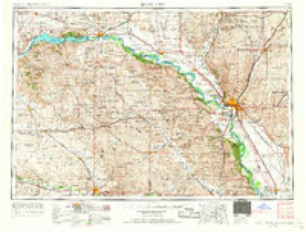
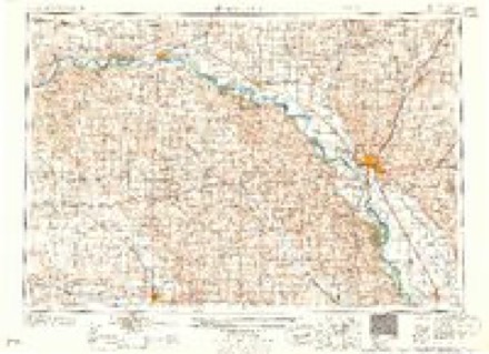
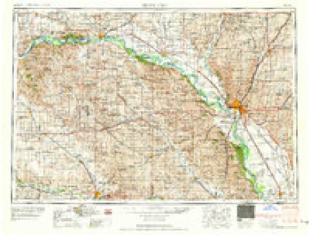
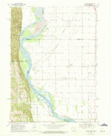
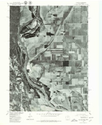
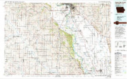
10 topographic sheets cover this place, the earliest surveyed in 1955 and the latest in 1986. It stands in Fairview Township. It lies in ZIP code area 51055. The Survey maps it on the Albaton quadrangle.
Topographic sheets covering this place
6 surveys from 10 printed sheetsMatched by testing this settlement's coordinate against the published boundary of every sheet in the United States Geological Survey's historical collection. Each opens the scanned sheet at the Survey.
- 1955 USGS Sioux City quadrangle1:250000, 4 printings
- 1958 USGS Sioux City quadrangle1:250000
- 1959 USGS Sioux City quadrangle1:250000
- 1969 USGS Albaton quadrangle1:24000
- 1977 USGS Albaton quadrangle1:24000
- 1986 USGS Sioux City South quadrangle1:100000, 2 printings
Fires near this place
68 since 2002Regional context, not property-specific evidence. The federal wildfire occurrence database lists 68 fires within 5 miles of Albaton between 2002 and 2020, burning about 1,197 acres in total. None started naturally. 20 were recorded as arson. Distance is straight-line from the map coordinates, so a fire counted here may appear on a neighbouring settlement's page as well.
| Reported cause | Fires |
|---|---|
| Arson/incendiarism | 20 |
| Debris and open burning | 20 |
| Misuse of fire by a minor | 11 |
| Missing data/not specified/undetermined | 10 |
| Smoking | 4 |
| Equipment and vehicle use | 2 |
| Recreation and ceremony | 1 |
The most recent of them, most recent first, with the day each was reported and the service that recorded it.
| Date | Cause | Size | Reported by | Name on the report |
|---|---|---|---|---|
| 8 September 2012 | Debris and open burning | under an acre | Winnebago Agency | BIA #420 |
| 3 August 2017 | Debris and open burning | 1.0 acres | Nebraska Forest Service | not named |
| 9 May 2018 | Debris and open burning | under an acre | Winnebago Agency | BIA #016-18 |
| 29 May 2002 | Smoking | 9.0 acres | Winnebago Agency | A1302064 |
| 29 May 2002 | Smoking | 8.0 acres | Winnebago Agency | A1302065 |
| 29 May 2002 | Smoking | 9.0 acres | Winnebago Agency | A1302063 |
| 16 May 2019 | Arson/incendiarism | 1.1 acres | Winnebago Agency | WEST DITCH |
| 10 May 2011 | Debris and open burning | 2.0 acres | Winnebago Agency | BIG ELK |
Mines and quarries near this place
1 within 5 milesRegional context, not property-specific evidence. The federal mineral resources record lists 1 working within 5 miles of Albaton: 1 past producer. None of them still produces. What was taken out: Sand and Gravel, Construction. Distance is straight-line from the map coordinates, so a quarry counted here may appear on a neighbouring settlement's page as well.
| Where | Site | Commodity | Status | Recorded |
|---|---|---|---|---|
| Hargrave Pit | Sand and Gravel, Construction | Past Producer |
Storms near this place
8 since 2008Regional context, not property-specific evidence. The National Weather Service names Albaton in 8 storm reports between 2008 and 2024: 4 flood, 3 thunderstorm wind, 1 tornado. No death or injury is recorded in these reports. Each account below is quoted exactly as the forecast office filed it, from the NOAA Storm Events Database, and each date opens the federal record of that event.
| When | Event | Place named | Harm | What the report says |
|---|---|---|---|---|
| August 2011 | Flood | Albaton | $5,000,000 | Flooding along the Missouri River gradually worsened over Monona county during June and July as record releases from Gavins Point Dam brought widespread flooding along the river. Conditions improved markedly during August as releases were reduced and the river level at Decatur dropped below flood stage late in the month. Flooding in Monona county was mainly confined to agricultural lowlands, recreation areas and roads near the river. However, Blencoe started sandbag operations in June as did other businesses from Blencoe to Onawa. The flooding forced the post office in Blencoe to move operations to a nearby town. Late in June the Highway 175 bridge over the Missouri between Decatur and Onawa was closed due to erosion of the abutment on the Iowa side of the bridge and the bridge and highway remained closed through August. The Iowa Farm Bureau Federation estimated that the flood event caused total crop and economic losses of $32.3 million in Monona county. |
| June 2024 | Flood | Albaton | $1,000,000 | River flooding from upstream excessive rain impacted the region, bringing the Missouri River to moderate flood stage. The Missouri River crested at 37.55 feet at the Decatur gauge at 03:45 CDT on 6/26. Flood stage at this gauge is 35.0 feet. Additional flooding for the same reason was observed on Little Sioux River between 6/24 and 6/28. The Little Sioux river crested at 27.33 feet. Flood stage for this river in Monona County is 25.0 feet. At 04:56 am CDT on the 25th, law enforcement reported that a levee on the Little Sioux River failed 600 yards south of Highway 141 resulting in flash flooding in the surrounding areas. Later that same day shortly after 04:00 pm CDT, law enforcement reported a second levee breach near Rodney. By this point, water had breached the levee system on both sides of the river, resulting in several road closures and evacuations of nearby homesteads. Damage to this county from the flood was estimated to be $1,298,600.00. |
| July 2011 | Flood | Albaton | $50,000 | Flooding along the Missouri River gradually worsened over Monona county during June and continued through July as record releases from Gavins Point Dam brought widespread flooding along the River. Flooding in Monona county initially was mainly confined to agricultural lowlands, recreation areas and roads near the river but then started threatening Blencoe which started sandbag operations in June as did other businesses from Blencoe to Onawa. The flooding forced the post office in Blencoe to move operations to a nearby town and closed 2 casinos. Late in June the Highway 175 bridge over the Missouri between Decatur and Onawa was closed due to erosion of the abutment on the Iowa side of the bridge. The flooding persisted into August. |
| June 2011 | Flood | Albaton | $20,000 | Flooding along the Missouri River gradually worsened over the area during June as record releases from Gavins Point Dam brought widespread flooding along the River. In Monona county the flooding generally began during the first week of the month as the gauge at Decatur didn't surpass flood stage until around June 6th. Flooding in Monona county initially was mainly confined to agricultural lowlands, recreation areas and roads near the river but then started threatening Blencoe which started sandbag operations as did other businesses from Blencoe to Onawa. The flooding forced the post office in Blencoe to move operations to a nearby town. Late in the month the Highway 175 bridge over the Missouri between Decatur and Onawa was closed due to erosion of the abutment on the Iowa side of the bridge. The flooding persisted into July. |
| July 2013 | Thunderstorm Wind | Albaton | - | Thunderstorm wind gusts estimated at 60 mph downed several large tree branches in the area. |
| October 2013 | Tornado (EF2) | Albaton | - | This tornado continued from Thurston County in northeast Nebraska and into Monona County. The damage in Monona County was generally confined to soft wood trees, but one farmstead did receive minor out building damage. The EF2 damage occurred as the tornado crossed 100th street were several power poles were snapped off at the base. The tornado then exited Monona County into Woodbury County. |
| July 2008 | Thunderstorm Wind | Albaton | - | Thunderstorm wind gusts were measured at 74 mph by wind equipment just south of Sloan. The winds did some tree damage in the area. |
| June 2018 | Thunderstorm Wind | Albaton | - | no account filed |
Nearest settlements
The eight closest, with where each one stands in the county. Distances are straight-line, computed from the Geographic Names Information System coordinates.
Elsewhere
Matched on this settlement's Geographic Names Information System number rather than its name, so it cannot be a different place of the same name in another state.
| Wikidata item Q122551927 | The structured record the population and elevation above come from. Public domain (CC0). |
Provenance
This settlement is recorded in the Geographic Names Information System as feature 454112. The sheet list is computed by point-in-boundary test against the United States Geological Survey's historical topographic inventory. Both are works of the United States government and carry no copyright under 17 U.S.C. 105.
Wildfire. Short, Karen C. 2022. Spatial wildfire occurrence data for the United States, 1992-2020 [FPA_FOD_20221014]. 6th Edition. Fort Collins, CO: Forest Service Research Data Archive. https://doi.org/10.2737/RDS-2013-0009.6 Collected with United States Government funding and usable without additional permissions or fees.
Mines and quarries. USGS Mineral Resources Data System (MRDS) https://mrdata.usgs.gov/mrds/ A work of the United States government, no copyright under 17 U.S.C. 105.
Storms. NOAA National Centers for Environmental Information, Storm Events Database https://www.ncei.noaa.gov/stormevents/ A work of the United States government, no copyright under 17 U.S.C. 105. Narratives are quoted verbatim from the National Weather Service report and are not edited or summarised.