 Block
Breda, Iowa
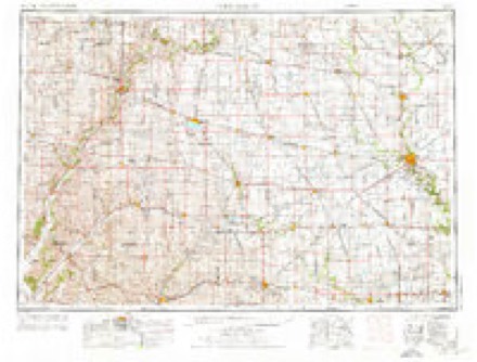
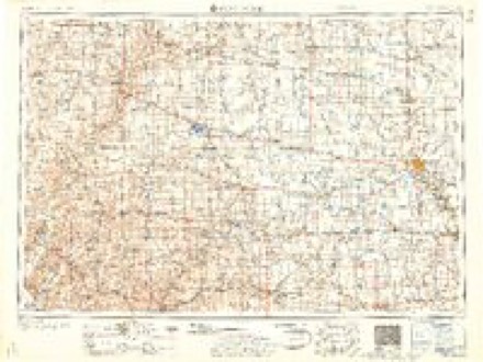
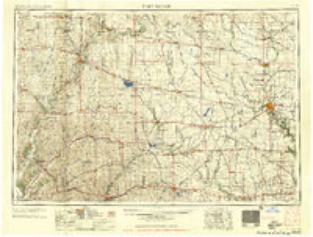
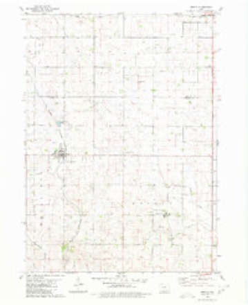
8 topographic sheets cover this place, the earliest surveyed in 1954 and the latest in 1993. It stands in Wheatland Township. It lies in ZIP code area 51436. The Survey maps it on the Breda quadrangle.
Topographic sheets covering this place
6 surveys from 8 printed sheetsMatched by testing this settlement's coordinate against the published boundary of every sheet in the United States Geological Survey's historical collection. Each opens the scanned sheet at the Survey.
- 1954 USGS Fort Dodge quadrangle1:250000, 3 printings
- 1957 USGS Fort Dodge quadrangle1:250000
- 1958 USGS Fort Dodge quadrangle1:250000
- 1980 USGS Breda quadrangle1:24000
- 1985 USGS Carroll quadrangle1:100000
- 1993 USGS Carroll quadrangle1:100000
Storms near this place
32 since 1993Regional context, not property-specific evidence. The National Weather Service names Breda in 32 storm reports between 1993 and 2025: 15 hail, 13 thunderstorm wind, 2 tornado, 2 flood. The reports record 88 injuries. Each account below is quoted exactly as the forecast office filed it, from the NOAA Storm Events Database, and each date opens the federal record of that event.
| When | Event | Place named | Harm | What the report says |
|---|---|---|---|---|
| May 2003 | Hail | Breda | 88 hurt, $2,000 | no account filed |
| August 1993 | Tornado (F1) | Breda | $500,000 | no account filed |
| May 1998 | Thunderstorm Wind | Breda | $75,000 | no account filed |
| May 2004 | Thunderstorm Wind | Breda | $50,000 | no account filed |
| April 1998 | Hail | Breda | $20,000 | no account filed |
| May 2001 | Hail | Breda | $10,000 | no account filed |
| May 2012 | Thunderstorm Wind | Breda | $5,000 | Spotter estimated wind gusts near 60 MPH for about 5 minutes. |
| July 2012 | Hail | Breda | $5,000 | One inch hail was reported along with crop damage. |
| August 2009 | Hail | Breda | $5,000 | no account filed |
| July 2008 | Hail | Breda | $5,000 | no account filed |
| July 2008 | Thunderstorm Wind | Breda | $5,000 | no account filed |
| July 2008 | Thunderstorm Wind | Breda | $5,000 | no account filed |
| July 2005 | Hail | Breda | $5,000 | no account filed |
| April 2001 | Thunderstorm Wind | Breda | $5,000 | no account filed |
| April 1994 | Thunderstorm Wind | Breda | $5,000 | no account filed |
| April 1994 | Thunderstorm Wind | Breda | $5,000 | no account filed |
| August 1993 | Thunderstorm Wind | Breda | $5,000 | no account filed |
| July 2012 | Thunderstorm Wind | Breda | $2,000 | Multiple branches down throughout the town of Breda. Generally an inch in diameter. |
| August 2012 | Hail | Breda | $2,000 | no account filed |
| May 2006 | Hail | Breda | $2,000 | no account filed |
| May 2005 | Thunderstorm Wind | Breda | $2,000 | no account filed |
| May 2003 | Hail | Breda | $2,000 | no account filed |
| July 2008 | Thunderstorm Wind | Breda | $1,000 | no account filed |
| August 2004 | Hail | Breda | $1,000 | no account filed |
| April 1998 | Hail | Breda | $1,000 | no account filed |
| April 1998 | Hail | Breda | $1,000 | no account filed |
| August 2025 | Thunderstorm Wind | Breda | - | Large tree, unclear if rotted or healthy, snapped at base. Few other small branches in town snapped. Delayed report, time estimated by radar. |
| December 2021 | Tornado (EFU) | Breda | - | Tornado developed in far northwest Carroll county west of Breda. The path was observed in high resolution satellite imagery. No damage was reported in Carroll county, hence the EFU rating. This tornado continued into Sac county. |
| March 2019 | Flood | Breda | - | Iowa DOT reported that US 71 north and southbound will be closed due to flooding between 2nd St and US 30 in Carroll. |
| June 2010 | Flood | Breda | - | no account filed |
| August 2009 | Hail | Breda | - | no account filed |
| July 2005 | Hail | Breda | - | no account filed |
Nearest settlements
The eight closest, with where each one stands in the county. Distances are straight-line, computed from the Geographic Names Information System coordinates.
| Map | Place | Distance | Sheets |
|---|---|---|---|
| Mount Carmel | 4.1 miles | 8 | |
| Maple River | 6.1 miles | 8 | |
| Arcadia | 7.5 miles | 8 | |
| Kentner | 8.2 miles | 8 | |
| Carroll | 9.9 miles | 8 | |
| Lidderdale | 11.0 miles | 8 | |
| Halbur | 12.1 miles | 8 | |
| Roselle | 12.9 miles | 8 |
Provenance
This settlement is recorded in the Geographic Names Information System as feature 454812. The sheet list is computed by point-in-boundary test against the United States Geological Survey's historical topographic inventory. Both are works of the United States government and carry no copyright under 17 U.S.C. 105.
Storms. NOAA National Centers for Environmental Information, Storm Events Database https://www.ncei.noaa.gov/stormevents/ A work of the United States government, no copyright under 17 U.S.C. 105. Narratives are quoted verbatim from the National Weather Service report and are not edited or summarised.