 Block
Cranston, Iowa
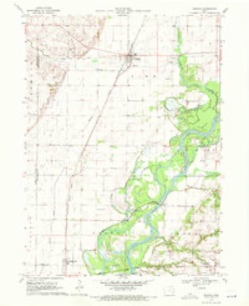
8 topographic sheets cover this place, the earliest surveyed in 1958 and the latest in 1984. It stands in Cedar Township. It lies in ZIP code area 52754. The Survey maps it on the Nichols quadrangle.
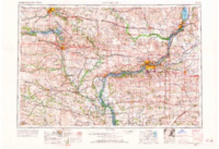
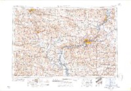
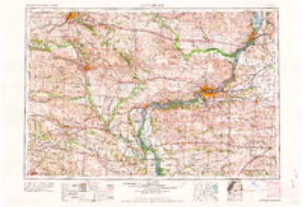
Topographic sheets covering this place
5 surveys from 8 printed sheetsMatched by testing this settlement's coordinate against the published boundary of every sheet in the United States Geological Survey's historical collection. Each opens the scanned sheet at the Survey.
- 1958 USGS Davenport quadrangle1:250000, 2 printings
- 1961 USGS Davenport quadrangle1:250000
- 1962 USGS Davenport quadrangle1:250000
- 1970 USGS Nichols quadrangle1:24000, 2 printings
- 1984 USGS Muscatine quadrangle1:100000, 2 printings
Storms near this place
3 since 2010Regional context, not property-specific evidence. The National Weather Service names Cranston in 3 storm reports between 2010 and 2026: 1 hail, 1 flood, 1 thunderstorm wind. No death or injury is recorded in these reports. Each account below is quoted exactly as the forecast office filed it, from the NOAA Storm Events Database, and each date opens the federal record of that event.
| When | Event | Place named | Harm | What the report says |
|---|---|---|---|---|
| April 2026 | Thunderstorm Wind | Cranston | - | A spotter sent a video showing a small tree downed along with partial outbuilding damage on 275th Street. This appeared to be a small outflow gustnado given its due south direction of movement and behavior seen in the video. |
| June 2013 | Flood | Cranston | - | The Cedar River at Conesville rose above the major flood stage of 16.5 feet in the early morning hours of the 2nd and fell below major flood stage in the early morning hours of the 5th. |
| June 2010 | Hail | Cranston | - | Quarter sized hail fell about 1 mile southeast of Cranston, IA around 427 pm June 14. |
Nearest settlements
The eight closest, with where each one stands in the county. Distances are straight-line, computed from the Geographic Names Information System coordinates.
| Map | Place | Distance | Sheets |
|---|---|---|---|
| Ardon | 4.0 miles | 9 | |
| Conesville | 4.7 miles | 8 | |
| Port Allen (historical) | 5.6 miles | 7 | |
| Fruitland | 7.2 miles | 9 | |
| Nichols | 7.5 miles | 8 | |
| Dayfield (historical) | 8.3 miles | 9 | |
| Kent Estates | 11.9 miles | 12 | |
| Muscatine | 12.0 miles | 12 |
Provenance
This settlement is recorded in the Geographic Names Information System as feature 455702. The sheet list is computed by point-in-boundary test against the United States Geological Survey's historical topographic inventory. Both are works of the United States government and carry no copyright under 17 U.S.C. 105.
Storms. NOAA National Centers for Environmental Information, Storm Events Database https://www.ncei.noaa.gov/stormevents/ A work of the United States government, no copyright under 17 U.S.C. 105. Narratives are quoted verbatim from the National Weather Service report and are not edited or summarised.