 Block
Elvira, Iowa
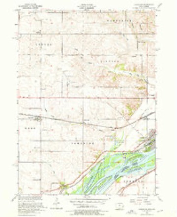
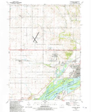
19 topographic sheets cover this place, the earliest surveyed in 1892 and the latest in 1991. It stands in Center Township. It lies in ZIP code area 52732. The Survey maps it on the Camanche quadrangle.
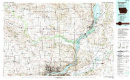
Topographic sheets covering this place
10 surveys from 19 printed sheetsMatched by testing this settlement's coordinate against the published boundary of every sheet in the United States Geological Survey's historical collection. Each opens the scanned sheet at the Survey.
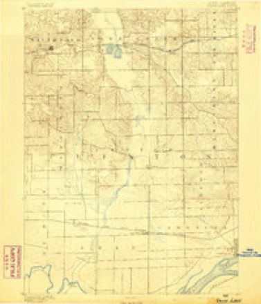
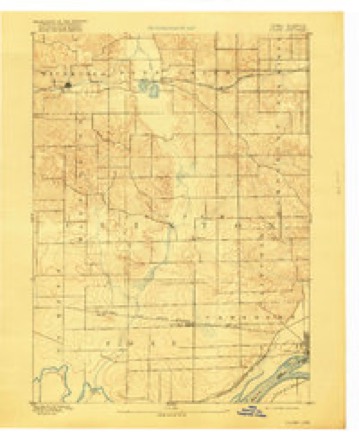
- 1892 USGS Goose Lake quadrangle1:62500
- 1894 USGS Goose Lake quadrangle1:62500, 3 printings
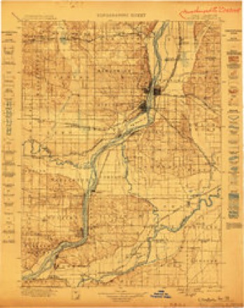
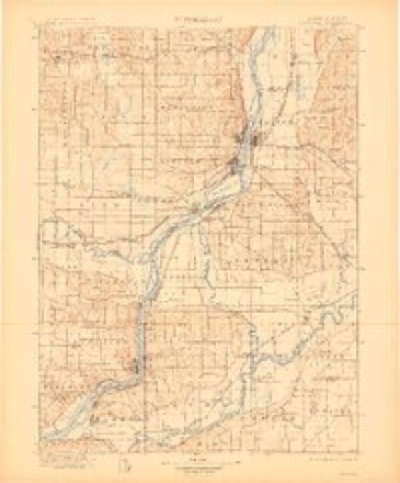
- 1899 USGS Clinton quadrangle1:125000
- 1899 USGS Cordova quadrangle1:125000, 4 printings
- 1953 USGS Camanche quadrangle1:24000, 3 printings
- 1958 USGS Davenport quadrangle1:250000, 2 printings
- 1961 USGS Davenport quadrangle1:250000
- 1962 USGS Davenport quadrangle1:250000
- 1984 USGS Davenport quadrangle1:100000, 2 printings
- 1991 USGS Camanche quadrangle1:24000
Fires near this place
2 since 2010Regional context, not property-specific evidence. The federal wildfire occurrence database lists 2 fires within 5 miles of Elvira between 2010 and 2018, burning about 53 acres in total. None started naturally. None was recorded as arson. Distance is straight-line from the map coordinates, so a fire counted here may appear on a neighbouring settlement's page as well.
| Reported cause | Fires |
|---|---|
| Missing data/not specified/undetermined | 2 |
The most recent of them, most recent first, with the day each was reported and the service that recorded it.
| Date | Cause | Size | Reported by | Name on the report |
|---|---|---|---|---|
| 1 April 2010 | Missing data/not specified/undetermined | 50 acres | Iowa Department of Natural Resources | 5930 44TH AVENUE S, CLINTON, IOWA |
| 19 March 2018 | Missing data/not specified/undetermined | 3.0 acres | Iowa Department of Natural Resources | not named |
Settlements close enough to share some of these fires:
Storms near this place
12 since 1994Regional context, not property-specific evidence. The National Weather Service names Elvira in 12 storm reports between 1994 and 2024: 5 hail, 5 thunderstorm wind, 2 tornado. No death or injury is recorded in these reports. Each account below is quoted exactly as the forecast office filed it, from the NOAA Storm Events Database, and each date opens the federal record of that event.
| When | Event | Place named | Harm | What the report says |
|---|---|---|---|---|
| June 1994 | Thunderstorm Wind | Elvira | $50,000 | A very unstable airmass remained in place over Iowa. The upper level high pressure built over the area. Meanwhile, a weak upper level disturbance moved west into the state. During the afternoon, the combination of heating and the upper level system was enough to finally break the cap. Thunderstorms fired rapidly by the early afternoon hours. The storms were mainly over the east half of Iowa. The strongest storms were over the north-central counties. Scattered reports of gusty winds were received over east-central Iowa. Trees were downed in Cedar County, a large machine shed was destroyed in Clayton County, and wind damage was also reported in Clinton County. The storms became tornadic over north-central Iowa. The reports of funnel clouds were too numerous to mention. Several touch downs occurred. Since wind flow and shear were both weak, the tornadoes were short lived. All but one of them were very weak tornadoes that touched down briefly in fields. Although the tornadoes were weak, a report of the tornado in southern Kossuth County indicated that it was between 40 and 100 meters in width. A strong tornado touched down in Garner, then moved south for about six miles. At Garner, the tornado struck a country club. Windows and doors were blown out at the club. A cadillac was picked up and tossed 250 feet onto a green at the club. The car was demolished. Four golf carts were also lifted and thrown through the air by the tornado. Windows were also blown out of a house in a nearby residential area. After passing through the country club, the tornado caused structural damage to two other businesses. The brick wall on one building was removed. At the other, damage to the building structure was reported, though not as serious. The rest of the tornado track was through open country south of Garner. The other fairly strong tornado touched down south of Britt. It caused damage to the two farmsteads that it moved through. The first farmstead it hit was vacant, the second was not. No injuries were reported, however several farm buildings and two silos were destroyed. The tornado formed first as two separate funnel clouds. The two merged, descended, and became a tornado south of Britt. The tornado moved southwest and became stationary in a field. The tornado reported grew in size as it remained stationary. It remained for a while before dissipating after a few minutes. |
| July 2003 | Hail | Elvira | $15,000 | no account filed |
| August 1994 | Hail | Elvira | $5,000 | no account filed |
| May 2024 | Tornado (EFU) | Elvira | - | A public video showed a tornado occurring in an open field near Elvira in Clinton County. No damage was reported, so the tornado is classified as EF-Unknown. |
| June 2019 | Thunderstorm Wind | Elvira | - | A photo of a machine shed destroyed with damage also to home and other sheds. A large overhead door was blown out. |
| August 2018 | Thunderstorm Wind | Elvira | - | A NWS Storm Survey Team found extensive damage to corn in the area. In Elvira, the roof of a large farm building was removed by the wind. Trees were also snapped in town. The wind speeds were estimated to be in the 80 to 90 MPH range. |
| May 2016 | Hail | Elvira | - | Hail size was reported from public with a picture received from social media. |
| May 2016 | Tornado (EF0) | Elvira | - | A traveler spotted a funnel going up and down which briefly touched down in a field with dirt debris about 2 miles northeast of Elvira. This report was relayed by the Clinton County Law Center. |
| May 2013 | Thunderstorm Wind | Elvira | - | Law enforcement reported a 10x15 foot building blown into the roadway in the northwest part of Clinton. |
| June 2007 | Thunderstorm Wind | Elvira | - | Trees were downed on the north side of Highway 30 near the Low Moor exit. Time estimated. |
| June 2011 | Hail | Elvira | - | no account filed |
| June 2009 | Hail | Elvira | - | no account filed |
Nearest settlements
The eight closest, with where each one stands in the county. Distances are straight-line, computed from the Geographic Names Information System coordinates.
| Map | Place | Distance | Sheets |
|---|---|---|---|
| Low Moor | 3.9 miles | 19 | |
| Ramessa (historical) | 4.1 miles | 18 | |
| Sixmile | 4.7 miles | 16 | |
| Malone | 5.5 miles | 18 | |
| Chaney (historical) | 5.8 miles | 19 | |
| Tenmile | 6.1 miles | 16 | |
| Camanche | 7.2 miles | 19 | |
| Shaffton | 7.2 miles | 19 |
Elsewhere
Matched on this settlement's Geographic Names Information System number rather than its name, so it cannot be a different place of the same name in another state.
| Wikipedia article on Elvira | An encyclopaedic summary. Its text is share-alike, so it is linked here rather than copied. |
| Wikidata item Q3250732 | The structured record the population and elevation above come from. Public domain (CC0). |
Provenance
This settlement is recorded in the Geographic Names Information System as feature 456352. The sheet list is computed by point-in-boundary test against the United States Geological Survey's historical topographic inventory. Both are works of the United States government and carry no copyright under 17 U.S.C. 105.
Wildfire. Short, Karen C. 2022. Spatial wildfire occurrence data for the United States, 1992-2020 [FPA_FOD_20221014]. 6th Edition. Fort Collins, CO: Forest Service Research Data Archive. https://doi.org/10.2737/RDS-2013-0009.6 Collected with United States Government funding and usable without additional permissions or fees.
Storms. NOAA National Centers for Environmental Information, Storm Events Database https://www.ncei.noaa.gov/stormevents/ A work of the United States government, no copyright under 17 U.S.C. 105. Narratives are quoted verbatim from the National Weather Service report and are not edited or summarised.