 Block
Grable, Iowa
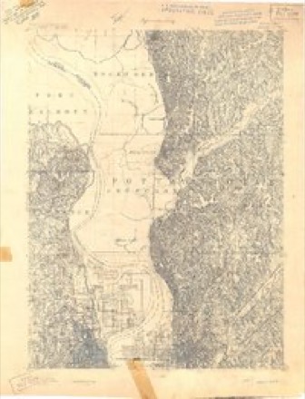
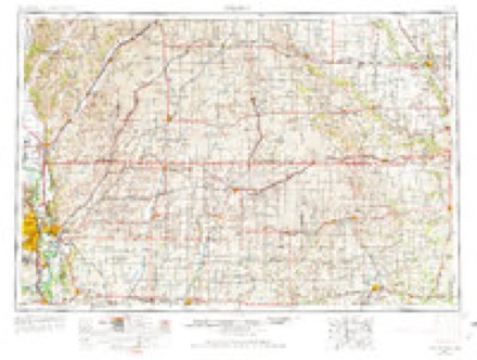
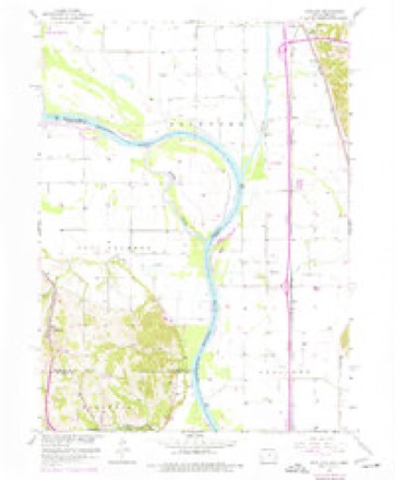
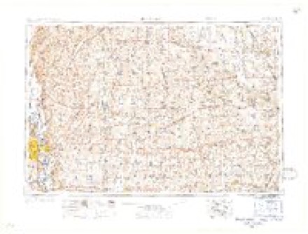
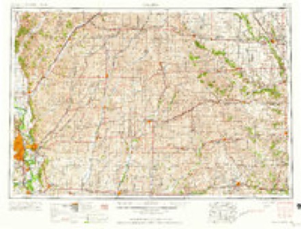
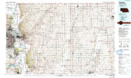
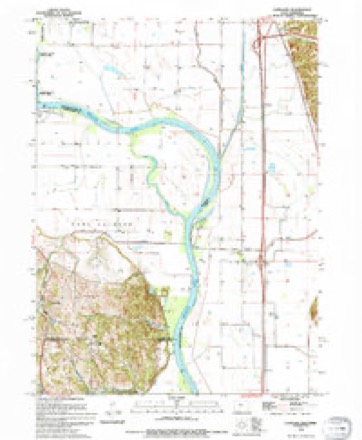
13 topographic sheets cover this place, the earliest surveyed in 1893 and the latest in 1994. It stands in Rockford Township. It lies in ZIP code area 51542. The Survey maps it on the Loveland quadrangle.
Topographic sheets covering this place
7 surveys from 13 printed sheetsMatched by testing this settlement's coordinate against the published boundary of every sheet in the United States Geological Survey's historical collection. Each opens the scanned sheet at the Survey.
- 1893 USGS Omaha quadrangle1:62500
- 1954 USGS Omaha quadrangle1:250000, 3 printings
- 1957 USGS Loveland quadrangle1:24000, 3 printings
- 1957 USGS Omaha quadrangle1:250000
- 1958 USGS Omaha quadrangle1:250000, 2 printings
- 1985 USGS Omaha quadrangle1:100000, 2 printings
- 1994 USGS Loveland quadrangle1:24000
Fires near this place
30 since 2001Regional context, not property-specific evidence. The federal wildfire occurrence database lists 30 fires within 5 miles of Grable between 2001 and 2020, burning about 346 acres in total. 1 started naturally. 1 was recorded as arson. Distance is straight-line from the map coordinates, so a fire counted here may appear on a neighbouring settlement's page as well.
| Reported cause | Fires |
|---|---|
| Debris and open burning | 13 |
| Missing data/not specified/undetermined | 10 |
| Recreation and ceremony | 2 |
| Railroad operations and maintenance | 2 |
| Smoking | 1 |
| Arson/incendiarism | 1 |
| Natural | 1 |
The most recent of them, most recent first, with the day each was reported and the service that recorded it.
| Date | Cause | Size | Reported by | Name on the report |
|---|---|---|---|---|
| 27 May 2018 | Missing data/not specified/undetermined | 1.0 acres | Iowa Department of Natural Resources | not named |
| 24 May 2018 | Missing data/not specified/undetermined | under an acre | Iowa Department of Natural Resources | not named |
| 11 May 2018 | Railroad operations and maintenance | 1.0 acres | Iowa Department of Natural Resources | not named |
| 9 April 2016 | Recreation and ceremony | 1.0 acres | Iowa Department of Natural Resources | MOVANEY FIRE |
| 9 April 2014 | Debris and open burning | under an acre | Iowa Department of Natural Resources | not named |
| 6 April 2015 | Missing data/not specified/undetermined | under an acre | Iowa Department of Natural Resources | not named |
| 30 April 2018 | Debris and open burning | under an acre | Nebraska Forest Service | not named |
| 30 April 2001 | Recreation and ceremony | 45 acres | Boyer Chute National Wildlife Refuge | SIGNAL |
Settlements close enough to share some of these fires:
Mines and quarries near this place
3 within 5 milesRegional context, not property-specific evidence. The federal mineral resources record lists 3 workings within 5 miles of Grable: 2 unknowns, 1 past producer. None of them still produces. What was taken out: Sand and Gravel, Construction. Distance is straight-line from the map coordinates, so a quarry counted here may appear on a neighbouring settlement's page as well.
| Where | Site | Commodity | Status | Recorded |
|---|---|---|---|---|
| Loveland Sand Pit | Sand and Gravel, Construction | Past Producer | ||
| Unknown | Sand and Gravel, Construction | Unknown | ||
| Unknown | Sand and Gravel, Construction | Unknown |
Storms near this place
10 since 2010Regional context, not property-specific evidence. The National Weather Service names Grable in 10 storm reports between 2010 and 2024: 8 flood, 2 thunderstorm wind. No death or injury is recorded in these reports. Each account below is quoted exactly as the forecast office filed it, from the NOAA Storm Events Database, and each date opens the federal record of that event.
| When | Event | Place named | Harm | What the report says |
|---|---|---|---|---|
| August 2011 | Flood | Grable | $5,000,000 | Flooding along the Missouri River gradually worsened over western Pottawattamie county during June and July and persisted into August as record releases from Gavins Point Dam brought widespread flooding along the River. The river near Omaha climbed to a little under 36 feet by the end of June, flood stage is 29 feet, before falling slightly in July and a little more by early August. By the end of the month decreased releases from Gavins Point Dam had allowed the river to fall to around 31 feet. The flooding in Pottawattamie county closed roads along the river including 16 miles of Interstate 29 north of Council Bluffs and Interstate 680 east of north Omaha. Several parks and recreation areas were flooded along with parking lots and parts of the parking garages of 2 riverboat casinos. At least 100 homes in Council Bluffs were evacuated and about 10 businesses were closed. Tens of thousands of sandbags were filled and deployed to help shore up weak spots in the federal levee in the Council Bluffs area which came close to failing in July. Some homes near the river experienced seepage into basements from high ground water levels. Although river levels had dropped by the end of August, minor flooding persisted into September. The U.S. Army Corps of Engineers stated that a little over $6 million was spent on levee repair/work in Pottawattamie county. As the river fell by the end of August it became apparent that Interstate 680 had been undercut by the current completely destroying the pavement from the river to its junction with I29 near Crescent. The Iowa Farm Bureau Federation estimated that the flood event caused total crop and economic losses of $ 31.2 million in Pottawattamie county. |
| July 2011 | Flood | Grable | $3,000,000 | Flooding along the Missouri River gradually worsened over Pottawattamie county during June and persisted into July as record releases from Gavins Point Dam brought widespread flooding along the River. The river near Omaha climbed to a little under 36 feet by the end of June before falling slightly early in July before reaching a second peak around 36 feet in late July before falling slightly by early August. The flooding in Pottawattamie county closed 16 miles of Interstate 29 north of Council Bluffs and also closed I680 from the Mormon Bridge to its junction with I29 near Crescent. Several parks and recreation areas were also flooded along with the parking lots and parts of the parking garage of 2 riverboat casinos. Other county roads and farm land near the river were also flooded. At least 100 homes in Council Bluffs were evacuated and about 10 businesses were closed. Tens of thousands of sandbags were filled and deployed to help shore up weak spots in the federal levee in the Council Bluffs area. Some homes near the river experienced seepage into basements from high ground water levels. The flooding continued into August. As of early July the city of Council Bluffs had spent or committed over 5.5 million dollars for flood relief/prevention. |
| June 2011 | Flood | Grable | $200,000 | Flooding along the Missouri River gradually worsened over the area during June as record releases from Gavins Point Dam brought widespread flooding along the River. The river near Omaha climbed to around its 29 foot flood stage late in May, and then continued rising to a little under 36 feet by the end of June. The flooding in Pottawattamie county closed several parks and recreation areas and flooded parking lots and parts of the parking garage of 2 riverboat casinos. Some roads along the river also flooded including 16 miles of Interstate 29 north of Council Bluffs. At least 100 homes in Council Bluffs were evacuated and about 10 businesses were closed. Tens of thousands of sandbags were filled and deployed to help shore up weak spots in the federal levee in the Council Bluffs area. The flooding persisted into July. |
| March 2010 | Flood | Grable | $10,000 | The combination of melting snow and several rain episodes caused the Missouri River to flood southwest of Missouri Valley. The river flooded a few roads near the river and also the Wilson Island SRA where most of the 135-140 campsites were flooded. Damage likely occurred to the SRA's septic system and expenses were incurred after the event to pump the water out of low areas. |
| July 2010 | Flood | Grable | $10,000 | Lowland flooding from heavy rain over much of eastern Nebraska and western Iowa during most of June carried over through much of July into August along the Missouri River in the Omaha area. The high waters frequently flooded Wilson Island Park which remained closed from when it first flooded on June 18th through July and August. A few roads by the river also flooded. Rising water also periodically flooded a riverboat casino's parking lot and lower level of a parking garage. |
| June 2010 | Flood | Grable | $5,000 | Heavy rain over much of eastern Nebraska and western Iowa during most of June caused a prolonged period of flooding along the Missouri River, especially downstream of Omaha through Rulo. In addition, increased flows from the Platte River caused the Missouri River to back up a bit increasing levels in the Council Bluffs area and just upstream. The high waters flooded Wilson Island Park for over a week and also crossed a few roads by the river and approached the parking lots of riverboat casinos. |
| August 2010 | Flood | Grable | $1,000 | Lowland flooding from heavy rain over much of eastern Nebraska and western Iowa during most of June carried over through much of July into August along the Missouri River in the Omaha area. The high waters occasionally flooded Wilson Island Park and also crossed a few roads by the river. Rising water also periodically flooded a riverboat casino's parking lot and lower level of the parking garage. Although the river never reached official flood stage in Omaha it periodically rose toward it. |
| July 2024 | Flood | Grable | - | This is a continuation of river flooding from the end of June. River levels crested along this stretch of the Missouri at the end of June, hence flood waters were receding by this time. As such, the greatest impacts were felt in June (and discussed in the June entry for StormData). For the first part of July while flood waters continued to recede, continued impacts were felt in the form of residual flooding in low-lying areas of roads, trails, and riverfront properties. Large stretches of Interstate 29 and I-680 were reopened at 2 pm CDT on 7/3 by the Iowa DOT. Damage amounts can be found in June StormData. |
| June 2014 | Thunderstorm Wind | Grable | - | A particularly intense downburst occurred from northwest of Crescent through the town of Cresent to southeast of the city. In this area entire trees were uprooted, outbuildings were completely destroyed, partial roof removal was observed on houses, and crops were stripped. |
| August 2012 | Thunderstorm Wind | Grable | - | Thunderstorm wind gusts estimated at around 60 mph downed 4 power poles and flattened some crops in extreme western Pottawattamie county. |
Nearest settlements
The eight closest, with where each one stands in the county. Distances are straight-line, computed from the Geographic Names Information System coordinates.
| Map | Place | Distance | Sheets |
|---|---|---|---|
| Loveland | 1.9 miles | 13 | |
| Honey Creek | 3.3 miles | 12 | |
| Ascot | 3.9 miles | 13 | |
| Pigeon | 6.2 miles | 12 | |
| Crescent | 7.6 miles | 14 | |
| Clara | 8.1 miles | 15 | |
| Weston | 12.3 miles | 12 | |
| Carter Lake | 12.5 miles | 15 |
Elsewhere
Matched on this settlement's Geographic Names Information System number rather than its name, so it cannot be a different place of the same name in another state.
| Wikidata item Q122594102 | The structured record the population and elevation above come from. Public domain (CC0). |
Provenance
This settlement is recorded in the Geographic Names Information System as feature 464239. The sheet list is computed by point-in-boundary test against the United States Geological Survey's historical topographic inventory. Both are works of the United States government and carry no copyright under 17 U.S.C. 105.
Wildfire. Short, Karen C. 2022. Spatial wildfire occurrence data for the United States, 1992-2020 [FPA_FOD_20221014]. 6th Edition. Fort Collins, CO: Forest Service Research Data Archive. https://doi.org/10.2737/RDS-2013-0009.6 Collected with United States Government funding and usable without additional permissions or fees.
Mines and quarries. USGS Mineral Resources Data System (MRDS) https://mrdata.usgs.gov/mrds/ A work of the United States government, no copyright under 17 U.S.C. 105.
Storms. NOAA National Centers for Environmental Information, Storm Events Database https://www.ncei.noaa.gov/stormevents/ A work of the United States government, no copyright under 17 U.S.C. 105. Narratives are quoted verbatim from the National Weather Service report and are not edited or summarised.