 Block
Independence, Iowa
11 topographic sheets cover this place, the earliest surveyed in 1903 and the latest in 1984. It stands in Washington Township. It lies in ZIP code area 50644. It stands on Malone Creek. The Survey maps it on the Independence quadrangle. 6,064 people lived here at the 2020 count. It stands 935 feet above sea level.
Research this city
On record in Independence
Buildings and businesses the archive holds for this place. Each opens its own page, with the source record it came from.
On the National Register 12 of 14 shown
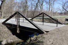 280th Street Bridgelisted 1998
 Fisher-Plane Commercial Buildinglisted 1997
 Mathias C. and Eva B. Crowell Fuhrman Farmlisted 1998
 Lee, Captain Daniel S. and Fannie L. (Brooks), Houselisted 2010
 Maas Commercial Buildinglisted 1998
 Malek Theatrelisted 2009
 Munson Buildinglisted 1976
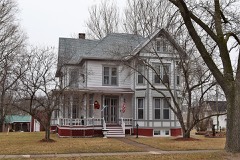 Plane, Robert R., and Julia L., Houselisted 1999
 Eliphalet W. and Catherine E. Jaquish Purdy Houselisted 1996
 Shellito, Dr. Judd C. and Margaret S. Clarke, Houselisted 1997
 Taylor's Ford Bridgelisted 1998
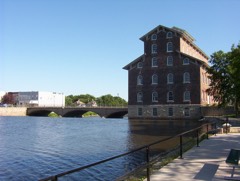 Wapsipinicon Milllisted 1975
Population over time
2 figuresIndependence grew from 5,966 to 6,064 between 2010 and 2020. These are the recorded population figures Wikidata holds for this place, reached through the Geographic Names Information System number this page is keyed on rather than by name, so they belong to this place and not to another of the same name. Most are census counts, but not all are: an early figure may be a founding or settlement estimate, and an estimate published within five years of a census is left out. The change column is computed, and is left blank where more than 20 years separate a figure from the one before it, because a gap that long is not a change between two counts.
| Year | People | Change |
|---|---|---|
| 2010 | 5,966 | |
| 2020 | 6,064 | +98 (+2%) |
Topographic sheets covering this place
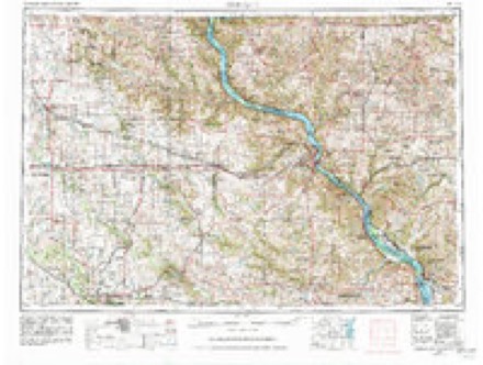
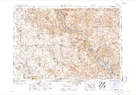
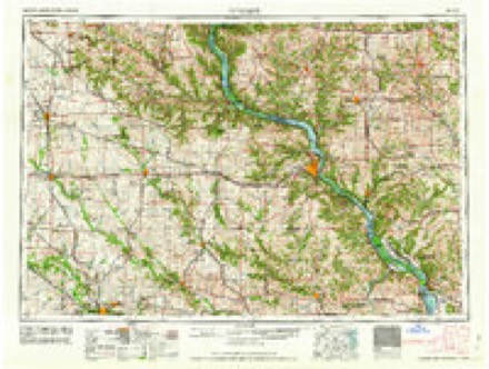
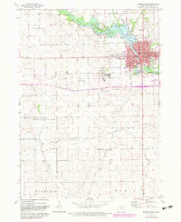
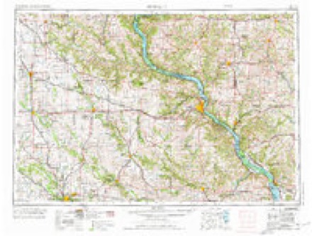
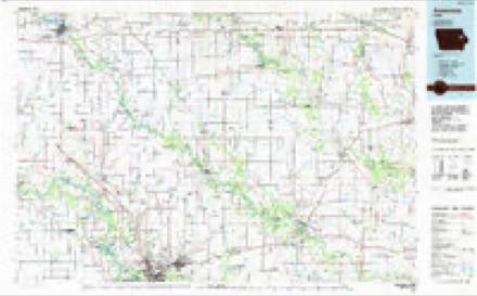
7 surveys from 11 printed sheetsMatched by testing this settlement's coordinate against the published boundary of every sheet in the United States Geological Survey's historical collection. Each opens the scanned sheet at the Survey.
- 1903 USGS Winthrop quadrangle1:125000, 2 printings
- 1959 USGS Dubuque quadrangle1:250000
- 1961 USGS Dubuque quadrangle1:250000
- 1962 USGS Dubuque quadrangle1:250000, 2 printings
- 1973 USGS Independence quadrangle1:24000, 2 printings
- 1976 USGS Dubuque quadrangle1:250000
- 1984 USGS Anamosa quadrangle1:100000, 2 printings
Fires near this place
23 since 2006Regional context, not property-specific evidence. The federal wildfire occurrence database lists 23 fires within 5 miles of Independence between 2006 and 2020, burning about 197 acres in total. None started naturally. 1 was recorded as arson. Distance is straight-line from the map coordinates, so a fire counted here may appear on a neighbouring settlement's page as well.
| Reported cause | Fires |
|---|---|
| Debris and open burning | 12 |
| Equipment and vehicle use | 5 |
| Missing data/not specified/undetermined | 4 |
| Recreation and ceremony | 1 |
| Arson/incendiarism | 1 |
The most recent of them, most recent first, with the day each was reported and the service that recorded it.
| Date | Cause | Size | Reported by | Name on the report |
|---|---|---|---|---|
| 31 August 2020 | Debris and open burning | under an acre | Iowa Department of Natural Resources | not named |
| 8 May 2020 | Debris and open burning | under an acre | Iowa Department of Natural Resources | not named |
| 29 April 2018 | Debris and open burning | 30 acres | Iowa Department of Natural Resources | not named |
| 28 April 2015 | Debris and open burning | 65 acres | Iowa Department of Natural Resources | not named |
| 25 April 2018 | Debris and open burning | 10 acres | Iowa Department of Natural Resources | not named |
| 23 April 2018 | Debris and open burning | 1.0 acres | Iowa Department of Natural Resources | not named |
| 23 April 2018 | Debris and open burning | 1.0 acres | Iowa Department of Natural Resources | not named |
| 22 April 2017 | Debris and open burning | 1.0 acres | Iowa Department of Natural Resources | not named |
Settlements close enough to share some of these fires:
Mines and quarries near this place
10 of 13 shownRegional context, not property-specific evidence. The federal mineral resources record lists 13 workings within 5 miles of Independence: 9 past producers, 4 producers. 4 still produce. What was taken out: Sand and Gravel, Construction, Stone, Crushed/Broken. Distance is straight-line from the map coordinates, so a quarry counted here may appear on a neighbouring settlement's page as well.
| Where | Site | Commodity | Status | Recorded |
|---|---|---|---|---|
| Brooks Quarry | Stone, Crushed/Broken | Producer | ||
| Miller Quarry | Stone, Crushed/Broken | Producer | ||
| Sells Quarry | Stone, Crushed/Broken | Past Producer | ||
| Greenley Pit | Sand and Gravel, Construction | Producer | ||
| Hertzberg Pit | Sand and Gravel, Construction | Past Producer | ||
| Miller Sand Pit | Sand and Gravel, Construction | Producer | ||
| Quality P M Pit | Sand and Gravel, Construction | Past Producer | ||
| Unknown | Sand and Gravel, Construction | Past Producer | ||
| Unknown | Sand and Gravel, Construction | Past Producer | ||
| Unknown | Sand and Gravel, Construction | Past Producer |
Storms near this place
60 of 157 shownRegional context, not property-specific evidence. The National Weather Service names Independence in 157 storm reports between 1996 and 2026: 86 thunderstorm wind, 42 hail, 14 flash flood, 6 flood. The reports record 3 injuries. Each account below is quoted exactly as the forecast office filed it, from the NOAA Storm Events Database, and each date opens the federal record of that event.
| When | Event | Place named | Harm | What the report says |
|---|---|---|---|---|
| April 2001 | Tornado (F1) | Independence | 3 hurt, $1,000,000 | no account filed |
| July 2016 | Flash Flood | Independence | $2,000,000 | A trained spotter reported flash flooding in Independence. The gravel road at the high school complex was washed out and the parking lot was under several inches of water. |
| July 2016 | Flash Flood | Independence | $500,000 | A trained spotter reported small streams are out of their banks with localized flash flooding in some parts of the town. Received over 2.5 inches of rain in 40 minutes. |
| May 2003 | Flash Flood | Independence | $250,000 | Cars abandoned on street |
| July 2003 | Thunderstorm Wind | Independence | $60,000 | no account filed |
| July 2009 | Thunderstorm Wind | Independence | $50,000 | Wind gusts estimated to be 75 mph blew a 50 foot tall grain bin over and snapped off some 5 to 8 inch diameter tree limbs about 3 miles north northeast of Independence, IA around 730 pm July 24. |
| July 2009 | Thunderstorm Wind | Independence | $50,000 | Wind gusts estimated to be 60 to 80 mph blew down several 2 to 3 foot diameter trees in Independence, IA around 745 pm July 24. One tree fell onto a house on Terrace Drive. |
| July 2008 | Thunderstorm Wind | Independence | $50,000 | Wind gusts estimated to be 70 mph destroyed a barn about 5 miles northeast of Independence, IA at 822 pm July 19. |
| July 2003 | Thunderstorm Wind | Independence | $50,000 | no account filed |
| July 2003 | Thunderstorm Wind | Independence | $30,000 | Trees down |
| May 2003 | Heavy Rain | Independence | $25,000 | no account filed |
| July 2008 | Thunderstorm Wind | Independence | $20,000 | Wind gusts estimated to be 70 mph damaged a storage shed, ripped the roof off a grain bin, damaged some crops, blew a 3 foot diameter tree down, and blew 5 to 6 inch diameter tree limbs down about 4 miles northeast of Independence, IA at 820 pm July 19. |
| June 2001 | Tornado (F0) | Independence | $20,000 | no account filed |
| July 2009 | Hail | Independence | $10,000 | Hail at least quarter-sized fell about 3 miles north northeast of Independence, IA around 730 pm July 24. One residence sustained hail damage to the siding. |
| June 2010 | Flash Flood | Independence | $5,000 | Heavy rains resulted in flash flooding near Winthrop, IA during the afternoon of June 15. Flood waters flowed over State Highway 939. |
| August 2007 | Flash Flood | Independence | $5,000 | Heavy rains fell across Buchanan County during the evening of August 19th causing some flash flooding. Flood waters covering Highway 150 in Independence, IA were about 1 foot deep. Water also flooded a few basements on the northeast side of Independence. Delayed report. |
| June 2004 | Lightning | Independence | $4,000 | Transformer struck at 414 7th Avenue NW |
| June 2010 | Thunderstorm Wind | Independence | $2,000 | A large limb from an oak tree damaged the roof of a house when the limb was blown down by severe thunderstorm wind. |
| April 2006 | Hail | Independence | $2,000 | penny to quarter size hail; sheriff office reported pea size hail in the city at the same time. |
| April 2006 | Hail | Independence | $2,000 | Spotter also reported straight line winds of unknown strength. |
| April 2006 | Lightning | Independence | $2,000 | Lightning strike at sheriff office |
| July 2008 | Thunderstorm Wind | Independence | $1,000 | Wind gusts estimated to be 60 mph damaged some fences, light poles, and signs near the Wal-Mart on the north side of Independence, IA around 4:00 am July 7. Portions of some nearby corn fields were also blown down. |
| April 2000 | Thunderstorm Wind | Independence | $500 | Tree branches down, reported by storm spotter. |
| April 2026 | Hail | Independence | - | The time was estimated from radar data. |
| April 2026 | Hail | Independence | - | Report was received from Mping. |
| August 2025 | Thunderstorm Wind | Independence | - | Personal weather station. |
| July 2025 | Flash Flood | Independence | - | A public report of flash flooding in Vinton. |
| July 2025 | Flash Flood | Independence | - | A trained spotter reported that water was halfway up on tires on cars. |
| July 2025 | Thunderstorm Wind | Independence | - | A Law Enforcement Officer reported a a few trees down in town from early AM storms. The time of the event was estimated using radar. |
| July 2025 | Thunderstorm Wind | Independence | - | A public report of a large tree down along with many 1 to 3 inch tree branches down. |
| July 2025 | Thunderstorm Wind | Independence | - | Mesonet station EW8796 Independence measured a 67 knot gust. |
| July 2025 | Thunderstorm Wind | Independence | - | A trained spotter report that a trees was leaning 15-20 degrees from vertical. |
| July 2025 | Thunderstorm Wind | Independence | - | A trained spotter reported that trees were blown down. |
| July 2025 | Thunderstorm Wind | Independence | - | The Emergency Manager reported that trees are down in town. |
| July 2025 | Thunderstorm Wind | Independence | - | A trained spotter reported some significant tree branch damage, 1 to 3 inches in diameter. Also there are reports of field corn blown down. |
| July 2025 | Thunderstorm Wind | Independence | - | A public report that large trees were uprooted. |
| July 2025 | Thunderstorm Wind | Independence | - | A public report of the top of a 12 inch diameter pine tree was snapped at this location. A walnut tree 1 mi NNE of here also lost a large 10 inch branch. The time of the event was estimated using radar. |
| July 2025 | Flash Flood | Independence | - | A public report of flash flooding in Independence. |
| May 2024 | Thunderstorm Wind | Independence | - | Widespread tree damage reported to northwest side of Independence, Iowa. Trees uprooted and blown over, roof damage to sheds, and leaning power poles. Time estimated from radar data. |
| May 2024 | Thunderstorm Wind | Independence | - | A large tree down, time estimated from radar data. |
| July 2024 | Thunderstorm Wind | Independence | - | A trained spotter estimated 40 to 50 MPH winds with 6 to 8 inch diameter branches down. |
| July 2023 | Thunderstorm Wind | Independence | - | Reported on a home weather station. |
| July 2022 | Thunderstorm Wind | Independence | - | The Emergency Manager reported trees and powerlines down across the county.The winds lasted for several minutes. . |
| July 2022 | Thunderstorm Wind | Independence | - | A trained spotter reported a 52 knots wind gust. |
| July 2022 | Thunderstorm Wind | Independence | - | A member of the public reported 6 to 8 inch tree limbs down. |
| July 2022 | Thunderstorm Wind | Independence | - | A trained spotter estimated thunderstorm wind gusts of 60 to 70 MPH. |
| August 2021 | Flash Flood | Independence | - | Debris from water flood over many roads, including Highway 150. Ditches remain full through the morning, with lots of standing water at the fairgrounds into the late morning. |
| August 2021 | Thunderstorm Wind | Independence | - | A large 8-10 inch diameter branch blown down. |
| August 2021 | Thunderstorm Wind | Independence | - | Measured wind gust. |
| June 2021 | Thunderstorm Wind | Independence | - | A large tree was blown down, along with a utility pole. |
| July 2020 | Hail | Independence | - | The hail lasted for 2 minutes. |
| July 2020 | Hail | Independence | - | The hail lasted for 2 minutes. |
| September 2020 | Thunderstorm Wind | Independence | - | A measured wind gust from a storm spotter. |
| September 2020 | Thunderstorm Wind | Independence | - | A strong wind gust was reported by broadcast media. |
| July 2020 | Hail | Independence | - | Numerous golf ball hailstones. |
| July 2020 | Thunderstorm Wind | Independence | - | A spotter estimated high winds. |
| June 2020 | Flood | Independence | - | A trained spotter reported that a nearby creek is out of its banks. |
| June 2019 | Thunderstorm Wind | Independence | - | Numerous large tree branches down, and few large trees snapped off 2 to 3 feet above ground. |
| June 2019 | Thunderstorm Wind | Independence | - | Tree limbs and utility lines blown down. |
| September 2019 | Thunderstorm Wind | Independence | - | A spotter reported several medium size branches down. |
Nearest settlements
The eight closest, with where each one stands in the county. Distances are straight-line, computed from the Geographic Names Information System coordinates.
| Map | Place | Distance | Sheets |
|---|---|---|---|
| Gatesville | 3.5 miles | 11 | |
| Doris | 4.1 miles | 11 | |
| Otterville | 4.1 miles | 12 | |
| Vista | 6.4 miles | 11 | |
| Wise | 7.1 miles | 9 | |
| Rowley | 7.2 miles | 11 | |
| Bryantsburg | 7.4 miles | 12 | |
| Winthrop | 8.2 miles | 11 |
Elsewhere
Matched on this settlement's Geographic Names Information System number rather than its name, so it cannot be a different place of the same name in another state.
| Wikipedia article on Independence | An encyclopaedic summary. Its text is share-alike, so it is linked here rather than copied. |
| Wikidata item Q598110 | The structured record the population and elevation above come from. Public domain (CC0). |
Provenance
This settlement is recorded in the Geographic Names Information System as feature 457782. The sheet list is computed by point-in-boundary test against the United States Geological Survey's historical topographic inventory. Both are works of the United States government and carry no copyright under 17 U.S.C. 105.
Wildfire. Short, Karen C. 2022. Spatial wildfire occurrence data for the United States, 1992-2020 [FPA_FOD_20221014]. 6th Edition. Fort Collins, CO: Forest Service Research Data Archive. https://doi.org/10.2737/RDS-2013-0009.6 Collected with United States Government funding and usable without additional permissions or fees.
Mines and quarries. USGS Mineral Resources Data System (MRDS) https://mrdata.usgs.gov/mrds/ A work of the United States government, no copyright under 17 U.S.C. 105.
Storms. NOAA National Centers for Environmental Information, Storm Events Database https://www.ncei.noaa.gov/stormevents/ A work of the United States government, no copyright under 17 U.S.C. 105. Narratives are quoted verbatim from the National Weather Service report and are not edited or summarised.