 Block
Lovington, Iowa
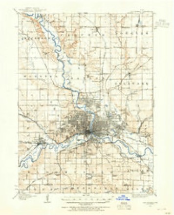
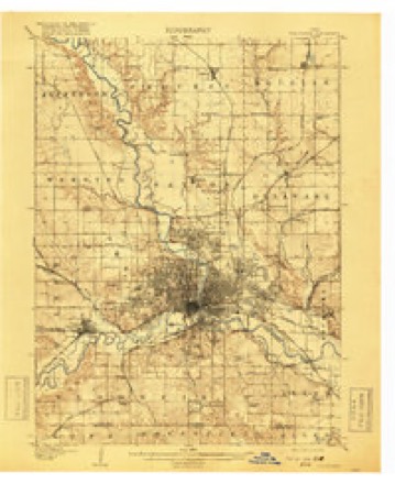
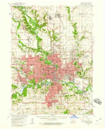
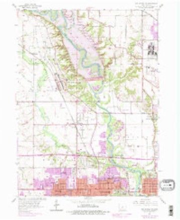
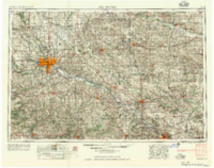
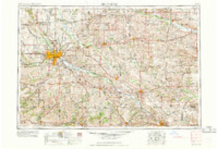
17 topographic sheets cover this place, the earliest surveyed in 1905 and the latest in 1984. It stands in Webster Township. It lies in ZIP code area 50310. It stands on Beaver Creek. The Survey maps it on the Des Moines NW quadrangle.
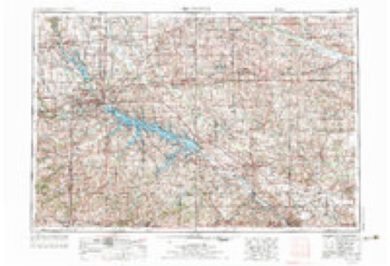
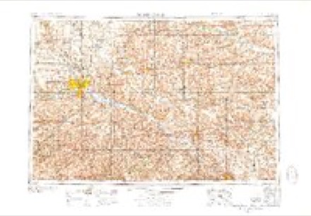
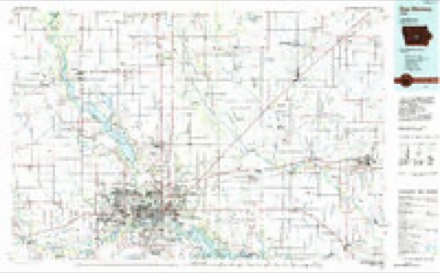
Topographic sheets covering this place
9 surveys from 17 printed sheetsMatched by testing this settlement's coordinate against the published boundary of every sheet in the United States Geological Survey's historical collection. Each opens the scanned sheet at the Survey.
- 1905 USGS Des Moines quadrangle1:62500
- 1907 USGS Des Moines quadrangle1:62500, 3 printings
- 1954 USGS Des Moines quadrangle1:250000, 2 printings
- 1956 USGS Des Moines quadrangle1:250000
- 1956 USGS Des Moines quadrangle1:62500
- 1956 USGS Des Moines NW quadrangle1:24000, 5 printings
- 1957 USGS Des Moines quadrangle1:250000
- 1969 USGS Des Moines quadrangle1:250000
- 1984 USGS Des Moines quadrangle1:100000, 2 printings
Fires near this place
16 since 2006Regional context, not property-specific evidence. The federal wildfire occurrence database lists 16 fires within 5 miles of Lovington between 2006 and 2019, burning about 74 acres in total. None started naturally. None was recorded as arson. Distance is straight-line from the map coordinates, so a fire counted here may appear on a neighbouring settlement's page as well.
| Reported cause | Fires |
|---|---|
| Missing data/not specified/undetermined | 11 |
| Equipment and vehicle use | 5 |
The most recent of them, most recent first, with the day each was reported and the service that recorded it.
| Date | Cause | Size | Reported by | Name on the report |
|---|---|---|---|---|
| 2 July 2011 | Missing data/not specified/undetermined | under an acre | Iowa Department of Natural Resources | U.S 20 @ N-57, IA |
| 3 June 2018 | Equipment and vehicle use | 1.0 acres | Iowa Department of Natural Resources | not named |
| 2 June 2018 | Equipment and vehicle use | 1.0 acres | Iowa Department of Natural Resources | not named |
| 19 May 2016 | Missing data/not specified/undetermined | 1.0 acres | Iowa Department of Natural Resources | CAMP DODGE |
| 17 May 2014 | Equipment and vehicle use | under an acre | Iowa Department of Natural Resources | not named |
| 14 May 2016 | Equipment and vehicle use | 1.0 acres | Iowa Department of Natural Resources | CAMP DODGE |
| 5 April 2014 | Missing data/not specified/undetermined | 10 acres | Iowa Department of Natural Resources | not named |
| 4 April 2015 | Missing data/not specified/undetermined | under an acre | Iowa Department of Natural Resources | not named |
Settlements close enough to share some of these fires:
Mines and quarries near this place
9 within 5 milesRegional context, not property-specific evidence. The federal mineral resources record lists 9 workings within 5 miles of Lovington: 5 past producers, 4 producers. 4 still produce. What was taken out: Sand and Gravel, Construction, Clay, Zinc, Stone, Crushed/Broken. Distance is straight-line from the map coordinates, so a quarry counted here may appear on a neighbouring settlement's page as well.
| Where | Site | Commodity | Status | Recorded |
|---|---|---|---|---|
| Drill Hole | Zinc | Past Producer | Sphalerite | |
| West Des Moines Plant #8 | Stone, Crushed/Broken | Producer | ||
| Can-Tex Industries West Pit | Clay | Producer | ||
| Iowa Clay Pipe Co. Pit | Clay | Past Producer | ||
| Des Moines North Pit & Plant | Sand and Gravel, Construction | Producer | ||
| Johnston Pit & Plant | Sand and Gravel, Construction | Producer | ||
| Morning Star Pit | Sand and Gravel, Construction | Past Producer | ||
| Unknown | Sand and Gravel, Construction | Past Producer | ||
| Unknown | Sand and Gravel, Construction | Past Producer |
Storms near this place
60 of 89 shownRegional context, not property-specific evidence. The National Weather Service names Lovington in 89 storm reports between 2008 and 2025: 40 hail, 23 thunderstorm wind, 13 heavy rain, 7 flash flood. The reports record 1 injury. Each account below is quoted exactly as the forecast office filed it, from the NOAA Storm Events Database, and each date opens the federal record of that event.
| When | Event | Place named | Harm | What the report says |
|---|---|---|---|---|
| February 2009 | Lightning | Lovington | 1 hurt, $2,000 | no account filed |
| August 2010 | Flash Flood | Lovington | $1,000,000 | Merle Hay flooded round 0800 with about 2 feet of water over the road. |
| June 2018 | Flash Flood | Lovington | $250,000 | Public reported street and guard rails starting to be washed away with the ground deteriorating. |
| July 2010 | Thunderstorm Wind | Lovington | $200,000 | Measured gust with several trees down. |
| July 2010 | Thunderstorm Wind | Lovington | $150,000 | Telephone pole snapped near the top. Power in the area reportedly out. |
| May 2019 | Hail | Lovington | $100,000 | The local media reported hail caused damage to the roofs of Hoover High School and Meredith Middle School, making some spaces unusable. Some classes had to be moved, and some ofthe classes were dismissed early on Friday for repairs to be made. Some of the classrooms were flooded as well. |
| May 2014 | Hail | Lovington | $100,000 | Reported near the intersection of Merle Hay Road and Meredith Drive. |
| June 2019 | Flash Flood | Lovington | $50,000 | Emergency manager reported multiple water rescues from motorists whose cars stalled out in ponded water in parts of the city of Des Moines. |
| June 2011 | Hail | Lovington | $50,000 | At 30th and Aurora in Des Moines. |
| May 2014 | Hail | Lovington | $50,000 | no account filed |
| June 2017 | Thunderstorm Wind | Lovington | $30,000 | NWS employee reported 4-5 snapped power poles along frontage road west of Merle Hay between Meredith and the Chapel Hill Gardens Cemetery. At least 2 snapped 1/3 to 1/2 up the pole, may have been more snapped, but uncertain. |
| May 2014 | Hail | Lovington | $25,000 | Beaverdale area report. |
| August 2010 | Flash Flood | Lovington | $25,000 | Four feet of flowing water down the street at Aurora and 30th St. |
| August 2010 | Flash Flood | Lovington | $25,000 | Trained spotter reported several stalled vehicles at the intersection of Beaver Drive and Valdez Drive. |
| May 2014 | Hail | Lovington | $25,000 | no account filed |
| May 2014 | Hail | Lovington | $25,000 | no account filed |
| May 2019 | Hail | Lovington | $20,000 | Trained spotter reported hail larger than quarters and water covering the roads up to and over the curbs. |
| June 2018 | Heavy Rain | Lovington | $20,000 | Public reported heavy rainfall of 2.68 inches so far. Multiple cars were stalled on Meredith Ave with 8 inches of water rushing down 67th St to Meredith. |
| May 2014 | Thunderstorm Wind | Lovington | $20,000 | Very large two to three foot diameter tree down on a car. |
| August 2012 | Thunderstorm Wind | Lovington | $20,000 | no account filed |
| August 2012 | Thunderstorm Wind | Lovington | $15,000 | High winds accompanied by quarter size hail. |
| September 2018 | Hail | Lovington | $10,000 | Trained spotter reported hail larger than golf balls. |
| November 2015 | Thunderstorm Wind | Lovington | $10,000 | Law Enforcement reported trees down east of Merle Hay Road. |
| May 2014 | Hail | Lovington | $10,000 | Reported at the I-80 and Merle Hay Road exchange. |
| July 2011 | Thunderstorm Wind | Lovington | $10,000 | Four inch diameter tree limbs were blown down. Heavy rain reported with winds increasing. |
| June 2009 | Hail | Lovington | $10,000 | no account filed |
| September 2019 | Lightning | Lovington | $5,000 | Lightning struck a tree exploding the limbs onto a nearby house causing damage to the house. They house had shifted some causing the front door to not be able to open. |
| May 2017 | Thunderstorm Wind | Lovington | $5,000 | Trained spotter reported 12 to 13 inch diameter tree snapped with branches in the street. Time estimated by radar. |
| May 2014 | Hail | Lovington | $5,000 | Reported at Holy Trinity School in Urbandale. |
| May 2014 | Thunderstorm Wind | Lovington | $5,000 | Measured at 42nd and Douglas Ave. |
| September 2013 | Thunderstorm Wind | Lovington | $5,000 | Twelve inch diameter pine tree snapped in half near Beaver and Amick. |
| September 2013 | Thunderstorm Wind | Lovington | $5,000 | A 16 inch diameter tree branch was down blocking the intersection of Clinton Ave and 38th St. |
| April 2012 | Thunderstorm Wind | Lovington | $5,000 | Estimated winds of 60 MPH. |
| June 2008 | Flash Flood | Lovington | $5,000 | Water over the road at 55th and Beaver Drive. |
| June 2008 | Flash Flood | Lovington | $5,000 | One foot of running water over the intersection of Douglas and Merle Hay Roads. |
| May 2014 | Hail | Lovington | $5,000 | no account filed |
| August 2009 | Thunderstorm Wind | Lovington | $3,000 | Large tree limbs down. |
| May 2014 | Hail | Lovington | $3,000 | no account filed |
| May 2014 | Hail | Lovington | $3,000 | no account filed |
| August 2012 | Hail | Lovington | $3,000 | no account filed |
| June 2009 | Hail | Lovington | $3,000 | no account filed |
| June 2018 | Thunderstorm Wind | Lovington | $2,000 | Trained spotter, via social media, reported large tree branches of 6 to 10 inches in diameter down. |
| April 2012 | Thunderstorm Wind | Lovington | $2,000 | Small trees were blown over. |
| August 2012 | Thunderstorm Wind | Lovington | $2,000 | Gusts of 59 and 62 MPH were measured by a home weather station in the Urbandale Cross Creek neighborhood. |
| July 2025 | Thunderstorm Wind | Lovington | $1,000 | Social media report of a tree down near Douglas and 50th with branches down in neighborhoods in the vicinity. Time estimated from radar. |
| July 2010 | Lightning | Lovington | $1,000 | Lightning hit a house and caused some blown circuits. |
| September 2010 | Hail | Lovington | $1,000 | no account filed |
| September 2010 | Hail | Lovington | $1,000 | no account filed |
| March 2025 | Hail | Lovington | - | MPing report. |
| June 2021 | Hail | Lovington | - | Quarter sized hail reported via mping. |
| July 2021 | Hail | Lovington | - | Report via mping app. |
| July 2021 | Hail | Lovington | - | Hail sized ranged from three quarters of an inch to as large as ping pong ball sized. |
| July 2021 | Hail | Lovington | - | Picture via social media of 3.25 inch hail in Beaverdale. Time estimated via radar. |
| July 2021 | Hail | Lovington | - | Report via mping app. |
| December 2021 | Thunderstorm Wind | Lovington | - | Public reported siding, shingle, and minor tree damage to townhomes. Report was relayed via broadcast media. Time estimated from radar. |
| May 2020 | Tornado (EF1) | Lovington | - | The tornado began near Terra Park and ended near Dewey Park in Johnston. Estimated peak wind speed of 95 mph was determined with damage to multiple large trees and power lines. No damage to buildings was noted. |
| July 2020 | Thunderstorm Wind | Lovington | - | Public report of 60 mph winds. |
| July 2020 | Heavy Rain | Lovington | - | A personal weather station recorded a 24 hour rain total of 2.16 inches. |
| July 2020 | Thunderstorm Wind | Lovington | - | Public report of trees down in the Beaverdale neighborhood. Time estimated via radar. |
| June 2020 | Hail | Lovington | - | Trained spotter reported 50 mph winds and small twigs broken with nickle hail in the Beaverdale neighborhood of Des Moines. |
Nearest settlements
The eight closest, with where each one stands in the county. Distances are straight-line, computed from the Geographic Names Information System coordinates.
| Map | Place | Distance | Sheets |
|---|---|---|---|
| Urbandale | 1.9 miles | 17 | |
| Johnston | 2.0 miles | 17 | |
| Crestwood | 3.1 miles | 16 | |
| Windsor Heights | 3.5 miles | 16 | |
| Clive | 3.6 miles | 16 | |
| Saylorville | 3.8 miles | 17 | |
| Camp Dodge | 3.9 miles | 17 | |
| Rider (historical) | 4.4 miles | 11 |
Provenance
This settlement is recorded in the Geographic Names Information System as feature 458648. The sheet list is computed by point-in-boundary test against the United States Geological Survey's historical topographic inventory. Both are works of the United States government and carry no copyright under 17 U.S.C. 105.
Wildfire. Short, Karen C. 2022. Spatial wildfire occurrence data for the United States, 1992-2020 [FPA_FOD_20221014]. 6th Edition. Fort Collins, CO: Forest Service Research Data Archive. https://doi.org/10.2737/RDS-2013-0009.6 Collected with United States Government funding and usable without additional permissions or fees.
Mines and quarries. USGS Mineral Resources Data System (MRDS) https://mrdata.usgs.gov/mrds/ A work of the United States government, no copyright under 17 U.S.C. 105.
Storms. NOAA National Centers for Environmental Information, Storm Events Database https://www.ncei.noaa.gov/stormevents/ A work of the United States government, no copyright under 17 U.S.C. 105. Narratives are quoted verbatim from the National Weather Service report and are not edited or summarised.