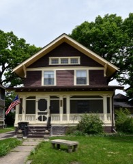
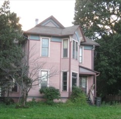
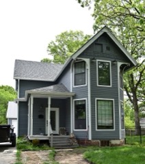
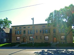
Block
From the record
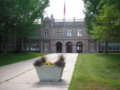
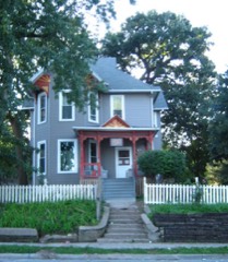
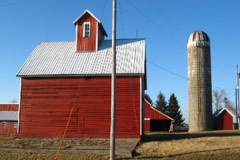
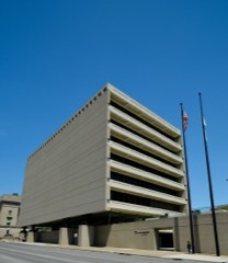
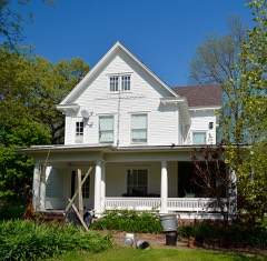
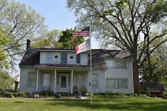
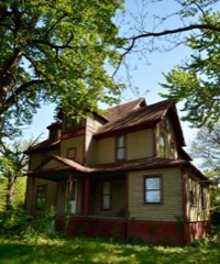
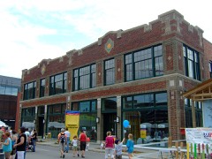
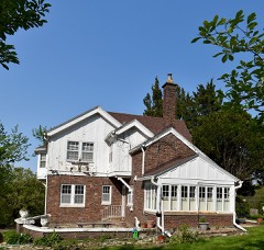
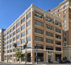
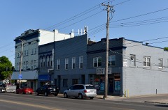
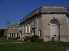
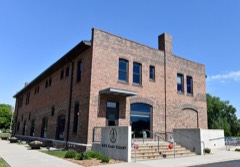
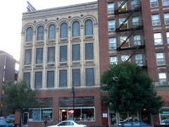
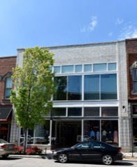
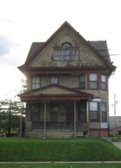
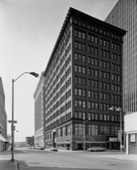
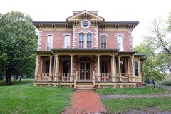
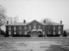
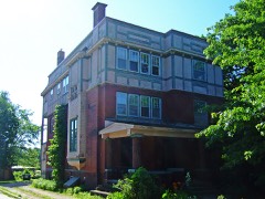
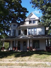
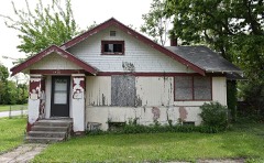
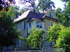
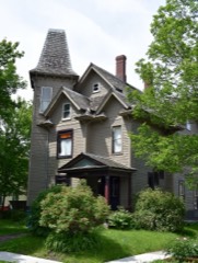
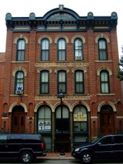
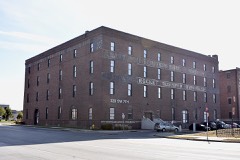
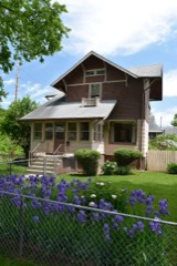
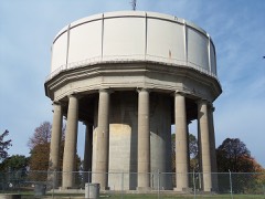
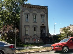
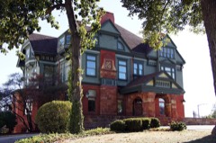
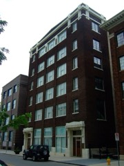
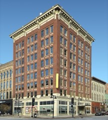
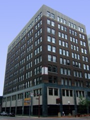
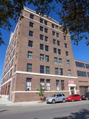
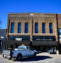
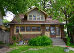
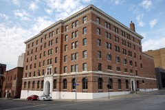
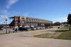
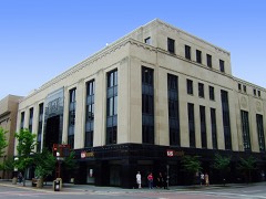
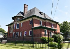
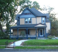
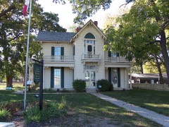
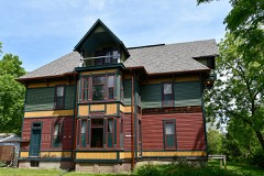
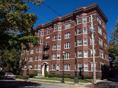
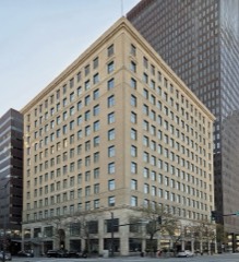
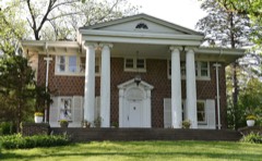
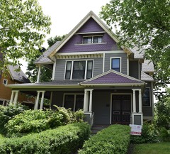
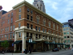
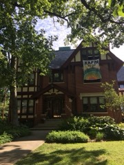
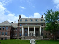
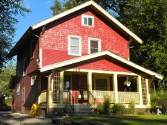
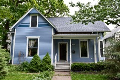
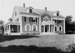
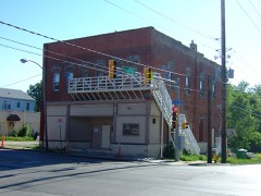
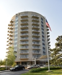
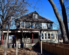
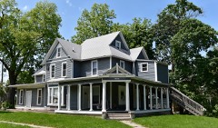
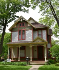
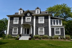
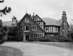
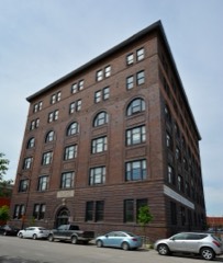
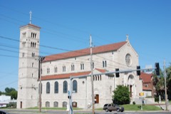
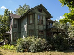
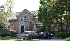
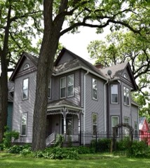
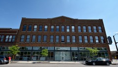
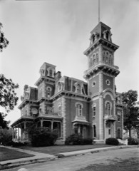
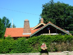
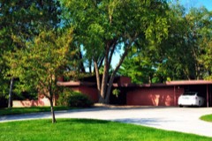
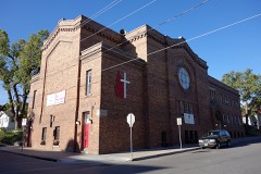
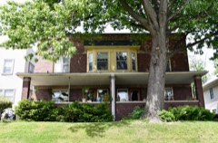
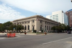
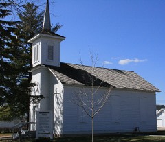
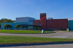
208 National Register listings published here, 3 of them National Historic Landmarks.
Sources: the National Register database, National Park Service
57 topographic sheets cover 62 settlements here, and 208 properties are on the National Register of Historic Places.
208 National Register listings published here, 3 of them National Historic Landmarks.
Sources: the National Register database, National Park Service
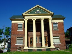
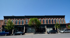
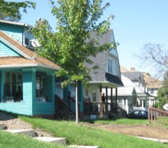
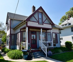
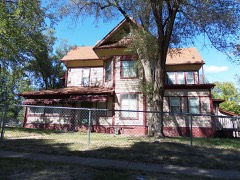
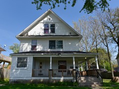
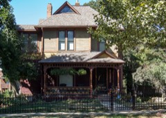
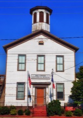
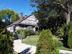
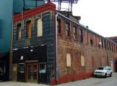
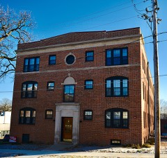
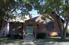
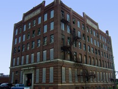
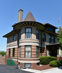
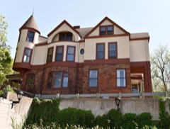
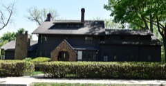
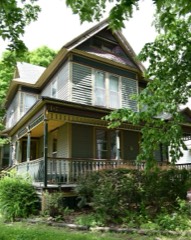
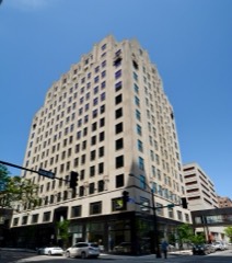
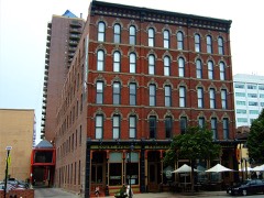
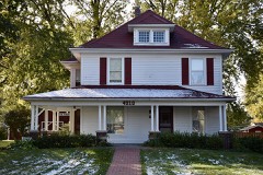
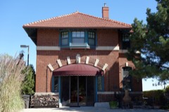
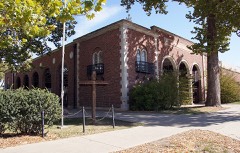
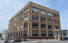
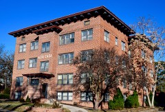
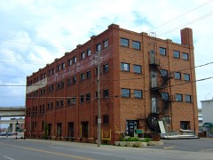
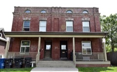
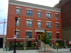
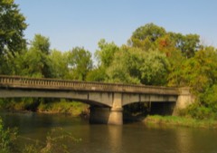
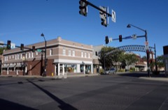
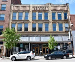
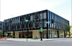
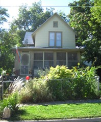
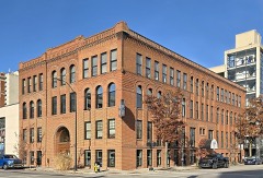
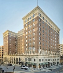
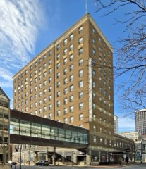
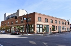
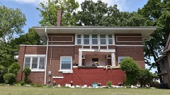
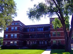
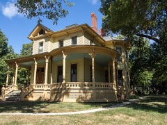
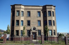
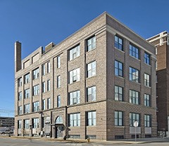
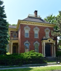
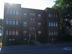
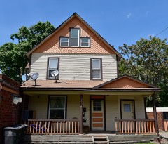
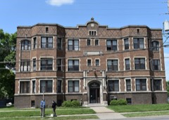
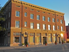
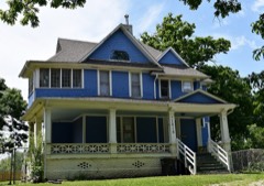
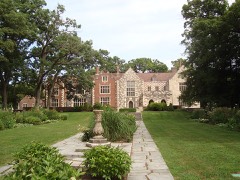
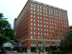
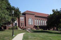
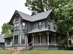
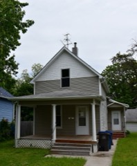
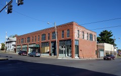
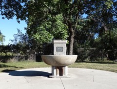
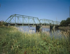
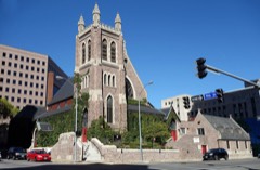
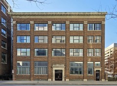
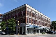
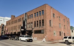
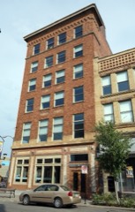
Every property in this county listed on the National Register of Historic Places, with the year it was listed and the federal nomination document.
Every wildfire the federal occurrence database records inside this county: 65 of them, burning about 1,389 acres. None started naturally and none was recorded as arson. Each settlement page carries the fires within five miles of it.
| Reported cause | Fires |
|---|---|
| Missing data/not specified/undetermined | 41 |
| Debris and open burning | 14 |
| Equipment and vehicle use | 9 |
| Smoking | 1 |
The five largest, by the area the report gives. None of them was recorded as arson.
| Date | Cause | Size | Reported by | Name on the report |
|---|---|---|---|---|
| 10 March 2017 | Equipment and vehicle use | 700 acres | Iowa Department of Natural Resources | not named |
| 23 March 2013 | Debris and open burning | 100 acres | Iowa Department of Natural Resources | not named |
| 11 April 2014 | Debris and open burning | 100 acres | Iowa Department of Natural Resources | not named |
| 6 March 2017 | Missing data/not specified/undetermined | 90 acres | Iowa Department of Natural Resources | not named |
| 28 March 2012 | Debris and open burning | 80 acres | Iowa Department of Natural Resources | not named |
| 31 October 2011 | Missing data/not specified/undetermined | 50 acres | Iowa Department of Natural Resources | 6570 NE 102ND AVE, IA |
| 22 April 2014 | Missing data/not specified/undetermined | 40 acres | Iowa Department of Natural Resources | not named |
| 19 October 2011 | Missing data/not specified/undetermined | 24 acres | Iowa Department of Natural Resources | 400 BLOCK OF SE 37TH ST. GRIMES, IA 50111, IA |
Every settlement page carries the fires within five miles of it - see the settlement index below.
The NOAA Storm Events Database holds 2,154 reports for this county, causing 6 deaths, 211 injuries and about $265,467,200 in recorded property damage. Each settlement page carries the reports that name it.
| Kind of event | Reports |
|---|---|
| Thunderstorm Wind | 730 |
| Hail | 670 |
| Heavy Rain | 350 |
| Flood | 150 |
| Flash Flood | 118 |
| Tornado | 68 |
| Lightning | 42 |
| Funnel Cloud | 24 |
| Dust Devil | 2 |
The most serious of them, by death, then injury, then recorded damage. The accounts are quoted exactly as the forecast office filed them.
| When | Event | Place named | Harm | What the report says |
|---|---|---|---|---|
| June 1974 | Tornado (F4) | not stated | 2 killed, 50 hurt, $25,000,000 | no account filed |
| August 2010 | Flash Flood | Santiago | 1 killed, 4 hurt, $100,000 | Water rescue in progress regarding three vehicles with a total of 11 people near NE 8th Ave and NE 54th Ave. There was one fatality, 10 rescues and several injuries. |
| June 2018 | Flash Flood | Elkhart | 1 killed, $1,000,000 | Emergency manager reported multiple water rescues across Ankeny, Johnston, Des Moines and Urbandale. Vehicles were stalled out in street flooding with water half way up the doors of some cars. |
| February 1997 | Flash Flood | Des Moines | 1 killed, $30,000 | no account filed |
| June 2014 | Thunderstorm Wind | Des Moines | 1 killed, $1,000 | Thunderstorm winds blew down a large tree branch. A homeless individual died when a the branch fell on him at a homeless settlement along the banks of the Raccoon River east of Fluer Blvd. |
| June 1998 | Tornado (F2) | Grimes | 83 hurt, $10,000,000 | no account filed |
| June 1998 | Thunderstorm Wind | Des Moines | 40 hurt, $40,000,000 | no account filed |
| March 1990 | Tornado (F2) | not stated | 15 hurt, $2,500,000 | no account filed |
| May 2004 | Dust Devil | Des Moines | 5 hurt | no account filed |
| June 2009 | Thunderstorm Wind | Ankeny | 3 hurt | no account filed |
| May 2024 | Tornado (EF2) | Rider | 2 hurt, $5,200,000 | This was a long track tornado which started just to the southwest of the Johnston High School with fascia and soffit damage to houses along Catalina Drive. The tornado blew windows out of the high school and continued to produce tree and minor roof damage through the Ashton Point neighborhood. The tornado crossed Camp Dodge and blew down a tree along NW Beaver Drive before crossing Saylorville Reservoir. The tornadoes path took it between Polk City and Ankeny with EF0 damage to trees and houses along Highway 415 and NW 44th Street. The damage began to intensify as the tornado moved northeast with EF1 damage becoming more prevelent in neighborhoods south of Alleman. The first EF2 damage was found on 142nd Avenue just west of Interstate 35 with additional EF2 damage to several houses near the intersection of NE 150th Avenue and NE 29th Street on the east side of the Interstate. The path continued to widen with additional damage near the border with Story County. This tornado moved into Story County near the intersection of NE 42nd Street and NE 166th Avenue. This tornado produced two injuries in Polk County. |
| April 2001 | Lightning | Johnston | 2 hurt, $100,000 | no account filed |
| April 2024 | Tornado (EF2) | Ft Des Moines | 1 hurt, $1,500,000 | This tornado developed within the east side of the Des Moines Metro area just northwest of Easter Lake. Initial damage reports include damage to trees and fences and then eventually roof damage as the tornado progressed to the northeast. The tornado passed just to the southeast of James Cownie Soccer Complex and crossed the Des Moines River near the Des Moines Wastewater Treatment Plant. The tornado then passed into Pleasant Hill with numerous reports of EF2 damage to several houses on the south side of town with widespread roof and wall damage. The tornado weakened to the northeast and eventually dissipated on the far south side of Altoona. This tornado produced one non-life threatening injury. |
| September 2001 | Tornado (F1) | West Des Moines | 1 hurt, $500,000 | Tornado touched down on southwest edge of West Des Moines at the Glen Oaks Golf Club and swept into an apartment complex. Track was intermittent following the destruction of a garage unit there. |
| June 2005 | Lightning | Johnston | 1 hurt, $25,000 | no account filed |
| February 2009 | Lightning | Lovington | 1 hurt, $2,000 | no account filed |
| May 2013 | Thunderstorm Wind | Polk City | 1 hurt | Ten inch diameter tree branches blown down in Polk City. |
| March 2007 | Lightning | Des Moines | 1 hurt | no account filed |
| August 2004 | Lightning | West Des Moines | 1 hurt | no account filed |
| March 2022 | Tornado (EF2) | Avon | $75,000,000 | This tornado passed from Warren county into Polk county near the intersection of Highway 69 and County Line Road. The tornado crossed E Pine Avenue removing the roof of a house and then clipped the north edge of Avon producing EF2 damage to a couple of houses. The tornado then crossed the Des Moines River and impacted the Woodland Hills neighborhood damaging muliple structures. The damage continued to the northeast into less inhabited areas of eastern Polk county, however the tornado remained strong with EF2 damage at several locations along its path. The tornado crossed University Avenue near its intersection with NE 112th Street and then exited the county into Jasper county. |
| June 1998 | Thunderstorm Wind | Johnston | $10,000,000 | no account filed |
| June 2001 | Hail | West Des Moines | $9,500,000 | no account filed |
| June 2008 | Flash Flood | Des Moines | $7,000,000 | no account filed |
| June 2008 | Flood | Johnston | $6,000,000 | no account filed |
| June 1998 | Thunderstorm Wind | Des Moines | $4,000,000 | no account filed |
| June 1998 | Thunderstorm Wind | Altoona | $3,000,000 | no account filed |
| August 2002 | Thunderstorm Wind | Des Moines | $2,500,000 | no account filed |
| September 1986 | Tornado (F4) | not stated | $2,500,000 | no account filed |
| June 1986 | Tornado (F2) | not stated | $2,500,000 | no account filed |
| May 1983 | Tornado (F2) | not stated | $2,500,000 | no account filed |
| October 1966 | Tornado (F2) | not stated | $2,500,000 | no account filed |
| June 2018 | Flood | Capitol Hgts | $2,000,000 | Fourmile Creek at Easton Blvd crested at 17.47 feet on 1 July 2018 at 1030Z. |
| June 2018 | Flood | Windsor Hgts | $2,000,000 | Walnut Creek at Des Moines 63rd Street crested at 17.37 feet on 1 July 2018 at 1130Z. |
| June 2008 | Flood | Johnston | $2,000,000 | no account filed |
| June 1998 | Thunderstorm Wind | West Des Moines | $2,000,000 | no account filed |
| June 1998 | Thunderstorm Wind | Urbandale | $2,000,000 | no account filed |
| June 1998 | Thunderstorm Wind | Saylorville | $2,000,000 | no account filed |
| August 2010 | Flash Flood | Lovington | $1,000,000 | Merle Hay flooded round 0800 with about 2 feet of water over the road. |
| June 1998 | Flash Flood | Des Moines | $1,000,000 | no account filed |
| July 2024 | Tornado (EF1) | Clive | $500,000 | The tornado developed near the northwest I-35/80 urban loop and proceeded southeast through Urbandale, Windsor Heights, and into Des Moines, crossing I-235. Extensive tree damage occurred along the path along with damage to homes and power lines. |
| June 2018 | Flash Flood | Clover Hills | $500,000 | Trained spotter in Clive reported water running over the curbs on residential streets south of Hickman Dr. |
| August 2010 | Flash Flood | Youngstown | $500,000 | Polk County reports flash flooding in the 4300 block of Fairview near Dean Ave. Flood waters washed away railroad tracks and caused a derailment. |
| July 2010 | Flood | Des Moines | $500,000 | no account filed |
| July 2010 | Flood | Johnston | $500,000 | no account filed |
| June 2008 | Flood | (Dsm)Des Moines Intl | $500,000 | no account filed |
| April 2007 | Flood | Alleman | $500,000 | no account filed |
| June 1998 | Thunderstorm Wind | Des Moines | $500,000 | no account filed |
| June 1998 | Thunderstorm Wind | Urbandale | $500,000 | no account filed |
| April 1994 | Hail | Johnston | $500,000 | no account filed |
| May 2022 | Lightning | Des Moines | $400,000 | At 201 Grand Avenue, three condos suffered major damage and a fourth had minor damage from a fire believed to have been started by lightning according to firefighters. Time estimated using lightning data. |
| June 2018 | Flash Flood | Urbandale | $300,000 | A home was flooded by Rocklyn Creek which caused a divider wall in the duplex to fail and collapse. Two residents were stuck in side and swam to safety through a downstairs window. The remaining residents were evacuated. Soon after the home exploded due to a gas leak when the wall collapsed. The explosion damaged a few nearby homes as well. |
| August 2010 | Flash Flood | Windsor Hgts | $300,000 | Four lower level basement units in an eight unit apartment building were inundated with water and three houses nearby on NW 75th Street were damaged due to fast rising flood waters from North Walnut Creek. Water was chest deep in one apartment with firefighters having to break into apartments with an axe. Water was knee to waist high in the yard of one of the houses. The creek came up in roughly 45 minutes. The nearby Walnut Creek had a record crest early the morning of the 9th. |
| June 2008 | Flood | Pleasant Hill | $300,000 | no account filed |
| May 1996 | Flash Flood | Des Moines | $300,000 | no account filed |
| October 2019 | Hail | Des Moines | $250,000 | Public reported baseball sized hail via picture from social media. |
| July 2018 | Tornado (EF2) | Bondurant | $250,000 | The tornado developed about a mile and a half west of Bondurant. The tornado initially traveled through agricultural fields. The tornado entered western Bondurant and produced EF2 damage to a house on the western side of town. The tornado weakened as it moved east through town with only EF0 damage on the east side of the community. The tornado entered an agricultural field on the east side of town before dissipating. |
| June 2018 | Flash Flood | Urbandale | $250,000 | Public reported heavy rainfall of 2.68 inches measured at 8:47 pm. Multiple cars were also stalled on Meredith Ave with an estimated 8 inches of water rush down 67th St to Meredith. |
| June 2018 | Flash Flood | Ankeny | $250,000 | Public relayed a picture of water covering a residential street at NW 9th St and School St in Ankeny. |
| July 2018 | Flood | Clive | $250,000 | Walnut Creek at Clive I-35/80 went into flood from heavy rain that fell on the evening of June 30th into the early morning hours on July 1. |
| June 2018 | Flash Flood | Elkhart | $250,000 | Public reported that Delaware Ave was under water north of NE 36th St in Ankeny. |
The Survey's mineral resources record lists 35 workings inside this county. 10 still produce and 25 are closed or unrecorded. Each settlement page carries the workings within five miles of it.
| Commodity | Workings |
|---|---|
| Sand and Gravel, Construction | 26 |
| Stone, Crushed/Broken | 3 |
| Clay | 3 |
| Zinc | 2 |
| Flagstone | 1 |
The least common of them first, because a county's hundredth gravel pit says nothing its first ten did not.
| Where | Site | Commodity | Status | Recorded |
|---|---|---|---|---|
| Capitol Hill Sandstone Quarry | Flagstone | Past Producer | ||
| Drill Hole | Zinc | Past Producer | Sphalerite | |
| Occurrence | Zinc | Past Producer | Sphalerite | |
| Can-Tex Industries West Pit | Clay | Producer | ||
| Goodwin Brick and Tile Co. Clay Pit | Clay | Past Producer | ||
| Iowa Clay Pipe Co. Pit | Clay | Past Producer | ||
| Marquette Cement Plant | Stone, Crushed/Broken | Past Producer | ||
| Penn-Dixie Cement Plant | Stone, Crushed/Broken | Producer | ||
| West Des Moines Plant #8 | Stone, Crushed/Broken | Producer | ||
| Avon Pit | Sand and Gravel, Construction | Producer | ||
| Berwick Pit | Sand and Gravel, Construction | Past Producer | ||
| Bowser Pit | Sand and Gravel, Construction | Past Producer | ||
| Bradshaw Pit | Sand and Gravel, Construction | Past Producer | ||
| Commerce Pit and Plant | Sand and Gravel, Construction | Producer | ||
| Des Moines North Pit & Plant | Sand and Gravel, Construction | Producer | ||
| Fritz Pit | Sand and Gravel, Construction | Past Producer | ||
| I-35 and Army Post Road Pit | Sand and Gravel, Construction | Producer | ||
| Jester Park Pits | Sand and Gravel, Construction | Past Producer | ||
| Jester Pit No. 3 | Sand and Gravel, Construction | Past Producer | ||
| Johnston Pit & Plant | Sand and Gravel, Construction | Producer | ||
| Lehman Pit | Sand and Gravel, Construction | Past Producer | ||
| Long Pit | Sand and Gravel, Construction | Past Producer | ||
| Morning Star Pit | Sand and Gravel, Construction | Past Producer | ||
| Owens Farm Pit | Sand and Gravel, Construction | Past Producer | ||
| Pickle Farm Pit | Sand and Gravel, Construction | Past Producer | ||
| Robinson Pit | Sand and Gravel, Construction | Past Producer | ||
| Se 22nd St. Pit | Sand and Gravel, Construction | Past Producer | ||
| Stevens Pit | Sand and Gravel, Construction | Past Producer | ||
| Unknown | Sand and Gravel, Construction | Past Producer | ||
| Unknown | Sand and Gravel, Construction | Past Producer | ||
| Unknown | Sand and Gravel, Construction | Past Producer | ||
| Unknown | Sand and Gravel, Construction | Past Producer | ||
| Unknown | Sand and Gravel, Construction | Past Producer | ||
| West Des Moines Sand Plant | Sand and Gravel, Construction | Producer | ||
| White Pit and Plant | Sand and Gravel, Construction | Producer |
Named settlements recorded in the Geographic Names Information System, each with the topographic sheets covering it. Villages, hamlets and abandoned places alike. Each is shown with the nearest named watercourse or landform and the survey quadrangle it falls on.
Delaware township · 50032 · On Muchikinock Creek · Des Moines NE quadrangle
16 sheets, 1905 to 1984
Delaware township · 50317 · On Norwood Branch · Des Moines NE quadrangle
16 sheets, 1905 to 1984
Jefferson township · 50131 · On Little Beaver Creek · Des Moines NW quadrangle
17 sheets, 1905 to 1984
Four Mile township · 50327 · On Fourmile Creek · Des Moines SE quadrangle
16 sheets, 1905 to 1984
Walnut township · 50325 · On North Walnut Creek · Des Moines SW quadrangle
16 sheets, 1905 to 1984
Crocker township · 50226 · On Big Creek · Des Moines NW quadrangle
17 sheets, 1905 to 1984
No longer a settlement
Lee township · 50317 · On Norwood Branch · Des Moines SE quadrangle
16 sheets, 1905 to 1984
Walnut township · 50324 · On North Walnut Creek · Des Moines SW quadrangle
16 sheets, 1905 to 1984
Lee township · 50316 · Near Boatman Island · Des Moines SE quadrangle
16 sheets, 1905 to 1984
Lee township · 50317 · On Norwood Branch · Des Moines SE quadrangle
16 sheets, 1905 to 1984
Four Mile township · 50327 · On Fourmile Creek · Rising Sun quadrangle
11 sheets, 1930 to 1984
Webster township · 50310 · On Beaver Creek · Des Moines NW quadrangle
17 sheets, 1905 to 1984
Delaware township · 50317 · On Norwood Branch · Des Moines NE quadrangle
16 sheets, 1905 to 1984
Four Mile township · 50327 · On Little Fourmile Creek · Des Moines SE quadrangle
16 sheets, 1905 to 1984
Douglas township · 50021 · Des Moines NE quadrangle
16 sheets, 1905 to 1984
No longer a settlement
Franklin township · 50169 · On Santiago Creek · Mitchellville quadrangle
11 sheets, 1930 to 1984
Walnut township · 50265 · On Jordan Creek · Des Moines SW quadrangle
16 sheets, 1905 to 1984
Walnut township · 50265 · On Jordan Creek · Des Moines SW quadrangle
16 sheets, 1905 to 1984
Delaware township · 50021 · On Muchikinock Creek · Des Moines NE quadrangle
16 sheets, 1905 to 1984
Walnut township · 50324 · On North Walnut Creek · Des Moines SW quadrangle
16 sheets, 1905 to 1984
The vanished settlements of Polk County: the places named above that are no longer on the map.