 Block
O'Leary, Iowa
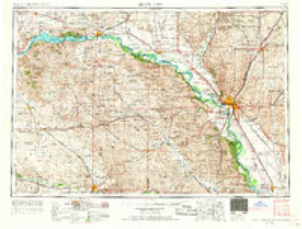
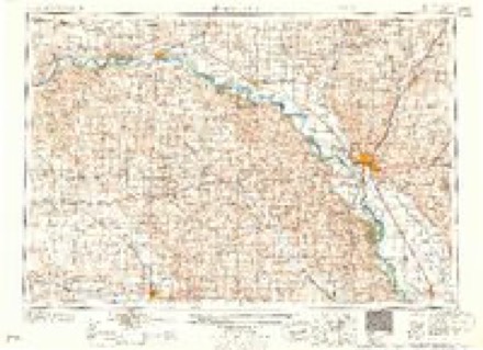
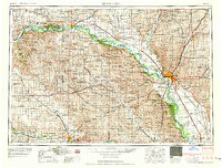
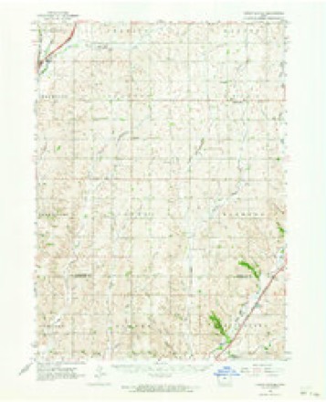
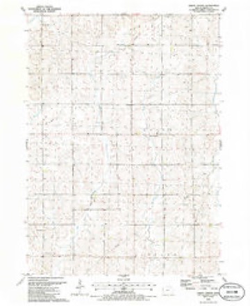
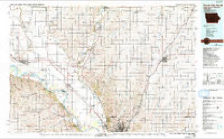
10 topographic sheets cover this place, the earliest surveyed in 1955 and the latest in 1986. It stands in Union Township. It lies in ZIP code area 51031. The Survey maps it on the Union Center quadrangle.
Topographic sheets covering this place
6 surveys from 10 printed sheetsMatched by testing this settlement's coordinate against the published boundary of every sheet in the United States Geological Survey's historical collection. Each opens the scanned sheet at the Survey.
- 1955 USGS Sioux City quadrangle1:250000, 4 printings
- 1958 USGS Sioux City quadrangle1:250000
- 1959 USGS Sioux City quadrangle1:250000
- 1962 USGS Union Center quadrangle1:62500
- 1985 USGS Union Center quadrangle1:24000
- 1986 USGS Sioux City North quadrangle1:100000, 2 printings
Mines and quarries near this place
2 within 5 milesRegional context, not property-specific evidence. The federal mineral resources record lists 2 workings within 5 miles of O'Leary: 2 past producers. None of them still produces. What was taken out: Sand and Gravel, Construction. Distance is straight-line from the map coordinates, so a quarry counted here may appear on a neighbouring settlement's page as well.
| Where | Site | Commodity | Status | Recorded |
|---|---|---|---|---|
| Hartsell and Evans | Sand and Gravel, Construction | Past Producer | ||
| Unknown | Sand and Gravel, Construction | Past Producer |
Storms near this place
15 since 2008Regional context, not property-specific evidence. The National Weather Service names O'Leary in 15 storm reports between 2008 and 2026: 7 hail, 6 thunderstorm wind, 1 tornado, 1 funnel cloud. No death or injury is recorded in these reports. Each account below is quoted exactly as the forecast office filed it, from the NOAA Storm Events Database, and each date opens the federal record of that event.
| When | Event | Place named | Harm | What the report says |
|---|---|---|---|---|
| June 2011 | Tornado (EF0) | O Leary | $20,000 | A tornado damaged several farm buildings and grain bins. |
| June 2021 | Hail | O Leary | $6,000 | Wind-driven hail produced considerable to total crop damage. Damage began around 4 miles southeast of Le Mars, and followed a nearly continuous 1 to 3 mile wide path for 17 miles to the southeast, crossing into Cherokee and Woodbury County around 6 miles east southeast of Kingsley. Hail varied from dime to quarter size along the path, with quarter size hail 3 miles north northeast of Kingsley at 1734 CST and 5 miles east northeast of Kingsley at 1738 CST. Winds were estimated as high as 60 to 65 mph. Damage was done to the siding of a house 1.5 miles east of O Leary at 1720 CST. The worst crop damage occurred from 3 miles north to 4 miles east of Kingsley, where hail was still 3 inches deep on roadways an hour after the storm. The path was determined from surface reports and Sentinel satellite data. Crop damage is an estimate from insured losses. Information provided by the United States Department of Agriculture. Property damage costs are a rough estimate. |
| September 2012 | Thunderstorm Wind | O Leary | $5,000 | Thunderstorm winds caused tree and power line damage, resulting in a power outage. |
| June 2021 | Thunderstorm Wind | O Leary | $2,000 | Thunderstorm winds snapped off a one-foot diameter tree a few feet above the ground. Property damage costs are a rough estimate. |
| June 2021 | Thunderstorm Wind | O Leary | $2,000 | A large playset was displaced by thunderstorm winds. Property damage costs are a rough estimate. |
| May 2024 | Thunderstorm Wind | O Leary | - | Multiple large tree limbs were broken off by thunderstorm outflow winds. |
| June 2021 | Funnel Cloud | O Leary | - | A brief funnel cloud was observed as the storm approached the viewer's location. |
| September 2010 | Thunderstorm Wind | O Leary | - | Thunderstorm winds caused tree damage, including a few branches blown down. The winds were accompanied by small hail. |
| June 2010 | Hail | O Leary | - | Golf ball size hail caused an unknown amount of damage to vehicles. |
| November 2008 | Hail | O Leary | - | Large hail covered the ground, and was accompanied by damaging winds. |
| November 2008 | Thunderstorm Wind | O Leary | - | Damaging thunderstorm winds were accompanied by large hail. |
| April 2026 | Hail | O Leary | - | no account filed |
| June 2018 | Hail | O Leary | - | no account filed |
| August 2015 | Hail | O Leary | - | no account filed |
| June 2014 | Hail | O Leary | - | no account filed |
Nearest settlements
The eight closest, with where each one stands in the county. Distances are straight-line, computed from the Geographic Names Information System coordinates.
| Map | Place | Distance | Sheets |
|---|---|---|---|
| Union Center | 1.0 miles | 10 | |
| Neptune | 6.0 miles | 10 | |
| Oyens | 7.8 miles | 10 | |
| Plymouth (historical) | 8.1 miles | 10 | |
| Le Mars | 8.3 miles | 10 | |
| Remsen | 8.7 miles | 9 | |
| Parkview Terrace | 9.1 miles | 10 | |
| Kingsley | 9.5 miles | 9 |
Provenance
This settlement is recorded in the Geographic Names Information System as feature 464675. The sheet list is computed by point-in-boundary test against the United States Geological Survey's historical topographic inventory. Both are works of the United States government and carry no copyright under 17 U.S.C. 105.
Mines and quarries. USGS Mineral Resources Data System (MRDS) https://mrdata.usgs.gov/mrds/ A work of the United States government, no copyright under 17 U.S.C. 105.
Storms. NOAA National Centers for Environmental Information, Storm Events Database https://www.ncei.noaa.gov/stormevents/ A work of the United States government, no copyright under 17 U.S.C. 105. Narratives are quoted verbatim from the National Weather Service report and are not edited or summarised.