 Block
Princeton, Iowa
21 topographic sheets cover this place, the earliest surveyed in 1892 and the latest in 1991. It stands in Princeton Township. It lies in ZIP code area 52768. It stands on Whiskey Run Creek. The Survey maps it on the Cordova quadrangle. 923 people lived here at the 2020 count. It stands 584 feet above sea level.
On record in Princeton
Buildings and businesses the archive holds for this place. Each opens its own page, with the source record it came from.
On the National Register 1 record
 Community Buildinglisted 2008
Population over time
2 figuresPrinceton grew from 886 to 923 between 2010 and 2020. These are the recorded population figures Wikidata holds for this place, reached through the Geographic Names Information System number this page is keyed on rather than by name, so they belong to this place and not to another of the same name. Most are census counts, but not all are: an early figure may be a founding or settlement estimate, and an estimate published within five years of a census is left out. The change column is computed, and is left blank where more than 20 years separate a figure from the one before it, because a gap that long is not a change between two counts.
| Year | People | Change |
|---|---|---|
| 2010 | 886 | |
| 2020 | 923 | +37 (+4%) |
Topographic sheets covering this place
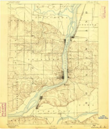
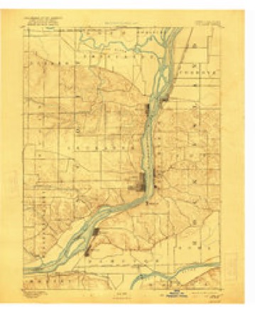
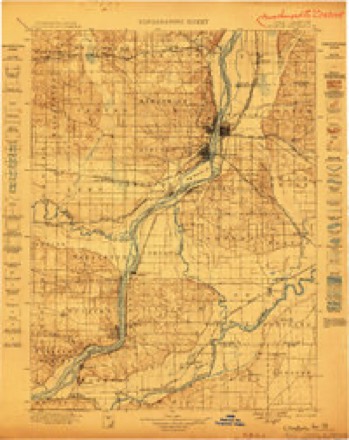
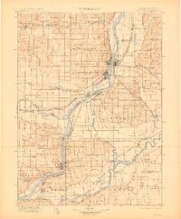
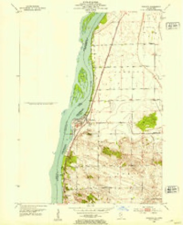
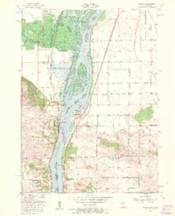
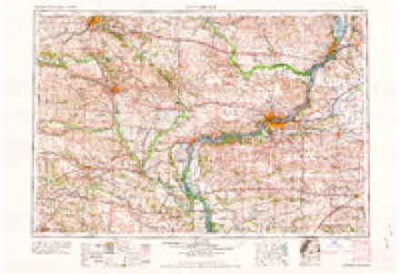
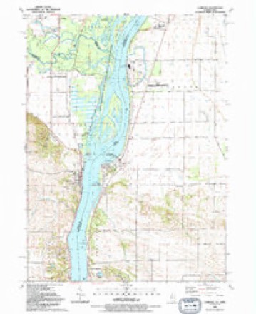
11 surveys from 21 printed sheetsMatched by testing this settlement's coordinate against the published boundary of every sheet in the United States Geological Survey's historical collection. Each opens the scanned sheet at the Survey.
- 1892 USGS Leclaire quadrangle1:62500
- 1893 USGS Leclaire quadrangle1:62500, 4 printings
- 1899 USGS Clinton quadrangle1:125000
- 1899 USGS Cordova quadrangle1:125000, 4 printings
- 1952 USGS Cordova quadrangle1:24000
- 1953 USGS Cordova quadrangle1:24000, 3 printings
- 1958 USGS Davenport quadrangle1:250000, 2 printings
- 1961 USGS Davenport quadrangle1:250000
- 1962 USGS Davenport quadrangle1:250000
- 1984 USGS Davenport quadrangle1:100000, 2 printings
- 1991 USGS Cordova quadrangle1:24000

Fires near this place
5 since 2008Regional context, not property-specific evidence. The federal wildfire occurrence database lists 5 fires within 5 miles of Princeton between 2008 and 2018, burning about 5 acres in total. None started naturally. None was recorded as arson. Distance is straight-line from the map coordinates, so a fire counted here may appear on a neighbouring settlement's page as well.
| Reported cause | Fires |
|---|---|
| Missing data/not specified/undetermined | 3 |
| Debris and open burning | 1 |
| Equipment and vehicle use | 1 |
The most recent of them, most recent first, with the day each was reported and the service that recorded it.
| Date | Cause | Size | Reported by | Name on the report |
|---|---|---|---|---|
| 8 July 2017 | Missing data/not specified/undetermined | 2.0 acres | Illinois Division of Forestry Resources | 17-117 |
| 1 May 2008 | Equipment and vehicle use | under an acre | Illinois Division of Forestry Resources | WHITETAIL DRIVE |
| 13 April 2009 | Missing data/not specified/undetermined | 1.0 acres | Iowa Department of Natural Resources | not named |
| 15 October 2017 | Missing data/not specified/undetermined | 1.0 acres | Illinois Division of Forestry Resources | 17-167 |
| 25 January 2018 | Debris and open burning | under an acre | Illinois Division of Forestry Resources | 18-022 |
Settlements close enough to share some of these fires:
Mines and quarries near this place
4 within 5 milesRegional context, not property-specific evidence. The federal mineral resources record lists 4 workings within 5 miles of Princeton: 3 past producers, 1 producer. 1 still produces. What was taken out: Stone, Crushed/Broken. Distance is straight-line from the map coordinates, so a quarry counted here may appear on a neighbouring settlement's page as well.
| Where | Site | Commodity | Status | Recorded |
|---|---|---|---|---|
| Cordova Quarry Butler Co. | Stone, Crushed/Broken | Past Producer | ||
| Cordova Quarrycollision Stone Co. | Stone, Crushed/Broken | Past Producer | ||
| Le Claire Quarry | Stone, Crushed/Broken | Producer | ||
| Princeton Quarry | Stone, Crushed/Broken | Past Producer |
Storms near this place
28 since 1994Regional context, not property-specific evidence. The National Weather Service names Princeton in 28 storm reports between 1994 and 2024: 14 thunderstorm wind, 7 hail, 3 tornado, 3 flood. No death or injury is recorded in these reports. Each account below is quoted exactly as the forecast office filed it, from the NOAA Storm Events Database, and each date opens the federal record of that event.
| When | Event | Place named | Harm | What the report says |
|---|---|---|---|---|
| June 2009 | Thunderstorm Wind | Princeton | $25,000 | Wind gusts estimated to be 70 mph blew down some power lines about 1 mile west of Princeton, IA around 540 pm June 27. |
| August 2010 | Thunderstorm Wind | Princeton | $10,000 | Wind gusts estimated to be 70 mph blew down a tree along 277th Avenue just north of Territorial Road on the north side of Le Claire, IA around 4 am CDT August 4. The tree fell onto some power lines snapping them. |
| May 1995 | Tornado (F0) | Princeton | $10,000 | no account filed |
| September 2005 | Thunderstorm Wind | Princeton | $8,000 | Thunderstorm winds downed 1.5 foot diameter trees and limbs on the west and south sides of town. |
| June 2005 | Thunderstorm Wind | Princeton | $5,000 | Large limbs down with damage to power lines. |
| April 1994 | Thunderstorm Wind | Princeton | $5,000 | The seasons first significant convective outbreak occurred during the evening hours of the 14th. The situation was similar to several others that occurred during the early spring with the exception that the moisture made it into the system in advance of the dynamics. Low pressure moved across Kansas and headed northeast into Iowa during the late afternoon and early evening hours. A warm front extended east from the low. To the south of the front was moist and very unstable air. The upper air sounding from the evening of the 14th from Topeka, Kansas indicated considerable instability. It revealed a CAPE (convective available potential energy) value of over 2600 J-Kg-1. Other indices also showed a great deal of instability. During the early evening, a strong southerly low level flow transported this moist and unstable air into Iowa. Thunderstorms erupted explosively over southwest Iowa during the early evening hours. What began as an area over the southwest counties rapidly developed northeast across the rest of the state. Severe weather was widespread from southwest through central into east-central Iowa. During the later evening hours, the entire area of thunderstorms sagged southeast into the moisture feed. Many of the storms produced winds of 35 to 50 mph and almost all produced at least pea- to marble-size hail. By far, the most significant severe weather feature with the storms was the hail. High winds from some of the storms resulted in damage and overturned tractor-semitrailers. Four tractor-semitrailers were overturned on Interstate 29 west of Mondamin by 65 to 70 mph winds. High winds later in the evening hours resulted in damage over eastern Iowa. Winds gusted to around 75 mph at Ryan. A pole barn was destroyed and a large barn knocked off of its foundation there. Damage was reported at other locations around the state by winds in the 60 to 70 mph range. An example was a barn that was destroyed by winds between Milton and Cantril in Van Buren County. Many tin construction buildings were damaged or destroyed. Serious wind damage occurred across the central part of the state. During the mid evening hours the storms developed into a bow echo configuration. The bow echo formed near central Iowa in Madison County. The bow echo then accelerated northeast across Dallas and Story Counties before breaking apart. Storm centroid movements from the WSR-88D radar at Johnston indicated the movement increased from 30 to 35 mph to around 55 mph within the bow echo. A broad swath of damage occurred with the bow echo. In the early stages, what appeared to be a gust front, or gustnado, touched down briefly in Macksburg. The first widespread damage from it was in Madison County south of Booneville. High winds of around 90 to 95 mph flattened two houses, 10 barns, and numerous out buildings. Damage in the area was estimated at $500,000 to $600,000. The same storm damaged two buildings and destroyed two large grain bins near Winterset a short time earlier. The high winds swept northeast into the Booneville area, where a farmstead was damaged. Sixty to seventy thousand dollars damage occurred to the farmstead. Structural damage occurred to the farm house and the ends were blown out of the barn. Debris was strewn across the road. The high winds continued northeast and could be traced into southern Story County. The damage path from the bow echo was about 10 miles wide. As the storm system crossed Interstate 35, at least five cars were blown off the road and two tractor-semitrailers were overturned at the 105 mile marker. The drivers of the two trucks sustained minor injuries, but did not require hospitalization. Farther north, damage was reported in the Ames area. A tractor-semitrailer was overturned just south of Ames and several grain bins were downed west of town. The bow echo eventually broke up, but scattered reports of high winds continued into Tama County and farther northeast. Hail accompanied most of the storms. All along the path of the bow echo metal buildings were damaged or flattened. Tin from them was strewn along fields downwind from one-half to one mile. Many areas reported 0.75- to 1.50-inch diameter hail. The most significant hail occurred over southwest Iowa with the initial development and with the bow echo. Golf ball-size hail pelted Cass, Pottawattamie, and Mills Counties. The largest hail reports came from Cass and Adair Counties. Three-inch diameter hail was reported southeast of Griswold in Cass County and south of Adair in Adair County. VIL (Vertical Intergrated Liquid) values from the WSR-88D were as high as 77 Kg-M-2 were indicated. Large hail also occurred with the bow echo. Numerous reports of up to golf ball-size hail were received with its passage. Over the northern sections of the Des Moines metropolitan area, baseball-size hail was reported. As the entire area of storms advanced east, the size of the hail dropped off. Reports over eastern Iowa were generally around 0.50- to 0.75-inch. Hail damage was mainly to property. Significant damage occurred to cars as well as roofs due to the hail. Crop damage was limited as most of the crop had not yet been planted. Some damage occurred to winter wheat and oats over the southwest counties, however. Two other tornadoes occurred. The first was with the cells over western into central Iowa. One of them took on more of a supercell structure and spawned a brief tornado touchdown in the Fontanelle area. Damage was minor with this tornado as it traversed open country. Another tornado touched down in Marshall County north of State Center. It caused damage at one farm stead there. A barn was destroyed, a metal machine shed damaged, another shed moved off of its foundation, and some structural damage to two houses there. Several trees were snapped off as well as a one permanent road sign. Lightning struck a house in Des Moines as the line passed. Lightning blew a hole in the roof and caused a small fire. Damage was about $3,500. During the later evening hours, the thunderstorms propagated east. At the same time another area of thunderstorms developed and moved northeast out of Missouri. As these storms moved across eastern Iowa, spotty wind and hail damage was reported. Hail was generally around three-quarters of an inch or just above in diameter. Gusty winds occurred with all of the storms, but most of the damage occurred in Delaware and Clinton Counties. High winds caused roof damage in Grand Mound, and tore the roof off of a building in Elwood. Both of these were in Clinton County. |
| June 1998 | Thunderstorm Wind | Princeton | $1,000 | Wires were downed by gusty thunderstorm winds. |
| June 1994 | Tornado (F0) | Princeton | $500 | A cold front moved southeast across Iowa during the day. For the most part it passed through the state with little more than a shift in the wind direction. Strong thunderstorms erupted ahead of the cold front over the far east-central counties. Funnel clouds were reported in the Quad-Cities area. One brief tornado touchdown occurred in Scott County. No significant damage was reported with this tornado. |
| July 2024 | Flash Flood | Princeton | - | A public report of McCarty Creek overflowed its banks and caused huge ruts along Territorial Road. The time of the event was estimated using radar. |
| June 2024 | Thunderstorm Wind | Princeton | - | Pine tree snapped by the thunderstorm winds and fell on a house. |
| July 2023 | Thunderstorm Wind | Princeton | - | Tree branches were broken and one large tree was snapped near the base. |
| June 2022 | Thunderstorm Wind | Princeton | - | An area where most trees were significantly damaged, and some whole mature trees blown down. |
| June 2020 | Thunderstorm Wind | Princeton | - | A large tree reported down. |
| May 2019 | Flood | Princeton | - | The Mississippi River at Le Claire (LECI4) began the month above its major flood stage of 13.5 feet and reached a crest level of 16.51 feet at 1030 AM May 2nd. The river fell below major flood stage in the morning on May 9th. |
| June 2019 | Flood | Princeton | - | The Wapsipinicon River at De Witt 4 South remained above major flood stage of 12.5 feet from the end of May through the early morning hours of June 4th. |
| May 2018 | Hail | Princeton | - | A public report of hail up to the size of 1 inch in diameter was received. |
| July 2017 | Thunderstorm Wind | Princeton | - | A NWS employee reported a tree was uprooted. |
| July 2016 | Tornado (EF1) | Princeton | - | A NWS storm survey team reported a brief EF-1 tornado did some damage to corn crops and some hardwood trees were snapped off. |
| July 2014 | Flood | Princeton | - | Heavy rains that fell across the Upper Midwest during the last two weeks of June brought the Mississippi River at LeClaire above its major flood stage of 13.5 at approximately 200 PM and fell below major flood stage around 1225 PM on July 7. The river crested at 14.4 feet from 600 PM July 3 to 600 PM on July 5. |
| June 2013 | Thunderstorm Wind | Princeton | - | A trained spotter reported that debris was being lofted by winds along Highway 67 between Folletts and Princeton. |
| May 2012 | Thunderstorm Wind | Princeton | - | An NWS employee reported several trees down near Territorial Road north of LeClaire. The time of the event was estimated by radar and other nearby reports. |
| May 2012 | Thunderstorm Wind | Princeton | - | Tree limbs were reported down in the area. This caused 4 power lines to be downed from the limbs. Time of this event was estimated from radar. |
| April 2010 | Hail | Princeton | - | Non-severe hail (<1.0) fell in Princeton, IA at 612 pm April 4. The hail covered the ground. |
| September 2005 | Hail | Princeton | - | Nickel sized hail. |
| June 2020 | Hail | Princeton | - | no account filed |
| June 2020 | Hail | Princeton | - | no account filed |
| May 2012 | Hail | Princeton | - | no account filed |
| May 2000 | Hail | Princeton | - | no account filed |
Nearest settlements
The eight closest, with where each one stands in the county. Distances are straight-line, computed from the Geographic Names Information System coordinates.
| Map | Place | Distance | Sheets |
|---|---|---|---|
| Rivercrest Estates | 0.4 miles | 21 | |
| Le Claire | 5.3 miles | 23 | |
| Argo | 5.9 miles | 20 | |
| Great Oaks | 7.0 miles | 21 | |
| Sherton Heights | 7.3 miles | 21 | |
| McCausland | 7.3 miles | 20 | |
| Carriage Place | 7.4 miles | 21 | |
| Pleasant Valley | 8.5 miles | 21 |
Elsewhere
Matched on this settlement's Geographic Names Information System number rather than its name, so it cannot be a different place of the same name in another state.
| Wikipedia article on Princeton | An encyclopaedic summary. Its text is share-alike, so it is linked here rather than copied. |
| Wikidata item Q1928154 | The structured record the population and elevation above come from. Public domain (CC0). |
Provenance
This settlement is recorded in the Geographic Names Information System as feature 460455. The sheet list is computed by point-in-boundary test against the United States Geological Survey's historical topographic inventory. Both are works of the United States government and carry no copyright under 17 U.S.C. 105.
Wildfire. Short, Karen C. 2022. Spatial wildfire occurrence data for the United States, 1992-2020 [FPA_FOD_20221014]. 6th Edition. Fort Collins, CO: Forest Service Research Data Archive. https://doi.org/10.2737/RDS-2013-0009.6 Collected with United States Government funding and usable without additional permissions or fees.
Mines and quarries. USGS Mineral Resources Data System (MRDS) https://mrdata.usgs.gov/mrds/ A work of the United States government, no copyright under 17 U.S.C. 105.
Storms. NOAA National Centers for Environmental Information, Storm Events Database https://www.ncei.noaa.gov/stormevents/ A work of the United States government, no copyright under 17 U.S.C. 105. Narratives are quoted verbatim from the National Weather Service report and are not edited or summarised.