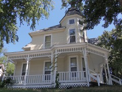
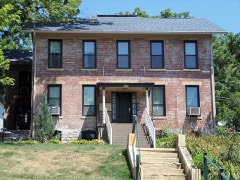
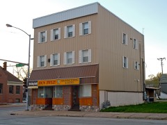
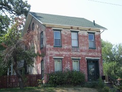
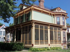
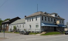
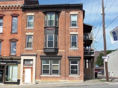
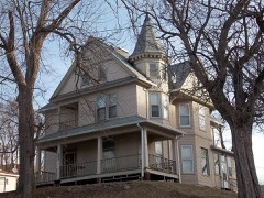
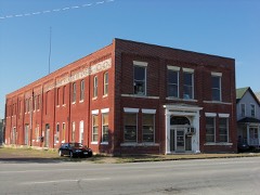
Block
From the record
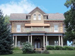
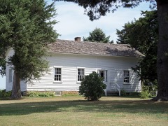
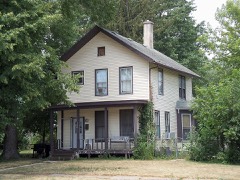
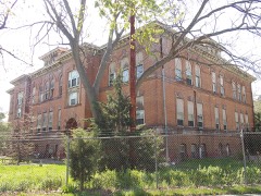
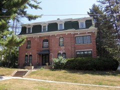
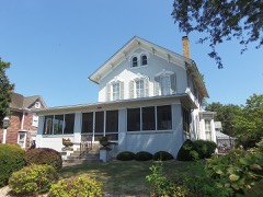
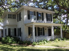
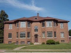
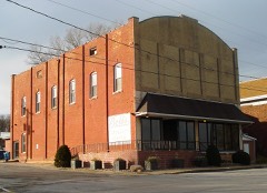
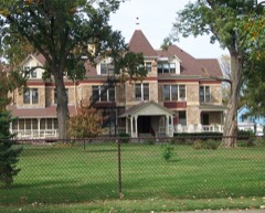
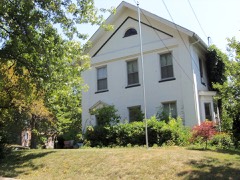
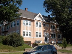
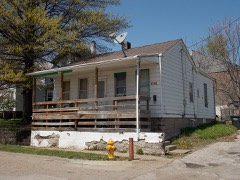
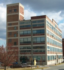
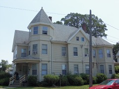
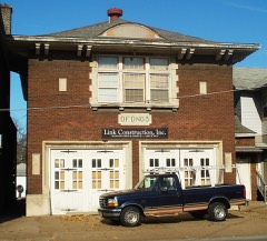
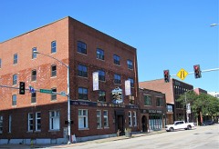
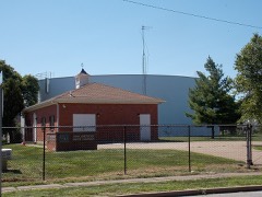
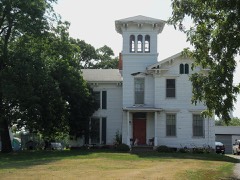
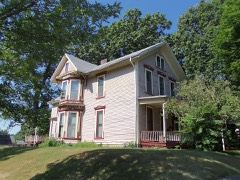
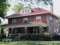
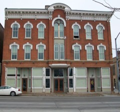
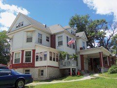
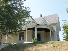
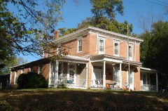
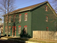
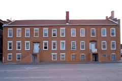
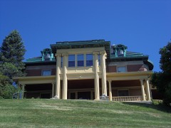
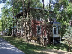
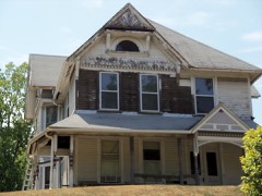
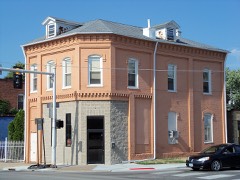
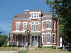
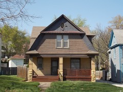
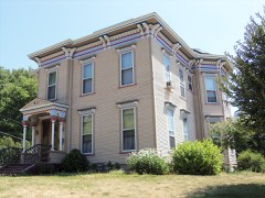
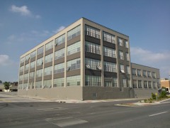
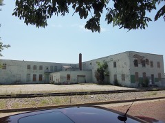
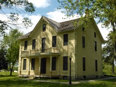
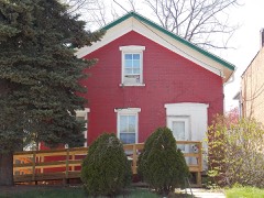
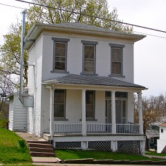
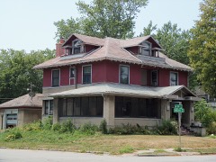
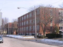
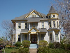
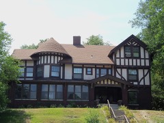
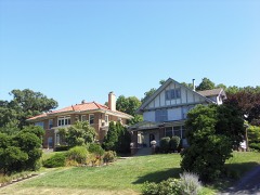
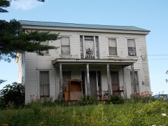
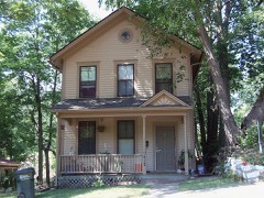
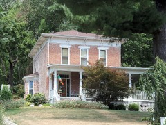
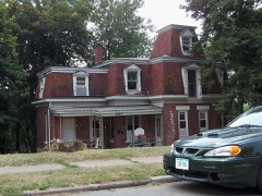
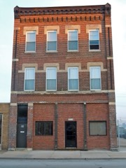
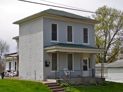
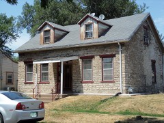
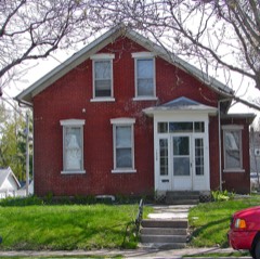
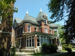
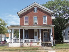
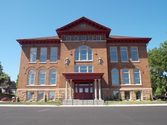
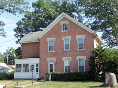
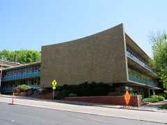
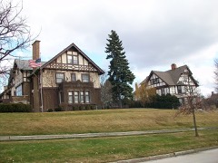
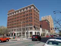
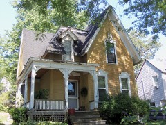
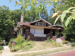
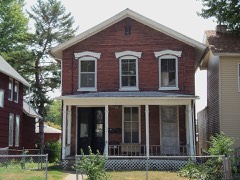
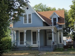
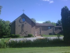
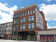
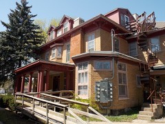
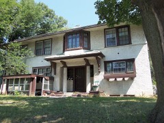
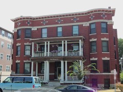
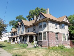
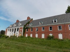
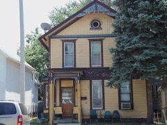
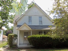
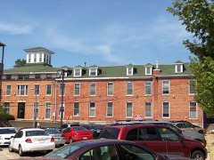
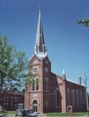
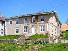
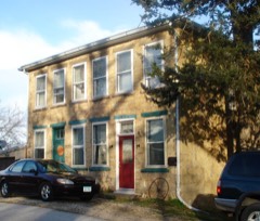
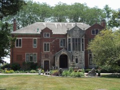
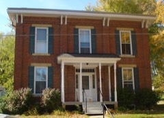
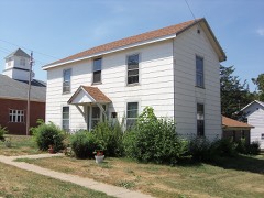
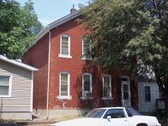
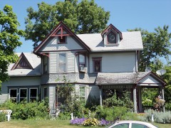
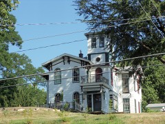
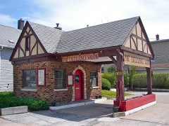
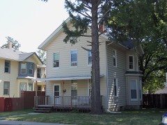
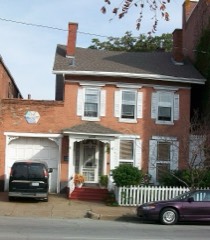
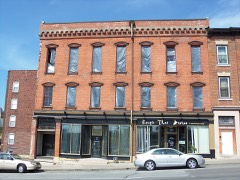
296 National Register listings published here, 1 of them a National Historic Landmark.
Sources: the National Register database, National Park Service
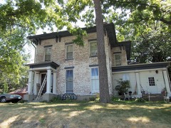
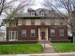
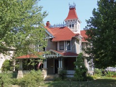
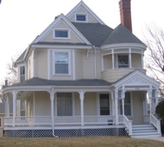
103 topographic sheets cover 44 settlements here, and 296 properties are on the National Register of Historic Places.
296 National Register listings published here, 1 of them a National Historic Landmark.
Sources: the National Register database, National Park Service
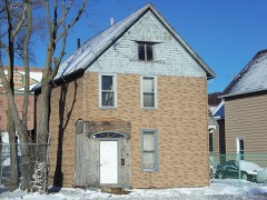
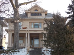
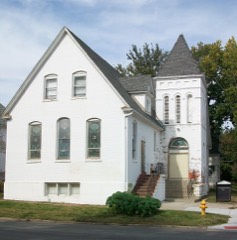
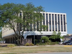
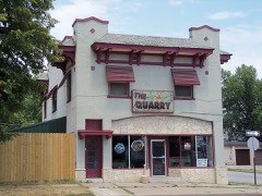
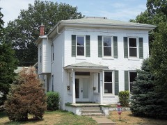
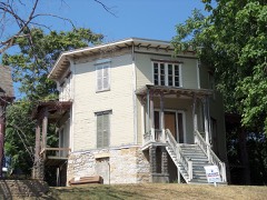
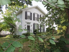
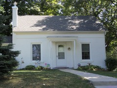
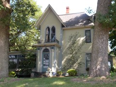
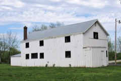
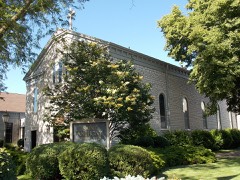
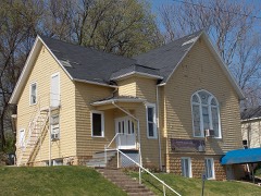
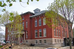
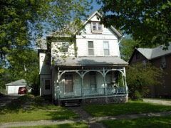
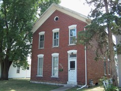
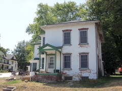
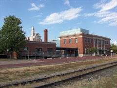
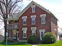
Every property in this county listed on the National Register of Historic Places, with the year it was listed and the federal nomination document.
Every wildfire the federal occurrence database records inside this county: 49 of them, burning about 2,560 acres. None started naturally and 1 was recorded as arson. Each settlement page carries the fires within five miles of it.
| Reported cause | Fires |
|---|---|
| Missing data/not specified/undetermined | 25 |
| Debris and open burning | 20 |
| Equipment and vehicle use | 1 |
| Smoking | 1 |
| Arson/incendiarism | 1 |
| Misuse of fire by a minor | 1 |
The five largest, by the area the report gives. None of them was recorded as arson.
| Date | Cause | Size | Reported by | Name on the report |
|---|---|---|---|---|
| 12 October 2015 | Debris and open burning | 1,500 acres | Iowa Department of Natural Resources | not named |
| 12 October 2015 | Debris and open burning | 640 acres | Iowa Department of Natural Resources | not named |
| 2 April 2014 | Debris and open burning | 150 acres | Iowa Department of Natural Resources | not named |
| 29 March 2010 | Missing data/not specified/undetermined | 55 acres | Iowa Department of Natural Resources | 22124 TERRITORIAL ROAD, IOWA |
| 23 March 2014 | Debris and open burning | 30 acres | Iowa Department of Natural Resources | not named |
| 2 November 2008 | Missing data/not specified/undetermined | 20 acres | Iowa Department of Natural Resources | not named |
| 1 April 2015 | Debris and open burning | 20 acres | Iowa Department of Natural Resources | not named |
| 14 April 2015 | Debris and open burning | 15 acres | Iowa Department of Natural Resources | not named |
Every settlement page carries the fires within five miles of it - see the settlement index below.
The NOAA Storm Events Database holds 1,008 reports for this county, causing 1 death, 24 injuries and about $50,074,900 in recorded property damage. Each settlement page carries the reports that name it.
| Kind of event | Reports |
|---|---|
| Thunderstorm Wind | 492 |
| Hail | 270 |
| Tornado | 67 |
| Flood | 66 |
| Flash Flood | 64 |
| Heavy Rain | 26 |
| Lightning | 13 |
| Funnel Cloud | 9 |
| Strong Wind | 1 |
The most serious of them, by death, then injury, then recorded damage. The accounts are quoted exactly as the forecast office filed them.
| When | Event | Place named | Harm | What the report says |
|---|---|---|---|---|
| June 1997 | Thunderstorm Wind | Davenport | 1 killed, 2 hurt | Winds downed a large tree into an occupied tent. One 12 year old boy was crushed beneath the tree with two others in the tent slightly injured. A fourth boy was unharmed. These four and several others were camped out in the backyard of the "family" home and were there for a family reunion. All were sleeping when the winds struck. |
| April 2000 | Strong Wind | Davenport | 7 hurt, $5,000 | Seven workers were injured at a construction site when high winds knocked over roof trusses. |
| June 1997 | Thunderstorm Wind | Long Grove | 3 hurt, $90,000 | Thunderstorm winds plowed a broad path of destruction over northern Scott County and along the Wapsipinicon River. Winds tore a garage off its foundation, caused roof damage to three homes and destroyed one home completely. A person in the destroyed home was thrown out of the house and suffered cuts and bruses, on his knees and back, requiring more than 50 stiches to close wounds. Numerous trees were downed with one tree landing on a 1995 Windstar minivan and its camper/trailer, destroying both. |
| June 2001 | Tornado (F2) | Blue Grass | 3 hurt | no account filed |
| August 1997 | Thunderstorm Wind | Davenport | 2 hurt, $10,000 | Wind blew a tree into an occupied car. The two occupants suffered minor injuries. |
| August 2001 | Thunderstorm Wind | Buffalo | 2 hurt | Law enforcement officials said winds estimated at 70 mph were the likely cause of an accident that injured two people (directly-related). Thunderstorm winds blew a car off a rural road into a parked pickup truck. The truck then struck a camper, and the car and truck both struck a nearby mobile home. The driver of the car and a passenger were treated for minor injuries at a local hospital. |
| November 1991 | Thunderstorm Wind | not stated | 2 hurt | no account filed |
| May 1991 | Thunderstorm Wind | not stated | 2 hurt | no account filed |
| August 1997 | Thunderstorm Wind | Bettendorf | 1 hurt | Winds were strong enough to snap cables which held a Bettendorf, Iowa casino riverboat to the Dock. The Casino boat and 1,076 patrons then took an unexpected cruse in the MIssissippi River for 90 minutes before they could be re-docked. One Casino employee was injured by flying glass, no other injuries were reported. |
| May 1988 | Tornado (F3) | not stated | $25,000,000 | no account filed |
| June 2008 | Flood | Mc Causland | $4,400,000 | no account filed |
| May 1995 | Tornado (F3) | Stockton | $3,000,000 | This tornado destroyed 26 farm buildings, 20 of them with major damage. Nine homes were hit, one destroyed, two with major damage and six with minor damage. Seven of the nine homes were farmhouses. Roxanne Paper, with baby boy Logan in arm, was downstairs when the tornado struck. She reported that it sounded like something big was tearing through the house. The Gary Meincke farm was hit very hard. He and his wife watched the tornado touch down south of their farm at around 1630 CDT. Shortly after that they ran with their children to the basement. Debris from the Leroy Feldhahn farm near Stockton was spread over nearby Interstate 80 causing a two mile long traffic jam. Governor Terry Branstad later proclaimed a Disaster Emergency for Scott County. |
| April 1981 | Tornado (F1) | not stated | $2,500,000 | no account filed |
| May 1974 | Tornado (F3) | not stated | $2,500,000 | no account filed |
| July 2016 | Thunderstorm Wind | Davenport | $2,000,000 | A large, old tree fell onto three vehicles near Davenport Avenue and Kirkwood Boulevard during the early morning. A few utility lines were also knocked down by the tree. The time was estimated by radar. |
| May 1996 | Thunderstorm Wind | Parkview | $1,000,000 | no account filed |
| June 2010 | Flood | Dixon | $500,000 | Heavy rains during the third week of June resulted in the Wapsipinicon River at De Witt going above the moderate flood stage level of 11.5 feet on June 17 around 630 am. After briefly falling back below 11.5 feet, it crested above the major flood stage around 13.2 feet around 7 pm June 22. It fell below the moderate flood stage level around 7 pm June 28. |
| June 2008 | Flash Flood | Maysville | $500,000 | Heavy rains resulted in flash flooding of several parts of Davenport, IA and Bettendorf, IA during the late evening hours of June 12 and the morning of June 13. The depth of the flood waters across much of the metro area ranged from 6 inches to as much as 5 feet. Streets, residential and commercial properties, and area creeks and streams all experienced flooding. Water rescues were performed to save some stranded motorists from the high water. Several major traffic arteries were closed due to the flash flood waters. The public and broadcast and print media also contributed to these reports. |
| August 2009 | Flood | Dixon | $500,000 | no account filed |
| August 2014 | Lightning | Panorama Park | $400,000 | Lightning struck an apartment building at 1080 39th Street in Bettendorf, IA around 240 pm CDT August 25. The attic fire was not discovered until 1036 pm. The estimated damage to the 18 unit building is 400,000 dollars. Reported by KWQC and The Quad City Times. |
| March 2006 | Flash Flood | Bettendorf | $400,000 | Thunderstorms trained across the Quad City Metro area and produced rainfall rates exceeding 1 inch per 30 minutes. At 2000 CST an off duty NWS employee reported 2 feet of water over the roads in his neighborhood along the Bettendorf/Davenport city limits. By 2134 CST media and law enforcement were reporting water 4 inches deep was flowing into the Davenport Police Station on Harrision street. Numerous streets were closed due to high water; Harrision by the police station and River Drive in several spots. The media was reporting sinkholes developing on some streets in Davenport with some residences flooded. Although unknown at the time, the Federal Building in downtown Davenport had its basement partially flooded. Near the Oscar Mayer/Kraft plant, 2-3 feet of water was on second street while River Drive and 3rd street by the Quad City Times Newspaper had thigh deep water. The flash flooding in Davenport was exacerbated from winter debris blocking storm drains and therefore preventing or restricting the amount of water getting into storm sewers.By 2230 CST, spotters and the media were reporting that flooding in downtown Davenport was beginning to recede. It is unknown how many buildings received water inside them but it is probably safe to say it was a few dozen. The flooding of the police station was caused by a police car blocking a storm sewer drain. A city engineer with Davenport concluded that this level of flooding was typical for a 15 to 20 year event.KMLI ASOS reported 1.78 inches of rain for 12 March 2006 of which 1.66 inches fell during the 1800-2400 CST time period. At the same time, the KDVN ASOS reported 1.05 inches of rain for 12 March 2006. The heaviest rain occurred during the 1900-2300 CST time period in a narrow band in between the two ASOS sites. The highest know rainfall amount occurred in central Davenport where 3.50 inches of rain fell. The closeness of the heavy rainband to the KDVN 88D resulted in a severe underestimation of the rainfall. Rainfall estimates from the distant KILX and KLOT 88D sites indicate 3-4 inches of rain fell. |
| May 2004 | Lightning | Davenport Arpt | $300,000 | KDVN 88D taken out by lightning. |
| May 2010 | Flood | Dixon | $250,000 | Heavy rains during the second week of May resulted in the Wapsipinicon River at De Witt going above the moderate flood stage level of 11.5 feet on May 18 around 1 pm. It crested around 11.9 feet around 1 am May 21. It fell below the moderate flood stage level around 1 am May 23. |
| April 2011 | Flood | Buffalo | $250,000 | no account filed |
| July 2010 | Flood | Dixon | $250,000 | no account filed |
| July 2010 | Flood | Dixon | $250,000 | no account filed |
| May 1991 | Tornado (F1) | not stated | $250,000 | no account filed |
| March 1990 | Tornado (F3) | not stated | $250,000 | no account filed |
| March 1990 | Tornado (F1) | not stated | $250,000 | no account filed |
| August 1990 | Tornado (F1) | not stated | $250,000 | no account filed |
| July 1983 | Tornado (F0) | not stated | $250,000 | no account filed |
| April 1981 | Tornado (F0) | not stated | $250,000 | no account filed |
| August 1979 | Tornado (F1) | not stated | $250,000 | no account filed |
| January 1967 | Tornado (F2) | not stated | $250,000 | no account filed |
| April 1966 | Tornado (F3) | not stated | $250,000 | no account filed |
| May 1962 | Tornado (F3) | not stated | $250,000 | no account filed |
| July 2010 | Flood | Dixon | $150,000 | no account filed |
| May 2009 | Flood | Dixon | $125,000 | Heavy rains during the last week of April resulted in the Wapsipinicon River near De Witt going above the moderate flood stage level of 11.5 feet around 6 pm on May 2. It crested around 11.89 feet around 11 am on May 4. It fell back below its moderate flood stage level around 1 am May 6. |
| July 2010 | Flood | Walcott | $125,000 | no account filed |
| August 2010 | Flood | Dixon | $125,000 | no account filed |
| May 1995 | Tornado (F1) | Lock and Dam-14 | $125,000 | no account filed |
| May 2013 | Tornado (EF1) | Buffalo | $100,000 | An EF1 tornado touched down in Andalusia, IL around 445 pm CDT and traveled north-northeast. This weak tornado crossed the Mississippi River from Rock Island County and moved into Scott County, IA through eastern sections of Buffalo, IA, affecting a few houses. The primary impact was to the parks on the eastern edge of town. Wind speeds were estimated to be 95 mph. Some large trees were snapped and uprooted along the path. Some of the fallen trees fell onto houses. |
| August 2010 | Thunderstorm Wind | Davenport | $100,000 | Wind gusts estimated to be 70 mph blew a large tree limb down and an entire tree onto a house and car along 36th Street west of Division Street in Davenport, IA around 350 am CDT August 4. |
| June 2010 | Thunderstorm Wind | Pleasant Vly | $100,000 | Wind gusts estimated to be 70 mph blew a semi over at mile marker 306 on Interstate 80 or about 1 mile west of Le Claire, IA at 742 pm CDT June 18. In addition, a 35 foot tall tree and some highway signs along I-80 were blown over. |
| June 2010 | Flash Flood | Parkview | $100,000 | Heavy rains resulted in flash flooding of the intersections of Kimberly and Division and Kimberly and Marquette in Davenport, IA during the afternoon of June 15. In addition, several streets and yards in Park View, IA were flooded. The flood waters in both areas were 8 to 12 inches deep. |
| July 2009 | Flash Flood | Walcott | $100,000 | Heavy rains of 3 to 4 inches resulted in flash flooding in and around Walcott, IA during the afternoon of July 10. Highway 6 was blocked off by police due to water flowing over the roadway just east of town. In town, North Main Street flooded near Mud Creek. In addition, several residences experienced flooding in their basements with the flood waters 2 to 11 inches deep. |
| August 1997 | Lightning | Davenport Arpt | $100,000 | Well-grounded National Weather Service Radar was damaged by lightning strike. |
| August 1997 | Thunderstorm Wind | Davenport | $100,000 | Wind damage to several wooden buildings at the Mississippi Valley Fairgrounds. Winds struck on the final day of the fair, felling many large trees, flattening every booth and tent, and knocking over portable bathrooms. |
| June 1997 | Thunderstorm Wind | Davenport Arpt | $100,000 | Strong winds hit the Davenport airport on the Quad City Air Show weekend. This meant that numerous aircraft were on site and unprotected. Winds moved a C-46 300 feet into a field and flipped a Cesna C-206, causing extensive damage. Other planes were rotated between 90 and 180 degrees, including several T6 and T28 aircraft and one C-130 was turned 90 degrees. Winds also flattened every tent at the Airshow and wind blown debris caused some minor damage to two F-18 aircraft. |
| May 1995 | Tornado (F0) | Long Grove | $80,000 | Two businesses in Park View, a car wash and a business garage, received major damage. A Kwik Shop, insurance building and six cars received minor damage also in the Park View area. |
| May 2001 | Tornado (F0) | Le Claire | $75,000 | A tornado touched down in northwest LeClaire, Iowa and was on the ground for 5 minutes carving a one half mile path to the Mississippi River. The tornado was on the ground about the length of Walnut Street in northern LeClaire, east to the Mississippi River across Highway 67. Numerous trees and power lines were downed. No injuries or fatalities occurred. |
| April 2006 | Tornado (F1) | Le Claire | $60,000 | Rated F1 |
| July 2003 | Thunderstorm Wind | Parkview | $60,000 | 6 inch limb down |
| August 2003 | Thunderstorm Wind | Davenport Arpt | $55,000 | Winds of 50 knots began at 1758 CST according to DVN ASOS. At 1800 CST measured gusts of 58 knots (67 mph) were recorded and at 1801 CST, DVN ASOS measured a gust of 67 knots (77 mph). Before the ASOS could update for 1802 CST a power failure occurred at the ASOS site. NWS personnel at WFO DVN estimated winds of at least 80 knots (92 mph) lasting for 2 or 3 minutes (Review of archived data indicated the DVN 88D measured winds of 80+ knots about 3 miles east of the office at 200 AGL). During this time about one third of the outer roof of the NWS building was peeled off (the roof is designed to withstand 90 mph winds). Only the air conditioning units on the roof prevented the peeling from going the entire length of the building. With the outer roof gone, water fell into the operations area necessitating a shut down of all equipment and implementation of service backup by WFO Des Moines. The only damage sustained to equipment inside the building was the phone system, 2 monitors, and 2 computer mice. Downed power lines were noted in the 9000 block of Harrison Street from the office along with numerous trees down. |
| March 2017 | Tornado (EF2) | Blue Grass | $50,000 | This is a continuation of the Tornado that started in Muscatine County. Power poles were snapped, a house was un-roofed, and numerous farm outbuildings and trees were damaged. |
| May 2011 | Thunderstorm Wind | Dixon | $50,000 | Wind gusts estimated to be 70 mph blew down a power pole and some large trees from Dixon, IA area to just north of Long Grove, IA from about 530 pm CDT to about 545 pm CDT May 22. A tree fell on a barn and fence destroying them. |
| May 2011 | Thunderstorm Wind | Davenport | $50,000 | Wind gusts estimated to be 65 mph blew down two light poles at a car dealership in Davenport, IA around 835 pm CDT May 22. Secondary damage was done to some cars. |
| June 2011 | Thunderstorm Wind | Le Claire | $50,000 | Wind gusts estimated to be 70 mph blew down several trees and large limbs in a 3 block area in Le Claire, IA at 540 am CDT June 9. Some of the trees and branches fell onto some homes. |
| July 2010 | Thunderstorm Wind | Davenport | $50,000 | Downburst wind gusts estimated to be 70 mph blew down a radio tower and blew of about 10,000 square feet of roof at St. Ambrose University in Davenport, IA around 354 pm CDT July 23. |
| June 2009 | Thunderstorm Wind | Davenport | $50,000 | Wind gusts estimated to be 70 mph blew down several trees and tree branches in downtown Davenport, IA around 530 pm June 27. A large tree fell onto McKay Music near the intersection of Brady Street and 13th Street. |
The Survey's mineral resources record lists 23 workings inside this county. 12 still produce and 11 are closed or unrecorded. Each settlement page carries the workings within five miles of it.
| Commodity | Workings |
|---|---|
| Stone, Crushed/Broken | 14 |
| Sand and Gravel, Construction | 6 |
| Clay | 2 |
| Salt | 1 |
| Calcium | 1 |
The least common of them first, because a county's hundredth gravel pit says nothing its first ten did not.
| Where | Site | Commodity | Status | Recorded |
|---|---|---|---|---|
| Cargill Salt Terminal Sa | Salt | Producer | ||
| Linwood Lime Plant | Calcium | Producer | ||
| Buffalo Quarry | Stone, Crushed/Broken, Clay | Producer | ||
| Davenport Clay Pit & Mill | Clay | Producer | ||
| Builders Sand and Gravel Co. Dredge | Sand and Gravel, Construction | Producer | ||
| Koester Pit | Sand and Gravel, Construction | Past Producer | ||
| Mccausland Pit | Sand and Gravel, Construction | Producer | ||
| Piggott Pit | Sand and Gravel, Construction | Past Producer | ||
| Unknown | Sand and Gravel, Construction | Past Producer | ||
| Unknown | Sand and Gravel, Construction | Past Producer | ||
| Davenport Quarry | Stone, Crushed/Broken | Producer | ||
| Le Claire Quarry | Stone, Crushed/Broken | Producer | ||
| Linwood Stone Products Mine & Mill | Stone, Crushed/Broken | Producer | ||
| Martin Marietta-Buffalo Cement Plnt | Stone, Crushed/Broken | Producer | ||
| Mccausland Plant #2 | Stone, Crushed/Broken | Producer | ||
| New Liberty Plant #3 | Stone, Crushed/Broken | Producer | ||
| Parks Quarry | Stone, Crushed/Broken | Past Producer | ||
| Princeton Quarry | Stone, Crushed/Broken | Past Producer | ||
| Unknown | Stone, Crushed/Broken | Past Producer | ||
| Unknown | Stone, Crushed/Broken | Past Producer | ||
| Unknown | Stone, Crushed/Broken | Past Producer | ||
| Unknown | Stone, Crushed/Broken | Past Producer | ||
| West Quarry | Stone, Crushed/Broken | Past Producer |
Named settlements recorded in the Geographic Names Information System, each with the topographic sheets covering it. Villages, hamlets and abandoned places alike. Each is shown with the nearest named watercourse or landform and the survey quadrangle it falls on.
Pleasant Valley township · 52722 · On Stafford Creek · Davenport East quadrangle
20 sheets, 1891 to 1993
Davenport city · 52804 · On Walnut Creek · Davenport West quadrangle
18 sheets, 1891 to 1991
Buffalo township · 52726 · On Dodges Creek · Andalusia quadrangle
19 sheets, 1912 to 1991
Pleasant Valley township · 52722 · On Spencer Creek · Silvis quadrangle
21 sheets, 1892 to 1991
Davenport city · 52802 · On Walnut Creek · Andalusia quadrangle
19 sheets, 1912 to 1991
No longer a settlement
Butler township · 52756 · On Glynn Creek · De Witt quadrangle
15 sheets, 1891 to 1991
No longer a settlement
Davenport city · 52806 · On Silver Creek · Davenport East quadrangle
20 sheets, 1891 to 1993
Le Claire township · 52753 · On Silver Creek · Port Byron quadrangle
23 sheets, 1892 to 1991
Buffalo township · 52804 · On Donaldson Creek · Andalusia quadrangle
19 sheets, 1912 to 1991
Butler township · 52758 · On Old Channel Lost Creek · McCausland quadrangle
20 sheets, 1892 to 1991
Allens Grove township · 52745 · On Walnut Creek · Dixon quadrangle
16 sheets, 1890 to 1991
Pleasant Valley township · 52722 · On Crow Creek · Silvis quadrangle
21 sheets, 1892 to 1991
Hickory Grove township · 52773 · On Hickory Creek · Dixon quadrangle
16 sheets, 1890 to 1991
Pleasant Valley township · 52767 · On Spencer Creek · Silvis quadrangle
21 sheets, 1892 to 1991
Princeton township · 52768 · On Whiskey Run Creek · Cordova quadrangle
21 sheets, 1892 to 1991
Princeton township · 52768 · On Whiskey Run Creek · Cordova quadrangle
21 sheets, 1892 to 1991
Pleasant Valley township · 52722 · On Crow Creek · Silvis quadrangle
21 sheets, 1892 to 1991
Davenport city · 52802 · Near Credit Island · Andalusia quadrangle
19 sheets, 1912 to 1991
No longer a settlement
Davenport city · 52802 · Near Horse Island · Andalusia quadrangle
19 sheets, 1912 to 1991
The vanished settlements of Scott County: the places named above that are no longer on the map.