 Block
Ahsahka, Idaho
11 topographic sheets cover this place, the earliest surveyed in 1955 and the latest in 1994. It stands in the Nez Perce census division. It lies in ZIP code area 83544. It stands on North Fork Clearwater River. The Survey maps it on the Ahsahka quadrangle. It stands 994 feet above sea level.
Topographic sheets covering this place
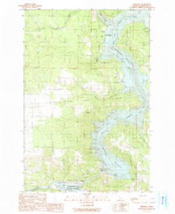
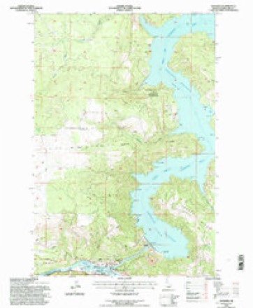
6 surveys from 11 printed sheetsMatched by testing this settlement's coordinate against the published boundary of every sheet in the United States Geological Survey's historical collection. Each opens the scanned sheet at the Survey.
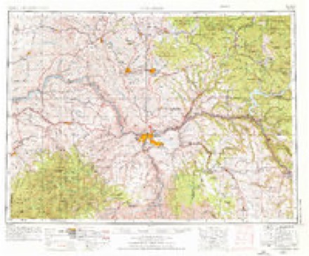
- 1955 USGS Pullman quadrangle1:250000, 3 printings
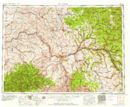
- 1958 USGS Pullman quadrangle1:250000, 2 printings
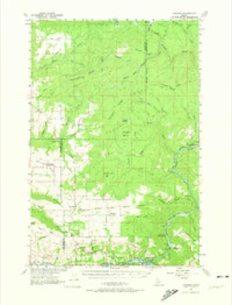
- 1961 USGS Ahsahka quadrangle1:62500, 2 printings
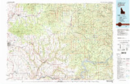
- 1981 USGS Potlatch quadrangle1:100000, 2 printings
- 1990 USGS Ahsahka quadrangle1:24000
- 1994 USGS Ahsahka quadrangle1:24000
Fires near this place
187 since 1992Regional context, not property-specific evidence. The federal wildfire occurrence database lists 187 fires within 5 miles of Ahsahka between 1992 and 2020, burning about 4,568 acres in total. 42 started naturally. 13 were recorded as arson. Distance is straight-line from the map coordinates, so a fire counted here may appear on a neighbouring settlement's page as well.
| Reported cause | Fires |
|---|---|
| Missing data/not specified/undetermined | 59 |
| Natural | 42 |
| Debris and open burning | 29 |
| Arson/incendiarism | 13 |
| Recreation and ceremony | 10 |
| Equipment and vehicle use | 9 |
| Power generation/transmission/distribution | 7 |
| Fireworks | 7 |
| Misuse of fire by a minor | 5 |
| Smoking | 4 |
| Other causes | 2 |
The most recent of them, most recent first, with the day each was reported and the service that recorded it.
| Date | Cause | Size | Reported by | Name on the report |
|---|---|---|---|---|
| 8 September 1997 | Debris and open burning | 3.0 acres | Idaho Department of Lands | EUREKA RIDGE |
| 7 September 2020 | Missing data/not specified/undetermined | 1,631 acres | Clearwater Potlatch Timber Protective Association | CLOVER |
| 5 September 2016 | Arson/incendiarism | under an acre | Nez Perce Tribe | SLAUGHTER HOUSE |
| 5 September 2013 | Natural | under an acre | Idaho Department of Lands | END OF RAINBOW |
| 5 September 1994 | Missing data/not specified/undetermined | under an acre | Idaho Department of Lands | WIXSON HEIGHTS SUB |
| 5 September 1992 | Recreation and ceremony | under an acre | Idaho Department of Lands | BEACH BUM |
| 4 September 1993 | Missing data/not specified/undetermined | 30 acres | Idaho Department of Lands | AHSAHKA RIDGE |
| 30 September 1998 | Debris and open burning | 15 acres | Idaho Department of Lands | CAVENDISH NO PERMIT |
Settlements close enough to share some of these fires:
Mines and quarries near this place
10 of 15 shownRegional context, not property-specific evidence. The federal mineral resources record lists 15 workings within 5 miles of Ahsahka: 8 past producers, 3 producers, 2 occurrences, 2 unknowns. 3 still produce. What was taken out: Gold, Limestone, High Calcium, Sand and Gravel, Construction, Asbestos. Distance is straight-line from the map coordinates, so a quarry counted here may appear on a neighbouring settlement's page as well.
| Where | Site | Commodity | Status | Recorded |
|---|---|---|---|---|
| Dewey | Gold, Silver | Past Producer | ||
| Fords Creek Pit | Stone, Dimension | Unknown | ||
| North Fork, Clearwater River | Gold, Platinum | Producer | Stream Placer | |
| Orofino | Limestone, General | Past Producer | ||
| Sylvanite Gold-Copper Property | Gold, Copper | Occurrence | ||
| Dworshak Dam Stone | Stone | Past Producer | Metamorphic | |
| Olson Asbestos | Asbestos | Unknown | ||
| Pit No. 1 | Stone | Past Producer | ||
| Teakean Asbestos Prospect | Asbestos | Occurrence | Anthophyllite | |
| Cummings | Sand and Gravel, Construction | Past Producer |
Storms near this place
6 since 1999Regional context, not property-specific evidence. The National Weather Service names Ahsahka in 6 storm reports between 1999 and 2026: 3 thunderstorm wind, 2 flood, 1 hail. No death or injury is recorded in these reports. Each account below is quoted exactly as the forecast office filed it, from the NOAA Storm Events Database, and each date opens the federal record of that event.
| When | Event | Place named | Harm | What the report says |
|---|---|---|---|---|
| March 2017 | Flood | Ahsahka | $3,000,000 | Abundant rain and low elevation snow melt in the upper portions of Orofino Creek near Pierce led to high stream flows on the 15th, followed by minor flooding on the 16th. Multiple homes and property were sandbagged to prevent flooding across southwest portions of the county. Jim Ford Creek flooded multiple properties in the Weippe area. Clearwater County declared a state of emergency because of all the mudslide, debris and river issues. Although the most severe flooding occurred on or near the 16th, another culvert gave way and caused Grangemont Road to shut down mile-marker 22 on March 25th lasting until April 5th. Total estimated cost of road repairs was 3 million dollars due to landslide failures. |
| March 2026 | Flood | Ahsahka | $500,000 | The most significant impact occurred south of Orofino, where a large landslide blocked US-12 between mile markers 44 and 45. The initial slide occurred around 1539MST on Friday, March 13. While crews worked to clear the route, a second slide occurred at the same location at 0920MST on Saturday, March 14. The highway remained closed in both directions until Saturday afternoon. Additional landslides and rockslides were reported on Lower Fords Creek Road, Grangemont Road, Sunnyside, and Bobbitt Bench. Heavy traffic diverted to Sunnyside Road caused that secondary route to begin failing under the saturated conditions.||In Orofino, the urban drainage system reached maximum capacity and overflowed, flooding residential areas. In the Riverside area (115th Street), rushing water surrounded homes and filled basements. Significant damage occurred at the Joint School District 171 bus garage when a nearby creek (likely Flume Creek) blew out, flooding the facility. While officials successfully moved most of the fleet, one school bus and a neighboring food pantry were inundated and suffered major damage.||Small streams and creeks, including Jim Fords Creek and Freeman Creek, crested their banks, threatening homes and washing out culverts. Near Weippe, a creek overflowed onto the roadway, causing significant rutting. The Clearwater River at Orofino saw a dramatic rise of over 8 feet, increasing from 5.78 feet on Thursday to a crest of 13.96 feet on Saturday nightstaying just below the 16-foot flood stage, though the high water contributed to the drainage backup in the city. Total rainfall between March 10 and 15 included 3.57 in Orofino, 4.00 in Peck, and 4.50 at the Pierce SNOTEL. |
| June 2006 | Thunderstorm Wind | Ahsahka | - | no account filed |
| May 2006 | Hail | Ahsahka | - | no account filed |
| May 2006 | Thunderstorm Wind | Ahsahka | - | no account filed |
| July 1999 | Thunderstorm Wind | Ahsahka | - | no account filed |
Nearest settlements
The eight closest, with where each one stands in the county. Distances are straight-line, computed from the Geographic Names Information System coordinates.
| Map | Place | Distance | Sheets |
|---|---|---|---|
| Riverside | 1.5 miles | 10 | |
| Bruce Eddy | 1.9 miles | 11 | |
| Orofino | 4.0 miles | 10 | |
| Teakean | 4.5 miles | 10 | |
| Peck | 5.8 miles | 8 | |
| Konkolville | 6.7 miles | 10 | |
| Cavendish | 7.1 miles | 10 | |
| Blake | 8.0 miles | 10 |
Elsewhere
Matched on this settlement's Geographic Names Information System number rather than its name, so it cannot be a different place of the same name in another state.
| Wikipedia article on Ahsahka | An encyclopaedic summary. Its text is share-alike, so it is linked here rather than copied. |
| Wikidata item Q4696341 | The structured record the population and elevation above come from. Public domain (CC0). |
Provenance
This settlement is recorded in the Geographic Names Information System as feature 399764. The sheet list is computed by point-in-boundary test against the United States Geological Survey's historical topographic inventory. Both are works of the United States government and carry no copyright under 17 U.S.C. 105.
Wildfire. Short, Karen C. 2022. Spatial wildfire occurrence data for the United States, 1992-2020 [FPA_FOD_20221014]. 6th Edition. Fort Collins, CO: Forest Service Research Data Archive. https://doi.org/10.2737/RDS-2013-0009.6 Collected with United States Government funding and usable without additional permissions or fees.
Mines and quarries. USGS Mineral Resources Data System (MRDS) https://mrdata.usgs.gov/mrds/ A work of the United States government, no copyright under 17 U.S.C. 105.
Storms. NOAA National Centers for Environmental Information, Storm Events Database https://www.ncei.noaa.gov/stormevents/ A work of the United States government, no copyright under 17 U.S.C. 105. Narratives are quoted verbatim from the National Weather Service report and are not edited or summarised.