 Block
Carmen, Idaho
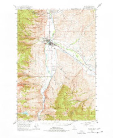
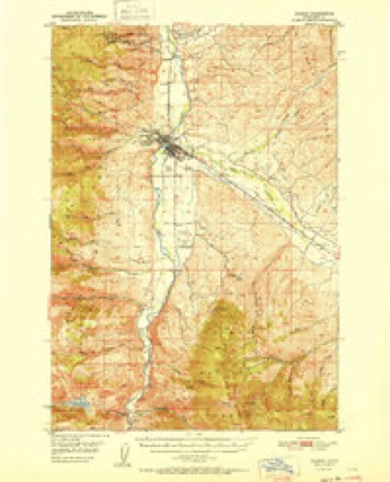
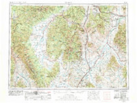
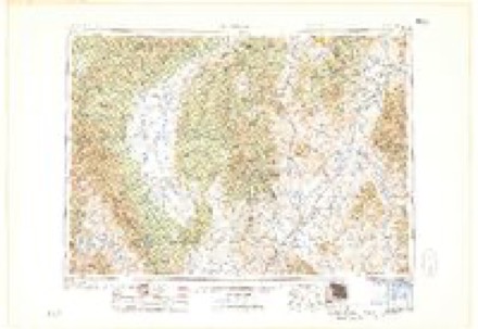
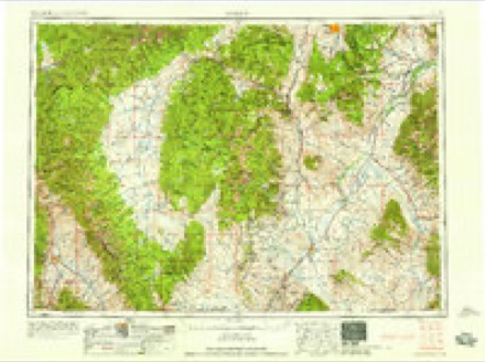
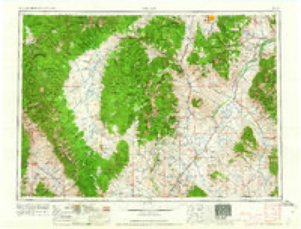
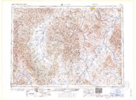
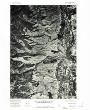
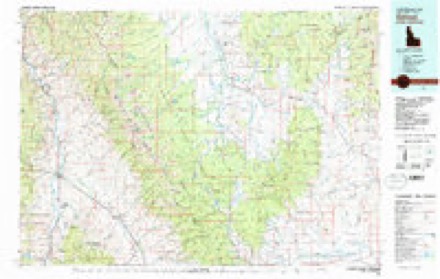
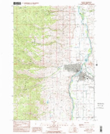
13 topographic sheets cover this place, the earliest surveyed in 1950 and the latest in 1989. It stands in the Salmon census division. It lies in ZIP code area 83462. It stands on Carmen Creek. The Survey maps it on the Salmon quadrangle. It stands 3,825 feet above sea level.
Topographic sheets covering this place
10 surveys from 13 printed sheetsMatched by testing this settlement's coordinate against the published boundary of every sheet in the United States Geological Survey's historical collection. Each opens the scanned sheet at the Survey.
- 1950 USGS Salmon quadrangle1:62500, 3 printings
- 1951 USGS Salmon quadrangle1:62500
- 1955 USGS Dillon quadrangle1:250000, 2 printings
- 1957 USGS Dillon quadrangle1:250000
- 1958 USGS Dillon quadrangle1:250000
- 1962 USGS Dillon quadrangle1:250000
- 1965 USGS Dillon quadrangle1:250000
- 1974 USGS Salmon NW quadrangle1:24000
- 1981 USGS Salmon quadrangle1:100000
- 1989 USGS Salmon quadrangle1:24000
Fires near this place
36 since 1992Regional context, not property-specific evidence. The federal wildfire occurrence database lists 36 fires within 5 miles of Carmen between 1992 and 2019, burning about 2,883 acres in total. 15 started naturally. 4 were recorded as arson. Distance is straight-line from the map coordinates, so a fire counted here may appear on a neighbouring settlement's page as well.
| Reported cause | Fires |
|---|---|
| Natural | 15 |
| Recreation and ceremony | 7 |
| Missing data/not specified/undetermined | 5 |
| Arson/incendiarism | 4 |
| Debris and open burning | 4 |
| Equipment and vehicle use | 1 |
The most recent of them, most recent first, with the day each was reported and the service that recorded it.
| Date | Cause | Size | Reported by | Name on the report |
|---|---|---|---|---|
| 9 September 2011 | Recreation and ceremony | under an acre | Salmon-Challis National Forest | FERNSTER |
| 21 September 2002 | Recreation and ceremony | under an acre | Salmon-Challis National Forest | B SPUR |
| 8 August 2018 | Missing data/not specified/undetermined | 1.0 acres | Idaho Falls District | LEMHI COUNTY ASSIST 2 |
| 7 August 2005 | Natural | under an acre | Salmon-Challis National Forest | DIAMOND |
| 5 August 2004 | Natural | under an acre | Salmon-Challis National Forest | BIRD |
| 4 August 1994 | Missing data/not specified/undetermined | under an acre | Idaho Falls District | DIAMOND |
| 31 August 2001 | Natural | under an acre | Idaho Falls District | TOWER BLUF |
| 22 August 2005 | Recreation and ceremony | under an acre | Idaho Falls District | DERIAR |
Settlements close enough to share some of these fires:
Mines and quarries near this place
10 of 37 shownRegional context, not property-specific evidence. The federal mineral resources record lists 37 workings within 5 miles of Carmen: 14 occurrences, 14 past producers, 6 unknowns, 2 prospects. 1 still produces. What was taken out: Gold, Silver, Sand and Gravel, Construction, Thorium. Distance is straight-line from the map coordinates, so a quarry counted here may appear on a neighbouring settlement's page as well.
| Where | Site | Commodity | Status | Recorded |
|---|---|---|---|---|
| Amagosa Mine | Lead, Gold, Copper, Tungsten, Silver | Past Producer | 1882 | |
| Andrews Mine | Gold, Silver, Lead | Occurrence | Vein | |
| Bob Moore Creek Prospect | Tungsten, Copper, Lead, Gold | Occurrence | 1882 | |
| Bob Moore Uranium Prospect | Uranium | Occurrence | ||
| Contact | Copper, Silver, Lead, Gold | Past Producer | ||
| Contact Claim Group | Thorium, REE, Uranium, Gold | Occurrence | Monazite, Thorite | |
| Salmon Bentonite | Bentonite | Unknown | ||
| Salmon Sandstone Quarry S. | Stone, Crushed/Broken | Past Producer | Surface | |
| Silverton Prospect | Lead, Silver, Copper, Zinc, Gold | Past Producer | Anglesite, Chalcopyrite, Galena, Malachite, Sphalerite | |
| Simer Prospect | Fluorine-Fluorite, Thorium, Uranium, REE, Niobium (Columbium) | Occurrence | Monazite |
Storms near this place
9 since 2009Regional context, not property-specific evidence. The National Weather Service names Carmen in 9 storm reports between 2009 and 2017: 4 hail, 4 thunderstorm wind, 1 lightning. The reports record 1 death. Each account below is quoted exactly as the forecast office filed it, from the NOAA Storm Events Database, and each date opens the federal record of that event.
| When | Event | Place named | Harm | What the report says |
|---|---|---|---|---|
| August 2010 | Lightning | Carmen | 1 killed | A 37 year old man riding a horse was struck by lightning and killed. |
| June 2017 | Thunderstorm Wind | Carmen | $10,000 | Road crews, the public, and the county emergency manager all had reports of damage from the strong winds during the late evening. Power companies reported outages to approximately 600 customers due to trees on power lines. A storm spotter in the area reported losing a few shingles, while another resident lost a stove pipe off the roof on the west side of Salmon, ID. Road crews reported downed Cottonwood trees on US-93. |
| August 2013 | Hail | Carmen | $2,500 | A trained spotter northeast of Carmen estimated that most hail sizes ranged between 0.75 and 1 but there were a few that were up to ping pong size. The hail damaged several fruit trees and tomatoes. His neighbor's wood siding on his house was also damaged. |
| August 2016 | Thunderstorm Wind | Carmen | $500 | A person from the public reported a small metal building had been thrown across a ranch, ending up in the ditch near the corner of Long Road and US-93. The Lemhi County Sheriff reported a few trees down around Salmon. One of the larger trees was deemed unhealthy. A person from the public located 5 miles ESE of North Fork reported the winds blew the roof off of a chicken house and a 15 foot tall tree fell over the Fourth of July Creek Road. |
| August 2013 | Hail | Carmen | - | A person from the public estimated ping pong size hail as she was rafting on the Salmon River about 100 yards north of the Salmon River I-93 bridge about one mile south of Carmen, Idaho. Their floating party was unable to reach the beach due to strong southerly winds and proceeded to be pelted by large hail for at least five minutes. She reported vivid black and blue bruises on her arms and legs. Her garden located in Carmen was damaged extensively by the hail. |
| August 2010 | Thunderstorm Wind | Carmen | - | Winds were measured by the Kriley Creek RAWS. |
| August 2010 | Thunderstorm Wind | Carmen | - | Wind gust reported from Kriley Creek RAWS. |
| August 2009 | Hail | Carmen | - | A spotter reported 1.75 inch hail on the ground near Highway 93 and Tower Creek. |
| August 2009 | Hail | Carmen | - | no account filed |
Nearest settlements
The eight closest, with where each one stands in the county. Distances are straight-line, computed from the Geographic Names Information System coordinates.
| Map | Place | Distance | Sheets |
|---|---|---|---|
| Salmon | 4.6 miles | 13 | |
| Leesburg | 11.8 miles | 10 | |
| North Fork | 12.5 miles | 9 | |
| Baker | 13.2 miles | 10 | |
| Williams Lake Resort | 16.4 miles | 12 | |
| Blackbird | 19.5 miles | 10 | |
| Ulysses (historical) | 20.2 miles | 10 | |
| Cobalt | 20.7 miles | 10 |
Elsewhere
Matched on this settlement's Geographic Names Information System number rather than its name, so it cannot be a different place of the same name in another state.
| Wikipedia article on Carmen | An encyclopaedic summary. Its text is share-alike, so it is linked here rather than copied. |
| Wikidata item Q5043402 | The structured record the population and elevation above come from. Public domain (CC0). |
Provenance
This settlement is recorded in the Geographic Names Information System as feature 397530. The sheet list is computed by point-in-boundary test against the United States Geological Survey's historical topographic inventory. Both are works of the United States government and carry no copyright under 17 U.S.C. 105.
Wildfire. Short, Karen C. 2022. Spatial wildfire occurrence data for the United States, 1992-2020 [FPA_FOD_20221014]. 6th Edition. Fort Collins, CO: Forest Service Research Data Archive. https://doi.org/10.2737/RDS-2013-0009.6 Collected with United States Government funding and usable without additional permissions or fees.
Mines and quarries. USGS Mineral Resources Data System (MRDS) https://mrdata.usgs.gov/mrds/ A work of the United States government, no copyright under 17 U.S.C. 105.
Storms. NOAA National Centers for Environmental Information, Storm Events Database https://www.ncei.noaa.gov/stormevents/ A work of the United States government, no copyright under 17 U.S.C. 105. Narratives are quoted verbatim from the National Weather Service report and are not edited or summarised.