 Block
Salmon, Idaho
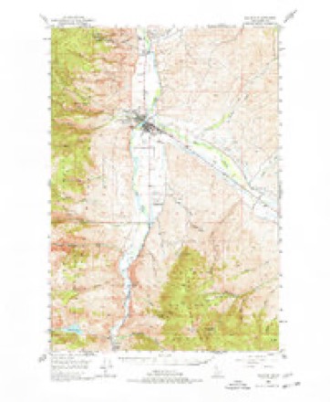
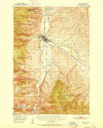
13 topographic sheets cover this place, the earliest surveyed in 1950 and the latest in 1989. It stands in the Salmon census division. It lies in ZIP code area 83467. It lies near Lemhi Valley. The Survey maps it on the Salmon quadrangle. 3,119 people lived here at the 2020 count. It stands 3,944 feet above sea level.
Research this city
On record in Salmon
Buildings and businesses the archive holds for this place. Each opens its own page, with the source record it came from.
On the National Register 9 records
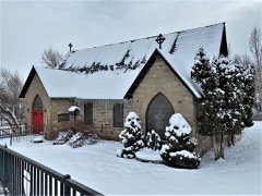 Episcopal Church of the Redeemerlisted 1979
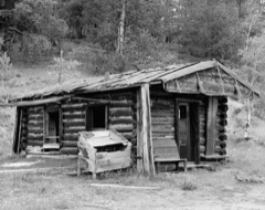 Leesburglisted 1975
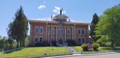 Lemhi County Courthouselisted 1978
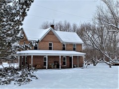 Socrates A. Myers Houselisted 1977
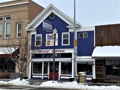 Odd Fellows Halllisted 1978
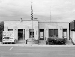 Salmon City Hall and Librarylisted 1982
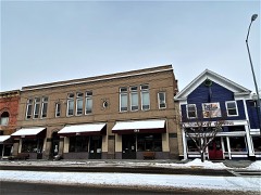 Salmon Odd Fellows Halllisted 1978
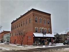 Shoup Buildinglisted 1978
- Lars Geertson Houselisted 1980
Population over time
2 figuresSalmon grew from 3,112 to 3,119 between 2010 and 2020. These are the recorded population figures Wikidata holds for this place, reached through the Geographic Names Information System number this page is keyed on rather than by name, so they belong to this place and not to another of the same name. Most are census counts, but not all are: an early figure may be a founding or settlement estimate, and an estimate published within five years of a census is left out. The change column is computed, and is left blank where more than 20 years separate a figure from the one before it, because a gap that long is not a change between two counts.
| Year | People | Change |
|---|---|---|
| 2010 | 3,112 | |
| 2020 | 3,119 | +7 (+0%) |
Topographic sheets covering this place
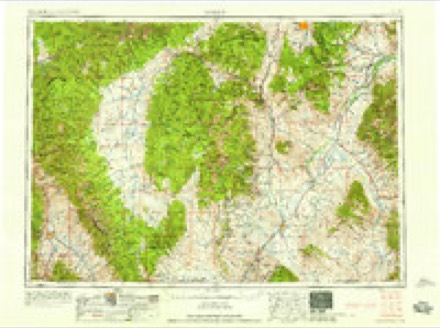
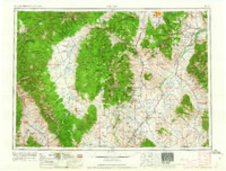
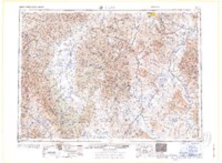
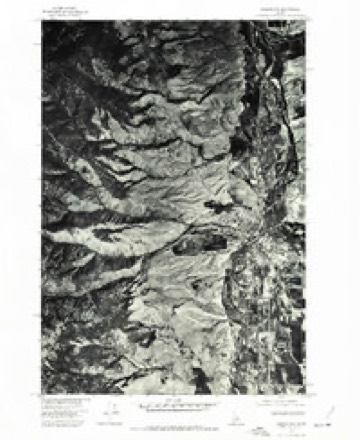
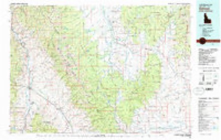
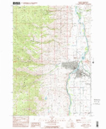
10 surveys from 13 printed sheetsMatched by testing this settlement's coordinate against the published boundary of every sheet in the United States Geological Survey's historical collection. Each opens the scanned sheet at the Survey.
- 1950 USGS Salmon quadrangle1:62500, 3 printings
- 1951 USGS Salmon quadrangle1:62500
- 1955 USGS Dillon quadrangle1:250000, 2 printings
- 1957 USGS Dillon quadrangle1:250000
- 1958 USGS Dillon quadrangle1:250000
- 1962 USGS Dillon quadrangle1:250000
- 1965 USGS Dillon quadrangle1:250000
- 1974 USGS Salmon NW quadrangle1:24000
- 1981 USGS Salmon quadrangle1:100000
- 1989 USGS Salmon quadrangle1:24000
Fires near this place
31 since 1992Regional context, not property-specific evidence. The federal wildfire occurrence database lists 31 fires within 5 miles of Salmon between 1992 and 2018, burning about 38 acres in total. 10 started naturally. 4 were recorded as arson. Distance is straight-line from the map coordinates, so a fire counted here may appear on a neighbouring settlement's page as well.
| Reported cause | Fires |
|---|---|
| Natural | 10 |
| Recreation and ceremony | 6 |
| Missing data/not specified/undetermined | 6 |
| Arson/incendiarism | 4 |
| Fireworks | 3 |
| Equipment and vehicle use | 1 |
| Debris and open burning | 1 |
The most recent of them, most recent first, with the day each was reported and the service that recorded it.
| Date | Cause | Size | Reported by | Name on the report |
|---|---|---|---|---|
| 5 September 2001 | Natural | under an acre | Salmon-Challis National Forest | CHIPS |
| 5 September 2001 | Natural | under an acre | Salmon-Challis National Forest | GORLEY |
| 17 September 2018 | Missing data/not specified/undetermined | 2.0 acres | Idaho Falls District | LEMHI COUNTY ASSIST 3 |
| 8 August 2018 | Missing data/not specified/undetermined | 1.0 acres | Idaho Falls District | LEMHI COUNTY ASSIST 2 |
| 5 August 1994 | Natural | under an acre | Idaho Falls District | CHIPPS |
| 4 August 1994 | Missing data/not specified/undetermined | under an acre | Idaho Falls District | DIAMOND |
| 23 August 2017 | Missing data/not specified/undetermined | 1.0 acres | Idaho Falls District | LEMHI COUNTY ASSIST 2 |
| 22 August 2005 | Recreation and ceremony | under an acre | Idaho Falls District | DERIAR |
Settlements close enough to share some of these fires:
Mines and quarries near this place
10 of 26 shownRegional context, not property-specific evidence. The federal mineral resources record lists 26 workings within 5 miles of Salmon: 11 occurrences, 9 past producers, 4 unknowns, 1 producer. 1 still produces. What was taken out: Gold, Stone, Crushed/Broken, Bentonite, Silver, Lead. Distance is straight-line from the map coordinates, so a quarry counted here may appear on a neighbouring settlement's page as well.
| Where | Site | Commodity | Status | Recorded |
|---|---|---|---|---|
| Andrews Mine | Gold, Silver, Lead | Occurrence | Vein | |
| Bob Moore Creek Prospect | Tungsten, Copper, Lead, Gold | Occurrence | 1882 | |
| Bob Moore Creek Prospect | Gold, Lead, Copper | Occurrence | ||
| Bob Moore Uranium Prospect | Uranium | Occurrence | ||
| Bromite Silver Lodes | Silver | Occurrence | Underground | |
| Havenman Pit | Sand and Gravel, Construction | Producer | ||
| Silverton Prospect | Lead, Silver, Copper, Zinc, Gold | Past Producer | Anglesite, Chalcopyrite, Galena, Malachite, Sphalerite | |
| Sparkplug Kyanite Prospect | Kyanite | Occurrence | Metamorphic | |
| Unnamed Prospect | Thorium, REE | Occurrence | Vein | |
| Wilson Creek Claim | Quartz | Occurrence |
Storms near this place
32 since 1998Regional context, not property-specific evidence. The National Weather Service names Salmon in 32 storm reports between 1998 and 2024: 21 thunderstorm wind, 6 hail, 2 flash flood, 2 flood. No death or injury is recorded in these reports. Each account below is quoted exactly as the forecast office filed it, from the NOAA Storm Events Database, and each date opens the federal record of that event.
| When | Event | Place named | Harm | What the report says |
|---|---|---|---|---|
| August 2013 | Hail | Salmon | $490,000 | A very large right-moving & long-lived supercell developed across south-central Idaho and tracked north and east across northeastern Lemhi county. A trained spotter in Salmon, Idaho reported quarter size hail. Insurance companies reported at least 200 damage claims to both vehicles and homes from downtown, northwest Salmon and between Salmon and Carmen. An auto body reported fixing 15 passenger vehicles and 20 recreation vehicles caused by hail damage. The hail fell for at least 15 minutes damaging roofs, siding, stucco and windows. One person reported this was the worst storm she had seen in 42 years. |
| February 2015 | Flood | Salmon | $40,000 | Temperatures up to 48 F on February 6th, 2015 and above-freezing temperatures near 44 F overnight led to rapid snow melt which caused Salmon, ID area creeks and rivers to rise rapidly on February 7th. Temperatures reached up to 56 F that day, with rain runoff further complicating issues. The main flooding occurred near Kitz Creek and its confluence with the Salmon River. Four homes sustained minor flood damage in Salmon, ID. Additionally, the Salmon County Airport was shutdown for the day due to water on the runway. |
| July 2022 | Thunderstorm Wind | Salmon | $15,000 | A RAWS station above the city of Salmon recorded a wind gust to 66 mph. There was extensive damage within Salmon, mainly centered on the southern side of the city. Damage included damage to roofs, RVs blown over, and high school bleachers blown over. |
| August 2013 | Thunderstorm Wind | Salmon | $10,500 | A trained spotter in Salmon, Idaho reported trees down over roadways, power lines down in three different areas with power outages and a roof over a patio blew off. |
| June 2005 | Thunderstorm Wind | Salmon | $10,000 | no account filed |
| September 2013 | Thunderstorm Wind | Salmon | $5,000 | The Salmon RAWS located 3 miles southwest of the city of Salmon at 5,100 feet reported a strong wind gust to 69 mph that occurred sometime between 5:36 and 6:00 pm MDT. Weather spotters reported trees down and a power outage in Salmon. A television news station reported on Facebook that over 5,000 people were affected. A person from the public in Salmon commented on this post that power was still out in parts of Salmon at 9 am MDT on September 6th. |
| August 2010 | Thunderstorm Wind | Salmon | $2,000 | A trained spotter reported shingles blown off their roof in Salmon, as well as downed trees on Highway 93 south between Salmon and Challis. |
| July 2010 | Thunderstorm Wind | Salmon | $1,000 | Strong winds blew the chimney off of the Syringa Lodge as well as some of the tin on the roof. |
| September 2024 | Thunderstorm Wind | Salmon | - | A strong cold front initiated a thunderstorm over the mountains to the west. Radar imagery revealed the thunderstorm dropped its core by 6:13 pm which triggered the high winds. No storm damage noted around the town of Salmon. |
| May 2017 | Flood | Salmon | - | The USGS river gauge Salmon River at Salmon reported minor flooding on May 31st. The river continued to rise and reached moderate flood stage in the first half of June. See June storm data report for more information. |
| September 2013 | Heavy Rain | Salmon | - | The Salmon RAWS, located at 5,100 ft. MSL, reported 0.58 of rainfall in one hour. According to radar storm echo trends, the rain could have fallen in less than 30 minutes time. |
| July 2010 | Thunderstorm Wind | Salmon | - | A 64 mph wind gust was measured by the salmon RAWS station. |
| August 2010 | Thunderstorm Wind | Salmon | - | Winds were measured by the Salmon AWOS. |
| August 2010 | Thunderstorm Wind | Salmon | - | A square 16 by 16 cinder block was moved completely off a plywood sheet and the plywood was blown away. Gutters were blown down. Some metal lawn furniture was blown off the porch. Several bails of peat moss were blown around. |
| August 2010 | Thunderstorm Wind | Salmon | - | Wind gust reported from Salmon RAWS. |
| July 2008 | Flash Flood | Salmon | - | Trained spotter reported several debris flows which resulted in closing of a 10 mile stretch along Highway 93 between Salmon and Ellis from a half inch of rainfall in 30 minutes. |
| August 2008 | Hail | Salmon | - | A trained spotter reported 0.75 inch hail from a thunderstorm. |
| August 2008 | Hail | Salmon | - | A trained spotter reported 0.75 inch hail from a thunderstorm. |
| July 2008 | Hail | Salmon | - | A trained spotter reported hail that was a quarter to half dollar size near Elk Bend. |
| June 2006 | Thunderstorm Wind | Salmon | - | no account filed |
| June 2005 | Thunderstorm Wind | Salmon | - | no account filed |
| August 2005 | Hail | Salmon | - | no account filed |
| August 2005 | Hail | Salmon | - | no account filed |
| July 2004 | Thunderstorm Wind | Salmon | - | no account filed |
| August 2004 | Thunderstorm Wind | Salmon | - | no account filed |
| August 2003 | Flash Flood | Salmon | - | no account filed |
| August 2002 | Thunderstorm Wind | Salmon | - | no account filed |
| July 2002 | Thunderstorm Wind | Salmon | - | no account filed |
| July 2002 | Thunderstorm Wind | Salmon | - | no account filed |
| July 2000 | Thunderstorm Wind | Salmon | - | no account filed |
| August 1998 | Thunderstorm Wind | Salmon | - | no account filed |
| August 1998 | Thunderstorm Wind | Salmon | - | no account filed |
Nearest settlements
The eight closest, with where each one stands in the county. Distances are straight-line, computed from the Geographic Names Information System coordinates.
| Map | Place | Distance | Sheets |
|---|---|---|---|
| Carmen | 4.6 miles | 13 | |
| Baker | 10.2 miles | 10 | |
| Williams Lake Resort | 11.9 miles | 12 | |
| Leesburg | 12.0 miles | 10 | |
| North Fork | 16.7 miles | 9 | |
| Blackbird | 17.7 miles | 10 | |
| Cobalt | 18.7 miles | 10 | |
| Tendoy | 20.0 miles | 11 |
Elsewhere
Matched on this settlement's Geographic Names Information System number rather than its name, so it cannot be a different place of the same name in another state.
| Wikipedia article on Salmon | An encyclopaedic summary. Its text is share-alike, so it is linked here rather than copied. |
| Wikidata item Q1516936 | The structured record the population and elevation above come from. Public domain (CC0). |
Provenance
This settlement is recorded in the Geographic Names Information System as feature 398084. The sheet list is computed by point-in-boundary test against the United States Geological Survey's historical topographic inventory. Both are works of the United States government and carry no copyright under 17 U.S.C. 105.
Wildfire. Short, Karen C. 2022. Spatial wildfire occurrence data for the United States, 1992-2020 [FPA_FOD_20221014]. 6th Edition. Fort Collins, CO: Forest Service Research Data Archive. https://doi.org/10.2737/RDS-2013-0009.6 Collected with United States Government funding and usable without additional permissions or fees.
Mines and quarries. USGS Mineral Resources Data System (MRDS) https://mrdata.usgs.gov/mrds/ A work of the United States government, no copyright under 17 U.S.C. 105.
Storms. NOAA National Centers for Environmental Information, Storm Events Database https://www.ncei.noaa.gov/stormevents/ A work of the United States government, no copyright under 17 U.S.C. 105. Narratives are quoted verbatim from the National Weather Service report and are not edited or summarised.