 Block
Rexburg, Idaho
13 topographic sheets cover this place, the earliest surveyed in 1949 and the latest in 1988. It stands in the Rexburg census division. It lies in ZIP code area 83440. The Survey maps it on the Rexburg quadrangle. 39,409 people lived here at the 2020 count. It stands 4,865 feet above sea level.
Research this city
On record in Rexburg
Buildings and businesses the archive holds for this place. Each opens its own page, with the source record it came from.
On the National Register 3 records
 Madison County Courthouselisted 1987
 Rexburg Stake Tabernaclelisted 1974
 Jacob Spori Buildinglisted 1989
Population over time
2 figuresRexburg grew from 25,484 to 39,409 between 2010 and 2020. These are the recorded population figures Wikidata holds for this place, reached through the Geographic Names Information System number this page is keyed on rather than by name, so they belong to this place and not to another of the same name. Most are census counts, but not all are: an early figure may be a founding or settlement estimate, and an estimate published within five years of a census is left out. The change column is computed, and is left blank where more than 20 years separate a figure from the one before it, because a gap that long is not a change between two counts.
| Year | People | Change |
|---|---|---|
| 2010 | 25,484 | |
| 2020 | 39,409 | +13,925 (+55%) |
Topographic sheets covering this place
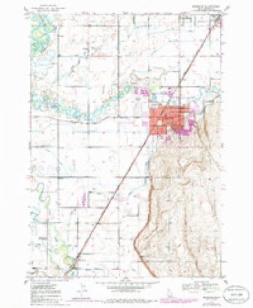
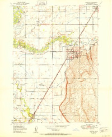
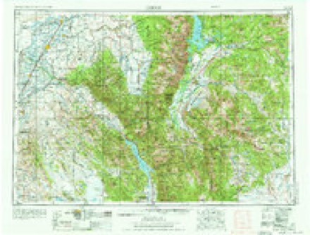
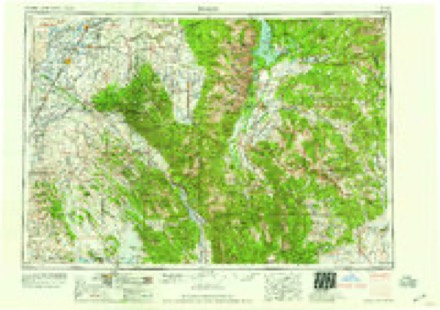
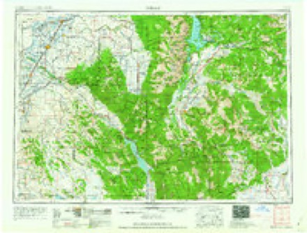
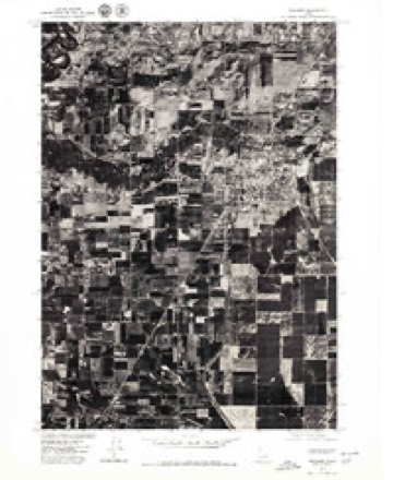
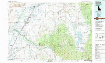
7 surveys from 13 printed sheetsMatched by testing this settlement's coordinate against the published boundary of every sheet in the United States Geological Survey's historical collection. Each opens the scanned sheet at the Survey.
- 1949 USGS Rexburg quadrangle1:24000, 4 printings
- 1950 USGS Rexburg quadrangle1:24000
- 1955 USGS Driggs quadrangle1:250000, 3 printings
- 1958 USGS Driggs quadrangle1:250000, 2 printings
- 1962 USGS Driggs quadrangle1:250000
- 1976 USGS Rexburg quadrangle1:24000
- 1988 USGS Rexburg quadrangle1:100000
Mines and quarries near this place
6 within 5 milesRegional context, not property-specific evidence. The federal mineral resources record lists 6 workings within 5 miles of Rexburg: 5 producers, 1 past producer. 5 still produce. What was taken out: Sand and Gravel, Construction. Distance is straight-line from the map coordinates, so a quarry counted here may appear on a neighbouring settlement's page as well.
| Where | Site | Commodity | Status | Recorded |
|---|---|---|---|---|
| Gravel Pit | Sand and Gravel, Construction | Producer | ||
| Gravel Pit | Sand and Gravel, Construction | Producer | ||
| Gravel Pit | Sand and Gravel, Construction | Producer | ||
| Gravel Pit | Sand and Gravel, Construction | Producer | ||
| Gravel Pit | Sand and Gravel, Construction | Past Producer | ||
| Walters Pit and Plant | Sand and Gravel, Construction | Producer |
Storms near this place
42 since 1996Regional context, not property-specific evidence. The National Weather Service names Rexburg in 42 storm reports between 1996 and 2023: 10 thunderstorm wind, 9 hail, 7 flood, 5 funnel cloud. No death or injury is recorded in these reports. Each account below is quoted exactly as the forecast office filed it, from the NOAA Storm Events Database, and each date opens the federal record of that event.
| When | Event | Place named | Harm | What the report says |
|---|---|---|---|---|
| July 2014 | Flash Flood | Rexburg | $600,000 | A thunderstorm dropped anywhere from 1 to 3 inches in the city of Rexburg. A single thunderstorm cell moved over the city and heavy rain began at around 5:30 pm MDT. Main Street was shut down with over a foot of running water on it. Businesses on Main Street suffered damage. 15 businesses on the south side of Main Street and south 2nd West received minor flood damage consisting of a few inches of water entering their businesses. ||The Hidden Valley neighborhood in northeast Rexburg had approximately 20 homes from a few inches in a basement up to a basement full in 2 of them. The Mill Hollow subdivision had 20 homes reported having water damage. A few homes had 1 to 3 feet of water in their basements. ||The BYU Idaho campus was hit hard by the flooding. Three-quarters of the buildings on campus had water in them. Apartments on campus had up to 6 feet of standing water in them. Birch Plaza and Birchwood Apartments were the worst hit on campus. Water was high enough that furniture was floating in the buildings. ||Total damages of the flooding were estimated at $600,000. |
| May 2023 | Flash Flood | Rexburg | $150,000 | Heavy rainfall in the range of 1 to 2 inches in less than two hours caused flash flooding in Rexburg with sandbagging occurring and several basements of homes occurring. Street flooding occurred with flooding along Yale Avenue and the Trejo and Mariah area. |
| April 2023 | Flood | Rexburg | $100,000 | The beginning of snowmelt caused some flooding and county roads to wash away east of Rexburg. Madison County closed two roads due to wash out and one due to two mud slides near each other. The mud slides occurred on 6000 East. The roads are in largely agricultural areas. Few homes were in the areas and had secondary means of access to their properties. We also had a canal fill with water and the canal side fail. Water from this failure ran past a neighborhood, with little damage to driveways reported. Road damage was estimated at 100 thousand dollars. |
| April 2018 | Thunderstorm Wind | Rexburg | $35,000 | Thunderstorm outflow winds caused damage in Madison County with the Emergency manager reporting costs of $35,000. |
| August 2000 | Lightning | Rexburg | $20,000 | A lightning strike sparked a house fire that burned portions of the roof and ceiling. |
| August 2010 | Thunderstorm Wind | Rexburg | $10,000 | Two power lines down with one caused by a large tree falling on it. |
| June 2019 | Thunderstorm Wind | Rexburg | $8,000 | A tree fell down and damaged a house in Thornton. A shed on Teton Road in eastern Madison County was destroyed. |
| July 2004 | Flash Flood | Rexburg | $8,000 | no account filed |
| June 2011 | Flood | Rexburg | $2,000 | The Henry's Fork near Rexburg was above flood stage from June 1st through June 30th with the exception of the period from June 4th through the morning of June 7th. Major flood stage was reached and crested at 11.85 feet on June 9th. Extensive flooding of agricultural and low lands occurred. Beaver Dick Park flooded, river access recreation areas flooded as did portions of county roads. Water covered a road in the Warm Slough Access to a depth of over one foot. Water flooded the crawl space to one home. |
| August 2011 | Thunderstorm Wind | Rexburg | $1,000 | Thunderstorm winds caused power lines to arc and be damaged closing HIghway 33 near Rexburg from 7 pm to 9 pm MDT between 3000 and 4000 W. |
| May 2019 | Funnel Cloud | Rexburg | - | Funnel cloud photographed in Rexburg. |
| June 2019 | Funnel Cloud | Rexburg | - | Several funnels spotted with rotating wall cloud. |
| June 2019 | Funnel Cloud | Rexburg | - | Funnel cloud seen over the Rexburg LDS temple. |
| June 2019 | Thunderstorm Wind | Rexburg | - | A storm chaser estimated 60 mph wind gusts in Rexburg. |
| June 2018 | Flash Flood | Rexburg | - | Extremely heavy rain caused mud slides and flooding mainly across the Squired Dugway area. A lot of gravel roads suffered damage. The Squired Dugway area had three homes and several outbuildings damages with livestock threatened. |
| May 2018 | Hail | Rexburg | - | One inch hail reported 4 miles west of Rexburg. |
| May 2016 | Hail | Rexburg | - | One inch hail in Rexburg. |
| May 2016 | Hail | Rexburg | - | Facebook photographs revealed 1.75 inch hail in Rexburg. |
| May 2015 | Funnel Cloud | Rexburg | - | Funnel cloud photographed near Rexburg at around 2 pm MDT. |
| August 2015 | Thunderstorm Wind | Rexburg | - | A trained spotter traveling on Salem Highway 4 reported several 3 to 4 inch tree branches laying in the road. |
| September 2014 | Thunderstorm Wind | Rexburg | - | Multiple trained spotters reported 60 mph winds from a thunderstorm outflow boundary in Rexburg. |
| February 2012 | Flood | Rexburg | - | One of the canals in Newdale was broken open due to possible home flooding and it was breached into fields near Rexburg. |
| May 2011 | Flood | Rexburg | - | The Henry's Fork River near Rexburg reached flood stage of 9.5 feet on May 15th and remained above through the end of the month. The river peaked at 10.96 feet on May 26th. Extensive low land flooding occurred. Beaver Dick Park was flooded as were some river access recreational areas. Water covered portions of the road in the Warm Slough Access to a depth of around one foot. |
| July 2011 | Flood | Rexburg | - | The Henry's Fork River near Rexburg was above flood stage to start July and remained above flood stage until July 8th. The river crested at 9.92 feet on July 2nd. Minor floodign of farmland and lowland occurred. Portions of Beaver Dick Park were flooded as well as some recreational river access sites. |
| June 2008 | Flood | Rexburg | - | The Henry's Fork River near Rexburg was above flood stage in the latter portion of May through June 7th. The river crested at 9.68 feet on June 6th with a maximum stage of 10.43 feet on May 23rd. No property damage occurred and no injuries or fatalities occurred. |
| June 1998 | Thunderstorm Wind | Rexburg | - | Tri-state Tire Plant lost 100' of its roof. Numerous trees downed causing power outages. Barn roof blown off. |
| August 1997 | Heavy Rain | Rexburg | - | Storm spotter measured 0.73 rain and 1/2 inch diameter hail. |
| August 1997 | Heavy Rain | Rexburg | - | The Ricks College Livestock Center and the Ferguson Farms reported a prolonged period of extremely heavy rain with considerable ponding and low area flooding from Highway 33 north to near Plano area. |
| May 2016 | Hail | Rexburg | - | no account filed |
| May 2016 | Hail | Rexburg | - | no account filed |
| May 2006 | Flood | Rexburg | - | no account filed |
| July 2004 | Hail | Rexburg | - | no account filed |
| August 2003 | Wildfire | Rexburg | - | no account filed |
| April 2002 | Thunderstorm Wind | Rexburg | - | no account filed |
| August 2000 | Thunderstorm Wind | Rexburg | - | no account filed |
| June 1998 | Hail | Rexburg | - | no account filed |
| June 1998 | Funnel Cloud | Rexburg | - | no account filed |
| August 1997 | Hail | Rexburg | - | no account filed |
| September 1997 | Hail | Rexburg | - | no account filed |
| July 1996 | Lightning | Rexburg | - | no account filed |
| July 1996 | Lightning | Rexburg | - | no account filed |
| September 1996 | Heavy Rain | Rexburg | - | no account filed |
Nearest settlements
The eight closest, with where each one stands in the county. Distances are straight-line, computed from the Geographic Names Information System coordinates.
Elsewhere
Matched on this settlement's Geographic Names Information System number rather than its name, so it cannot be a different place of the same name in another state.
| Wikipedia article on Rexburg | An encyclopaedic summary. Its text is share-alike, so it is linked here rather than copied. |
| Wikidata item Q818311 | The structured record the population and elevation above come from. Public domain (CC0). |
Provenance
This settlement is recorded in the Geographic Names Information System as feature 374648. The sheet list is computed by point-in-boundary test against the United States Geological Survey's historical topographic inventory. Both are works of the United States government and carry no copyright under 17 U.S.C. 105.
Mines and quarries. USGS Mineral Resources Data System (MRDS) https://mrdata.usgs.gov/mrds/ A work of the United States government, no copyright under 17 U.S.C. 105.
Storms. NOAA National Centers for Environmental Information, Storm Events Database https://www.ncei.noaa.gov/stormevents/ A work of the United States government, no copyright under 17 U.S.C. 105. Narratives are quoted verbatim from the National Weather Service report and are not edited or summarised.