 Block
Rose Lake, Idaho
14 topographic sheets cover this place, the earliest surveyed in 1909 and the latest in 1996. It stands in the Harrison census division. It lies in ZIP code area 83810. It stands on Bull Run Creek. The Survey maps it on the Rose Lake quadrangle. It stands 2,149 feet above sea level.
On record in Rose Lake
Buildings and businesses the archive holds for this place. Each opens its own page, with the source record it came from.
On the National Register 1 record
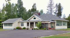 Rose Lake School IIlisted 1985
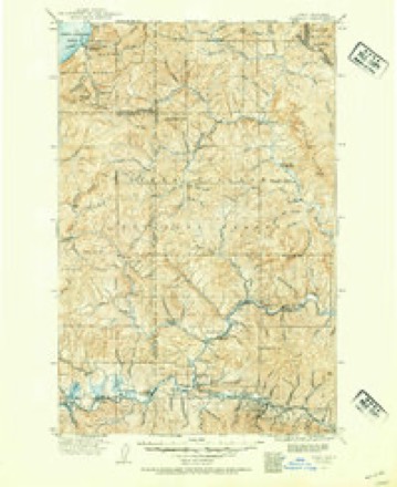
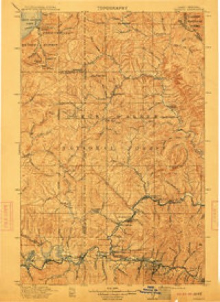
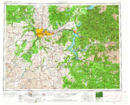
Topographic sheets covering this place
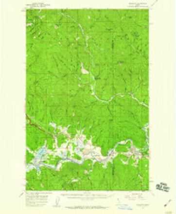
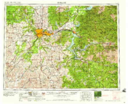
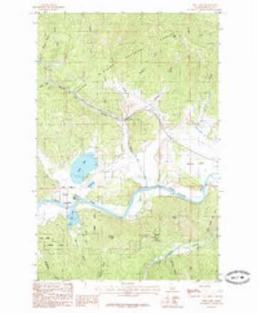
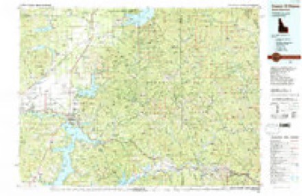
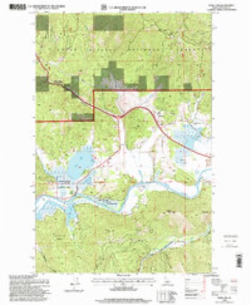
8 surveys from 14 printed sheetsMatched by testing this settlement's coordinate against the published boundary of every sheet in the United States Geological Survey's historical collection. Each opens the scanned sheet at the Survey.
- 1909 USGS Cataldo quadrangle1:125000
- 1911 USGS Cataldo quadrangle1:125000, 2 printings
- 1955 USGS Spokane quadrangle1:250000, 2 printings
- 1957 USGS Kingston quadrangle1:62500, 3 printings
- 1958 USGS Spokane quadrangle1:250000
- 1985 USGS Rose Lake quadrangle1:24000
- 1987 USGS Coeur D'Alene quadrangle1:100000, 3 printings
- 1996 USGS Rose Lake quadrangle1:24000
Fires near this place
76 since 1992Regional context, not property-specific evidence. The federal wildfire occurrence database lists 76 fires within 5 miles of Rose Lake between 1992 and 2020, burning about 186 acres in total. 32 started naturally. 3 were recorded as arson. Distance is straight-line from the map coordinates, so a fire counted here may appear on a neighbouring settlement's page as well.
| Reported cause | Fires |
|---|---|
| Natural | 32 |
| Missing data/not specified/undetermined | 11 |
| Equipment and vehicle use | 10 |
| Debris and open burning | 7 |
| Recreation and ceremony | 6 |
| Arson/incendiarism | 3 |
| Misuse of fire by a minor | 3 |
| Smoking | 2 |
| Fireworks | 2 |
The most recent of them, most recent first, with the day each was reported and the service that recorded it.
| Date | Cause | Size | Reported by | Name on the report |
|---|---|---|---|---|
| 7 September 2020 | Fireworks | under an acre | Idaho Department of Lands | SOUTH RIVER RD |
| 6 September 2003 | Missing data/not specified/undetermined | under an acre | Idaho Department of Lands | JULY CANYON |
| 24 September 2011 | Recreation and ceremony | under an acre | Idaho Department of Lands | DUDLEY 2 |
| 16 September 2020 | Missing data/not specified/undetermined | under an acre | Cataldo Area Office | ROSE LAKE |
| 12 September 2020 | Recreation and ceremony | under an acre | Idaho Department of Lands | CANYON ROAD |
| 11 September 2013 | Natural | under an acre | Idaho Panhandle National Forest | DOYLE |
| 1 September 1999 | Arson/incendiarism | 1.5 acres | Idaho Department of Lands | BLACKROCK RIDGE |
| 8 August 2000 | Debris and open burning | under an acre | Idaho Department of Lands | BEAVER ROAD |
Settlements close enough to share some of these fires:
Mines and quarries near this place
10 within 5 milesRegional context, not property-specific evidence. The federal mineral resources record lists 10 workings within 5 miles of Rose Lake: 5 prospects, 2 occurrences, 2 producers, 1 past producer. 2 still produce. What was taken out: Lead, Zinc, Sand and Gravel, Construction, Zinc, Copper. Distance is straight-line from the map coordinates, so a quarry counted here may appear on a neighbouring settlement's page as well.
| Where | Site | Commodity | Status | Recorded |
|---|---|---|---|---|
| Coeur D'Alene Meadows Peat Occurrence | Peat | Occurrence | Peat | |
| Crystal Spring Prospect | Copper | Prospect | Vein | |
| Gray Eagle Prospect | Lead, Zinc, Copper | Prospect | Chalcopyrite, Galena, Sphalerite | |
| Master Mine No. 1 | Gold | Past Producer | ||
| Stroebel Prospect | Lead, Zinc, Silver, Copper | Prospect | 1918 | |
| Gravel Pit | Sand and Gravel, Construction | Producer | ||
| Gravel Pit | Sand and Gravel, Construction | Producer | ||
| King Solomon Prospect | Lead, Zinc | Prospect | Vein | |
| King Tut Prospect | Lead, Zinc | Prospect | Vein | |
| Silver Mist Claim | Lead, Zinc | Occurrence |
Storms near this place
7 since 1998Regional context, not property-specific evidence. The National Weather Service names Rose Lake in 7 storm reports between 1998 and 2018: 4 flood, 1 wildfire, 1 thunderstorm wind, 1 debris flow. No death or injury is recorded in these reports. Each account below is quoted exactly as the forecast office filed it, from the NOAA Storm Events Database, and each date opens the federal record of that event.
| When | Event | Place named | Harm | What the report says |
|---|---|---|---|---|
| August 1998 | Wildfire | Rose Lake | $20,000 | Lightning sparked 20 small fires in the Couer d'Alene National Forest near Rose Lake. Each fire was less than an acre. |
| December 2010 | Flood | Rose Lake | $10,000 | no account filed |
| March 2018 | Debris Flow | Rose Lake | $5,000 | Idaho State Police reported that a rock slide closed both westbound lanes of Interstate 90 near 4th of July Pass. |
| January 2009 | Flood | Rose Lake | $2,000 | no account filed |
| July 2012 | Thunderstorm Wind | Rose Lake | $1,000 | Tree blown down on power line. |
| May 2011 | Flood | Rose Lake | $500 | Flooding of the Coeur D Alene River resulted in several roads being inundated with water between Rose Lake and Cataldo. Approximately three-quarters of a mile of Rose Creek Road from Highway 3 had nearly a foot and a half of water over it and was closed for several days. A mile of Dudley Road, just west of Cataldo, was under a foot of water. The community of Rose Lake itself at Highway 3 experienced some backflow from the Coeur D Alene River, causing a slight build-up of water up to some houses foundations. The west end of King Street in Rose Lake was completely covered in water. One resident living at the end of King Street reported having as much as three to four feet of water against his foundation. The only damage to his property was to sheetrock in his garage. |
| April 2012 | Flood | Rose Lake | - | Multiple roads flooded, including East Dudley Road, Latour Creek Road and Riverview Drive in Cataldo. Kahnderosa Campground along Latour Creek Road was flooded and water across Dudley Road left some residents stranded. One resident on East Dudley Road estimated about three feet of water was over the road at one point. No damage was reported. |
Nearest settlements
The eight closest, with where each one stands in the county. Distances are straight-line, computed from the Geographic Names Information System coordinates.
| Map | Place | Distance | Sheets |
|---|---|---|---|
| Dudley | 2.5 miles | 14 | |
| Canyon | 4.0 miles | 14 | |
| Lane | 4.1 miles | 15 | |
| Smaq'wqn Hill | 8.1 miles | 10 | |
| Medimont | 8.3 miles | 10 | |
| Wolf Lodge | 10.4 miles | 14 | |
| Springston | 14.5 miles | 10 | |
| Eddyville | 14.8 miles | 16 |
Elsewhere
Matched on this settlement's Geographic Names Information System number rather than its name, so it cannot be a different place of the same name in another state.
| Wikidata item Q64527005 | The structured record the population and elevation above come from. Public domain (CC0). |
Provenance
This settlement is recorded in the Geographic Names Information System as feature 398070. The sheet list is computed by point-in-boundary test against the United States Geological Survey's historical topographic inventory. Both are works of the United States government and carry no copyright under 17 U.S.C. 105.
Wildfire. Short, Karen C. 2022. Spatial wildfire occurrence data for the United States, 1992-2020 [FPA_FOD_20221014]. 6th Edition. Fort Collins, CO: Forest Service Research Data Archive. https://doi.org/10.2737/RDS-2013-0009.6 Collected with United States Government funding and usable without additional permissions or fees.
Mines and quarries. USGS Mineral Resources Data System (MRDS) https://mrdata.usgs.gov/mrds/ A work of the United States government, no copyright under 17 U.S.C. 105.
Storms. NOAA National Centers for Environmental Information, Storm Events Database https://www.ncei.noaa.gov/stormevents/ A work of the United States government, no copyright under 17 U.S.C. 105. Narratives are quoted verbatim from the National Weather Service report and are not edited or summarised.