 Block
From the record
One of 31 National Register listings published here for Washington County · listed in 2017 · category: Building.
Sources: the National Register database, National Park Service
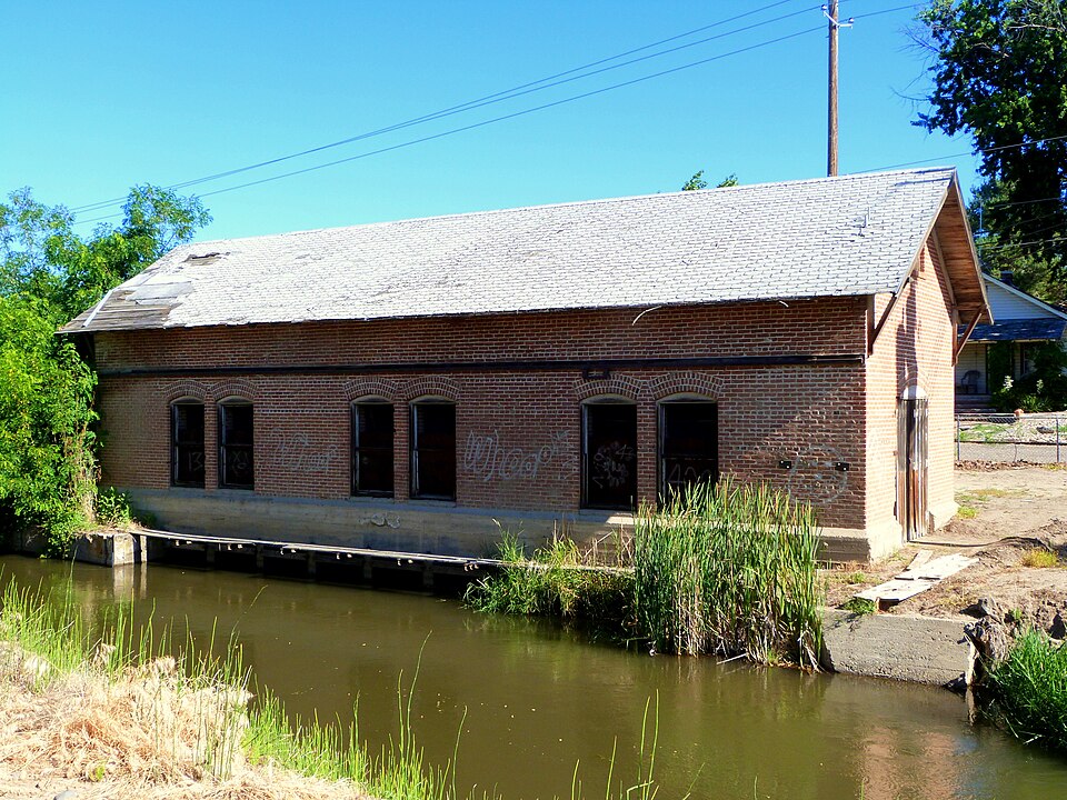
Listed on the National Register of Historic Places in 2017.
One of 31 National Register listings published here for Washington County · listed in 2017 · category: Building.
Sources: the National Register database, National Park Service
Regional context, not property-specific evidence. The federal wildfire occurrence database lists 8 fires within 5 miles of Institute Canal Company Pump House between 1992 and 2020, burning about 1,608 acres in total. 3 started naturally. None was recorded as arson. Distance is straight-line from the map coordinates, so a fire counted here may appear on a neighbouring settlement's page as well.
| Reported cause | Fires |
|---|---|
| Natural | 3 |
| Missing data/not specified/undetermined | 2 |
| Equipment and vehicle use | 1 |
| Debris and open burning | 1 |
| Power generation/transmission/distribution | 1 |
The most recent of them, most recent first, with the day each was reported and the service that recorded it.
| Date | Cause | Size | Reported by | Name on the report |
|---|---|---|---|---|
| 27 August 2020 | Natural | 37 acres | Payette National Forest | JENKINS |
| 24 August 2000 | Natural | under an acre | Payette National Forest | SAND I |
| 16 August 2011 | Missing data/not specified/undetermined | 364 acres | Boise District | SAGEBRUSH |
| 7 July 2015 | Power generation/transmission/distribution | 33 acres | Payette National Forest | JENKINS |
| 6 July 1997 | Equipment and vehicle use | 1.0 acres | Vale District | SLIDES |
| 5 July 2002 | Debris and open burning | 5.0 acres | Payette National Forest | EATON RD. |
| 28 June 1992 | Natural | 75 acres | Vale District | PATCHGULCH |
| 12 June 2015 | Missing data/not specified/undetermined | 1,092 acres | Boise District | RIVER |
Regional context, not property-specific evidence. The federal mineral resources record lists 14 workings within 5 miles of Institute Canal Company Pump House: 8 occurrences, 3 past producers, 2 producers, 1 prospect. 2 still produce. What was taken out: Geothermal, Clay, Sand and Gravel, Construction, Silica. Distance is straight-line from the map coordinates, so a quarry counted here may appear on a neighbouring settlement's page as well.
| Where | Site | Commodity | Status | Recorded |
|---|---|---|---|---|
| Blue Dog | Gold, Silver | Prospect | Volcanogenic Massive Sulfide | |
| Bristol Northwest Silica | Silica | Producer | ||
| Monroe Creek Tuff Deposit | Clay, Fullers Earth | Occurrence | 1911 | |
| Clay Occurrence | Clay | Occurrence | 1919 | |
| Geothermal Location | Geothermal | Occurrence | ||
| Geothermal Location | Geothermal | Occurrence | ||
| Geothermal Location | Geothermal | Occurrence | ||
| Geothermal Location | Geothermal | Occurrence | ||
| Gravel Pit | Sand and Gravel, Construction | Past Producer | ||
| Sand Pit | Sand and Gravel, Construction | Past Producer |
Regional context, not property-specific evidence. The National Weather Service names Weiser, the town this property stands in, in 22 storm reports between 1995 and 2023: 12 thunderstorm wind, 4 flood, 2 hail, 2 tornado. The reports record 3 injuries. Each account below is quoted exactly as the forecast office filed it, from the NOAA Storm Events Database, and each date opens the federal record of that event.
| When | Event | Place named | Harm | What the report says |
|---|---|---|---|---|
| July 1999 | Thunderstorm Wind | Weiser | 3 hurt | Thunderstorm downburst winds of up to 80 mph damaged several homes and businesses in downtown Weiser. Numerous trees were downed on homes, with 2 people sustaining broken bones and a third sustaining a minor shoulder injury. The roofs of several businesses were damaged or blown off. The damaged area was two miles wide and 5 miles in length. |
| February 2017 | Flood | Weiser | $1,000,000 | An ice jam released and caused flooding downstream along the Weiser River near the town of Weiser. Some homes near the river were flooded and widespread flooding of agricultural land occurred. A few residents living near the river were evacuated from their homes and one resident had to be rescued via helicopter. Flood waters inundated a portion of U.S. Highway 95 just south of Weiser. |
| May 1996 | Tornado (F1) | Weiser | $50,000 | no account filed |
| June 2002 | Thunderstorm Wind | Weiser | $30,000 | On the evening of June 27th, thunderstorm winds toppled numerous trees and caused structural damage to several outbuildings and to six houses in Weiser, Idaho. A National Weather Service storm survey estimated wind speeds between 60 and 90 mph. |
| August 2023 | Thunderstorm Wind | Weiser | - | Spotter reported thunderstorm wind gusts resulting in 3 large pine trees knocked down, small branches breaking, and one large branch breaking. |
| April 2017 | Flood | Weiser | - | Flooding continued from the previous month of March along the Snake River in southern Washington County near Weiser. |
| May 2014 | Thunderstorm Wind | Weiser | - | A trained spotter reported trees down around the Weiser area due to thunderstorm outflow winds. |
| April 2012 | Thunderstorm Wind | Weiser | - | Wind damage including large tree limbs and power lines down was reported by a county official. |
| March 2011 | Flood | Weiser | - | Moderate flooding occured on the Weiser River around Weiser, Idaho with flooding of houses and buildings. The flooding also closed U.S Highway 95 and county roads around the area. The river crested at 12.1 feet which is about 2.5 feet above flood stage. |
| June 2010 | Thunderstorm Wind | Weiser | - | Washington County Emergency Manager reported large trees down on power lines on Cove Road west of Weiser and an out building was leveled just south of Weiser. |
| June 2009 | Flash Flood | Weiser | - | Law enforcement reported flash flooding on a creek west of Weiser, Idaho. Water flowing across Olds Ferry Road prompted county officials to close the route. |
| July 2003 | Hail | Weiser | - | Near Weiser High School. |
| September 2001 | Tornado (F0) | Weiser | - | A tornado touched down briefly and moved east, crossing US Highway 95 about 7 miles north of Weiser. A barn, shed and mobile home received some damage before the tornado lifted. |
| June 1999 | Flood | Weiser | - | During the afternoon of June first a series of showers and thunderstorms moved over the Weiser area dumping an estimated 2 to 3 inches of rain. Street flooding caused minor damage to a number of homes and businesses. |
| April 1995 | Thunderstorm Wind | Weiser | - | ,,,,,,,,Blowing Dust |
| June 1995 | Thunderstorm Wind | Weiser | - | Winds gusted to 60 miles per hour in Weiser. This thunderstorm also produced pea-size hail. |
| May 2005 | Thunderstorm Wind | Weiser | - | no account filed |
| July 2002 | Thunderstorm Wind | Weiser | - | no account filed |
| September 1998 | Thunderstorm Wind | Weiser | - | no account filed |
| June 1998 | Flash Flood | Weiser | - | no account filed |
| July 1997 | Thunderstorm Wind | Weiser | - | no account filed |
| April 1995 | Hail | Weiser | - | no account filed |
No historic map-sheet match is published for this property yet. That does not mean no map exists. This record needs a coordinate-quality review before it can be joined to a sheet boundary. Browse the county's mapped places while that work is pending.
Other National Register properties close enough to walk or drive between, ordered by distance from this one. Both positions come from the same geocoding pass that matched these properties to their map sheets.
| Photograph | Property | Distance | Listed |
|---|---|---|---|
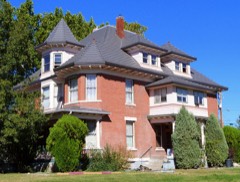 | Thomas C. Galloway House | 0.3 miles | 1978 |
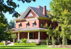 | James M. Fisher House | 0.4 miles | 1986 |
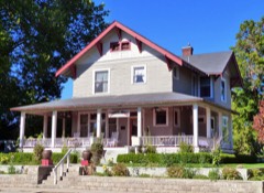 | G. V. Nesbit House | 0.5 miles | 1982 |
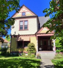 | Benjamin Watlington House | 0.6 miles | 1991 |
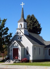 | St. Luke's Episcopal Church | 0.6 miles | 1978 |
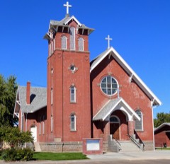 | St. Agnes Catholic Church | 0.6 miles | 1978 |
| National Archives record | The nomination case file for reference 100000958 in Record Group 79. |
| Washington County | All 31 listed properties in this county. |