 Block
From the record
One of 15 National Register listings published here for Payette County · listed in 1978 · category: Building.
Sources: the case file at the National Archives · the National Register database, National Park Service
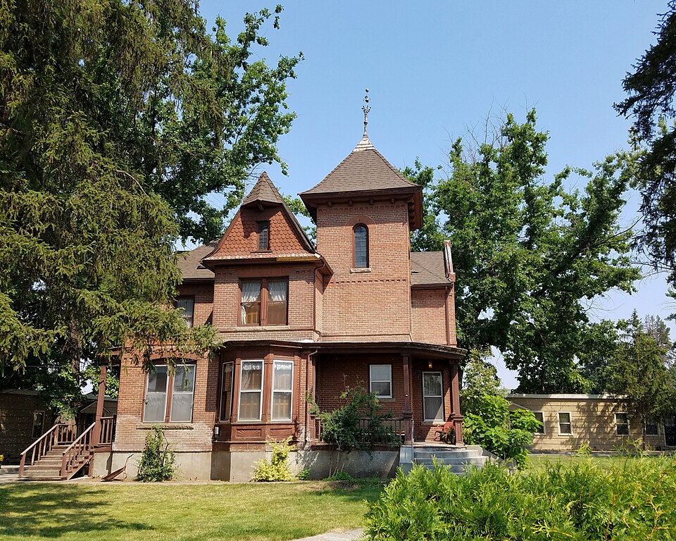
Listed on the National Register of Historic Places in 1978.
One of 15 National Register listings published here for Payette County · listed in 1978 · category: Building.
Sources: the case file at the National Archives · the National Register database, National Park Service
Regional context, not property-specific evidence. The federal wildfire occurrence database lists 5 fires within 5 miles of David C. Chase House between 1995 and 2007, burning about 313 acres in total. 1 started naturally. None was recorded as arson. Distance is straight-line from the map coordinates, so a fire counted here may appear on a neighbouring settlement's page as well.
| Reported cause | Fires |
|---|---|
| Equipment and vehicle use | 2 |
| Debris and open burning | 1 |
| Missing data/not specified/undetermined | 1 |
| Natural | 1 |
The most recent of them, most recent first, with the day each was reported and the service that recorded it.
| Date | Cause | Size | Reported by | Name on the report |
|---|---|---|---|---|
| 1 September 2007 | Natural | 5.0 acres | Boise District | ANNEX |
| 4 August 2006 | Equipment and vehicle use | 39 acres | Boise District | PLAYDOH |
| 21 August 1995 | Missing data/not specified/undetermined | 76 acres | Boise District | CLAY PT. |
| 21 July 2000 | Debris and open burning | 184 acres | Boise District | HOT TRASH |
| 6 June 2001 | Equipment and vehicle use | 9.0 acres | Boise District | MTRCYCLEPK |
Regional context, not property-specific evidence. The federal mineral resources record lists 45 workings within 5 miles of David C. Chase House: 21 past producers, 16 producers, 6 prospects, 2 occurrences. 16 still produce. What was taken out: Sand and Gravel, Construction, Stone, Stone, Crushed/Broken, Clay. Distance is straight-line from the map coordinates, so a quarry counted here may appear on a neighbouring settlement's page as well.
| Where | Site | Commodity | Status | Recorded |
|---|---|---|---|---|
| Jensen Clay Mine | Brick Clay, Kaolin | Past Producer | Illite | |
| Malheur Butte Springs | Geothermal | Occurrence | ||
| Clay, Industrial, Jensen Brick Co | Clay | Past Producer | ||
| Payette | Clay | Occurrence | ||
| Quarry | Stone | Past Producer | ||
| Quarry | Stone | Past Producer | ||
| Unnamed Site | Stone, Crushed/Broken | Producer | ||
| Unnamed Site | Stone, Crushed/Broken | Producer | ||
| Allen Site | Sand and Gravel, Construction | Past Producer | ||
| Allen Site | Sand and Gravel, Construction | Producer |
Regional context, not property-specific evidence. The National Weather Service names Payette, the town this property stands in, in 11 storm reports between 1995 and 2022: 5 thunderstorm wind, 4 hail, 2 flood. No death or injury is recorded in these reports. Each account below is quoted exactly as the forecast office filed it, from the NOAA Storm Events Database, and each date opens the federal record of that event.
| When | Event | Place named | Harm | What the report says |
|---|---|---|---|---|
| June 2010 | Flood | Payette | $1,000,000 | Moderate flooding occured in and around Payette along the Payette River. |
| April 1995 | Thunderstorm Wind | Payette | $500,000 | A large organized area of convection produced winds in excess of 60 mph from Rome, Oregon to Payette, Idaho, a storm path of over 130 miles with a width of up to 100 miles, from Baker City, Oregon to just northwest of Boise, with reports being received over a four hour period. The storm displayed characteristics of a large bow echo, which is not commonly observed west of the Continental Divide. Winds were measured over 60 mph at a number of locations, and trees were knocked over causing blackouts and damaging homes. |
| June 2022 | Hail | Payette | - | A spotter reported quarter size hail. |
| June 2022 | Hail | Payette | - | A member of the public posted a photo of this hail on Facebook. |
| May 2014 | Thunderstorm Wind | Payette | - | The Emergency Manager command post reported wind damage and power outages across Payette County due to thunderstorm outflow winds out of the southeast. |
| April 2012 | Flood | Payette | - | A National Weather Service employee surveyed the Payette River near Payette and observed the river was out of bank and flooding fields and homes along State Highway 52. |
| May 2009 | Hail | Payette | - | A trained spotter 1.5 miles west of Payette reported one inch hail. |
| May 1997 | Thunderstorm Wind | Payette | - | Winds generated by a severe thunderstorm ripped the roof off of a trailer home in Payette, Idaho. |
| July 1995 | Hail | Payette | - | Severe thunderstorms brought gusty winds to Boise causing some minor damage. Trees three-to four-feet in diameter were broken in two pieces. In Challis tree limbs were broken off while in Salmon and Arco sheds were mangled. In Soda Springs high winds toppled a tree and in Emmett fallen trees smashed a car. A house in Blackfoot was struck by lightning and a fire was started only causing minor damage. In McCall a man was struck and killed by lightning at a rodeo. Twelve others were injured by the strike. ILLINOIS, Northeast |
| July 2002 | Thunderstorm Wind | Payette | - | no account filed |
| July 1997 | Thunderstorm Wind | Payette | - | no account filed |
No historic map-sheet match is published for this property yet. That does not mean no map exists. This record needs a coordinate-quality review before it can be joined to a sheet boundary. Browse the county's mapped places while that work is pending.
Other National Register properties close enough to walk or drive between, ordered by distance from this one. Both positions come from the same geocoding pass that matched these properties to their map sheets.
| Photograph | Property | Distance | Listed |
|---|---|---|---|
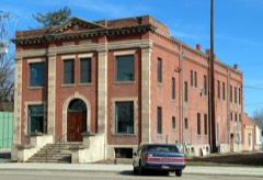 | Payette City Hall and Courthouse | under 500 feet | 1979 |
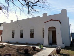 | Portia Club | under 500 feet | 2010 |
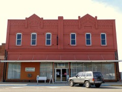 | A. B. Moss Building | 0.1 miles | 1978 |
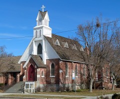 | St. James Episcopal Church | 0.2 miles | 1978 |
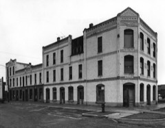 | Coughanour Apartment Block | 0.2 miles | 1978 |
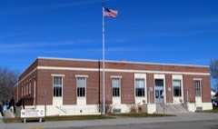 | US Post Office-Payette Main | 0.2 miles | 1989 |
| National Archives record | The nomination case file for reference 78001091 in Record Group 79. |
| Payette County | All 15 listed properties in this county. |