 Block
From the record
One of 13 National Register listings published here for Gooding County · listed in 1980 · category: Building.
Sources: the case file at the National Archives · the National Register database, National Park Service
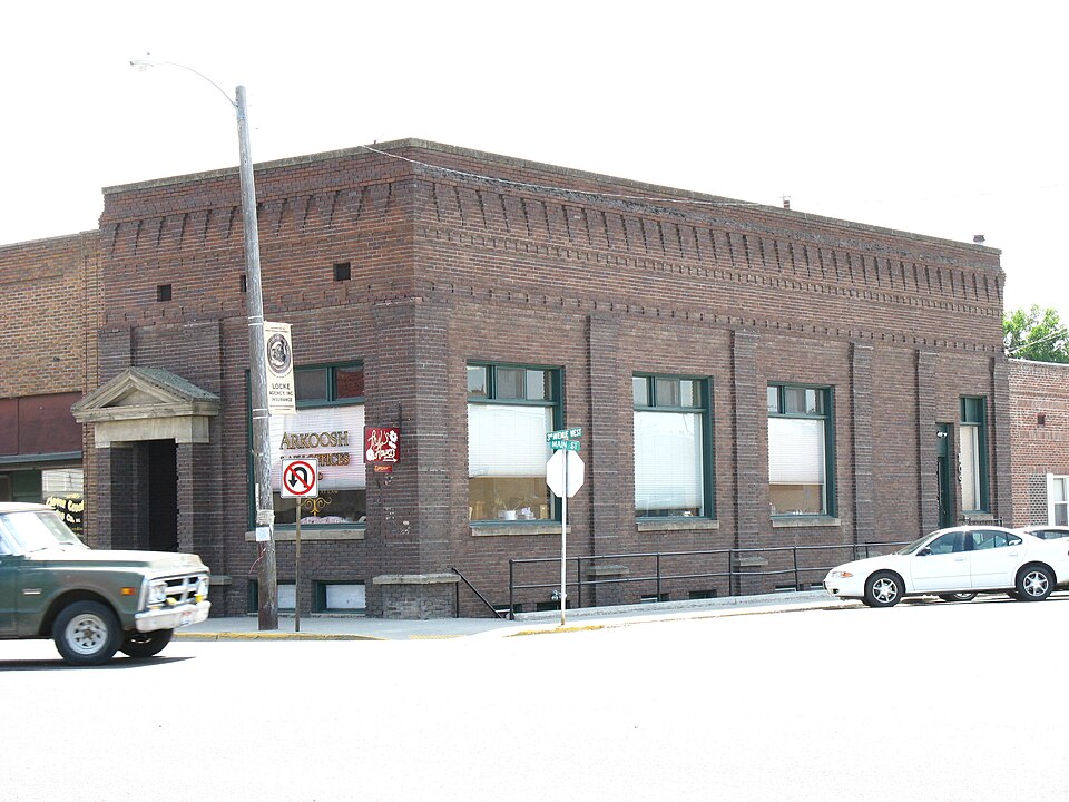
Listed on the National Register of Historic Places in 1980.
One of 13 National Register listings published here for Gooding County · listed in 1980 · category: Building.
Sources: the case file at the National Archives · the National Register database, National Park Service
Regional context, not property-specific evidence. The federal wildfire occurrence database lists 26 fires within 5 miles of Citizens State Bank between 1996 and 2020, burning about 1,799 acres in total. 5 started naturally. None was recorded as arson. Distance is straight-line from the map coordinates, so a fire counted here may appear on a neighbouring settlement's page as well.
| Reported cause | Fires |
|---|---|
| Equipment and vehicle use | 7 |
| Missing data/not specified/undetermined | 7 |
| Natural | 5 |
| Debris and open burning | 3 |
| Fireworks | 2 |
| Smoking | 1 |
| Firearms and explosives use | 1 |
The most recent of them, most recent first, with the day each was reported and the service that recorded it.
| Date | Cause | Size | Reported by | Name on the report |
|---|---|---|---|---|
| 7 September 2020 | Missing data/not specified/undetermined | 75 acres | Gooding County | RURAL ASSIST 3 |
| 27 September 2000 | Debris and open burning | under an acre | Twin Falls District | SHOESTNG |
| 2 September 2011 | Equipment and vehicle use | 190 acres | Twin Falls District | SHOESTRING EAST |
| 19 September 1996 | Debris and open burning | 186 acres | Twin Falls District | GOODING |
| 10 September 2017 | Missing data/not specified/undetermined | under an acre | Twin Falls District | MALAD RIVER |
| 3 August 1999 | Natural | under an acre | Twin Falls District | POWERLINE |
| 3 August 1999 | Natural | 1.0 acres | Twin Falls District | 4SGOODING |
| 28 August 2008 | Equipment and vehicle use | 13 acres | Twin Falls District | SHOESTRING II |
Regional context, not property-specific evidence. The federal mineral resources record lists 4 workings within 5 miles of Citizens State Bank: 1 occurrence, 1 past producer, 1 unknown, 1 producer. 1 still produces. What was taken out: Sand and Gravel, Construction, Volcanic Materials. Distance is straight-line from the map coordinates, so a quarry counted here may appear on a neighbouring settlement's page as well.
| Where | Site | Commodity | Status | Recorded |
|---|---|---|---|---|
| Cinder Deposit | Volcanic Materials | Occurrence | Cinders | |
| Cinder Pit | Sand and Gravel, Construction | Unknown | ||
| Gravel Pit | Sand and Gravel, Construction | Past Producer | ||
| Gravel Pit | Sand and Gravel, Construction | Producer |
Regional context, not property-specific evidence. The National Weather Service names Gooding, the town this property stands in, in 15 storm reports between 1996 and 2020: 6 thunderstorm wind, 5 hail, 2 heavy rain, 2 flood. No death or injury is recorded in these reports. Each account below is quoted exactly as the forecast office filed it, from the NOAA Storm Events Database, and each date opens the federal record of that event.
| When | Event | Place named | Harm | What the report says |
|---|---|---|---|---|
| April 2017 | Flood | Gooding | $250,000 | The combination of rain and melting of near record snowpack in the Big Wood Basin led to significant flooding along the Big Wood River. Magic Reservoir filled to capacity sending large flows over the spillway and downriver through Gooding County. Extensive flooding of agricultural land occurred and several county roads were inundated with water. Just north of Gooding, portions of County Road 1700 South, 1800 East, and 1950 East were inundated with water and damaged. A few homes and businesses near the river were surrounded by water. Lowland flooding and damage to county roads occurred in the county well downstream from Gooding. |
| May 2017 | Flood | Gooding | $100,000 | Rapid snowmelt in the high elevations of the Big Wood Basin sent high flows over the spillway of Magic Reservoir causing flooding downstream in Gooding County. Agricultural land and low lying roads were impacted by the high water around the town of Gooding. |
| June 1998 | Hail | Gooding | $2,000 | no account filed |
| April 2020 | Thunderstorm Wind | Gooding | - | The ITD mesonet site north of Gooding recorded a wind gust of 64 MPH with reports of wind damage around the area. |
| May 2020 | Thunderstorm Wind | Gooding | - | A 12 foot diameter Poplar tree was uprooted in Gooding. |
| June 2017 | Thunderstorm Wind | Gooding | - | The local newspaper reported several trees and power lines down around Gooding. |
| August 2014 | Hail | Gooding | - | A trained spotter reported quarter sized hail, water running through his shop and downed branches in his yard measuring around 2,5 inches. |
| August 2009 | Hail | Gooding | - | A trained spotter near Gooding, Idaho reported golf ball sized hail. |
| April 2002 | Thunderstorm Wind | Gooding | - | A trained storm spotter reported that severe thunderstorm winds destroyed a 20-foot tall by 15-foot wide granary in Gooding. |
| April 2006 | Hail | Gooding | - | no account filed |
| June 2002 | Thunderstorm Wind | Gooding | - | no account filed |
| May 1998 | Hail | Gooding | - | no account filed |
| May 1996 | Heavy Rain | Gooding | - | no account filed |
| May 1996 | Heavy Rain | Gooding | - | no account filed |
| June 1996 | Thunderstorm Wind | Gooding | - | no account filed |
No historic map-sheet match is published for this property yet. That does not mean no map exists. This record needs a coordinate-quality review before it can be joined to a sheet boundary. Browse the county's mapped places while that work is pending.
Other National Register properties close enough to walk or drive between, ordered by distance from this one. Both positions come from the same geocoding pass that matched these properties to their map sheets.
| Photograph | Property | Distance | Listed |
|---|---|---|---|
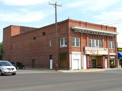 | Schubert Theatre | under 500 feet | 2004 |
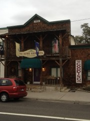 | Kelly's Hotel | 0.1 miles | 1985 |
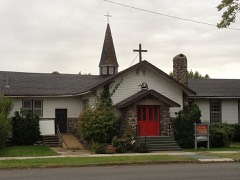 | Trinity Episcopal Church | 0.3 miles | 1982 |
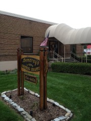 | Thompson Mortuary Chapel | 0.3 miles | 1982 |
| Gooding College Campus | 1.4 miles | 1983 |
| National Archives record | The nomination case file for reference 80001328 in Record Group 79. |
| Gooding County | All 13 listed properties in this county. |