 Block
From the record
One of 23 National Register listings published here for Elmore County · listed in 1982 · category: Building.
Sources: the case file at the National Archives · the National Register database, National Park Service
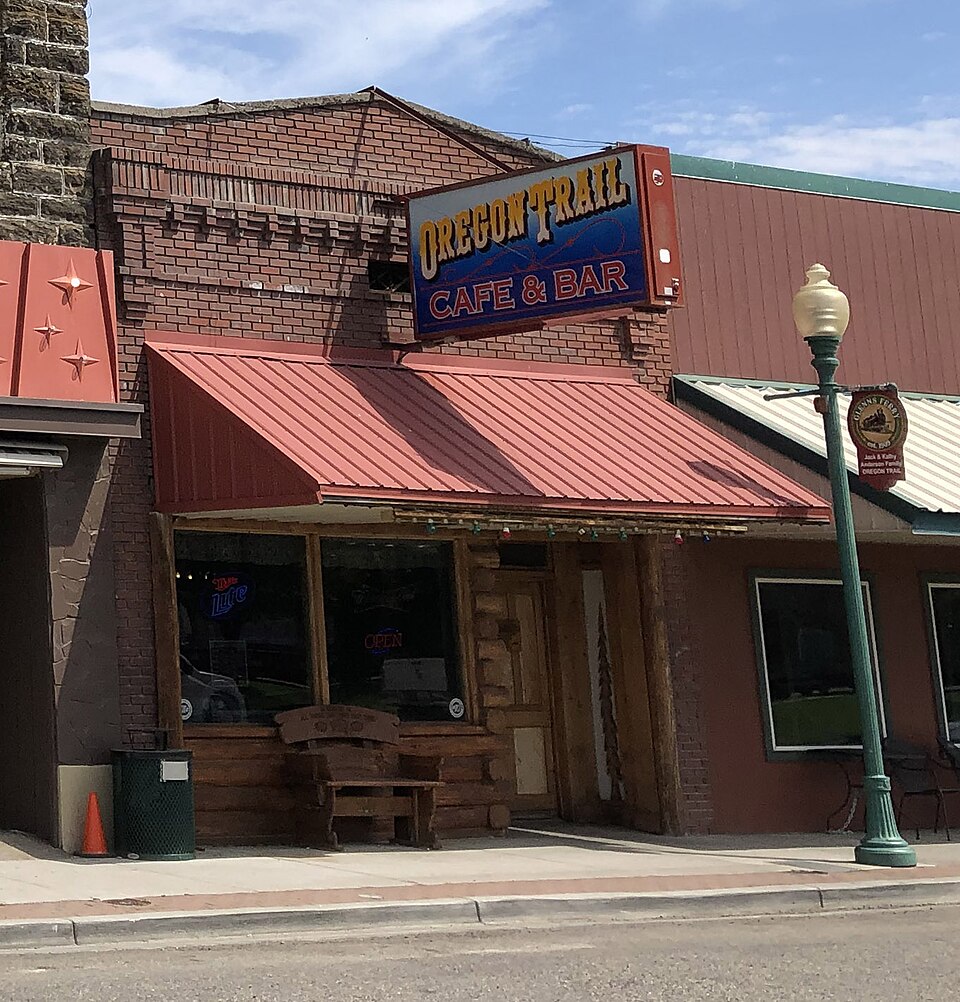
Listed on the National Register of Historic Places in 1982.
One of 23 National Register listings published here for Elmore County · listed in 1982 · category: Building.
Sources: the case file at the National Archives · the National Register database, National Park Service
Regional context, not property-specific evidence. The federal wildfire occurrence database lists 68 fires within 5 miles of O'Neill Brothers Building between 1993 and 2020, burning about 45,719 acres in total. 10 started naturally. None was recorded as arson. Distance is straight-line from the map coordinates, so a fire counted here may appear on a neighbouring settlement's page as well.
| Reported cause | Fires |
|---|---|
| Missing data/not specified/undetermined | 25 |
| Equipment and vehicle use | 15 |
| Power generation/transmission/distribution | 13 |
| Natural | 10 |
| Debris and open burning | 3 |
| Fireworks | 1 |
| Railroad operations and maintenance | 1 |
The most recent of them, most recent first, with the day each was reported and the service that recorded it.
| Date | Cause | Size | Reported by | Name on the report |
|---|---|---|---|---|
| 9 September 2005 | Debris and open burning | 160 acres | Boise District | THEDUMP |
| 9 September 1995 | Power generation/transmission/distribution | 1.0 acres | Boise District | LIT.CANYON |
| 8 September 2004 | Equipment and vehicle use | 79 acres | Boise District | MUNICEM |
| 5 September 2011 | Missing data/not specified/undetermined | 1.0 acres | Boise District | MM118 I84 |
| 23 September 2020 | Missing data/not specified/undetermined | 3.0 acres | Elmore County | RURAL ASSIST 4 |
| 23 September 1999 | Railroad operations and maintenance | 4.0 acres | Boise District | EXIT 120 |
| 22 September 1996 | Equipment and vehicle use | 1,754 acres | Boise District | ROSEVEAR |
| 2 September 1999 | Power generation/transmission/distribution | 232 acres | Boise District | I 84 MP117 |
Regional context, not property-specific evidence. The federal mineral resources record lists 13 workings within 5 miles of O'Neill Brothers Building: 5 occurrences, 4 past producers, 2 producers, 2 prospects. 2 still produce. What was taken out: Diatomite, Sand and Gravel, Construction, Gold, Geothermal. Distance is straight-line from the map coordinates, so a quarry counted here may appear on a neighbouring settlement's page as well.
| Where | Site | Commodity | Status | Recorded |
|---|---|---|---|---|
| Snake River Placer | Gold, Titanium, Platinum | Past Producer | Stream Placer | |
| Campinland | Geothermal | Prospect | ||
| Dodge Pit | Sand and Gravel, Construction | Producer | ||
| Geothermal Location | Geothermal | Occurrence | ||
| Sand Bank | Sand and Gravel, Construction | Past Producer | ||
| Snake River Placers | Gold | Past Producer | 1862 | |
| Snake River Placers | Gold | Past Producer | 1862 | |
| State Pit El 109 | Sand and Gravel, Construction | Producer | ||
| Stevens | Geothermal | Prospect | ||
| Diatomite Deposit | Diatomite | Occurrence | Sedimentary |
Regional context, not property-specific evidence. The National Weather Service names Glenns Ferry, the town this property stands in, in 13 storm reports between 1998 and 2024: 5 thunderstorm wind, 4 hail, 1 funnel cloud, 1 flash flood. No death or injury is recorded in these reports. Each account below is quoted exactly as the forecast office filed it, from the NOAA Storm Events Database, and each date opens the federal record of that event.
| When | Event | Place named | Harm | What the report says |
|---|---|---|---|---|
| January 2011 | Flood | Glenns Ferry | $25,000 | Minor flooding was reported in Glenns Ferry by the Elmore County Sheriff's Department dispatch. A portion of a railway line was washed out and four homes were evacuated. |
| January 2024 | Thunderstorm Wind | Glenns Ferry | - | Power outages were reported for nearly 33 customers near Mountain Home due to wind gusts bringing power poles. |
| July 2024 | Tornado (EF0) | Glenns Ferry | - | Broadcast media and social media provided videos show a weak EF-0 land spout tornado on the ground in Glenns Ferry, with a path along and just north of E. Harrison Ave. Elmore County Emergency Management and general public reports, along with photos of roof damage, several downed trees, downed branches, and damage to power lines are consistent with EF-0 wind speeds of 70 to 80 mph. The tornado had a path length of approximately 0.3 miles and a path width of approximately 30 yards. |
| June 2021 | Thunderstorm Wind | Glenns Ferry | - | The public reported a 62 MPH thunderstorm wind gust 9 miles south of Glenns Ferry using a Davis weather station. |
| August 2013 | Hail | Glenns Ferry | - | Local media reported Quarter sized hail aound the Glenns Ferry area. |
| August 2010 | Thunderstorm Wind | Glenns Ferry | - | Heavy rain with strong winds, including power outages and downed tree limbs, were reported by a trained spotter and the public. |
| June 2009 | Flash Flood | Glenns Ferry | - | Three to five inches of water on several area roads were reported by a local law enforcement officer. |
| October 2006 | Hail | Glenns Ferry | - | TV photographer took pictures of hail and placed them on website. Hail fell over a 2 mile stretch of Interstate 84 from Mile Marker 133 to Mile Marker 135. |
| April 2002 | Thunderstorm Wind | Glenns Ferry | - | A trained storm spotter reported 50 to 60 MPH thunderstorm winds and minor street flooding in Glenns Ferry, Elmore County. |
| July 1998 | Funnel Cloud | Glenns Ferry | - | A spotter reported a brief funnel cloud near Glenns Ferry. The Funnel Cloud lasted only a minute or so. |
| June 2002 | Thunderstorm Wind | Glenns Ferry | - | no account filed |
| January 1998 | Hail | Glenns Ferry | - | no account filed |
| July 1998 | Hail | Glenns Ferry | - | no account filed |
No historic map-sheet match is published for this property yet. That does not mean no map exists. This record needs a coordinate-quality review before it can be joined to a sheet boundary. Browse the county's mapped places while that work is pending.
Other National Register properties close enough to walk or drive between, ordered by distance from this one. Both positions come from the same geocoding pass that matched these properties to their map sheets.
| Photograph | Property | Distance | Listed |
|---|---|---|---|
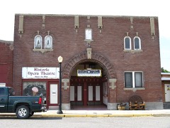 | Gorby Opera Theater | under 500 feet | 1982 |
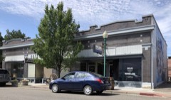 | J. S. McGinnis Building | under 500 feet | 1982 |
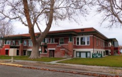 | Amustutz Apartments | 0.2 miles | 1982 |
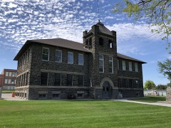 | Glenns Ferry School | 0.3 miles | 1984 |
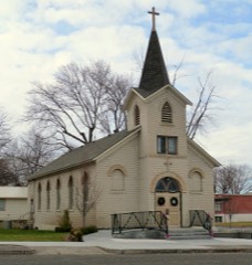 | Our Lady of Limerick Catholic Church | 0.3 miles | 1982 |
| National Archives record | The nomination case file for reference 82000342 in Record Group 79. |
| Elmore County | All 23 listed properties in this county. |