 Block
Addison, Illinois
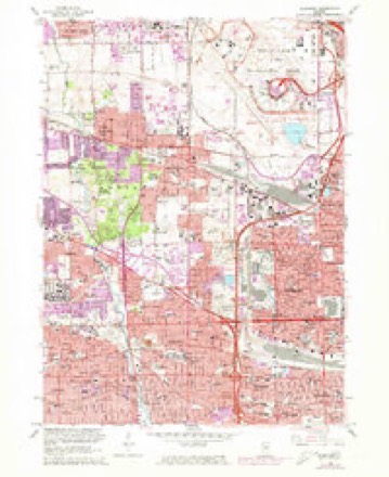
23 topographic sheets cover this place, the earliest surveyed in 1891 and the latest in 1997. It stands in Addison Township. It lies in ZIP code area 60101. The Survey maps it on the Elmhurst quadrangle. 35,702 people lived here at the 2020 count.
Population over time
2 figuresAddison fell from 36,942 to 35,702 between 2010 and 2020. These are the recorded population figures Wikidata holds for this place, reached through the Geographic Names Information System number this page is keyed on rather than by name, so they belong to this place and not to another of the same name. Most are census counts, but not all are: an early figure may be a founding or settlement estimate, and an estimate published within five years of a census is left out. The change column is computed, and is left blank where more than 20 years separate a figure from the one before it, because a gap that long is not a change between two counts.
| Year | People | Change |
|---|---|---|
| 2010 | 36,942 | |
| 2020 | 35,702 | -1,240 (-3%) |
Topographic sheets covering this place
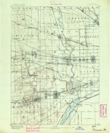
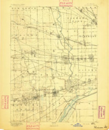
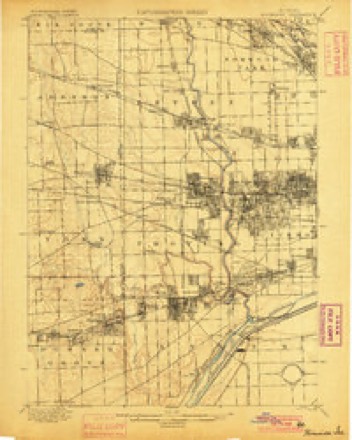
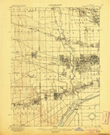
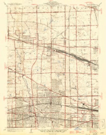
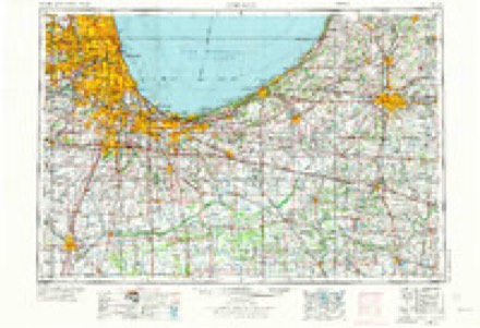
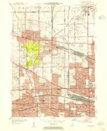
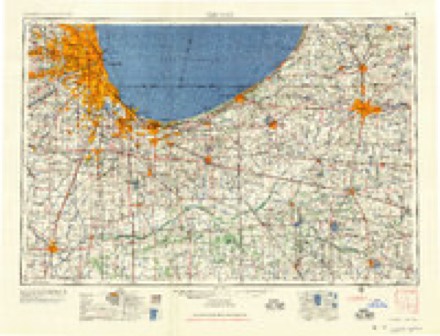
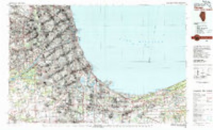
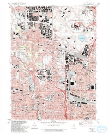
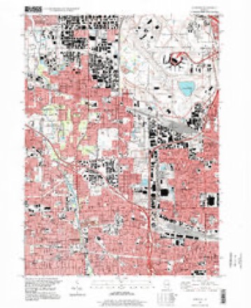
12 surveys from 23 printed sheetsMatched by testing this settlement's coordinate against the published boundary of every sheet in the United States Geological Survey's historical collection. Each opens the scanned sheet at the Survey.
- 1891 USGS Riverside quadrangle1:62500
- 1893 USGS Riverside quadrangle1:62500
- 1900 USGS Riverside quadrangle1:62500
- 1901 USGS Riverside quadrangle1:62500, 4 printings
- 1928 USGS Elmhurst quadrangle1:24000, 3 printings
- 1953 USGS Chicago quadrangle1:250000, 5 printings
- 1953 USGS Elmhurst quadrangle1:24000
- 1957 USGS Chicago quadrangle1:250000
- 1963 USGS Elmhurst quadrangle1:24000, 3 printings
- 1980 USGS Chicago quadrangle1:100000
- 1993 USGS Elmhurst quadrangle1:24000
- 1997 USGS Elmhurst quadrangle1:24000
In the county-history sources
2,385 words on this townshipHistory Of Dupage County (1857), published 1857 names this settlement in its chapter on Addison Township. These are the passages that mention it, exactly as the scans read.
Tur settlement of this town began in 1834. The first inhabitants were Ebenezer Duncklee and Hezekiah Duncklee, from Hillsborough, N. H., and Mason Smith, from Potsdam, N. Y. They left Potsdam on the 13th of August, 1833, and arrived at Chicago on the 3d of September, traveling by land across Michigan and Northern Indiana. Leaving Chicago on the 8th of September, they followed the trail of Gen. Scott's army, which had preceded them, to the Des Plaines river, where they camped for the night, near a party of 300 Indians. On the following day, they proceeded along the trail as far as the south line of Addison. Here they found a grave, which was supposed to be that of a soldier in Gen. Scott's army. The grave was on the west bank of Salt creek. On the opposite bank, near what is now called Grey's grove, were the remains of the army encampment. Some of the tent posts were still standing. Upon examination, it was found that the waters of the creek were not salt, as they had supposed. The stream received its name from this circumstance: A hoosier team, loaded with salt, became " stalled" while fording it, and the driver was obliged to lighten his load by rolling several barrels into the water. The party left the creek at 5 o'clock, and pursued the trail. Soon after dark they discovered a light, which seemed at no great distance. One of the company set out in advance, hoping to reach it, but after making a circuit through the tall prairie grass, he came upon his comrades near the place from which he started - - and the party camped for the night among the prairie grass and flowers. Their slumbers were somewhat disturbed by the prairie wolves, which howled most hideously about them during a greater part of the night; but wearied by their long marches, they rested full as well as could be expected under the circumstances. On the following day they reached Meacham's grove, where they found three settlers by the name of Meacham. Here they obtained some instruction in the arts of border life. They learned how to make their claims, how to construct cabins, and how to manufacture their beds. From this place they proceeded to Elk grove, and thence along the west bank of Salt creek to Duncklee's grove, and camped for the night on the spot where the house of H. D. Fisher now stands.
Passage source: History Of Dupage County (1857), published 1857.
This list, imperfect as it is, shows a large loss for a small neighborhood in a rural district, and nearly all within the delivery of the Sagone post office, in the town of Addison. The south margin of the storm passed over Dunlap's nursery, in the town of Leyden, injuring the young grafts and knocking off fruit from the specimen grounds, which is to be regretted, as many varieties were fruiting for the first time, by which their correctness of nomenclature would have been decided. Such large quantities of decaying vegetable matter, now sweltering in a summer sun, cannot have otherwise than a deleterious effect on the health of families residing on this track of desolation."
Passage source: History Of Dupage County (1857), published 1857.
Machine-read from a century-old scan, so expect the errors a machine makes: misspelled names, dropped words, stray characters.
Read the whole chapter on Addison Township - it names this place 2 more 2 times.
Mines and quarries near this place
6 within 5 milesRegional context, not property-specific evidence. The federal mineral resources record lists 6 workings within 5 miles of Addison: 5 past producers, 1 producer. 1 still produces. What was taken out: Stone, Crushed/Broken, Sand and Gravel, Construction, Stone. Distance is straight-line from the map coordinates, so a quarry counted here may appear on a neighbouring settlement's page as well.
| Where | Site | Commodity | Status | Recorded |
|---|---|---|---|---|
| Village of Lombard Pit | Stone | Past Producer | ||
| Ajax Pit | Sand and Gravel, Construction | Past Producer | ||
| Curtis S&G Pit | Sand and Gravel, Construction | Past Producer | ||
| Elmhurst Portable Plant #1 | Stone, Crushed/Broken | Past Producer | ||
| Elmhurst Underground No. 1 | Stone, Crushed/Broken | Producer | ||
| Northlake City Eng. - Own Crews | Stone, Crushed/Broken | Past Producer |
Storms near this place
20 since 2006Regional context, not property-specific evidence. The National Weather Service names Addison in 20 storm reports between 2006 and 2025: 12 thunderstorm wind, 4 flood, 2 hail, 1 flash flood. No death or injury is recorded in these reports. Each account below is quoted exactly as the forecast office filed it, from the NOAA Storm Events Database, and each date opens the federal record of that event.
| When | Event | Place named | Harm | What the report says |
|---|---|---|---|---|
| August 2008 | Thunderstorm Wind | Addison | $150,000 | Apartment buildings suffered roof damage. Two houses were damaged by fallen trees and one multi-family house had it's roof completely torn off. |
| July 2025 | Thunderstorm Wind | Addison | - | Wind gusts were estimated to 60 mph. |
| July 2024 | Thunderstorm Wind | Addison | - | Large tree limbs and small trees were blown down. |
| March 2023 | Thunderstorm Wind | Addison | - | An NWS storm survey confirmed that a swath of damage across the south and east sides of Addison was caused by strong straight-line winds of up to approximately 85 mph. These straight-line winds occurred to the immediate south and east of the EF-1 tornado that tracked from Lombard into Addison. Damage included roofing material peeled off of office buildings and an apartment complex, a semi truck blown over on I-290, and damage to sound barriers along I-290. |
| July 2023 | Thunderstorm Wind | Addison | - | Two trees were blown over in Addison. |
| June 2021 | Thunderstorm Wind | Addison | - | The roof and gutter of a house were damaged by a fallen tree. Numerous tree limbs were blown down nearby. |
| June 2021 | Tornado (EF0) | Addison | - | Based on an eyewitness account and damage seen during an NWS storm survey, it was determined a brief tornado with peak winds of 70 mph touched down at the intersection of Lake Street and Villa Avenue. The tornado was on the ground for less than one minute and produced sporadic tree damage along its track. A gazebo was lifted and flipped over a fence. The tornado ended near McNair Avenue. |
| May 2020 | Flood | South Addison | - | Flood waters at least one foot deep were reported on residential streets in Villa Park. |
| June 2019 | Thunderstorm Wind | South Addison | - | Multiple four inch diameter tree limbs were blown down. |
| September 2018 | Thunderstorm Wind | South Addison | - | An eight inch tree limb was blown down near St. Charles Street and Villa Avenue. |
| August 2018 | Flood | South Addison | - | Route 83 was flooded under the railroad tracks between North Avenue and St. Charles Road. The Palmer Drive viaduct was also flooded under the railroad tracks. |
| June 2016 | Flash Flood | South Addison | - | Route 83 closed due to flooding just south of North Avenue. |
| March 2011 | Flood | Addison | - | Portions of the Salt Creek Greenway Trail were flooded between Route 83 and Villa Avenue. |
| July 2008 | Thunderstorm Wind | Addison | - | A tree was blown down. |
| June 2007 | Flood | Addison | - | Street flooding reported at Vista and Fullerton. |
| December 2007 | Thunderstorm Wind | Addison | - | A tree was blown down on a house. |
| July 2012 | Thunderstorm Wind | Addison | - | no account filed |
| June 2010 | Thunderstorm Wind | Addison | - | no account filed |
| April 2007 | Hail | Addison | - | no account filed |
| October 2006 | Hail | Addison | - | no account filed |
Nearest settlements
The eight closest, with where each one stands in the county. Distances are straight-line, computed from the Geographic Names Information System coordinates.
| Map | Place | Distance | Sheets |
|---|---|---|---|
| South Addison | 1.8 miles | 23 | |
| Churchville | 1.9 miles | 23 | |
| Wood Dale | 2.2 miles | 23 | |
| Villa Park | 2.9 miles | 23 | |
| Swift | 2.9 miles | 19 | |
| Bensenville | 3.1 miles | 23 | |
| Itasca | 3.1 miles | 19 | |
| Elmhurst | 3.4 miles | 23 |
Elsewhere
Matched on this settlement's Geographic Names Information System number rather than its name, so it cannot be a different place of the same name in another state.
| Wikipedia article on Addison | An encyclopaedic summary. Its text is share-alike, so it is linked here rather than copied. |
| Wikidata item Q353080 | The structured record the population and elevation above come from. Public domain (CC0). |
Provenance
This settlement is recorded in the Geographic Names Information System as feature 421692. The sheet list is computed by point-in-boundary test against the United States Geological Survey's historical topographic inventory. Both are works of the United States government and carry no copyright under 17 U.S.C. 105.
Mines and quarries. USGS Mineral Resources Data System (MRDS) https://mrdata.usgs.gov/mrds/ A work of the United States government, no copyright under 17 U.S.C. 105.
Storms. NOAA National Centers for Environmental Information, Storm Events Database https://www.ncei.noaa.gov/stormevents/ A work of the United States government, no copyright under 17 U.S.C. 105. Narratives are quoted verbatim from the National Weather Service report and are not edited or summarised.