 Block
Anderson, Illinois
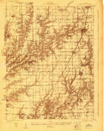
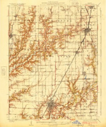
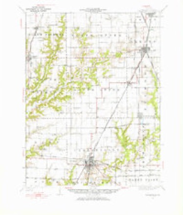
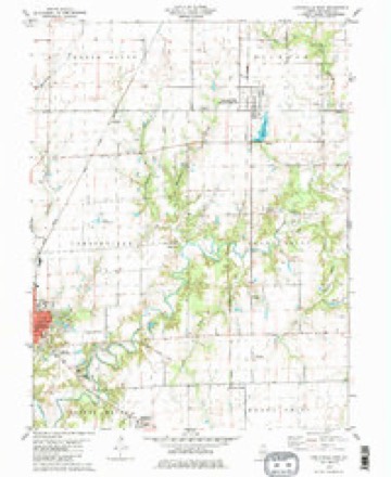
14 topographic sheets cover this place, the earliest surveyed in 1923 and the latest in 1982. It stands in Carlinville Township. It lies in ZIP code area 62626. The Survey maps it on the Carlinville East quadrangle.
Topographic sheets covering this place
7 surveys from 14 printed sheetsMatched by testing this settlement's coordinate against the published boundary of every sheet in the United States Geological Survey's historical collection. Each opens the scanned sheet at the Survey.
- 1923 USGS Carlinville quadrangle1:48000
- 1925 USGS Carlinville quadrangle1:62500, 2 printings
- 1931 USGS Carlinville quadrangle1:62500, 3 printings
- 1958 USGS Decatur quadrangle1:250000, 3 printings
- 1961 USGS Decatur quadrangle1:250000, 2 printings
- 1979 USGS Carlinville East quadrangle1:24000, 2 printings
- 1982 USGS Litchfield quadrangle1:100000


In the county-history sources
9,926 words on this townshipHistory of Macoupin County, Illinois : Biographical and Pictorial, published 1911 names this settlement in its chapter on Carlinville Township. These are the passages that mention it, exactly as the scans read.
In December, 1869, Carlinville took on metropolitan airs by lighting its streets, stores and residences by artificial gas. An incorporated company built a plant at the corner of Mulberry and Locust streets. The concern was capitalized at $31,- ooo and had for its first officers : Charles W. Weer, president ; Samuel B. Dugger, secretary ; John T. Rogers, treasurer. The board of directors was made up of Dr. John Logan, William Farrell, Charles W. Weer, Morris Hezel and Henry Daley. Eventually the majority of the stock found its way into the possession of C. H. C. Anderson, who became its president and treasurer and after his death, in the settlement of his estate, the property was turned over to a daughter, Mrs. W. L. Mounts. This occurred in 1888. The concern continued in operation from this time to 1890 as the Carlinville Gas Light & Coke Company, when the charter was surrendered. That year, W. L. Mounts, as an official of the company, bought the Brush Electric Light plant and merged the two lighting concerns into the Carlinville Gas & Electric Light Works, as a private institution. This condition prevailed until December 31, 1909, when the Carlinville Utilities Company was incorporated and these properties were turned over to the corporation.
Passage source: History of Macoupin County, Illinois : Biographical and Pictorial, published 1911.
On December 15, 1868, a number of the citizens of Carlinville, H. M. Kimball, D. W. Dresser, A. S. Ruark, F. L. Matthews, Nicholas Dubois, A. M. Barker and others, met to agree upon plans for the organization of a public library. They had on hand more than $100 in cash and more than two-thirds of the subscribers to this fund were present. They chose T. L. Loomis chairman, who appointed J. G. Koester and W. H. Steward a committee to devise and report upon plans for the formation of a library association. The result of this committee's labors was the perfecting of the organization and the acceptance of its title - the Carlinville Library Association. W. R. Welch, D. W. Dresser and A. C. Rafferty were elected trustees. For some time after the creation of the association the few books then collected were kept in a small room where the Koester building now stands, on East Main street. Officers were elected on December 30, 1869. Miss Bettie Robertson was chosen president. No record of the proceedings of their meetings has been found. Under the first organization meager funds were secured through mite societies, and much of the business of the association was transacted in the room above mentioned. Many of the homes of the early workers, however, were open to these meetings. George Holliday, A. S. Ruark, C. A. Walker, A. M. Dubois, J. L. Plain, J. I. Rinaker, W. R. Welch, J. B. Listen, N. Boice, J. G. Koester, C. H. C. Anderson and Dr. J. P. Matthews were at the head of these homes. Subsequently a permanent place of meeting was obtained in the northwest room in the court house basement. The first meeting was held here March 5, 1870, and on the I7th of the same month, the library was thrown open to the public from 2 to 5 P. M. This room was donated to the association by the board of supervisors. In a few years two larger rooms were secured in the basement of the court house, both of which are now filled, with a large and well selected list of books.
Passage source: History of Macoupin County, Illinois : Biographical and Pictorial, published 1911.
The permanent organization of the library association was effected February ii, 1871, with the election of the following officers: President, Mrs. A. M. Dubois; vice president,, Mrs. 'M. J. Anderson; recording secretary, Miss Lizzie Corn ; corresponding secretary, Nicholas Dubois ; treasurer, Miss Sue Uhl ; and trustees, A. S. Ruark, S. T. Corn, and A. M. Barker.
Passage source: History of Macoupin County, Illinois : Biographical and Pictorial, published 1911.
Machine-read from a century-old scan, so expect the errors a machine makes: misspelled names, dropped words, stray characters.
Read the whole chapter on Carlinville Township - it names this place 11 more 11 times.
Mines and quarries near this place
3 within 5 milesRegional context, not property-specific evidence. The federal mineral resources record lists 3 workings within 5 miles of Anderson: 2 past producers, 1 prospect. None of them still produces. What was taken out: Stone, Sand and Gravel, Construction, Clay. Distance is straight-line from the map coordinates, so a quarry counted here may appear on a neighbouring settlement's page as well.
| Where | Site | Commodity | Status | Recorded |
|---|---|---|---|---|
| Macoupin County Pit | Stone | Past Producer | ||
| Shelby Sand & Gravel Pit | Sand and Gravel, Construction | Past Producer | ||
| Shelbyville Shale Exposure | Clay | Prospect |
Nearest settlements
The eight closest, with where each one stands in the county. Distances are straight-line, computed from the Geographic Names Information System coordinates.
| Map | Place | Distance | Sheets |
|---|---|---|---|
| Standard City | 3.1 miles | 14 | |
| Schoper | 3.2 miles | 14 | |
| Nilwood | 4.2 miles | 14 | |
| Carlinville | 4.8 miles | 14 | |
| Womac | 5.8 miles | 14 | |
| Greenridge | 5.9 miles | 14 | |
| McVey | 6.1 miles | 12 | |
| Atwater | 6.4 miles | 10 |
Provenance
This settlement is recorded in the Geographic Names Information System as feature 422409. The sheet list is computed by point-in-boundary test against the United States Geological Survey's historical topographic inventory. Both are works of the United States government and carry no copyright under 17 U.S.C. 105.
Mines and quarries. USGS Mineral Resources Data System (MRDS) https://mrdata.usgs.gov/mrds/ A work of the United States government, no copyright under 17 U.S.C. 105.