 Block
Womac, Illinois
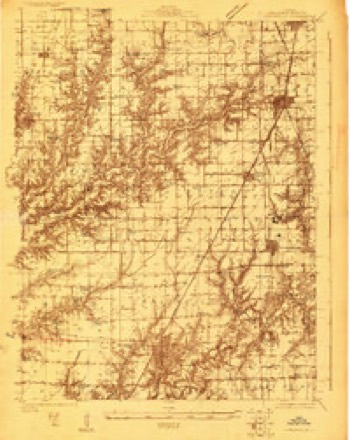
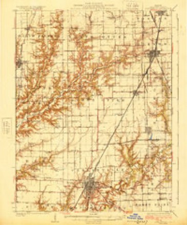
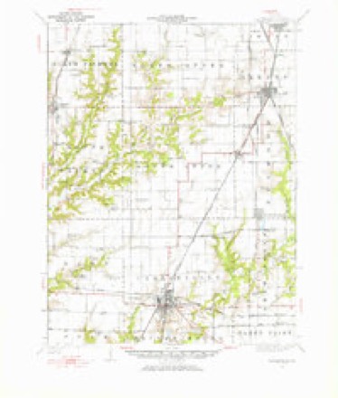
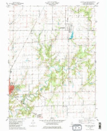
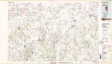
14 topographic sheets cover this place, the earliest surveyed in 1923 and the latest in 1982. It stands in Shaws Point Township. It lies in ZIP code area 62626. The Survey maps it on the Carlinville East quadrangle.
Topographic sheets covering this place
7 surveys from 14 printed sheetsMatched by testing this settlement's coordinate against the published boundary of every sheet in the United States Geological Survey's historical collection. Each opens the scanned sheet at the Survey.
- 1923 USGS Carlinville quadrangle1:48000
- 1925 USGS Carlinville quadrangle1:62500, 2 printings
- 1931 USGS Carlinville quadrangle1:62500, 3 printings
- 1958 USGS Decatur quadrangle1:250000, 3 printings
- 1961 USGS Decatur quadrangle1:250000, 2 printings
- 1979 USGS Carlinville East quadrangle1:24000, 2 printings
- 1982 USGS Litchfield quadrangle1:100000


In the county-history sources
642 words on this townshipHistory of Macoupin County, Illinois : Biographical and Pictorial, published 1911 names this settlement in its chapter on Shaws Point Township. These are the passages that mention it, exactly as the scans read.
A man by the name of Shaw made the first settlement in this township. He located on section 35, in the year 1825, and his name was given to the township, namely Shaw's Point. Mr. Shaw built a small log cabin and improved a few acres of land, which he abandoned before any more settlements -were made in the township. Probably the next to settle in the township was John Lewis, who came with his family in 1827. Soon after followed Job Sperry, C. K. Hutton, the Powells, the Cooks, George W. Barnett, and others. The Yowells arrived about 1829 and a Mr. Fullerton settled here in 1833. The following year came the Davis family and in 1837 George W. Barnett, Sr., settled in this township. He was elected justice of the peace when a young man and held the office fifteen years. Other prominent settlers here were : John J. Womac, a Kentuckian by birth, who came to the county in 1835 ; W. C. Anderson, who was born in the county in 1820; James W. Yowell, a native of Kentucky, and Strouder Yowell, from the same state, came in 1829; E. L. Owen, of Tennessee, in 1835 ; and L. W. Bugger, in 1834. R. B. Black was a resident of the county in 1830; L. M. English, in 1837; and Hardin T. Richardson, in 1839.
Passage source: History of Macoupin County, Illinois : Biographical and Pictorial, published 1911.
Machine-read from a century-old scan, so expect the errors a machine makes: misspelled names, dropped words, stray characters.
Mines and quarries near this place
2 within 5 milesRegional context, not property-specific evidence. The federal mineral resources record lists 2 workings within 5 miles of Womac: 1 occurrence, 1 past producer. None of them still produces. What was taken out: Stone, Crushed/Broken. Distance is straight-line from the map coordinates, so a quarry counted here may appear on a neighbouring settlement's page as well.
| Where | Site | Commodity | Status | Recorded |
|---|---|---|---|---|
| Limestone Prospect | Stone, Crushed/Broken | Occurrence | ||
| Shaw Point Quarry | Stone, Crushed/Broken | Past Producer |
Storms near this place
7 since 1994Regional context, not property-specific evidence. The National Weather Service names Womac in 7 storm reports between 1994 and 2024: 4 thunderstorm wind, 2 hail, 1 tornado. No death or injury is recorded in these reports. Each account below is quoted exactly as the forecast office filed it, from the NOAA Storm Events Database, and each date opens the federal record of that event.
| When | Event | Place named | Harm | What the report says |
|---|---|---|---|---|
| May 2024 | Thunderstorm Wind | Womac | $50,000 | A downburst hit a small stretch of Womac Road south of Route 108 knocking down 9 power poles, downing several trees, and causing roof damage to an outbuilding. |
| June 2022 | Thunderstorm Wind | Womac | $50,000 | Widespread wind damage between Womac and Honey Bend. Multiple small to medium sized trees snapped off. Also, several trees were uprooted near the intersection of Kirkland and Sumpter Roads. One large tree was blown down blocking Illinois Route 108 near intersection with Standard City Road. On Barnett Road, several power poles were blown down between Leefers Road and South Atwater Road. An unoccupied camper was blown over at a house on Illinois Route 108 near intersection with South Atwater Road. A machine shed was destroyed on Dickey Road with the debris blown approximately a quarter of a mile to the east southeast. No deaths or injuries were reported. |
| July 1995 | Thunderstorm Wind | Womac | $200 | Large trees were blown down. |
| November 2013 | Tornado (EF0) | Womac | - | Despite photographic evidence of a large tornado northwest of Litchfield, only minor damage to power poles and one barn was observed. The tornado initially touched down in Macoupin County on Litchfield Road about 1.3 miles west of the Macoupin/Montgomery county line. It travelled to the northeast only causing minor tree damage rated EF0 in Macoupin County. It then crossed the Macoupin/Montgomery county line about four tenths of a mile south of North 18th Avenue. Most of the area where the tornado occurred was bare farm fields which did not have any damage indicators. The path length of the tornado in Macoupin County was 2.11 miles with a max path width of 20 yards. The damage for this segment was estimated to be EF0. Overall, the entire tornado path length was 3.98 miles with a max path width of 50 yards and a maximum damage rating of EF0. |
| February 2012 | Thunderstorm Wind | Womac | - | Thunderstorm winds caused minor roof damage and blew down a couple of small sheds between Womac and Barnett. |
| June 1994 | Hail | Womac | - | Macoupin County Sheriff's Office reported golf ball-sized hail in Womac. It hailed for 10 minutes. No damage has been reported. |
| May 2024 | Hail | Womac | - | no account filed |
Nearest settlements
The eight closest, with where each one stands in the county. Distances are straight-line, computed from the Geographic Names Information System coordinates.
| Map | Place | Distance | Sheets |
|---|---|---|---|
| Schoper | 4.6 miles | 14 | |
| Carlinville | 5.0 miles | 14 | |
| Atwater | 5.4 miles | 10 | |
| Standard City | 5.6 miles | 14 | |
| Anderson | 5.8 miles | 14 | |
| Hornsby | 7.3 miles | 11 | |
| Henderson | 8.0 miles | 11 | |
| McVey | 8.5 miles | 12 |
Provenance
This settlement is recorded in the Geographic Names Information System as feature 423330. The sheet list is computed by point-in-boundary test against the United States Geological Survey's historical topographic inventory. Both are works of the United States government and carry no copyright under 17 U.S.C. 105.
Mines and quarries. USGS Mineral Resources Data System (MRDS) https://mrdata.usgs.gov/mrds/ A work of the United States government, no copyright under 17 U.S.C. 105.
Storms. NOAA National Centers for Environmental Information, Storm Events Database https://www.ncei.noaa.gov/stormevents/ A work of the United States government, no copyright under 17 U.S.C. 105. Narratives are quoted verbatim from the National Weather Service report and are not edited or summarised.