 Block
Arenzville, Illinois
11 topographic sheets cover this place, the earliest surveyed in 1929 and the latest in 1990. It stands in Arenzville Township. It lies in ZIP code area 62611. It stands on Mannel Branch. The Survey maps it on the Arenzville East quadrangle. 367 people lived here at the 2020 count. It stands 504 feet above sea level.
Population over time
2 figuresArenzville fell from 409 to 367 between 2010 and 2020. These are the recorded population figures Wikidata holds for this place, reached through the Geographic Names Information System number this page is keyed on rather than by name, so they belong to this place and not to another of the same name. Most are census counts, but not all are: an early figure may be a founding or settlement estimate, and an estimate published within five years of a census is left out. The change column is computed, and is left blank where more than 20 years separate a figure from the one before it, because a gap that long is not a change between two counts.
| Year | People | Change |
|---|---|---|
| 2010 | 409 | |
| 2020 | 367 | -42 (-10%) |
Topographic sheets covering this place
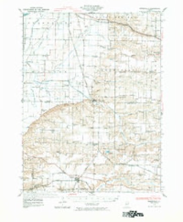
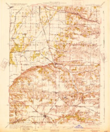
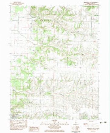
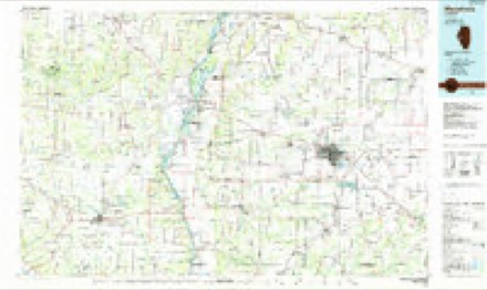
7 surveys from 11 printed sheetsMatched by testing this settlement's coordinate against the published boundary of every sheet in the United States Geological Survey's historical collection. Each opens the scanned sheet at the Survey.
- 1929 USGS Arenzville quadrangle1:62500, 2 printings
- 1932 USGS Arenzville quadrangle1:62500
- 1948 USGS Quincy quadrangle1:250000, 2 printings
- 1956 USGS Quincy quadrangle1:250000, 3 printings
- 1983 USGS Arenzville East quadrangle1:24000
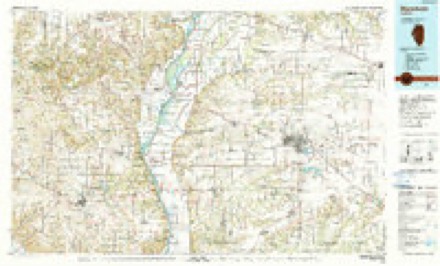
- 1985 USGS Meredosia quadrangle1:100000
- 1990 USGS Meredosia quadrangle1:100000


In the county-history sources
2,267 words on this townshipHistory of Cass County Illinois, published 1915 names this settlement in its chapter on Arenzville Township. These are the passages that mention it, exactly as the scans read.
Arenzville is organized as a village, under the general law, but as a hamlet or unincorporated town it has been in existence for many years. About 1821 James Smart found his way into that part of Morgan County, and seeing the need of a gristmill in that locality, and also being impressed with the natural advantages offered for water power on Indian Creek, erected a small mill which was a boon to the people scattered along the Illinois valley, and on the upland prairies to the east. On October 31, 1827, Mr. Smart entered the east half of section 31, and on April 6, 1829, the west half of the same section, and continued running his mill until August, 1831, when he sold his land to Bennet Smart. On July 30, 1832, Francis Arenz purchased the southeast quarter section, together with the mill, and operated it together with his other business interests, with very indifferent success, until about 1853 when he sold to Herman Engelbach and Peter Arenz.
Passage source: History of Cass County Illinois, published 1915.
In the meantime, Francis Arenz had laid off a few lots and sold them to settlers who formed the nucleus of the future thriving village. In 1852 Mr. Arenz had John Craig, the county surreyor of Cass County, survey and plat, together with the lots already sold, a part of the southeast quarter of section 31, township ite range 11, for a town, to which he gave the name of Arenzyille, although that part of Morgan County had been designated Arenzville Precinct for some time before Cass County was formed. Mr. Arenz certified to the plat and acknowledged it before his brother, John A. Arenz, a justice of the peace, June 26, 1852, and filed the plat for record on July 80 of the same year. Mr. Arenz died in 1856, and his executors, in the next year, made an addition to the town. naming it the "Addition of the Executors of Francis Arenz," and recorded the plat. In 1876, Thomas Y. Finney, for a number of years circuit clerk of this county, made a complete plat of Arenzville, and the additions, which was recorded October 22, 1876. On May 22, 1878, the trustees of the village adopted the plat by ordinance, as the limits of the town. The first organization of the town was July 9, 1853, and a board of trustees elected. The first president of the board was Francis Arenz, while the clerk was Dr. Julius Philippi, the treasurer was Herman Engelbach, the supervisor was John Goebel, and the town constable was Charles Heintz.
Passage source: History of Cass County Illinois, published 1915.
When <Arenzville Precinct was established it extended to the Illinois River, with the voting place at the town of Arenzville, but in 1857, the west part was cut off and made into a voting district or precinct, and named Indian Creek. There are three water courses traversing the precinct, Indian Creek the largest, which enters the county from Morgan County, just south of the village of Arenzville, and making a great bend north of the village runs in a westerly course, bearing a little north, and empties into the Illinois River; Clear Creek, which runs westerly across the center of the precinct into Indian Creek; and Mud Creek, which is a small tributary of Indian Creek, running from the south line of the precinct near Arenzville, northwesterly for about six miles. Both Indian Creek and Mud Creek overflowed badly and kept the lands west of Arenzville in a wet and unhealthful condition, and rendered it unfit for cultivation except in an unusually dry season. The land was too valuable to be left in that condition, and the enterprising farmers who owned it and had purchased it at a very low price, organized a drainage district about 1899 and have reclaimed the land, and now have hun dreds of acres of excellent soil, producing abundant crops annually. Being now free from the fear of overflow and destruction from high waters, the farms have been well improved, and
Passage source: History of Cass County Illinois, published 1915.
Machine-read from a century-old scan, so expect the errors a machine makes: misspelled names, dropped words, stray characters.
Read the whole chapter on Arenzville Township - it names this place 6 more 6 times.
Mines and quarries near this place
2 within 5 milesRegional context, not property-specific evidence. The federal mineral resources record lists 2 workings within 5 miles of Arenzville: 2 past producers. None of them still produces. What was taken out: Sand and Gravel, Construction. Distance is straight-line from the map coordinates, so a quarry counted here may appear on a neighbouring settlement's page as well.
| Where | Site | Commodity | Status | Recorded |
|---|---|---|---|---|
| Arenzville Pit | Sand and Gravel, Construction | Past Producer | ||
| Illinois Valley Asphalt Co. Pit | Sand and Gravel, Construction | Past Producer |
Storms near this place
9 since 1995Regional context, not property-specific evidence. The National Weather Service names Arenzville in 9 storm reports between 1995 and 2021: 3 thunderstorm wind, 3 hail, 2 tornado, 1 flash flood. No death or injury is recorded in these reports. Each account below is quoted exactly as the forecast office filed it, from the NOAA Storm Events Database, and each date opens the federal record of that event.
| When | Event | Place named | Harm | What the report says |
|---|---|---|---|---|
| September 2008 | Flash Flood | Arenzville | $20,000 | Six homes in Arenzville had 1.5 feet of water in their basements due to heavy rainfall. |
| May 2013 | Thunderstorm Wind | Arenzville | $14,000 | Power lines were blown down in Arenzville. |
| June 2011 | Thunderstorm Wind | Arenzville | $10,000 | Power lines were blown down in Arenzville. |
| May 2021 | Tornado (EFU) | Arenzville | - | A weak tornado touched down in a field about 2.5 miles east-northeast of Arenzville just north of Crum Road at 4:57 PM CDT. The tornado tracked southeastward near the intersection of Crum Road and Thornley Lane and quickly dissipated by 4:59 PM CDT. No damage occurred. |
| February 2014 | Tornado (EF0) | Arenzville | - | This tornado crossed into Cass County from Morgan County 3.8 miles east of Arenzville at 2:59 PM CST. It dissipated 4.5 miles east of Arenzville at 3:00 PM CST with no damage reported. |
| June 1995 | Thunderstorm Wind | Arenzville | - | Thunderstorm winds blew down numerous trees and power lines. |
| September 2010 | Hail | Arenzville | - | no account filed |
| November 2005 | Hail | Arenzville | - | no account filed |
| April 1996 | Hail | Arenzville | - | no account filed |
Nearest settlements
The eight closest, with where each one stands in the county. Distances are straight-line, computed from the Geographic Names Information System coordinates.
| Map | Place | Distance | Sheets |
|---|---|---|---|
| Hagener | 3.6 miles | 12 | |
| Bluff Springs | 7.8 miles | 11 | |
| Cass (historical) | 8.4 miles | 11 | |
| Jules | 8.7 miles | 11 | |
| Little Indian | 9.2 miles | 12 | |
| Kisch | 9.5 miles | 12 | |
| Virginia | 10.0 miles | 12 | |
| Beardstown | 10.1 miles | 16 |
Elsewhere
Matched on this settlement's Geographic Names Information System number rather than its name, so it cannot be a different place of the same name in another state.
| Wikipedia article on Arenzville | An encyclopaedic summary. Its text is share-alike, so it is linked here rather than copied. |
| Wikidata item Q2633395 | The structured record the population and elevation above come from. Public domain (CC0). |
Provenance
This settlement is recorded in the Geographic Names Information System as feature 403596. The sheet list is computed by point-in-boundary test against the United States Geological Survey's historical topographic inventory. Both are works of the United States government and carry no copyright under 17 U.S.C. 105.
Mines and quarries. USGS Mineral Resources Data System (MRDS) https://mrdata.usgs.gov/mrds/ A work of the United States government, no copyright under 17 U.S.C. 105.
Storms. NOAA National Centers for Environmental Information, Storm Events Database https://www.ncei.noaa.gov/stormevents/ A work of the United States government, no copyright under 17 U.S.C. 105. Narratives are quoted verbatim from the National Weather Service report and are not edited or summarised.