 Block
Barnes, Illinois
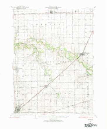
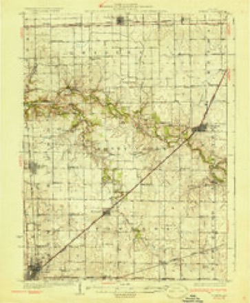
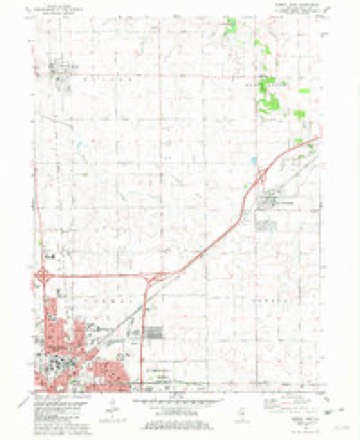
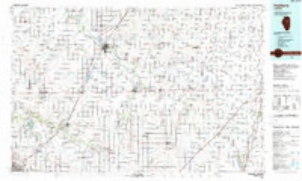
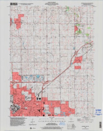
15 topographic sheets cover this place, the earliest surveyed in 1926 and the latest in 1998. It stands in Towanda Township. It lies in ZIP code area 61705. The Survey maps it on the Normal East quadrangle.
Topographic sheets covering this place
9 surveys from 15 printed sheetsMatched by testing this settlement's coordinate against the published boundary of every sheet in the United States Geological Survey's historical collection. Each opens the scanned sheet at the Survey.
- 1926 USGS Normal quadrangle1:62500, 2 printings
- 1930 USGS Normal quadrangle1:62500, 2 printings
- 1958 USGS Peoria quadrangle1:250000, 4 printings
- 1961 USGS Peoria quadrangle1:250000
- 1963 USGS Peoria quadrangle1:250000
- 1981 USGS Normal East quadrangle1:24000
- 1985 USGS Fairbury quadrangle1:100000, 2 printings
- 1990 USGS Peoria quadrangle1:250000
- 1998 USGS Normal East quadrangle1:24000




In the county-history sources
15,602 words on this townshipThe Good Old Times in McLean County, Illinois : Containing Two Hundred and Sixty-one Sketches of Old Settlers, a Complete Historical Sketch of the Black Hawk War and Descriptions of All Matters of Interest Relating to McLean County, published 1874 names this settlement in its chapter on Towanda Township. These are the passages that mention it, exactly as the scans read.
"John Scott came into 'open Court and on his oath made a declaration purporting to prove himself a revolutionary soldier, for the purpose of obtaining the benefit of the act of Congress, passed June the 7th, A. I). 1832. The Court is of opinion, after the investigation of the matter and putting the interrogatories prescribed by the war department, that the said Scott's declaration is correct and that he is a revolutionary soldier." Eight other revolutionary soldiers were certified by the Court as being such. They were Ebenezer Barnes, William MeGhee, Thomas Sloan, Edward F. Patrick, Charles Moore, William Vincent, Edward Day and John Toliday.
Passage source: The Good Old Times in McLean County, Illinois : Containing Two Hundred and Sixty-one Sketches of Old Settlers, a Complete Historical Sketch of the Black Hawk War and Descriptions of All Matters of Interest Relating to McLean County, published 1874.
Machine-read from a century-old scan, so expect the errors a machine makes: misspelled names, dropped words, stray characters.
Read the whole chapter on Towanda Township - it names this place 1 more 1 time.
Mines and quarries near this place
2 within 5 milesRegional context, not property-specific evidence. The federal mineral resources record lists 2 workings within 5 miles of Barnes: 2 past producers. None of them still produces. What was taken out: Sand and Gravel, Construction, Stone. Distance is straight-line from the map coordinates, so a quarry counted here may appear on a neighbouring settlement's page as well.
| Where | Site | Commodity | Status | Recorded |
|---|---|---|---|---|
| Normal City Pit | Stone | Past Producer | ||
| Rowe Pit No.2 | Sand and Gravel, Construction | Past Producer |
Storms near this place
2 since 2015Regional context, not property-specific evidence. The National Weather Service names Barnes in 2 storm reports between 2015 and 2025: 1 hail, 1 flash flood. No death or injury is recorded in these reports. Each account below is quoted exactly as the forecast office filed it, from the NOAA Storm Events Database, and each date opens the federal record of that event.
Nearest settlements
The eight closest, with where each one stands in the county. Distances are straight-line, computed from the Geographic Names Information System coordinates.
| Map | Place | Distance | Sheets |
|---|---|---|---|
| Hawthorne Hills | 0.9 miles | 15 | |
| Eagle Ridge | 1.6 miles | 15 | |
| Hedgewood | 1.9 miles | 15 | |
| North Pointe | 2.0 miles | 15 | |
| Colonial Meadows | 2.2 miles | 14 | |
| Greenbriar | 2.7 miles | 15 | |
| Brokaw | 3.6 miles | 14 | |
| Merna | 4.1 miles | 14 |
Provenance
This settlement is recorded in the Geographic Names Information System as feature 422432. The sheet list is computed by point-in-boundary test against the United States Geological Survey's historical topographic inventory. Both are works of the United States government and carry no copyright under 17 U.S.C. 105.
Mines and quarries. USGS Mineral Resources Data System (MRDS) https://mrdata.usgs.gov/mrds/ A work of the United States government, no copyright under 17 U.S.C. 105.
Storms. NOAA National Centers for Environmental Information, Storm Events Database https://www.ncei.noaa.gov/stormevents/ A work of the United States government, no copyright under 17 U.S.C. 105. Narratives are quoted verbatim from the National Weather Service report and are not edited or summarised.