 Block
Broadview, Illinois
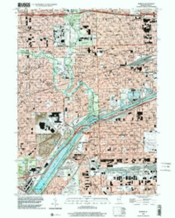
24 topographic sheets cover this place, the earliest surveyed in 1891 and the latest in 1998. It stands in Proviso Township. It lies in ZIP code area 60155. It stands on Addison Creek. The Survey maps it on the Berwyn quadrangle. 7,998 people lived here at the 2020 count. It stands 630 feet above sea level.
On record in Broadview
Buildings and businesses the archive holds for this place. Each opens its own page, with the source record it came from.
On the National Register within a mile 1 record
The National Register names another town for these. They stand within one mile of this settlement's coordinate.
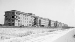 Edward Jr. Hines Veterans Administration Hospital Historic Districtlisted 2013 · 0.7 miles away
Population over time
2 figuresBroadview grew from 7,932 to 7,998 between 2010 and 2020. These are the recorded population figures Wikidata holds for this place, reached through the Geographic Names Information System number this page is keyed on rather than by name, so they belong to this place and not to another of the same name. Most are census counts, but not all are: an early figure may be a founding or settlement estimate, and an estimate published within five years of a census is left out. The change column is computed, and is left blank where more than 20 years separate a figure from the one before it, because a gap that long is not a change between two counts.
| Year | People | Change |
|---|---|---|
| 2010 | 7,932 | |
| 2020 | 7,998 | +66 (+1%) |
Topographic sheets covering this place
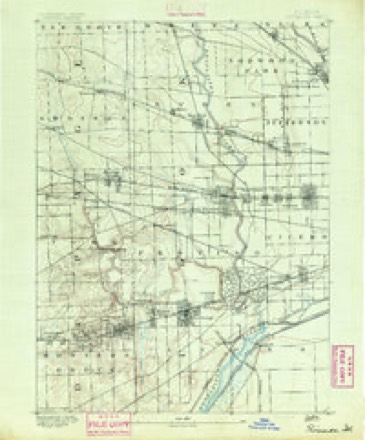
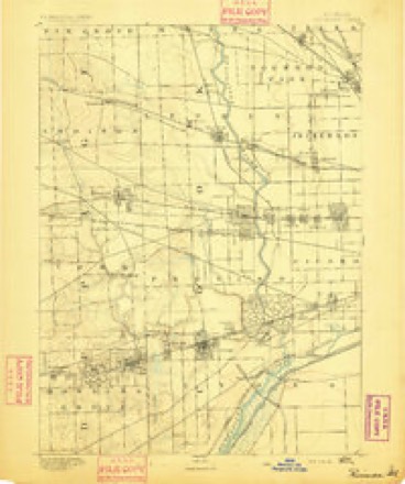
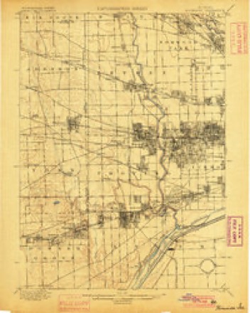
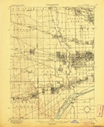
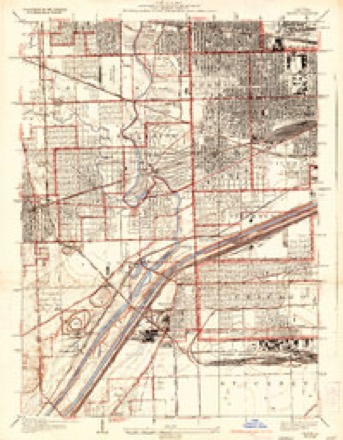
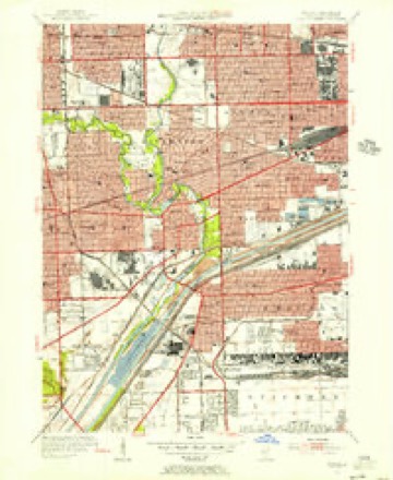
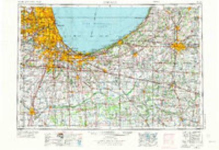
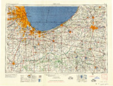
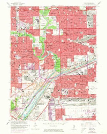
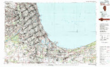
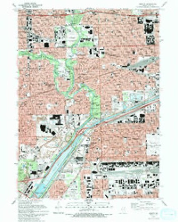
12 surveys from 24 printed sheetsMatched by testing this settlement's coordinate against the published boundary of every sheet in the United States Geological Survey's historical collection. Each opens the scanned sheet at the Survey.
- 1891 USGS Riverside quadrangle1:62500
- 1893 USGS Riverside quadrangle1:62500
- 1900 USGS Riverside quadrangle1:62500
- 1901 USGS Riverside quadrangle1:62500, 4 printings
- 1928 USGS Berwyn quadrangle1:24000, 3 printings
- 1953 USGS Berwyn quadrangle1:24000
- 1953 USGS Chicago quadrangle1:250000, 5 printings
- 1957 USGS Chicago quadrangle1:250000
- 1963 USGS Berwyn quadrangle1:24000, 3 printings
- 1980 USGS Chicago quadrangle1:100000
- 1993 USGS Berwyn quadrangle1:24000, 2 printings
- 1998 USGS Berwyn quadrangle1:24000
Mines and quarries near this place
10 of 13 shownRegional context, not property-specific evidence. The federal mineral resources record lists 13 workings within 5 miles of Broadview: 11 past producers, 2 plants. 2 still produce. What was taken out: Stone, Crushed/Broken. Distance is straight-line from the map coordinates, so a quarry counted here may appear on a neighbouring settlement's page as well.
| Where | Site | Commodity | Status | Recorded |
|---|---|---|---|---|
| A C O'Laughlin Stone Co Quarry | Stone, Crushed/Broken | Past Producer | ||
| Bellwood Quarry | Stone, Crushed/Broken | Past Producer | ||
| Federal Quarry & Mill | Stone, Crushed/Broken | Plant | ||
| Mc Cook Yard No. 387 & Mill | Stone, Crushed/Broken | Plant | ||
| Melrose Park City Eng. - Own Crews | Stone, Crushed/Broken | Past Producer | ||
| Northlake City Eng. - Own Crews | Stone, Crushed/Broken | Past Producer | ||
| River Forest City Eng - Own Crews | Stone, Crushed/Broken | Past Producer | ||
| Riverside Lime and Stone Co Quarry | Stone, Crushed/Broken | Past Producer | ||
| Summit Quarry Consumers Company | Stone, Crushed/Broken | Past Producer | ||
| Superior Stone Co Quarry | Stone, Crushed/Broken | Past Producer |
Storms near this place
10 since 2008Regional context, not property-specific evidence. The National Weather Service names Broadview in 10 storm reports between 2008 and 2024: 5 thunderstorm wind, 3 flood, 1 flash flood, 1 tornado. No death or injury is recorded in these reports. Each account below is quoted exactly as the forecast office filed it, from the NOAA Storm Events Database, and each date opens the federal record of that event.
| When | Event | Place named | Harm | What the report says |
|---|---|---|---|---|
| June 2011 | Thunderstorm Wind | Broadview | $5,000 | A huge oak tree was uprooted along 26th Place in Brookfield. The tree fell on top of a house, but all of the large limbs remained in the air and no damage was reported to the roof. Additional trees, tree limbs and power lines were blown down in Brookfield. |
| July 2024 | Thunderstorm Wind | Broadview | - | Trees were snapped and fell onto parked cars. |
| July 2024 | Tornado (EF0) | Broadview | - | A tornado with estimated peak winds of 85 mph touched down near Roosevelt Road and Bristol Avenue and moved east northeast. Surveillance video showed roof, siding and window damage occurring to a warehouse building on Gardener Road, just north of Roosevelt Road. The tornado continued east peeling off portions of the roofs of three apartment buildings along 25th Avenue, north of Roosevelt Road and depositing the roofing material into an adjacent alley. A garage partially collapsed on 25th Avenue. The tornado then produced only tree damage before it ended near 12th Street between Harvard Street and Fillmore Street. |
| June 2022 | Thunderstorm Wind | Broadview | - | Trees, tree limbs and power lines were blown down in Broadview. Photos showed utility poles snapped and blocking a street near 21st Avenue and Cermak Road. Numerous utility poles were also snapped at 25th Avenue and Cermak Road. |
| April 2022 | Flood | Broadview | - | Video showed several inches of standing water on Lexington Street, near 25th Avenue. |
| May 2020 | Flash Flood | Broadview | - | First Avenue was closed near Forest Avenue due to a flooded underpass. Around 40 people were evacuated by boat near Salt Creek in Lyons, where flood waters were chest deep in some areas and flooded some homes. |
| May 2020 | Flood | Broadview | - | Major flooding occurred along the Des Plaines River. The river crested at 10 feet at Riverside on May 18th, which is the second highest crest on record. Flood stage is 7.5 feet and major stage is 9 feet. |
| August 2020 | Thunderstorm Wind | Broadview | - | A narrow corridor of wind damage occurred along 23rd Street in North Riverside. One large tree fell between two houses near 10th Avenue causing some damage to aluminum siding. Another large tree near 2nd Avenue was completely uprooted, narrowly missing a house. |
| June 2010 | Flood | Broadview | - | Nine inches of standing water was reported on Route 171 between 22nd and 26th Streets. |
| June 2008 | Thunderstorm Wind | Broadview | - | A large tree limb was blown down at Loyola University Medical Center in Maywood. |
Nearest settlements
The eight closest, with where each one stands in the county. Distances are straight-line, computed from the Geographic Names Information System coordinates.
| Map | Place | Distance | Sheets |
|---|---|---|---|
| Hines | 1.0 miles | 24 | |
| Maywood | 1.2 miles | 26 | |
| Westchester | 1.8 miles | 23 | |
| Bellwood | 2.0 miles | 23 | |
| La Grange Park | 2.1 miles | 24 | |
| North Riverside | 2.2 miles | 24 | |
| Forest Park | 2.4 miles | 26 | |
| Melrose Park | 2.5 miles | 26 |
Elsewhere
Matched on this settlement's Geographic Names Information System number rather than its name, so it cannot be a different place of the same name in another state.
| Wikipedia article on Broadview | An encyclopaedic summary. Its text is share-alike, so it is linked here rather than copied. |
| Wikidata item Q2342090 | The structured record the population and elevation above come from. Public domain (CC0). |
Provenance
This settlement is recorded in the Geographic Names Information System as feature 404887. The sheet list is computed by point-in-boundary test against the United States Geological Survey's historical topographic inventory. Both are works of the United States government and carry no copyright under 17 U.S.C. 105.
Mines and quarries. USGS Mineral Resources Data System (MRDS) https://mrdata.usgs.gov/mrds/ A work of the United States government, no copyright under 17 U.S.C. 105.
Storms. NOAA National Centers for Environmental Information, Storm Events Database https://www.ncei.noaa.gov/stormevents/ A work of the United States government, no copyright under 17 U.S.C. 105. Narratives are quoted verbatim from the National Weather Service report and are not edited or summarised.