 Block
Maywood, Illinois
26 topographic sheets cover this place, the earliest surveyed in 1891 and the latest in 1997. It stands in Proviso Township. It lies in ZIP code area 60153. It stands on Silver Creek. The Survey maps it on the River Forest quadrangle.
On record in Maywood
Buildings and businesses the archive holds for this place. Each opens its own page, with the source record it came from.
On the National Register 12 of 17 shown
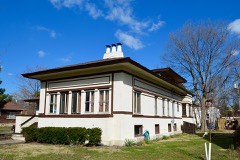 Mrs. Henry F. Akin Houselisted 1992
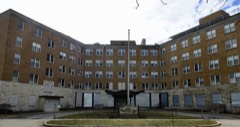 Baptist Retirement Homelisted 2017
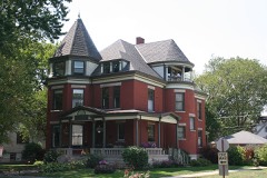 Jacob Bohlander Houselisted 1989
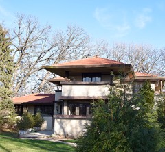 Richard Cluever Houselisted 1977
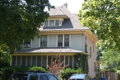 William Frangenheim Houselisted 1992
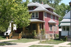 William and Caroline Gibbs Houselisted 1992
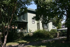 Caroline Grow Houselisted 1992
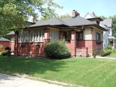 Mads C. Larson Houselisted 1992
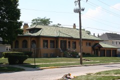 Timothy J. Lynch Houselisted 1992
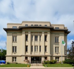 Masonic Temple Buildinglisted 1992
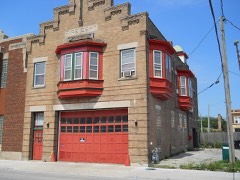 Maywood Fire Department Buildinglisted 1992
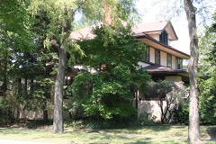 Caroline Millward Houselisted 1992
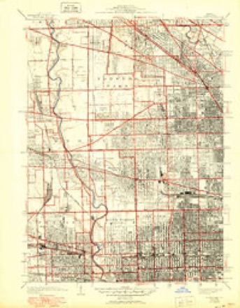
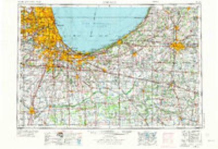
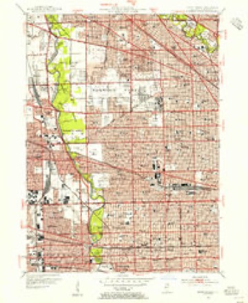
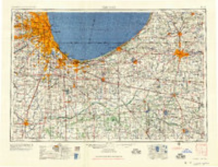
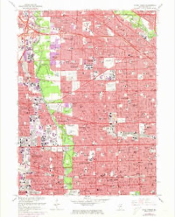
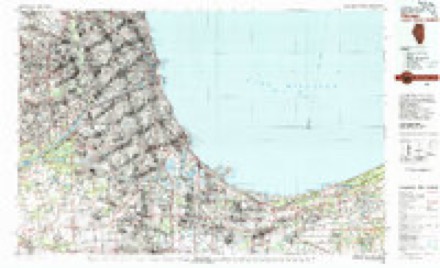
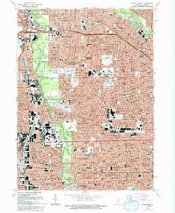
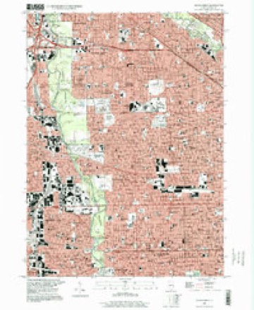
Topographic sheets covering this place
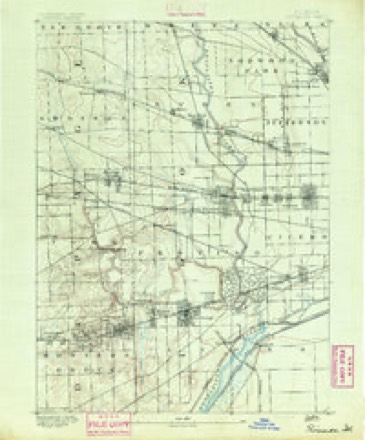
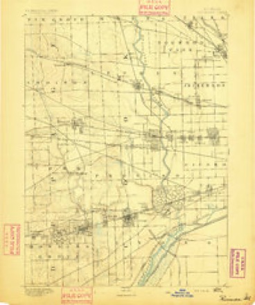
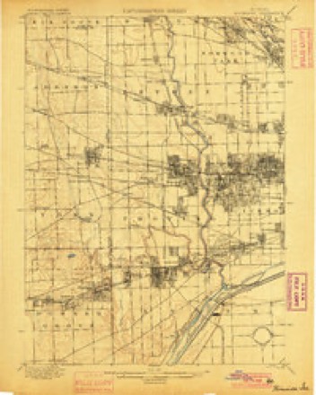
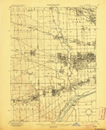
12 surveys from 26 printed sheetsMatched by testing this settlement's coordinate against the published boundary of every sheet in the United States Geological Survey's historical collection. Each opens the scanned sheet at the Survey.
- 1891 USGS Riverside quadrangle1:62500
- 1893 USGS Riverside quadrangle1:62500
- 1900 USGS Riverside quadrangle1:62500
- 1901 USGS Riverside quadrangle1:62500, 4 printings
- 1928 USGS River Forest quadrangle1:24000, 4 printings
- 1953 USGS Chicago quadrangle1:250000, 5 printings
- 1953 USGS River Forest quadrangle1:24000
- 1957 USGS Chicago quadrangle1:250000
- 1963 USGS River Forest quadrangle1:24000, 4 printings
- 1980 USGS Chicago quadrangle1:100000
- 1993 USGS River Forest quadrangle1:24000, 2 printings
- 1997 USGS River Forest quadrangle1:24000
Mines and quarries near this place
7 within 5 milesRegional context, not property-specific evidence. The federal mineral resources record lists 7 workings within 5 miles of Maywood: 7 past producers. None of them still produces. What was taken out: Stone, Crushed/Broken. Distance is straight-line from the map coordinates, so a quarry counted here may appear on a neighbouring settlement's page as well.
| Where | Site | Commodity | Status | Recorded |
|---|---|---|---|---|
| A C O'Laughlin Stone Co Quarry | Stone, Crushed/Broken | Past Producer | ||
| Bellwood Quarry | Stone, Crushed/Broken | Past Producer | ||
| Melrose Park City Eng. - Own Crews | Stone, Crushed/Broken | Past Producer | ||
| Northlake City Eng. - Own Crews | Stone, Crushed/Broken | Past Producer | ||
| River Forest City Eng - Own Crews | Stone, Crushed/Broken | Past Producer | ||
| Riverside Lime and Stone Co Quarry | Stone, Crushed/Broken | Past Producer | ||
| West Chester City Eng. - Own Crews | Stone, Crushed/Broken | Past Producer |
Storms near this place
12 since 2001Regional context, not property-specific evidence. The National Weather Service names Maywood in 12 storm reports between 2001 and 2022: 6 flash flood, 2 lightning, 2 hail, 2 thunderstorm wind. The reports record 1 death. Each account below is quoted exactly as the forecast office filed it, from the NOAA Storm Events Database, and each date opens the federal record of that event.
| When | Event | Place named | Harm | What the report says |
|---|---|---|---|---|
| July 2001 | Lightning | Maywood | 1 killed | no account filed |
| August 2014 | Flash Flood | Maywood | $150,000 | Interstate 290 was closed between Harlem Avenue and Mannheim Road with portions of the interstate covered with up to four feet of water. Multiple cars were stranded in the water before it closed. A portion of the far right eastbound lane buckled from the high water. |
| August 2015 | Lightning | Maywood | $2,000 | Multiple utility poles were down due to lightning. |
| September 2022 | Flash Flood | Maywood | - | Interstate 290 was closed due to flooding near Des Plaines Avenue. |
| May 2020 | Flash Flood | Maywood | - | Interstate 290 was flooded near Des Plaines Avenue. The CTA suspended Blue Line service between the Forest Park and Harlem stations due to flooding. |
| July 2015 | Thunderstorm Wind | Maywood | - | A tree was blown down on 1st Avenue near Pine Street. |
| June 2015 | Flash Flood | Maywood | - | Both directions of I-290 were flooded and closed between Harlem Avenue and Desplaines Avenue. |
| August 2015 | Flash Flood | Maywood | - | All lanes and shoulders on east bound I-290 at Des Plaines Avenue were flooded and closed. |
| August 2014 | Flash Flood | Maywood | - | Several lanes on westbound I-290 at Des Plaines Avenue were flooded and impassable. |
| August 2008 | Thunderstorm Wind | Maywood | - | Eight to ten inch diameter trees were blown down on 21st Street, two blocks north of Roosevelt. |
| October 2006 | Hail | Maywood | - | no account filed |
| May 2005 | Hail | Maywood | - | no account filed |
Nearest settlements
The eight closest, with where each one stands in the county. Distances are straight-line, computed from the Geographic Names Information System coordinates.
| Map | Place | Distance | Sheets |
|---|---|---|---|
| Broadview | 1.2 miles | 24 | |
| Forest Park | 1.6 miles | 26 | |
| Melrose Park | 1.6 miles | 26 | |
| Hines | 1.8 miles | 24 | |
| River Forest | 2.0 miles | 26 | |
| Bellwood | 2.1 miles | 23 | |
| North Riverside | 2.7 miles | 24 | |
| Stone Park | 2.8 miles | 23 |
Provenance
This settlement is recorded in the Geographic Names Information System as feature 413169. The sheet list is computed by point-in-boundary test against the United States Geological Survey's historical topographic inventory. Both are works of the United States government and carry no copyright under 17 U.S.C. 105.
Mines and quarries. USGS Mineral Resources Data System (MRDS) https://mrdata.usgs.gov/mrds/ A work of the United States government, no copyright under 17 U.S.C. 105.
Storms. NOAA National Centers for Environmental Information, Storm Events Database https://www.ncei.noaa.gov/stormevents/ A work of the United States government, no copyright under 17 U.S.C. 105. Narratives are quoted verbatim from the National Weather Service report and are not edited or summarised.