 Block
Caldwell, Illinois
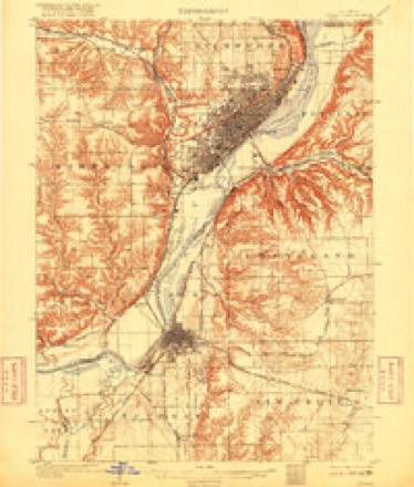
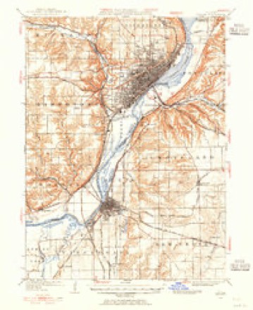
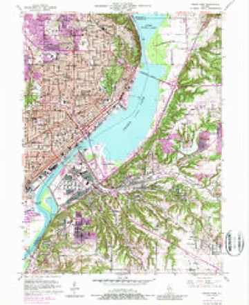
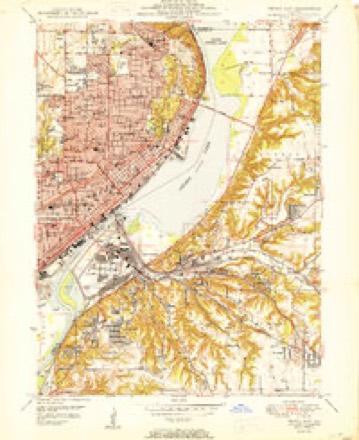
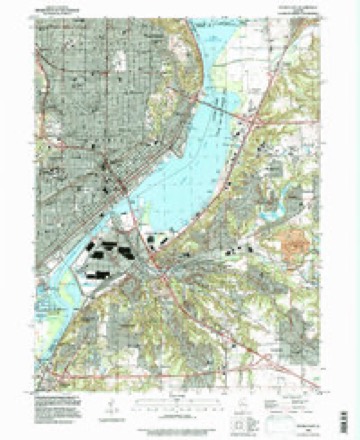
21 topographic sheets cover this place, the earliest surveyed in 1905 and the latest in 1996. It stands in Groveland Township. It lies in ZIP code area 61611. It stands on Ackerman Creek. The Survey maps it on the Peoria East quadrangle.
Topographic sheets covering this place
11 surveys from 21 printed sheetsMatched by testing this settlement's coordinate against the published boundary of every sheet in the United States Geological Survey's historical collection. Each opens the scanned sheet at the Survey.
- 1905 USGS Peoria quadrangle1:62500, 4 printings
- 1927 USGS Peoria quadrangle1:62500
- 1949 USGS Peoria East quadrangle1:24000, 5 printings
- 1950 USGS Peoria East quadrangle1:24000
- 1958 USGS Peoria quadrangle1:250000, 4 printings
- 1961 USGS Peoria quadrangle1:250000
- 1963 USGS Peoria quadrangle1:250000
- 1985 USGS Peoria quadrangle1:100000
- 1989 USGS Peoria quadrangle1:100000
- 1990 USGS Peoria quadrangle1:250000
- 1996 USGS Peoria East quadrangle1:24000






In the county-history sources
5,216 words on this townshipHistory of Tazewell County, Illinois ; Together with Sketches of Its Cities, Villages and Townships, Educational, Religious, Civil, Military, and Political History; Portraits of Prominent Persons and Biographies of Representative Citizens. History of Illinois ... Digest of State Laws, published 1879 names this settlement in its chapter on Groveland Township. These are the passages that mention it, exactly as the scans read.
This township received its name from the village of Groveland, and it from the beautiful groves in the neighborhood. A visit to the township at this late day shows it to have been very appropriately christened. The first settler to locate here was James Scott. He built his cabin in the timber on section 35, as early as 1827. Others who came in shortly afterwards were Milton Shurtleif, John O'Brien, Daniel and John Mooberry, John Anderson, Joseph Landes, Benjamin Dobsone, Alexander Caldwell and George Dupree. The only ones of these pioneers now living are John Mooberry, Joseph Landes and John O'Brien. The first school in the township was taught by John McGinnis, in a little log cabin built for that purpose on the southwest quarter of sec. 11, in the winter of 1834-35. Some claim that Mathew Kingman was the first " master."
Passage source: History of Tazewell County, Illinois ; Together with Sketches of Its Cities, Villages and Townships, Educational, Religious, Civil, Military, and Political History; Portraits of Prominent Persons and Biographies of Representative Citizens. History of Illinois ... Digest of State Laws, published 1879.
Machine-read from a century-old scan, so expect the errors a machine makes: misspelled names, dropped words, stray characters.
Mines and quarries near this place
6 within 5 milesRegional context, not property-specific evidence. The federal mineral resources record lists 6 workings within 5 miles of Caldwell: 3 producers, 2 past producers, 1 plant. 4 still produce. What was taken out: Sand and Gravel, Construction, Fire Clay (Refractory), Clay. Distance is straight-line from the map coordinates, so a quarry counted here may appear on a neighbouring settlement's page as well.
| Where | Site | Commodity | Status | Recorded |
|---|---|---|---|---|
| Clay Pit No 3 Peoria Brick & Tile | Clay | Producer | ||
| Peoria Blacktop S & G | Fire Clay (Refractory) | Plant | ||
| Farmdale Sand & Gravel Pit | Sand and Gravel, Construction | Producer | ||
| Moushon Construction Co. Pit #1 | Sand and Gravel, Construction | Past Producer | ||
| Moushon Construction Co. Pit #2 | Sand and Gravel, Construction | Producer | ||
| Peoria Pit | Sand and Gravel, Construction | Past Producer |
Nearest settlements
The eight closest, with where each one stands in the county. Distances are straight-line, computed from the Geographic Names Information System coordinates.
| Map | Place | Distance | Sheets |
|---|---|---|---|
| Cloverdale | 0.1 miles | 21 | |
| Gardena | 0.7 miles | 21 | |
| Farmdale | 1.6 miles | 21 | |
| Highway Village | 2.3 miles | 21 | |
| Fondulac Plaza Shopping Center | 2.6 miles | 21 | |
| Robein | 3.2 miles | 21 | |
| Sunnyland | 3.4 miles | 21 | |
| Groveland | 3.6 miles | 18 |
Provenance
This settlement is recorded in the Geographic Names Information System as feature 405345. The sheet list is computed by point-in-boundary test against the United States Geological Survey's historical topographic inventory. Both are works of the United States government and carry no copyright under 17 U.S.C. 105.
Mines and quarries. USGS Mineral Resources Data System (MRDS) https://mrdata.usgs.gov/mrds/ A work of the United States government, no copyright under 17 U.S.C. 105.