 Block
Calumet, Illinois
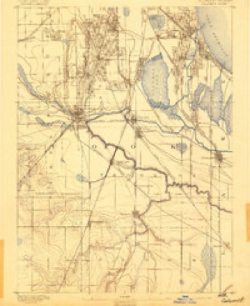
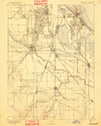
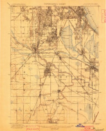
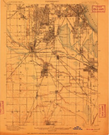
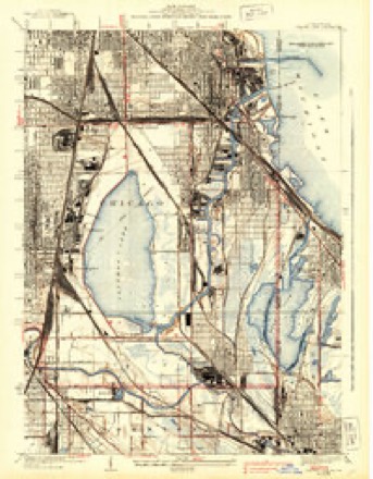
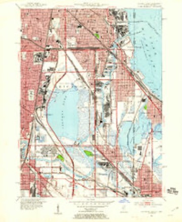
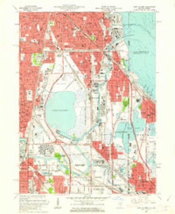
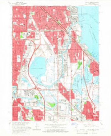
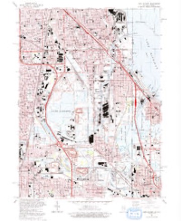
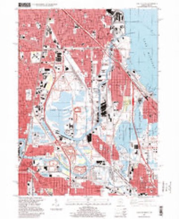
26 topographic sheets cover this place, the earliest surveyed in 1892 and the latest in 1997. It stands in Chicago City. It lies in ZIP code area 60617. It stands on Calumet River. The Survey maps it on the Lake Calumet quadrangle.
On record in Calumet
Buildings and businesses the archive holds for this place. Each opens its own page, with the source record it came from.
On the National Register within a mile 1 record
The National Register names another town for these. They stand within one mile of this settlement's coordinate.
- Schlitz Brewery-Tied Houselisted 2022 · 0.8 miles away
Topographic sheets covering this place
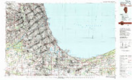
13 surveys from 26 printed sheetsMatched by testing this settlement's coordinate against the published boundary of every sheet in the United States Geological Survey's historical collection. Each opens the scanned sheet at the Survey.
- 1892 USGS Calumet quadrangle1:62500
- 1893 USGS Calumet quadrangle1:62500
- 1900 USGS Calumet quadrangle1:62500
- 1901 USGS Calumet quadrangle1:62500, 5 printings
- 1929 USGS Calumet Lake quadrangle1:24000, 3 printings
- 1953 USGS Calumet Lake quadrangle1:24000
- 1953 USGS Chicago quadrangle1:250000, 5 printings
- 1957 USGS Chicago quadrangle1:250000
- 1960 USGS Lake Calumet quadrangle1:24000
- 1965 USGS Lake Calumet quadrangle1:24000, 4 printings
- 1980 USGS Chicago quadrangle1:100000
- 1991 USGS Lake Calumet quadrangle1:24000
- 1997 USGS Lake Calumet quadrangle1:24000
What happened here
An account from the chapter on Chicago city. The inset identifies its exact source book and publication year.
Index To Content
Chapter I. - First Settler of Chicago, 5. Various Appellations of Chicago. .Garies' River, 6. The Main River Bed Changed. .Chicago in Virginia. .Treaty of Greenville. . Original Site of Chicago. .Illinois in Indiana Territory. .Fort Dearborn Established. .First Commandants of the Fort. .Massacre of 1S12, 7. Captain John and Lieutenant Wm.
In the county-history sources
902,150 words on this townshipPolitics and Politicians of Chicago, Cook County, and Illinois : Memorial Volume, 1787-1887; a Complete Record of Municipal, County, State and National Politics from the Earliest Period to the Present Time, published 1887 names this settlement in its chapter on Chicago City. These are the passages that mention it, exactly as the scans read.
Mr. Hoyt, formally presented the tablet to the Historical Society. Mr, Gurdon S. Hubbard unveiled the tablet; the military presented arms ; flags were waved, the bands struck up national airs, and the people cheered. The Hon. Thomas Hoyne responded in acceptance of the tablet on behalf of the Historical Society. Addressing Mr. Bennett, Mr. Hoyne said : " I have been selected by the Historical Society to return to you their profound and grateful thanks for the very appropriate and beautiful memento which, at your own cost, you have placed on this historical corner. It is a memento which, as every one will see at a glance, recalls centuries of time, and embodies almost the whole history of events. We stand upon historical ground. We stand upon the ground where, as you have very eloquently said, was planted the original germ of the population who to-day constitute the great commercial metropolis of not only the West, where the Fort was established in advance of civilization, but the commercial center of the country. We stand in the presence also, of things which bring to remembrance some of the most remarkable events of national history. On yonder shore of this same river two centuries ago - in the winter of 1674 - stood the first Christian missionary that ever visited this land, - the pious and humble Marquette, the discoverer of the Mississippi, who was the first white man that ever spent a winter on this river, or at this spot. And, sir, we stand upon the ground where, at the beginning of this century, a whole garrison marched out, and upon the shore of this lake, below here, were slaughtered mercilessly by the aboriginal inhabitants of this same land.
Passage source: Politics and Politicians of Chicago, Cook County, and Illinois : Memorial Volume, 1787-1887; a Complete Record of Municipal, County, State and National Politics from the Earliest Period to the Present Time, published 1887.
Machine-read from a century-old scan, so expect the errors a machine makes: misspelled names, dropped words, stray characters.
Read the whole chapter on Chicago City - it names this place 1 more 1 time.
Mines and quarries near this place
2 within 5 milesRegional context, not property-specific evidence. The federal mineral resources record lists 2 workings within 5 miles of Calumet: 1 producer, 1 past producer. 1 still produces. What was taken out: Limestone, General, Stone, Crushed/Broken. Distance is straight-line from the map coordinates, so a quarry counted here may appear on a neighbouring settlement's page as well.
| Where | Site | Commodity | Status | Recorded |
|---|---|---|---|---|
| Marblehead South Chicago Lime Plant | Limestone, General | Producer | ||
| Stony Island Quarries | Stone, Crushed/Broken | Past Producer |
Storms near this place
5 since 2010Regional context, not property-specific evidence. The National Weather Service names Calumet in 5 storm reports between 2010 and 2017: 2 flood, 2 thunderstorm wind, 1 hail. No death or injury is recorded in these reports. Each account below is quoted exactly as the forecast office filed it, from the NOAA Storm Events Database, and each date opens the federal record of that event.
| When | Event | Place named | Harm | What the report says |
|---|---|---|---|---|
| February 2017 | Thunderstorm Wind | Calumet | $500 | A window was blown out of a house near 175th Street and Dixie Highway. |
| May 2014 | Flood | Calumet | - | One and a half feet of standing water was reported at Ridge Road and Harwood Avenue. |
| May 2014 | Hail | Calumet | - | Multiple reports of hail up to two inches came in from near Homewood. |
| June 2010 | Flood | Calumet | - | The 183rd Street north viaduct was closed due to flooding. |
| September 2010 | Thunderstorm Wind | Calumet | - | Six inch diameter tree limbs were blown down near 183rd Street and Hardwood Avenue. |
Nearest settlements
The eight closest, with where each one stands in the county. Distances are straight-line, computed from the Geographic Names Information System coordinates.
| Map | Place | Distance | Sheets |
|---|---|---|---|
| Green Bay | 0.3 miles | 26 | |
| South Chicago Heights | 0.7 miles | 26 | |
| South Chicago | 1.0 miles | 26 | |
| Merrionette Manor | 1.1 miles | 26 | |
| The Bush | 1.2 miles | 26 | |
| Cheltenham | 1.2 miles | 26 | |
| Taylors Addition to South Chicago | 1.4 miles | 26 | |
| Stony Island | 1.4 miles | 26 |
Provenance
This settlement is recorded in the Geographic Names Information System as feature 1737423. The sheet list is computed by point-in-boundary test against the United States Geological Survey's historical topographic inventory. Both are works of the United States government and carry no copyright under 17 U.S.C. 105.
Mines and quarries. USGS Mineral Resources Data System (MRDS) https://mrdata.usgs.gov/mrds/ A work of the United States government, no copyright under 17 U.S.C. 105.
Storms. NOAA National Centers for Environmental Information, Storm Events Database https://www.ncei.noaa.gov/stormevents/ A work of the United States government, no copyright under 17 U.S.C. 105. Narratives are quoted verbatim from the National Weather Service report and are not edited or summarised.