 Block
South Chicago Heights, Illinois
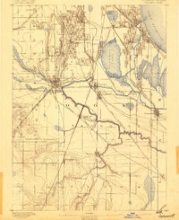
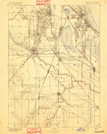
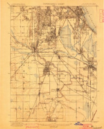
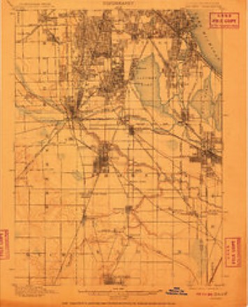
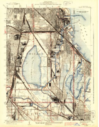
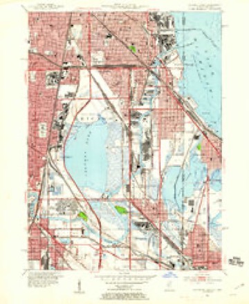
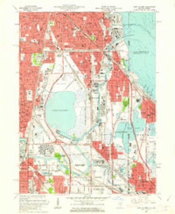
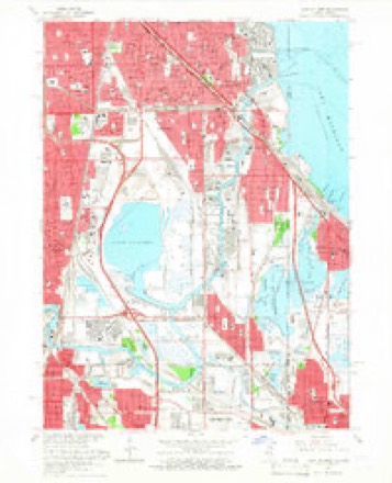
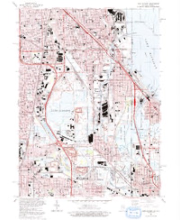
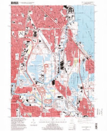
26 topographic sheets cover this place, the earliest surveyed in 1892 and the latest in 1997. It stands in Chicago City. It lies in ZIP code area 60617. It lies near Stony Island Ridge. The Survey maps it on the Lake Calumet quadrangle.
On record in South Chicago Heights
Buildings and businesses the archive holds for this place. Each opens its own page, with the source record it came from.
On the National Register within a mile 1 record
The National Register names another town for these. They stand within one mile of this settlement's coordinate.
- Chicago Vocational Schoollisted 2022 · 1.0 miles away
Topographic sheets covering this place
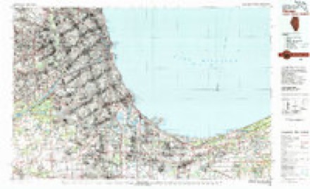
13 surveys from 26 printed sheetsMatched by testing this settlement's coordinate against the published boundary of every sheet in the United States Geological Survey's historical collection. Each opens the scanned sheet at the Survey.
- 1892 USGS Calumet quadrangle1:62500
- 1893 USGS Calumet quadrangle1:62500
- 1900 USGS Calumet quadrangle1:62500
- 1901 USGS Calumet quadrangle1:62500, 5 printings
- 1929 USGS Calumet Lake quadrangle1:24000, 3 printings
- 1953 USGS Calumet Lake quadrangle1:24000
- 1953 USGS Chicago quadrangle1:250000, 5 printings
- 1957 USGS Chicago quadrangle1:250000
- 1960 USGS Lake Calumet quadrangle1:24000
- 1965 USGS Lake Calumet quadrangle1:24000, 4 printings
- 1980 USGS Chicago quadrangle1:100000
- 1991 USGS Lake Calumet quadrangle1:24000
- 1997 USGS Lake Calumet quadrangle1:24000
What happened here
An account from the chapter on Chicago city. The inset identifies its exact source book and publication year.
Index To Content
Chapter I. - First Settler of Chicago, 5. Various Appellations of Chicago. .Garies' River, 6. The Main River Bed Changed. .Chicago in Virginia. .Treaty of Greenville. . Original Site of Chicago. .Illinois in Indiana Territory. .Fort Dearborn Established. .First Commandants of the Fort. .Massacre of 1S12, 7. Captain John and Lieutenant Wm.
In the county-history sources
902,150 words on this townshipPolitics and Politicians of Chicago, Cook County, and Illinois : Memorial Volume, 1787-1887; a Complete Record of Municipal, County, State and National Politics from the Earliest Period to the Present Time, published 1887 names this settlement in its chapter on Chicago City. These are the passages that mention it, exactly as the scans read.
In 1 8 16 Nathaniel Pope was elected delegate to Congress and served in that capacity until after the admission of Illinois to the Union. Nathaniel Pope was another Kentuckian. He was born in 1784, received a liberal education, and followed the law as a profession. The ordinance of 17S7 provided that the Northwest Territory should be divided into not less than three or more than five states, and that if Congress should find it expedient they should form one or two states in that part of the territory lying north of an east and west line drawn through the southerly bend of Lake Michigan. On this provision Wisconsin subsequently based a claim to the fourteen northern counties of Illinois. Our earliest representative in Congress, with wise foresight, prevented Cook county and Chicago from being located in Wisconsin by moving and supporting an amendment to the bill creating the state, a clause establishing the boundary line at the parallel of 42 degrees 30 minutes, north latitude. In support of this amendment Mr. Pope urged that it would give the proposed state a lake coast, afford additional security to t^ie perpetuity of the Union by connecting all of the Lake States by the great natural waterways, and the desirability of a canal between Lake Michigan and the Illinois river, which should be entirely within one State jurisdiction, was enlarged upon. The amendment was adopted; the bill became a law April 13, 1818 ; in pursuance thereof a convention was called at Kaskaskia to form a constitution, and the State of Illinois was duly admitted to the Union by Congress, Dec. 3, 1818.
Passage source: Politics and Politicians of Chicago, Cook County, and Illinois : Memorial Volume, 1787-1887; a Complete Record of Municipal, County, State and National Politics from the Earliest Period to the Present Time, published 1887.
Chicago was successively located in the counties of St. Clair, Madison, Crawford, Clark, Pike, Fulton, Peoria and Cook. The earliest political data is found in the official records of Fulton county. Chicago's valuation in 1823 is shown by the following from the records of the Fulton County Court of June 3, 1823:
Passage source: Politics and Politicians of Chicago, Cook County, and Illinois : Memorial Volume, 1787-1887; a Complete Record of Municipal, County, State and National Politics from the Earliest Period to the Present Time, published 1887.
Machine-read from a century-old scan, so expect the errors a machine makes: misspelled names, dropped words, stray characters.
Read the whole chapter on Chicago City - it names this place 1 more 1 time.
Mines and quarries near this place
2 within 5 milesRegional context, not property-specific evidence. The federal mineral resources record lists 2 workings within 5 miles of South Chicago Heights: 1 producer, 1 past producer. 1 still produces. What was taken out: Limestone, General, Stone, Crushed/Broken. Distance is straight-line from the map coordinates, so a quarry counted here may appear on a neighbouring settlement's page as well.
| Where | Site | Commodity | Status | Recorded |
|---|---|---|---|---|
| Marblehead South Chicago Lime Plant | Limestone, General | Producer | ||
| Stony Island Quarries | Stone, Crushed/Broken | Past Producer |
Storms near this place
3 since 2020Regional context, not property-specific evidence. The National Weather Service names South Chicago Heights in 3 storm reports between 2020 and 2026: 2 thunderstorm wind, 1 flash flood. No death or injury is recorded in these reports. Each account below is quoted exactly as the forecast office filed it, from the NOAA Storm Events Database, and each date opens the federal record of that event.
| When | Event | Place named | Harm | What the report says |
|---|---|---|---|---|
| March 2026 | Flash Flood | South Chicago Heights | - | Vehicles were stuck in flood waters just west of the intersection of 34th Avenue and Kings Road due to flooding. Video showed a vehicle stranded in flood waters beneath an underpass near Emerald Avenue and East Lincoln Highway. Minor flooding was reported on roadways in Chicago Heights. Thorn Creek in Glenwood reached minor flood stage. Rainfall of 3.06 inches was reported in Park Forest. |
| March 2025 | Thunderstorm Wind | South Chicago Heights | - | A roof was blown off of a building near Sauk Trail and Holeman Ave in Steger. |
| August 2020 | Thunderstorm Wind | South Chicago Heights | - | Sporadic straight line wind damage occurred across South Chicago Heights and continued east to State Street. |
Nearest settlements
The eight closest, with where each one stands in the county. Distances are straight-line, computed from the Geographic Names Information System coordinates.
| Map | Place | Distance | Sheets |
|---|---|---|---|
| Merrionette Manor | 0.5 miles | 26 | |
| Calumet | 0.7 miles | 26 | |
| Stony Island | 0.7 miles | 26 | |
| Green Bay | 0.9 miles | 26 | |
| Jeffery Manor | 0.9 miles | 26 | |
| Calumet Heights | 0.9 miles | 26 | |
| Stony Island Heights | 0.9 miles | 26 | |
| The Bush | 1.1 miles | 26 |
Provenance
This settlement is recorded in the Geographic Names Information System as feature 1772615. The sheet list is computed by point-in-boundary test against the United States Geological Survey's historical topographic inventory. Both are works of the United States government and carry no copyright under 17 U.S.C. 105.
Mines and quarries. USGS Mineral Resources Data System (MRDS) https://mrdata.usgs.gov/mrds/ A work of the United States government, no copyright under 17 U.S.C. 105.
Storms. NOAA National Centers for Environmental Information, Storm Events Database https://www.ncei.noaa.gov/stormevents/ A work of the United States government, no copyright under 17 U.S.C. 105. Narratives are quoted verbatim from the National Weather Service report and are not edited or summarised.