 Block
Carpentersville, Illinois
20 topographic sheets cover this place, the earliest surveyed in 1925 and the latest in 1998. It stands in Dundee Township. It lies in ZIP code area 60110. The Survey maps it on the Elgin quadrangle. 37,983 people lived here at the 2020 count. It stands 889 feet above sea level.
On record in Carpentersville
Buildings and businesses the archive holds for this place. Each opens its own page, with the source record it came from.
On the National Register 1 record
 Library Halllisted 1973
Population over time
2 figuresCarpentersville grew from 37,691 to 37,983 between 2010 and 2020. These are the recorded population figures Wikidata holds for this place, reached through the Geographic Names Information System number this page is keyed on rather than by name, so they belong to this place and not to another of the same name. Most are census counts, but not all are: an early figure may be a founding or settlement estimate, and an estimate published within five years of a census is left out. The change column is computed, and is left blank where more than 20 years separate a figure from the one before it, because a gap that long is not a change between two counts.
| Year | People | Change |
|---|---|---|
| 2010 | 37,691 | |
| 2020 | 37,983 | +292 (+1%) |
Topographic sheets covering this place
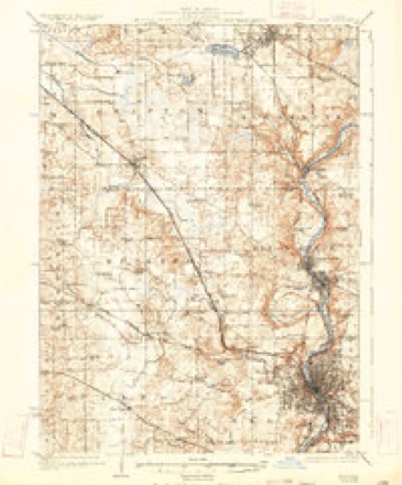
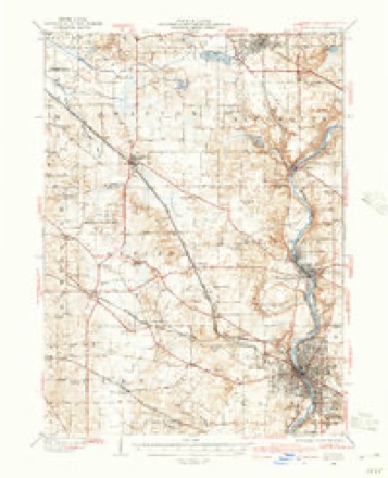
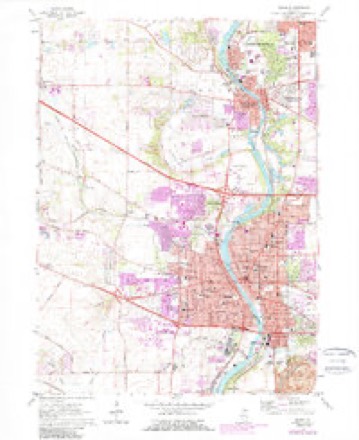
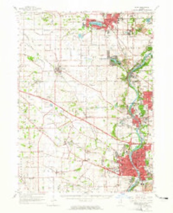
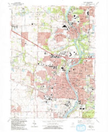
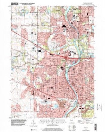
11 surveys from 20 printed sheetsMatched by testing this settlement's coordinate against the published boundary of every sheet in the United States Geological Survey's historical collection. Each opens the scanned sheet at the Survey.
- 1925 USGS Elgin quadrangle1:62500, 4 printings
- 1940 USGS Elgin quadrangle1:62500
- 1954 USGS Rockford quadrangle1:250000
- 1955 USGS Rockford quadrangle1:250000
- 1958 USGS Rockford quadrangle1:250000, 4 printings
- 1962 USGS Elgin quadrangle1:24000, 4 printings
- 1962 USGS Elgin quadrangle1:62500
- 1963 USGS Rockford quadrangle1:250000
- 1981 USGS Elgin quadrangle1:100000
- 1992 USGS Elgin quadrangle1:24000
- 1998 USGS Elgin quadrangle1:24000





In the county-history sources
4,451 words on this townshipHistory of Kane County, Ill., published 1908 names this settlement in its chapter on Dundee Township. These are the passages that mention it, exactly as the scans read.
The village of Carpentersville is in the township of Dundee and situated sue mile north of the village of Dundee, on Fox river. It was first settled by Daniel G. and Charles V. Carpenter in 1837. The village was surveyed and plaited in 185 1. The same year J. A. Carpenter built the first bridge across the river at his own expense. A school building was erected about 1855, two stories in height. The upper story is occupied by the Sons of Temperance, whose organization dates back to 185 1 and, what is remarkable, has been in active operation ever since. They have about forty members and a fine library of four hundred or five hundred volumes. There is one religious organization (Congregational) but no church building. A flourishing Sabbath school is kept up, however. An elegant iron bridge was built in 1869-70 at a cost of $10,000. The village has grown up entirely in consequence of the location of heavy manufactories here. The water power is good and well improved. It is almost exclusively owned by Hon. J. A. Carpenter, one of the most extensive and enterprising manufacturers in the West.
Passage source: History of Kane County, Ill., published 1908.
Our sketch of the various manufactories, all of which are wholly, or in part owned by Mr. Carpenter, will show what a single mind can accomplish when governed by sound judgment and business enterprise. A dam was built in 1837 by the Oatmans, of Dundee, with the intention of taking the water down on the west side for use at the village of Dundee. A canal was constructed and a sawmill built between the two villages and operated for some years, but the entire water power eventually fell into the hands of J. A. Carpenter, who commenced and continued developing the manufacturing business of Carpentersville until nearly the whole power is absorbed at that point. The remains of the Oatman canal are still to be seen, but its bed is dry.
Passage source: History of Kane County, Ill., published 1908.
An extensive deposit of peat is located east of Carpentersville, covering from loo to i6o acres. Attempts have been made to work it. but from some cause have not been successful. The bed averages six feet in thickness, and it is believed that a good quality of fuel might be prepared.
Passage source: History of Kane County, Ill., published 1908.
Machine-read from a century-old scan, so expect the errors a machine makes: misspelled names, dropped words, stray characters.
Read the whole chapter on Dundee Township - it names this place 6 more 6 times.
Mines and quarries near this place
10 of 14 shownRegional context, not property-specific evidence. The federal mineral resources record lists 14 workings within 5 miles of Carpentersville: 9 producers, 5 past producers. 9 still produce. What was taken out: Sand and Gravel, Construction. Distance is straight-line from the map coordinates, so a quarry counted here may appear on a neighbouring settlement's page as well.
| Where | Site | Commodity | Status | Recorded |
|---|---|---|---|---|
| Algonquin Pit #5 | Sand and Gravel, Construction | Producer | ||
| Algonquin Plant | Sand and Gravel, Construction | Past Producer | ||
| Algonquin Sand & Gravel | Sand and Gravel, Construction | Producer | ||
| Beverly Gravel Pit | Sand and Gravel, Construction | Producer | ||
| Carpentersville Pit #25 | Sand and Gravel, Construction | Producer | ||
| Dundee North Road Mat'Ls Corp | Sand and Gravel, Construction | Producer | ||
| Dundee Pit Meyer Material | Sand and Gravel, Construction | Producer | ||
| Dundee Pit Road Mat'Ls Corp | Sand and Gravel, Construction | Producer | ||
| Dundee S & G Pit | Sand and Gravel, Construction | Producer | ||
| Elgin Pit | Sand and Gravel, Construction | Past Producer |
Storms near this place
38 since 1997Regional context, not property-specific evidence. The National Weather Service names Carpentersville in 38 storm reports between 1997 and 2025: 22 thunderstorm wind, 12 hail, 1 lightning, 1 flash flood. The reports record 1 injury. Each account below is quoted exactly as the forecast office filed it, from the NOAA Storm Events Database, and each date opens the federal record of that event.
| When | Event | Place named | Harm | What the report says |
|---|---|---|---|---|
| September 1997 | Lightning | Carpentersville | 1 hurt | A 43 year old man suffered minor injuries when he was struck by lightning while changing a tire in a school parking lot. |
| March 2025 | Thunderstorm Wind | Carpentersville | - | Kane County EMA reported power lines down along Arrow St and Austin Ave in Carpentersville. |
| August 2025 | Thunderstorm Wind | Carpentersville | - | A tree had fallen and was balancing on power lines along Castlewood Dr in Carpentersville. |
| July 2022 | Thunderstorm Wind | Carpentersville | - | A large tree was blown down at Route 68 and Wakefield Drive. |
| June 2022 | Thunderstorm Wind | Carpentersville | - | Widespread tree and powerline damage was reported in Carpentersville. A few trees were snapped. The worst of the damage was east of the Fox River between Route 68 and Route 62. |
| August 2020 | Thunderstorm Wind | Carpentersville | - | Several whole trees were uprooted in Carpentersville along with numerous healthy 6 inch diameter tree limbs blown down. Fire crews responded to 14 reports of power lines blown down. One of these power lines started a fire in a detached garage on Golfview Lane. A tree fell onto a roof of a house on Wakefield Drive, leaving the house uninhabitable. |
| July 2017 | Heavy Rain | Carpentersville | - | Rainfall of 2.01 inches was measured in 1 hour and 40 minutes. |
| July 2012 | Thunderstorm Wind | Carpentersville | - | An eight inch diameter tree was blown down along with six inch diameter tree limbs. |
| May 2011 | Flood | Carpentersville | - | The intersection of Dundee Road and Golfview Lane was flooded. Two inches of rain fell over the hour leading up to this report. |
| September 2010 | Thunderstorm Wind | Carpentersville | - | Multiple trees were blown down. |
| March 2005 | Hail | Carpentersville | - | Quarter sized hail was reported and 66 mph wind gust measured with unofficial equipment. |
| March 2005 | Thunderstorm Wind | Carpentersville | - | Roof and structural damage reported. |
| May 2004 | Thunderstorm Wind | Carpentersville | - | A wind gust measured with unoffical equipment. Also, trees were blown down. |
| May 2004 | Thunderstorm Wind | Carpentersville | - | A large tree fell on house causing substantial damage to the house. |
| May 2004 | Flash Flood | Carpentersville | - | Street flooding occurred after 1.75 inches of rain fell in 35 minutes. |
| May 2004 | Thunderstorm Wind | Carpentersville | - | A ham radio tower and antenna, and large tree limbs were blown down. |
| May 2004 | Thunderstorm Wind | Carpentersville | - | Wind was measured on a private weather sensor. |
| May 2004 | Thunderstorm Wind | Carpentersville | - | Large tree branches were down. |
| June 1999 | Thunderstorm Wind | Carpentersville | - | A spotter reported a 72 mph wind gust. |
| June 2021 | Hail | Carpentersville | - | no account filed |
| June 2020 | Hail | Carpentersville | - | no account filed |
| July 2015 | Hail | Carpentersville | - | no account filed |
| April 2014 | Hail | Carpentersville | - | no account filed |
| May 2006 | Hail | Carpentersville | - | no account filed |
| May 2004 | Thunderstorm Wind | Carpentersville | - | no account filed |
| May 2004 | Hail | Carpentersville | - | no account filed |
| May 2004 | Hail | Carpentersville | - | no account filed |
| April 2003 | Hail | Carpentersville | - | no account filed |
| July 2003 | Hail | Carpentersville | - | no account filed |
| July 2003 | Thunderstorm Wind | Carpentersville | - | no account filed |
| August 2002 | Thunderstorm Wind | Carpentersville | - | no account filed |
| August 2001 | Hail | Carpentersville | - | no account filed |
| May 2000 | Thunderstorm Wind | Carpentersville | - | no account filed |
| May 2000 | Hail | Carpentersville | - | no account filed |
| July 1999 | Thunderstorm Wind | Carpentersville | - | no account filed |
| May 1998 | Thunderstorm Wind | Carpentersville | - | no account filed |
| July 1998 | Thunderstorm Wind | Carpentersville | - | no account filed |
| July 1997 | Thunderstorm Wind | Carpentersville | - | no account filed |
Nearest settlements
The eight closest, with where each one stands in the county. Distances are straight-line, computed from the Geographic Names Information System coordinates.
| Map | Place | Distance | Sheets |
|---|---|---|---|
| East Dundee | 1.7 miles | 20 | |
| Middlebury | 1.9 miles | 19 | |
| West Dundee | 2.1 miles | 20 | |
| Sleepy Hollow | 3.0 miles | 20 | |
| Binnie Lakes | 5.4 miles | 20 | |
| Binnie Hills | 5.6 miles | 20 | |
| Illinois Park | 5.9 miles | 20 | |
| Almora | 5.9 miles | 20 |
Elsewhere
Matched on this settlement's Geographic Names Information System number rather than its name, so it cannot be a different place of the same name in another state.
| Wikipedia article on Carpentersville | An encyclopaedic summary. Its text is share-alike, so it is linked here rather than copied. |
| Wikidata item Q1044751 | The structured record the population and elevation above come from. Public domain (CC0). |
Provenance
This settlement is recorded in the Geographic Names Information System as feature 405626. The sheet list is computed by point-in-boundary test against the United States Geological Survey's historical topographic inventory. Both are works of the United States government and carry no copyright under 17 U.S.C. 105.
Mines and quarries. USGS Mineral Resources Data System (MRDS) https://mrdata.usgs.gov/mrds/ A work of the United States government, no copyright under 17 U.S.C. 105.
Storms. NOAA National Centers for Environmental Information, Storm Events Database https://www.ncei.noaa.gov/stormevents/ A work of the United States government, no copyright under 17 U.S.C. 105. Narratives are quoted verbatim from the National Weather Service report and are not edited or summarised.