 Block
Catharine, Illinois
10 topographic sheets cover this place, the earliest surveyed in 1948 and the latest in 1985. It stands in Serena Township. It lies in ZIP code area 60551. The Survey maps it on the Sheridan quadrangle. It stands 643 feet above sea level.
Topographic sheets covering this place
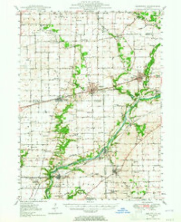
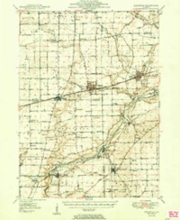
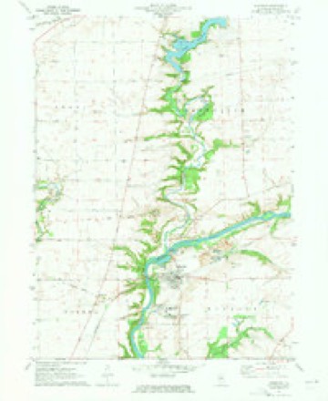
6 surveys from 10 printed sheetsMatched by testing this settlement's coordinate against the published boundary of every sheet in the United States Geological Survey's historical collection. Each opens the scanned sheet at the Survey.
- 1948 USGS Sandwich quadrangle1:62500
- 1950 USGS Sandwich quadrangle1:62500, 2 printings
- 1958 USGS Aurora quadrangle1:250000, 3 printings
- 1961 USGS Aurora quadrangle1:250000
- 1971 USGS Sheridan quadrangle1:24000, 2 printings
- 1985 USGS Aurora quadrangle1:100000



In the county-history sources
4,237 words on this townshipHistory of LaSalle County, Illinois : Its Topography, Geology, Botany, Natural History, History of the Mound Builders, Indian Tribes, French Explorations, and a Sketch of the Pioneer Settlers of Each Town to 1840, with an Appendix, Giving the Present Status of the County, Its Population, Resources, Manufactures and Institutions, published 1877 names this settlement in its chapter on Serena Township. These are the passages that mention it, exactly as the scans read.
He died in April, 1867. His widow married Peter Dick, and lives on Section 17. He left six children: Elizabeth, married Anthony Hoar, in Missouri; Ardilla, married Henry Hoar. deceased; Luther. married Catharine Cristler, at Streator; Huron, is in Nebraska; Ruden, married Charlotte Wright, of Serena; Louis $., married Eliza MeClnre, of Serena,
Samuel Galloway, and wife, Catharine McOlure, of Scoteh descent, from near Londonderry, in the north of Lreland ; emigrated to America, and settled in Lexington, Green County, New York, about 1806 - his wife died in 1815; his second wife was Lydia Moore, who died 1833. He removed to Ia Salle County, Illinois, June, 1837, with all his children; he first located near where Tonica now is, and in 1840 moved on to S. 6, 'T. 31, R. 3 - known as the Galloway farm, and the location of the Galloway postoflice. He died July 24, 1840. His children by his first wife were: Catharine, who married Joseph T. Bullock, and lives near Tonlea ; Samuel C., died single, August 24, 1840; Francis, married Elizabeth J. A. Galloway, and settled on $.1, T. 31, R. 2 - he died July 24, 1889; Mary, married John Briley, and lived on 8. 1, T. 31, R. 2. She died Dec. 25, 1876. The children of the seoond wife are: Elijah M., who married Elizabeth Halcott, daughter of Colonel Thomas Halcott, from Green County, New York, Elijah was Postmaster and Justice of the Peace for several years; he now lives near Monroe City, Missouri; Lydia M., mar vied Henry Slater; her second husband was W. Holly. who died in California. She {s now living with her third husband, Jefferson Smith, in Mich.
Levi Jennings, Jr., a native of Connecticut, when 47 years old, went to Beaver County, Pa., and while there his father moved to Tilinoi He married Emily Allis, and moved to Illinois in 1845, and first settled near his father, then on 8. 8, T. 32, R. 5. He died in 1852, aged 60. His widow survives, aged 69. His children are: Matthew, married Clara Ferguson, lives in Brookfield ; Mary, married Riohard Gage, of the same place; Henry, the first child born in Brookfield, lives in Allon; Frederick, mar- Med Lucy Bishop, lives in Allen; Lucy Ann, is im Marseilles: Catharine Louisa, married Reuben Smalion, of Allen; Julia, married John J. Ford, of Brookfield ; Emily Jane, married Geo. 8. Beach, a Congregational minister, in Ohio,
Machine-read from a century-old scan, so expect the errors a machine makes: misspelled names, dropped words, stray characters.
Read the whole chapter on Serena Township - it names this place 1 more 1 time.
Fires near this place
2 since 2015Regional context, not property-specific evidence. The federal wildfire occurrence database lists 2 fires within 5 miles of Catharine in 2015, burning about 50 acres in total. None started naturally. None was recorded as arson. Distance is straight-line from the map coordinates, so a fire counted here may appear on a neighbouring settlement's page as well.
| Reported cause | Fires |
|---|---|
| Debris and open burning | 2 |
The most recent of them, most recent first, with the day each was reported and the service that recorded it.
| Date | Cause | Size | Reported by | Name on the report |
|---|---|---|---|---|
| 11 April 2015 | Debris and open burning | under an acre | Illinois Division of Forestry Resources | 15103 |
| 31 March 2015 | Debris and open burning | 50 acres | Illinois Division of Forestry Resources | 15084 |
Settlements close enough to share some of these fires:
Mines and quarries near this place
9 within 5 milesRegional context, not property-specific evidence. The federal mineral resources record lists 9 workings within 5 miles of Catharine: 5 past producers, 4 producers. 4 still produce. What was taken out: Sand and Gravel, Construction, Silica, Stone, Crushed/Broken. Distance is straight-line from the map coordinates, so a quarry counted here may appear on a neighbouring settlement's page as well.
| Where | Site | Commodity | Status | Recorded |
|---|---|---|---|---|
| Garrow Quarry & Mill | Stone, Crushed/Broken | Producer | ||
| Serena Sand Plant-Zemi Corp. Pit | Silica | Producer | ||
| Hoxsey Sand Co. Pit | Sand and Gravel, Construction | Past Producer | ||
| Serena Rhodes Pit / Portable #2 | Sand and Gravel, Construction | Past Producer | ||
| Sheridan Pit / W.S. Portable #1 | Sand and Gravel, Construction | Producer | ||
| Sheridan Plant No. 5 & Pit | Sand and Gravel, Construction | Producer | ||
| Sheridan-Gravel Pit | Sand and Gravel, Construction | Past Producer | ||
| Thompson Pit | Sand and Gravel, Construction | Past Producer | ||
| Tri-County Sand & Gravel Pit | Sand and Gravel, Construction | Past Producer |
Storms near this place
2 since 2014Regional context, not property-specific evidence. The National Weather Service names Catharine in 2 storm reports between 2014 and 2023: 1 thunderstorm wind, 1 tornado. No death or injury is recorded in these reports. Each account below is quoted exactly as the forecast office filed it, from the NOAA Storm Events Database, and each date opens the federal record of that event.
| When | Event | Place named | Harm | What the report says |
|---|---|---|---|---|
| July 2023 | Tornado (EFU) | Catharine | - | Based on a clear path evident in high resolution satellite data, a tornado touched down near the intersection of N 44th and E 2225th roads and continued southeast before lifting west of E 2351st Road. The tornado appeared to occur along the leading edge of a gust front where radar indicated weak rotational convergence. Damage along the tornado's path was entirely to farm crops. |
| June 2014 | Thunderstorm Wind | Catharine | - | A large tree was blown down. |
Nearest settlements
The eight closest, with where each one stands in the county. Distances are straight-line, computed from the Geographic Names Information System coordinates.
Elsewhere
Matched on this settlement's Geographic Names Information System number rather than its name, so it cannot be a different place of the same name in another state.
| Wikidata item Q5052093 | The structured record the population and elevation above come from. Public domain (CC0). |
Provenance
This settlement is recorded in the Geographic Names Information System as feature 405700. The sheet list is computed by point-in-boundary test against the United States Geological Survey's historical topographic inventory. Both are works of the United States government and carry no copyright under 17 U.S.C. 105.
Wildfire. Short, Karen C. 2022. Spatial wildfire occurrence data for the United States, 1992-2020 [FPA_FOD_20221014]. 6th Edition. Fort Collins, CO: Forest Service Research Data Archive. https://doi.org/10.2737/RDS-2013-0009.6 Collected with United States Government funding and usable without additional permissions or fees.
Mines and quarries. USGS Mineral Resources Data System (MRDS) https://mrdata.usgs.gov/mrds/ A work of the United States government, no copyright under 17 U.S.C. 105.
Storms. NOAA National Centers for Environmental Information, Storm Events Database https://www.ncei.noaa.gov/stormevents/ A work of the United States government, no copyright under 17 U.S.C. 105. Narratives are quoted verbatim from the National Weather Service report and are not edited or summarised.