 Block
Northville, Illinois
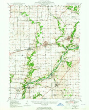
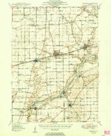
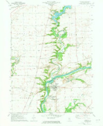
10 topographic sheets cover this place, the earliest surveyed in 1948 and the latest in 1985. It stands in Northville Township. It lies in ZIP code area 60551. The Survey maps it on the Sheridan quadrangle. It stands 656 feet above sea level.
Topographic sheets covering this place
6 surveys from 10 printed sheetsMatched by testing this settlement's coordinate against the published boundary of every sheet in the United States Geological Survey's historical collection. Each opens the scanned sheet at the Survey.
- 1948 USGS Sandwich quadrangle1:62500
- 1950 USGS Sandwich quadrangle1:62500, 2 printings
- 1958 USGS Aurora quadrangle1:250000, 3 printings
- 1961 USGS Aurora quadrangle1:250000
- 1971 USGS Sheridan quadrangle1:24000, 2 printings
- 1985 USGS Aurora quadrangle1:100000



In the county-history sources
1,330 words on this townshipHistory of LaSalle County, Illinois : Its Topography, Geology, Botany, Natural History, History of the Mound Builders, Indian Tribes, French Explorations, and a Sketch of the Pioneer Settlers of Each Town to 1840, with an Appendix, Giving the Present Status of the County, Its Population, Resources, Manufactures and Institutions, published 1877 names this settlement in its chapter on Northville Township. These are the passages that mention it, exactly as the scans read.
The town lies between the main line and branch of the Chicago, Burlington & Quincy Railroad, and has several railroad stations and market towns near its borders, but none within its limits, conseqaently its market places, social institutions and churches are mostly in the adjoining towns, giving them the benefit of the wealth and population ereated in part by the business from Northville. The townoceupies the northeast corner of the county.
Dachess County, New York, in 1887. He died in 1540, leaving five children: James, died in 1847; Sarah, married James Jackson, of Northville; Ellen, married Thomas Blanchard, of Kansas; Caroline, married Wallace Hathron; and Edgar, married Martha Bennet, of Northyille.
Thomas Gransden, from England to Ulster Co., New York, in 1824, and settled on 8. 30, T. 36, R. 5, in 1837. He married Eliza Powell, and has two #ons, Thomas, and Albert, and three daughters, Anna, Alice and Martha; all at home, except Mar tha, who married Edward Armstrong, of Northville
Machine-read from a century-old scan, so expect the errors a machine makes: misspelled names, dropped words, stray characters.
Read the whole chapter on Northville Township - it names this place 3 more 3 times.
Mines and quarries near this place
5 within 5 milesRegional context, not property-specific evidence. The federal mineral resources record lists 5 workings within 5 miles of Northville: 3 producers, 2 past producers. 3 still produce. What was taken out: Sand and Gravel, Construction, Stone, Crushed/Broken. Distance is straight-line from the map coordinates, so a quarry counted here may appear on a neighbouring settlement's page as well.
| Where | Site | Commodity | Status | Recorded |
|---|---|---|---|---|
| Garrow Quarry & Mill | Stone, Crushed/Broken | Producer | ||
| Sheridan Pit / W.S. Portable #1 | Sand and Gravel, Construction | Producer | ||
| Sheridan Plant No. 5 & Pit | Sand and Gravel, Construction | Producer | ||
| Sheridan-Gravel Pit | Sand and Gravel, Construction | Past Producer | ||
| Tri-County Sand & Gravel Pit | Sand and Gravel, Construction | Past Producer |
Nearest settlements
The eight closest, with where each one stands in the county. Distances are straight-line, computed from the Geographic Names Information System coordinates.
Elsewhere
Matched on this settlement's Geographic Names Information System number rather than its name, so it cannot be a different place of the same name in another state.
| Wikipedia article on Northville | An encyclopaedic summary. Its text is share-alike, so it is linked here rather than copied. |
| Wikidata item Q7059872 | The structured record the population and elevation above come from. Public domain (CC0). |
Provenance
This settlement is recorded in the Geographic Names Information System as feature 414702. The sheet list is computed by point-in-boundary test against the United States Geological Survey's historical topographic inventory. Both are works of the United States government and carry no copyright under 17 U.S.C. 105.
Mines and quarries. USGS Mineral Resources Data System (MRDS) https://mrdata.usgs.gov/mrds/ A work of the United States government, no copyright under 17 U.S.C. 105.