 Block
Cobden, Illinois
23 topographic sheets cover this place, the earliest surveyed in 1924 and the latest in 1996. It stands in Cobden District 1 precinct. It lies in ZIP code area 62920. It lies near Tiptop Knob. The Survey maps it on the Cobden quadrangle. 1,074 people lived here at the 2020 count. It stands 587 feet above sea level.
Population over time
2 figuresCobden fell from 1,157 to 1,074 between 2010 and 2020. These are the recorded population figures Wikidata holds for this place, reached through the Geographic Names Information System number this page is keyed on rather than by name, so they belong to this place and not to another of the same name. Most are census counts, but not all are: an early figure may be a founding or settlement estimate, and an estimate published within five years of a census is left out. The change column is computed, and is left blank where more than 20 years separate a figure from the one before it, because a gap that long is not a change between two counts.
| Year | People | Change |
|---|---|---|
| 2010 | 1,157 | |
| 2020 | 1,074 | -83 (-7%) |
Topographic sheets covering this place
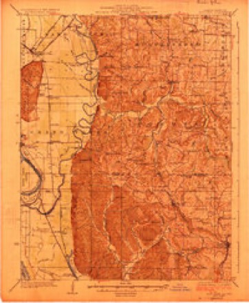
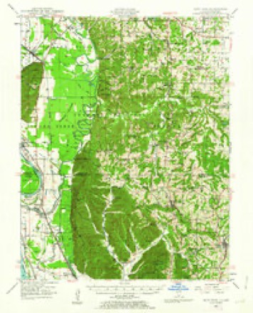
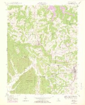
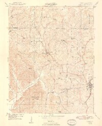
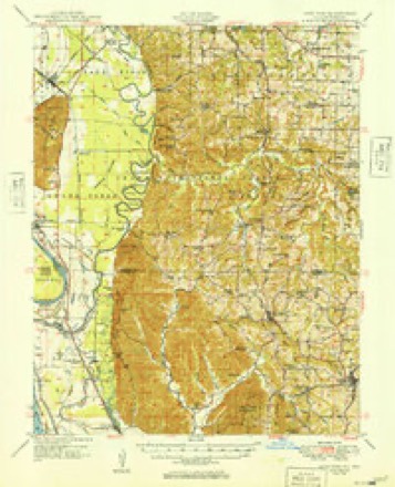
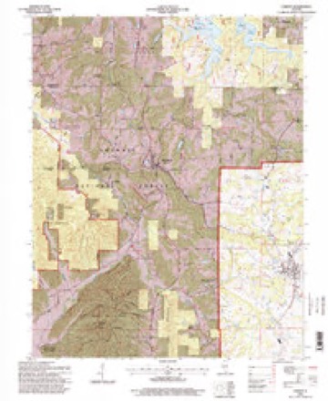
14 surveys from 23 printed sheetsMatched by testing this settlement's coordinate against the published boundary of every sheet in the United States Geological Survey's historical collection. Each opens the scanned sheet at the Survey.
- 1924 USGS Alto Pass quadrangle1:62500, 2 printings
- 1947 USGS Alto Pass quadrangle1:62500, 2 printings
- 1947 USGS Cobden quadrangle1:24000, 3 printings
- 1948 USGS Cobden quadrangle1:24000, 2 printings
- 1949 USGS Alto Pass quadrangle1:62500
- 1949 USGS Paducah quadrangle1:250000, 2 printings
- 1950 USGS Paducah quadrangle1:250000
- 1954 USGS Paducah quadrangle1:250000, 2 printings
- 1961 USGS Paducah quadrangle1:250000, 2 printings
- 1964 USGS Paducah quadrangle1:250000, 2 printings
- 1984 USGS Carbondale quadrangle1:100000
- 1986 USGS Carbondale quadrangle1:100000
- 1987 USGS Paducah quadrangle1:250000
- 1996 USGS Cobden quadrangle1:24000






Fires near this place
13 since 1994Regional context, not property-specific evidence. The federal wildfire occurrence database lists 13 fires within 5 miles of Cobden between 1994 and 2020, burning about 65 acres in total. None started naturally. 2 were recorded as arson. Distance is straight-line from the map coordinates, so a fire counted here may appear on a neighbouring settlement's page as well.
| Reported cause | Fires |
|---|---|
| Debris and open burning | 7 |
| Recreation and ceremony | 2 |
| Arson/incendiarism | 2 |
| Missing data/not specified/undetermined | 1 |
| Power generation/transmission/distribution | 1 |
The most recent of them, most recent first, with the day each was reported and the service that recorded it.
| Date | Cause | Size | Reported by | Name on the report |
|---|---|---|---|---|
| 14 September 2013 | Recreation and ceremony | under an acre | Shawnee National Forest | KAOLIN POND ROAD |
| 6 April 2013 | Recreation and ceremony | under an acre | Shawnee National Forest | KAOLIN POND |
| 3 April 2011 | Power generation/transmission/distribution | 1.3 acres | Shawnee National Forest | ALTO WATERWORKS |
| 27 April 2007 | Missing data/not specified/undetermined | 5.0 acres | Shawnee National Forest | HARD TIMES 2 |
| 14 April 2006 | Debris and open burning | under an acre | Shawnee National Forest | ROWAN |
| 8 March 2007 | Debris and open burning | 4.5 acres | Shawnee National Forest | KARBERS RIDGE |
| 2 March 2020 | Debris and open burning | 30 acres | Illinois Division of Forestry Resources | 82020 |
| 15 March 1994 | Debris and open burning | 5.0 acres | Shawnee National Forest | not named |
Settlements close enough to share some of these fires:
Mines and quarries near this place
10 of 12 shownRegional context, not property-specific evidence. The federal mineral resources record lists 12 workings within 5 miles of Cobden: 7 occurrences, 3 prospects, 2 past producers. None of them still produces. What was taken out: Stone, Crushed/Broken, Fluorine-Fluorite, Limestone, Dimension, Fire Clay (Refractory). Distance is straight-line from the map coordinates, so a quarry counted here may appear on a neighbouring settlement's page as well.
| Where | Site | Commodity | Status | Recorded |
|---|---|---|---|---|
| New Albany Shale Exposure | Clay | Prospect | ||
| Shawnee Special Use Silica Deposit 1 | Silica | Occurrence | ||
| Fluorite and Limestone Mine | Fluorine-Fluorite, Limestone, Dimension | Past Producer | ||
| Limestone Occurrence No.1 | Limestone, Dimension | Occurrence | ||
| Shawnee High Interest Refractory Clay Deposit | Fire Clay (Refractory) | Occurrence | Sedimentary | |
| Union County Area-Fireclays | Fire Clay (Refractory) | Past Producer | ||
| Fluorine Occurrence No. 1 | Fluorine-Fluorite | Occurrence | ||
| Fluorine Occurrence No. 1 | Fluorine-Fluorite | Occurrence | ||
| Limestone Prospect | Stone, Crushed/Broken | Occurrence | ||
| Limestone Prospect | Stone, Crushed/Broken | Occurrence |
Storms near this place
24 since 1997Regional context, not property-specific evidence. The National Weather Service names Cobden in 24 storm reports between 1997 and 2025: 10 thunderstorm wind, 6 hail, 4 flash flood, 2 heavy rain. The reports record 1 death. Each account below is quoted exactly as the forecast office filed it, from the NOAA Storm Events Database, and each date opens the federal record of that event.
| When | Event | Place named | Harm | What the report says |
|---|---|---|---|---|
| June 2019 | Flash Flood | Cobden | 1 killed, $30,000 | Severe flash flooding impacted Union County. There were two water rescues in the county. One car stalled in high water on Mount Glen Road near Cobden. First responders were able to rescue the driver, a young female. The second water rescue involved a vehicle in the Trail of Tears State Forest near Ware. The vehicle was swept off State Forest Road where it crosses Clear Creek. Two people were in the vehicle at the time it was swept off the road. The male involved was able to escape. The body of the other person in the vehicle, a female in her late 50's, was found deceased the following morning less than a mile downstream from the vehicle. Elsewhere in the area, one lane of Highway 146 near the intersection of Highway 3 was flooded. A trained spotter reported 4.0 inches of rainfall in 24 hours three miles east of Ware. The public reported 4.5 inches of rain in 24 hours at Cobden. |
| April 2014 | Flash Flood | Cobden | $80,000 | Numerous vehicles were swept off the roadway. A home was flooded, with water as high as the electrical panel. One homeowner was rescued. |
| August 2009 | Thunderstorm Wind | Cobden | $50,000 | Numerous trees and power lines were down in northern and central Union County, including the communities of Anna, Jonesboro, and Cobden. Winds were estimated up to 70 mph in Cobden. |
| April 2006 | Thunderstorm Wind | Cobden | $50,000 | In Cobden, a farmstead was heavily damaged. The chimney of a house fell and smashed through a deck. A carport was destroyed. A boat was blown 75 feet, and a barn was unroofed. On the neighboring property, three outbuildings were destroyed and nine trees were blown down. Other trees and power lines were down in the Cobden area. A house was damaged four miles north of Cobden. |
| May 2000 | Hail | Cobden | $50,000 | Local newspapers showed photos of the hailstones, some of which were nearly the size of golf balls. Strong winds up to 50 MPH accompanied the storm. A large tree was down across a street in Anna, and a large limb was down in Jonesboro. |
| May 2011 | Thunderstorm Wind | Cobden | $40,000 | A mobile home was flipped over. A large maple tree about three feet in diameter was uprooted. A two-foot tree was snapped in half. A small apple tree was uprooted. |
| April 2011 | Thunderstorm Wind | Cobden | $20,000 | A trained spotter estimated winds gusted to 65 mph. Numerous trees were blown down, knocking out power to Cobden and Alto Pass. Some minor damage was reported to a small number of structures. |
| November 2005 | Thunderstorm Wind | Cobden | $10,000 | A microburst with wind speeds of 60-70 mph damaged several mobile homes. Two of the mobile homes had their roofs torn off, six others sustained minor damage. Several large tree limbs were down and a few trees were snapped off at their bases. A house and shed received minor roof damage. |
| June 2019 | Thunderstorm Wind | Cobden | $8,000 | Trees were blown down on power lines. |
| August 2007 | Thunderstorm Wind | Cobden | $6,000 | A number of large trees were toppled. |
| September 2025 | Thunderstorm Wind | Cobden | $5,000 | Several power outage reports were made from Cobden and Jonesboro as the thunderstorm outflow boundary swept through northern Union County. Distance from the storm core suggests wind was the predominant cause rather than lightning. |
| May 2018 | Thunderstorm Wind | Cobden | $3,000 | Medium size trees were uprooted. The trees fell across a back road, blocking the road. |
| July 2009 | Lightning | Cobden | $1,000 | Lightning struck a tall white oak tree and may have started a fire at a telephone company switching building. |
| April 2022 | Hail | Cobden | - | Hail was up to nickel size for about five minutes. |
| July 2020 | Flash Flood | Cobden | - | Several inches of water flowed across Old Highway 51 near Cobden. Four other roads nearby were also covered by water. |
| March 2015 | Heavy Rain | Cobden | - | Water was over a secondary road in a remote area of the Shawnee National Forest. The water was rising and running across the road. |
| April 2014 | Flood | Cobden | - | Numerous roads remained underwater due to the heavy rain over the previous 24 hours. |
| July 2009 | Heavy Rain | Cobden | - | Lots of standing water was observed in town. Water was flowing over the intersection of old U.S. Route 51 and a side street. Flooding of this intersection was seen as a rare occurrence by longtime residents of the community. A co-operative observer measured 3.28 inches of rain over a two-day period, ending with the storms. |
| May 2008 | Flash Flood | Cobden | - | Ankle-deep water was running across U.S. 51. |
| April 2002 | Thunderstorm Wind | Cobden | - | Two trees were down in the Trail of Tears State Park. |
| June 1997 | Hail | Cobden | - | Nickel size hail was also reported near Licking Creek. |
| March 2004 | Hail | Cobden | - | no account filed |
| April 2003 | Hail | Cobden | - | no account filed |
| April 2003 | Hail | Cobden | - | no account filed |
Nearest settlements
The eight closest, with where each one stands in the county. Distances are straight-line, computed from the Geographic Names Information System coordinates.
| Map | Place | Distance | Sheets |
|---|---|---|---|
| Mason | 0.5 miles | 23 | |
| Mountain Glen | 1.9 miles | 23 | |
| Kaolin | 2.8 miles | 23 | |
| Alto Pass | 4.3 miles | 23 | |
| Water Valley | 4.5 miles | 21 | |
| Anna | 4.9 miles | 19 | |
| Saratoga | 5.3 miles | 21 | |
| Berryville | 5.5 miles | 24 |
Elsewhere
Matched on this settlement's Geographic Names Information System number rather than its name, so it cannot be a different place of the same name in another state.
| Wikipedia article on Cobden | An encyclopaedic summary. Its text is share-alike, so it is linked here rather than copied. |
| Wikidata item Q1859328 | The structured record the population and elevation above come from. Public domain (CC0). |
Provenance
This settlement is recorded in the Geographic Names Information System as feature 406316. The sheet list is computed by point-in-boundary test against the United States Geological Survey's historical topographic inventory. Both are works of the United States government and carry no copyright under 17 U.S.C. 105.
Wildfire. Short, Karen C. 2022. Spatial wildfire occurrence data for the United States, 1992-2020 [FPA_FOD_20221014]. 6th Edition. Fort Collins, CO: Forest Service Research Data Archive. https://doi.org/10.2737/RDS-2013-0009.6 Collected with United States Government funding and usable without additional permissions or fees.
Mines and quarries. USGS Mineral Resources Data System (MRDS) https://mrdata.usgs.gov/mrds/ A work of the United States government, no copyright under 17 U.S.C. 105.
Storms. NOAA National Centers for Environmental Information, Storm Events Database https://www.ncei.noaa.gov/stormevents/ A work of the United States government, no copyright under 17 U.S.C. 105. Narratives are quoted verbatim from the National Weather Service report and are not edited or summarised.